- ALBUMS
- THE BUCKET LIST
- 1974 - 1996 - DON
- 1975 - 1996 APRIL
- 1997 - 1999
- 2000
- 2001
- 2002
- 2003
- 2004
- 2005
-
2006
- New Years Day - 2006
- Painting Jackson'a Nursery - 2006
- January 2006 Memories
- Jackson's Birth - 2006
- Bringing Jackson Home - 2006
- Winter Memories - 2006
- Daddy-Daughter Dance - 2006
- Spring Memories - 2006
- Jackson's Baptism - 2006
- Easter - 2006
- Beach Trip - 2006
- Summer Memories - 2006
- Family Reunion - 2006
- Auburn Football Season - 2006
- Hannah's 2nd Birthday - 2006
- Montgomery Zoo Trip - 2006
- Halloween - 2006
- Fall Memories - 2006
- Thanksgiving - 2006
- Alsobrook Fancy Christmas Party - 2006
- Granny's Birthday Party - 2006
- Christmas - 2006
- Winter Memories - 2006
- Portraits - 2006
- 2007
- 2008
- 2009
- 2010
- 2011
- 2012
- 2013
- 2014
- 2015
- 2016
- 2017
- 2018
- 2019
-
2020
- NEW YEARS 2020
- TALLEDEGA NATIONAL PARK 2020
- SIPSEY WILDERNESS HIKE
- 2020 EASTER
- APRIL 2020 MEMORIES
- 2020 COVID PARADE
- JUNE 2020 GIRLS' TRIP NORTH GEORGIA MOUNTAINS
- FATHER'S DAY 2020
- 4th OF JULY IN CARRINGTON LAKES
- CONNOR'S 12th BIRTHDAY
- HANNAH'S 16th BIRTHDAY
- HALLOWEEN 2020
- THANKSGIVING 2020
- Christmas 2020
-
2021
- SKIING IN GATLINBURG
- SPRING BREAK IN SAVANNAH
- 2021 OUTDOOR TRACK SEASON
- NOAH'S GRADUATION PARTY
- JUNE 13 MOSS CREEK HIKE
- FATHER'S DAY 2021
- RIVER RAFTING THE OCOEE
- FAMILY REUNION & BEACH TRIP - 2021
- SUMMER AT THE GRAND
- DON'S 47th BIRTHDAY
- CONNOR'S 13th BIRTHDAY
- HANNAH'S 17th BIRTHDAY
- CONNOR'S BAND CONCERT 2021
- THANKSGIVING 2021
- INDOOR TRACK SEASON 2021
- LORNA'S SURPRISE PARTIES
- CHRISTMAS 2021
- NEW YEARS EVE 2021
- 2022
ABOUT DAY 3
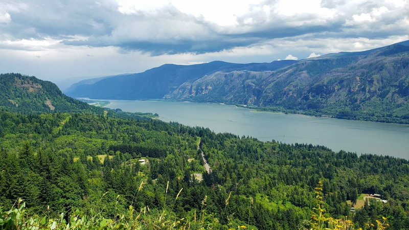
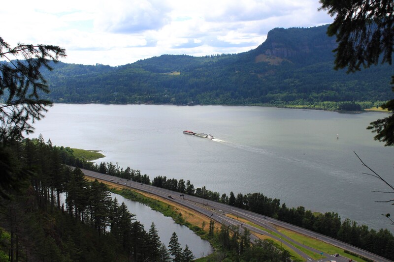
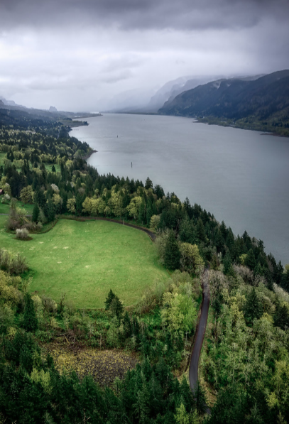
The Day 3 plan was to drive from Lake Cushman to the Cape Horn Overlook. From the overlook, we would drive to the Bonneville Dam and over the Bridge of the Gods. Once over the Bridge, we would take Historic Columbia River Highway to hike the waterfall trails. Because of the Eagle Creek Fire in 2017, we were not completely sure of what trails would be open and which would be closed. We hoped to hike the Punchbowl Falls Trail. Then, drive to see Horsetail Falls, which is right off the highway. From Horsetail Falls, we would drive to Multnomah Falls Lodge for lunch and then hike the biggest trail of our trip - the 9 mile Multnomah to Wahkenna Falls Loop. We wanted to do this trail because it had a plethora of must see waterfalls. If there was time after the hike, we hoped to stop by Latourell Falls and visiting the Ancient Forests in Oxbow Regional Park before driving to our Air BnB in Hillsboro.
We did not accomplish everything we hoped to for Day 3, but we enjoyed every minute of the things we did accomplish. We got to see the Columbia River from the Washington and Oregon sides, stop at the Bonneville Dam, cross the Bridge of the Gods, and see Horsetail Falls. We had lunch at the Bridgeside Restaurant, hiked the Multnomah to Wahkeena Trail, and ate dinner at Multnomah Lodge before driving to our Air BnB in Hillsboro. It was an incredible day and I feel incredibly grateful that I got to see this beautiful place!
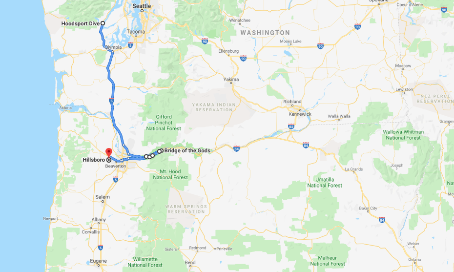
DAY 3 MAP
The map below shows where we traveled on Day 3.
Starting Point: Lake Cushman (Hoodsport)
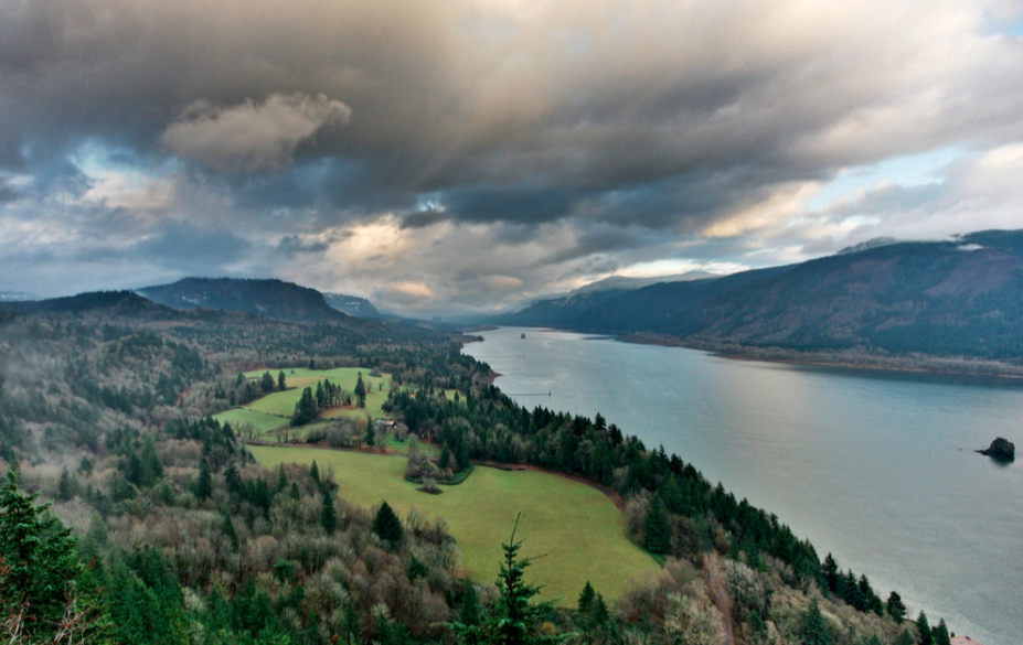
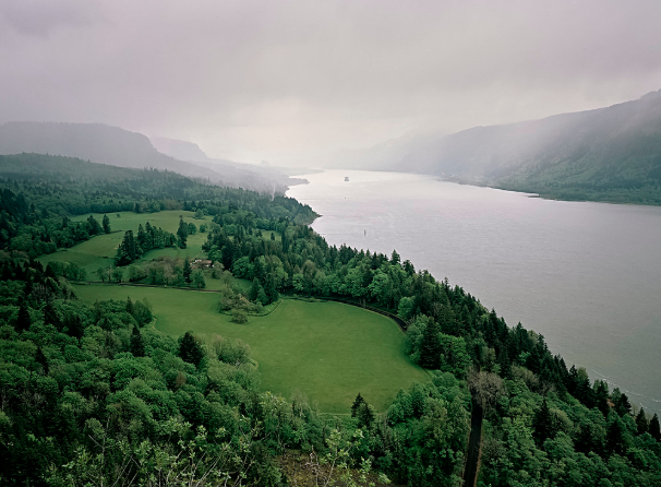
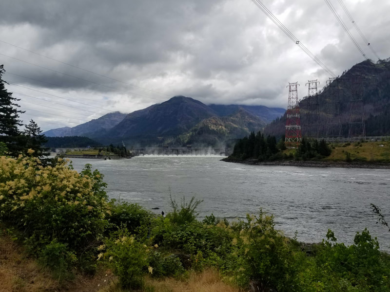
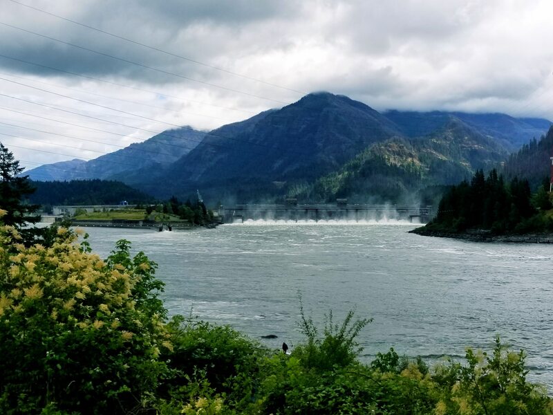
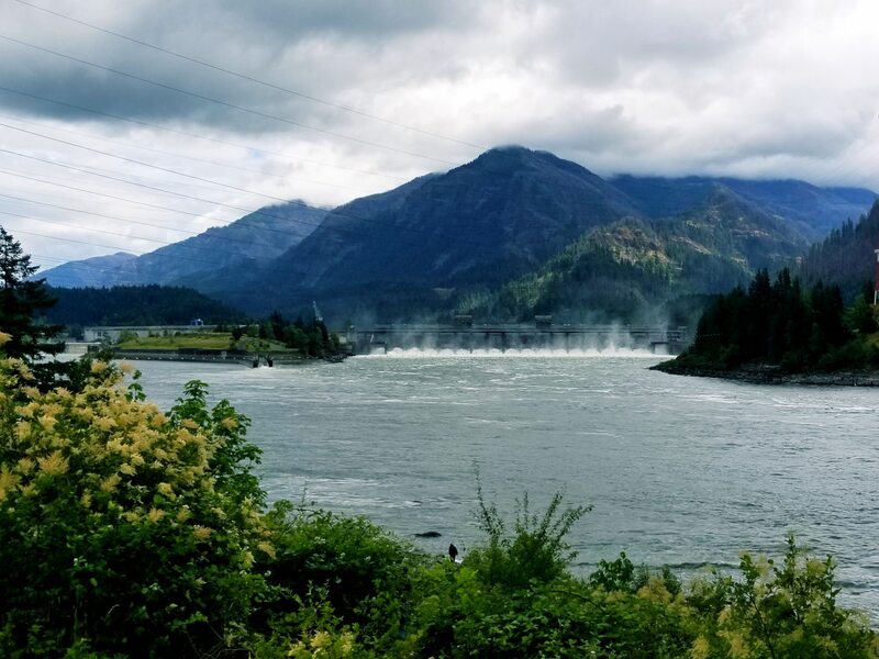
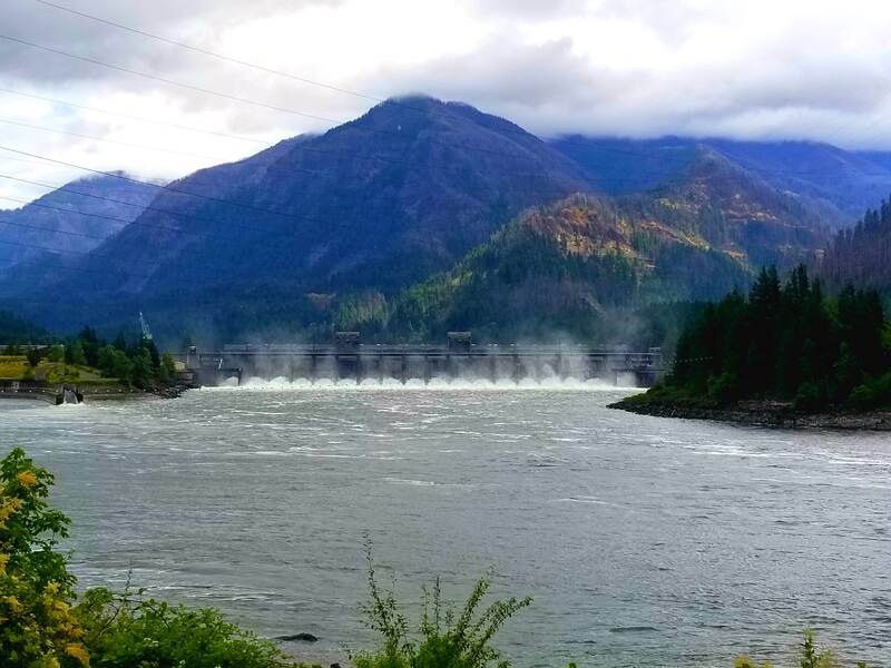
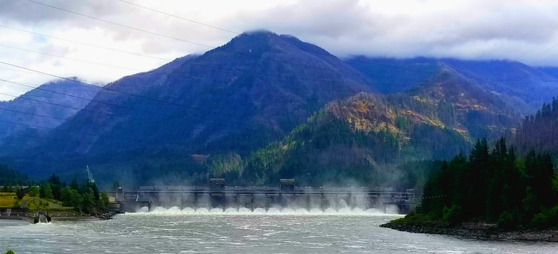
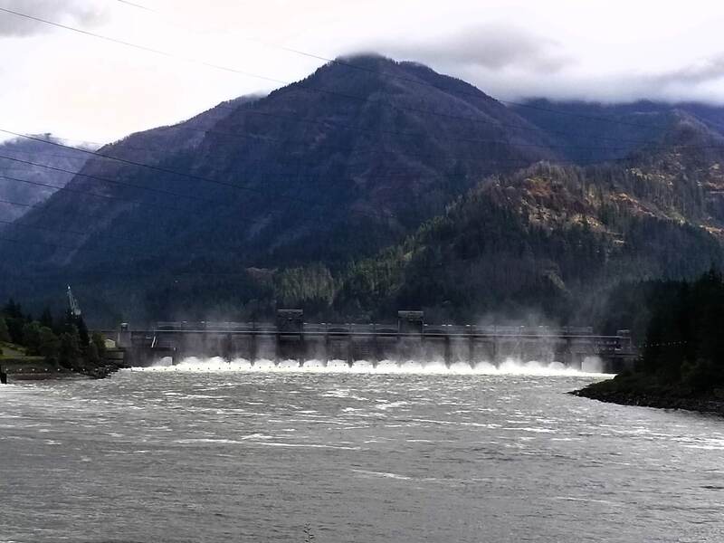
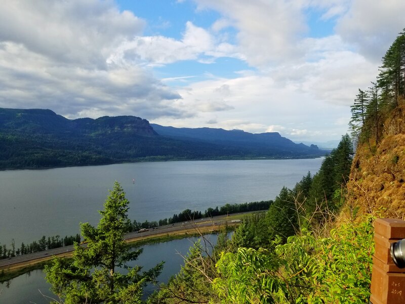
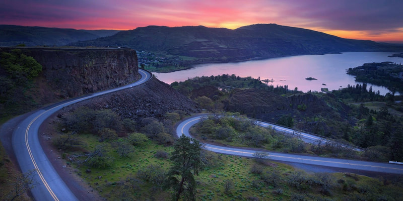
Stop 1: Cape Horn & Bonneville Dam
Stop 2: Bridge of the Gods and Bridgeside Restaurant
Stop 3: Horsetail Falls
Stop 4: Multnomah Falls to Wahkeena Falls Trail
Stop 5: Multnomah Lodge
Ending Point: Hillsboro
Starting Point: Lake Cushman (Hoodsport)
Stop 1: Cape Horn & Bonneville Dam
Stop 2: Bridge of the Gods and Bridgeside Restaurant
Stop 3: Horsetail Falls
Stop 4: Multnomah Falls to Wahkeena Falls Trail
Stop 5: Multnomah Lodge
Ending Point: Hillsboro
The Starting Point
LAKE CUSHMAN, WASHINGTON
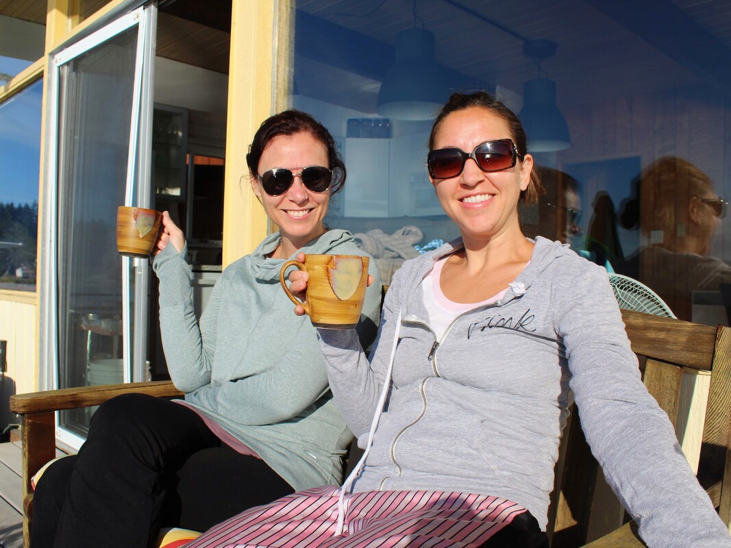
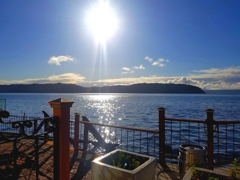
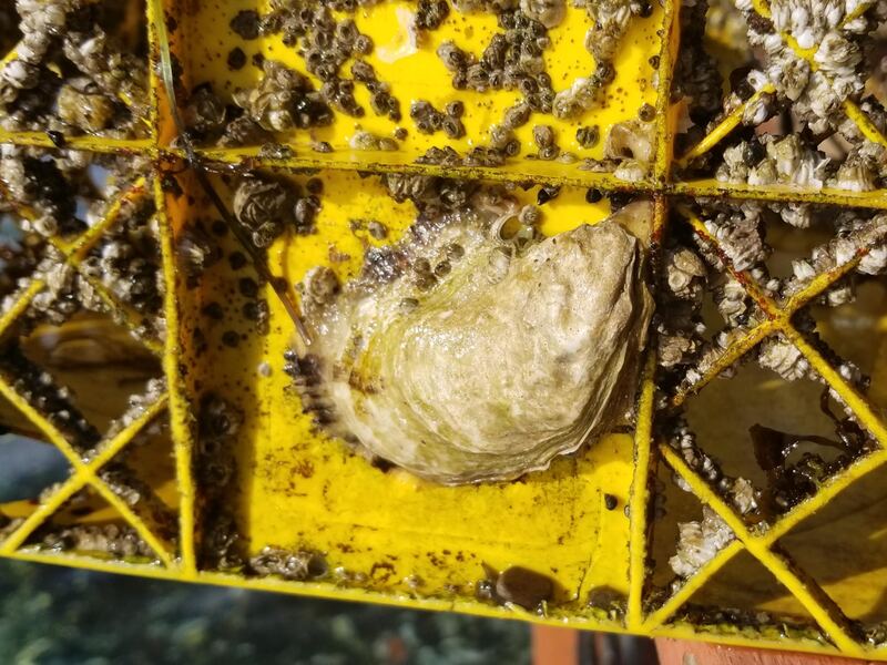
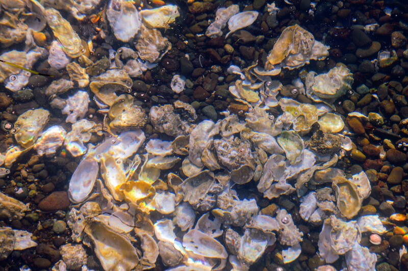
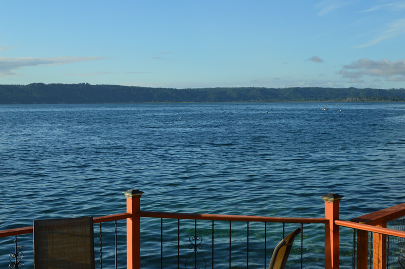
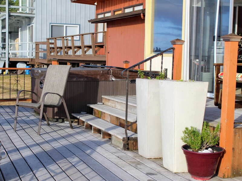
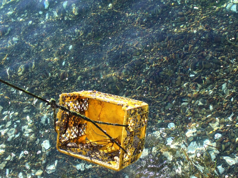
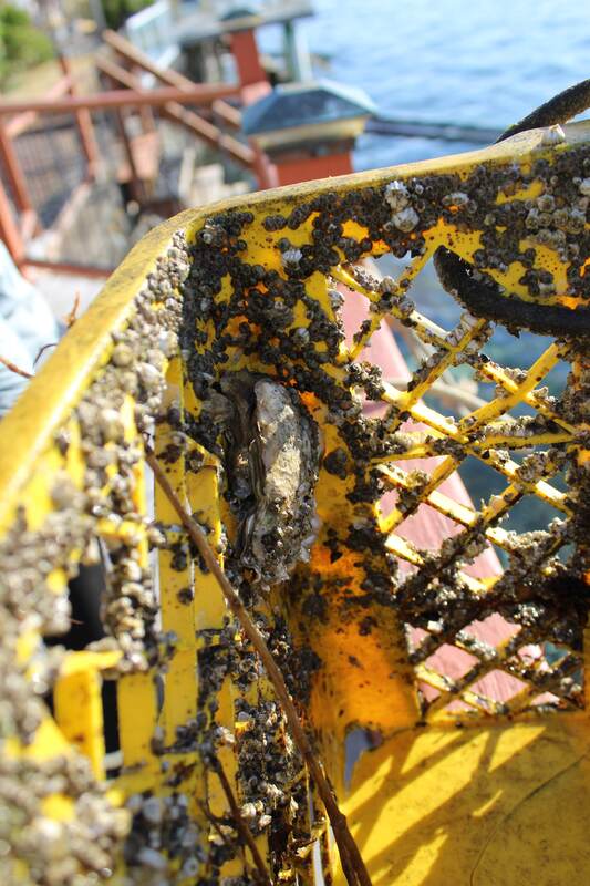
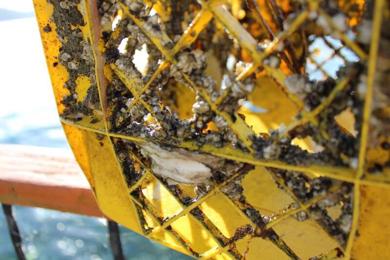
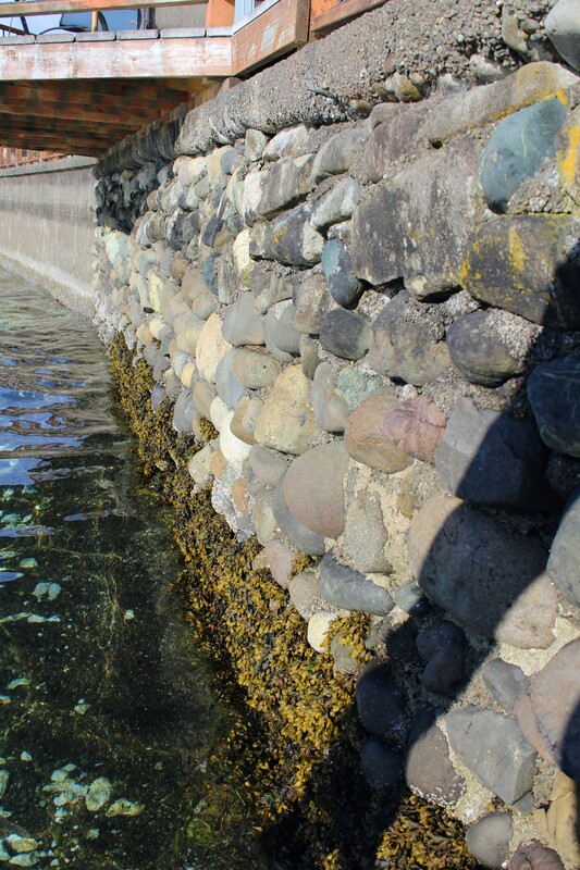
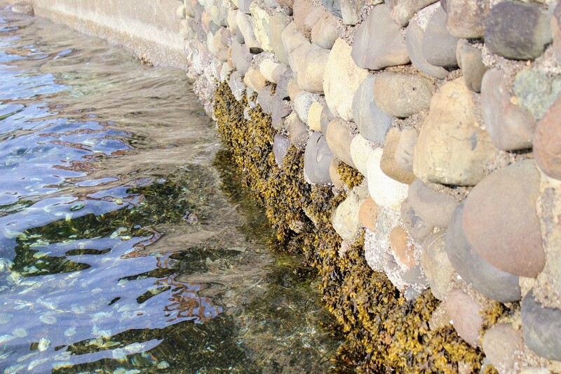
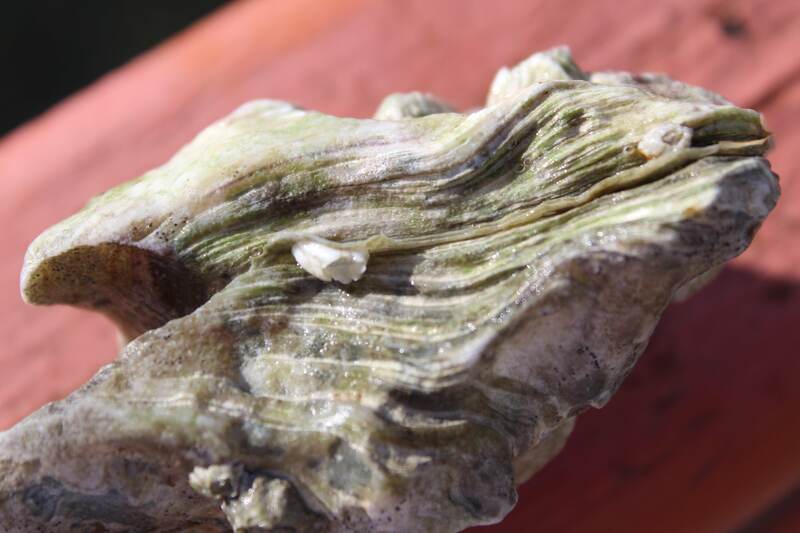
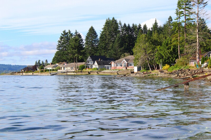
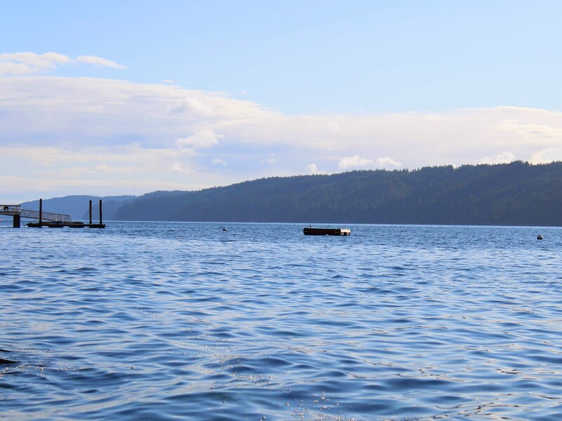
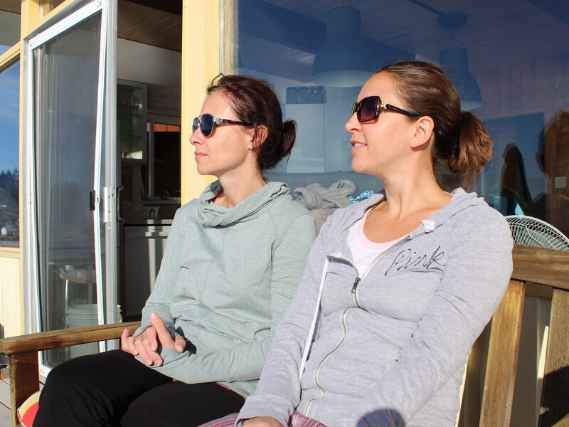
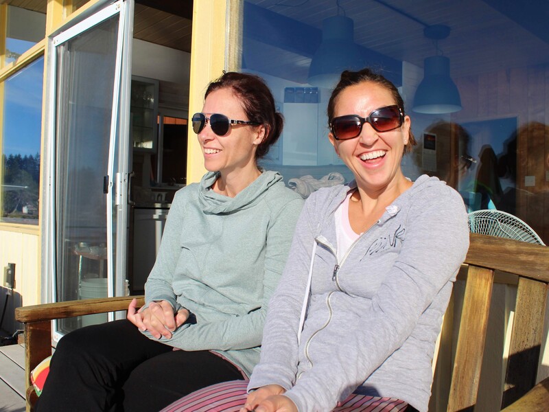
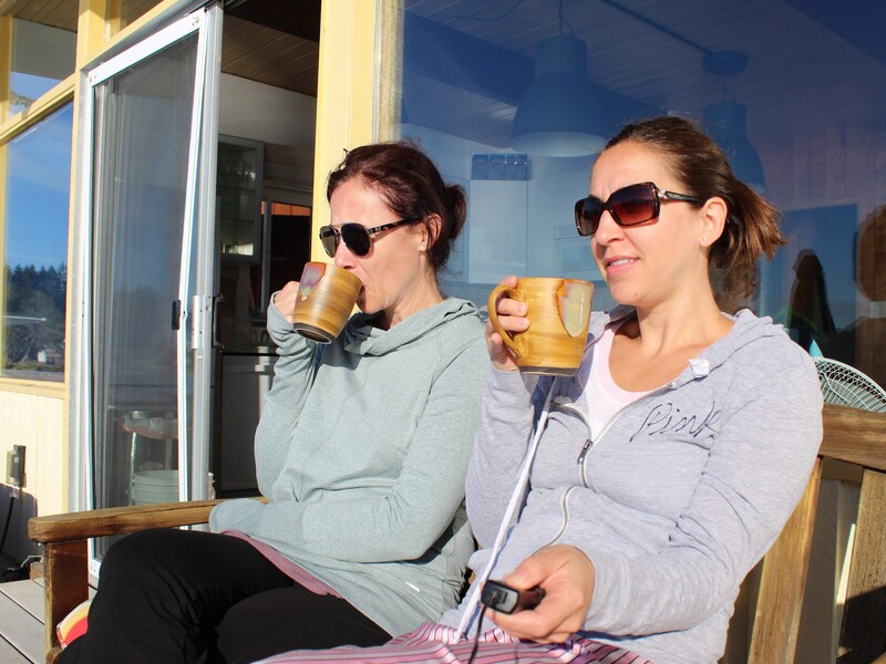
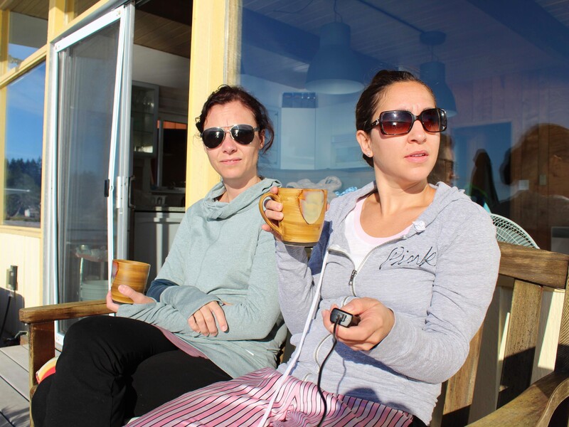
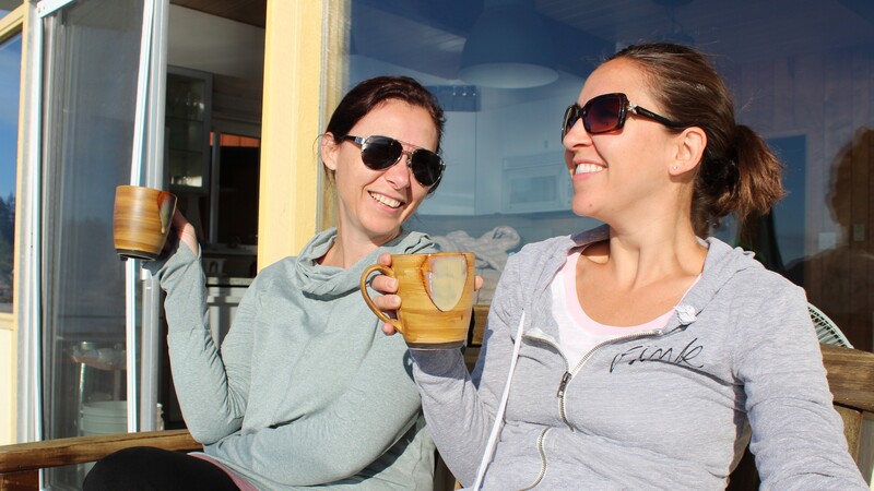
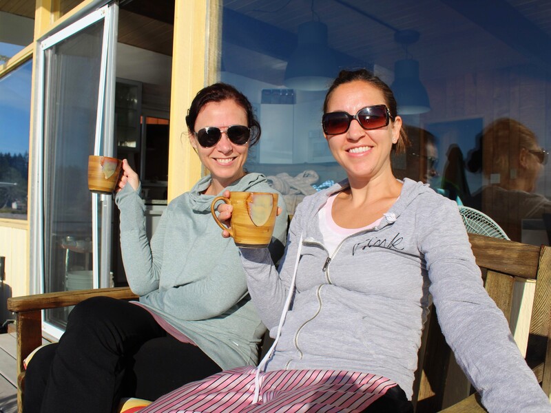
When we woke up, it was a beautiful morning. We decided to enjoy our coffee and a little sun on this cool and sunny morning before packing up and heading out. There were oysters everywhere here. My husband and youngest child would have loved it here! We also took this opportunity to play with the flexible tripod and camera remote on Lorna's camera. After a little trial and error, and a lot of laughter.... we finally got a good picture. Then, we packed up, made breakfast for the road, and headed to Cape Horn.
Click on each picture below to enlarge the picture and view the whole photo.
Stop 1
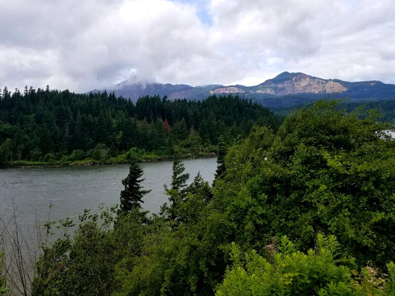
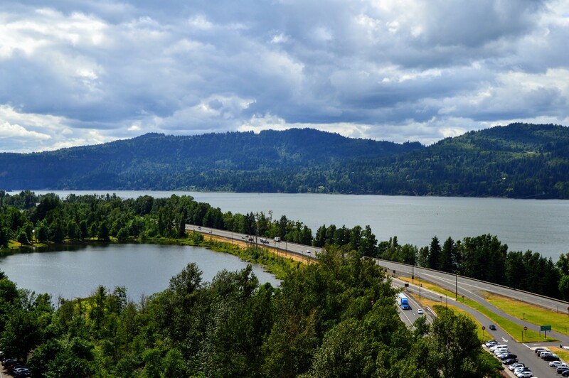
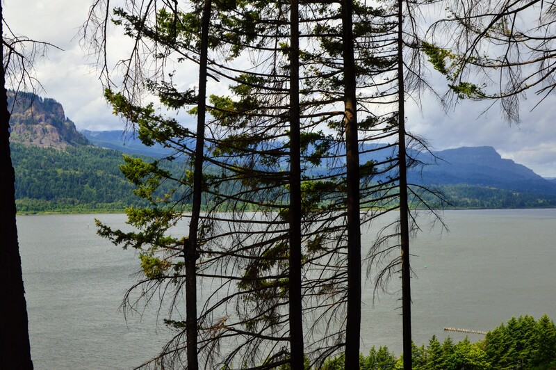
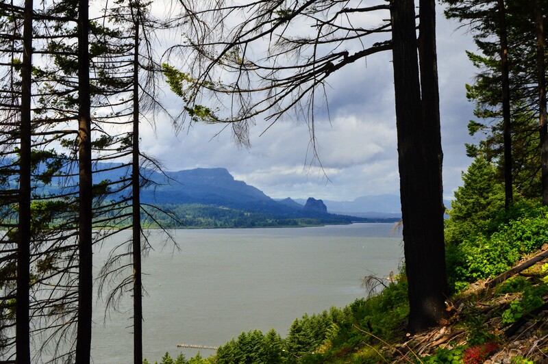
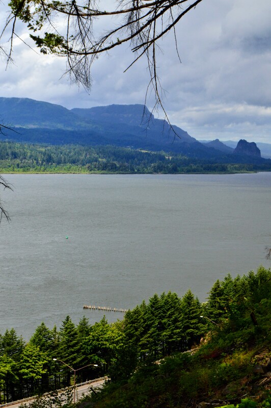
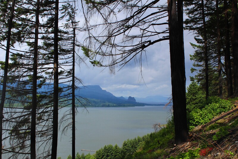
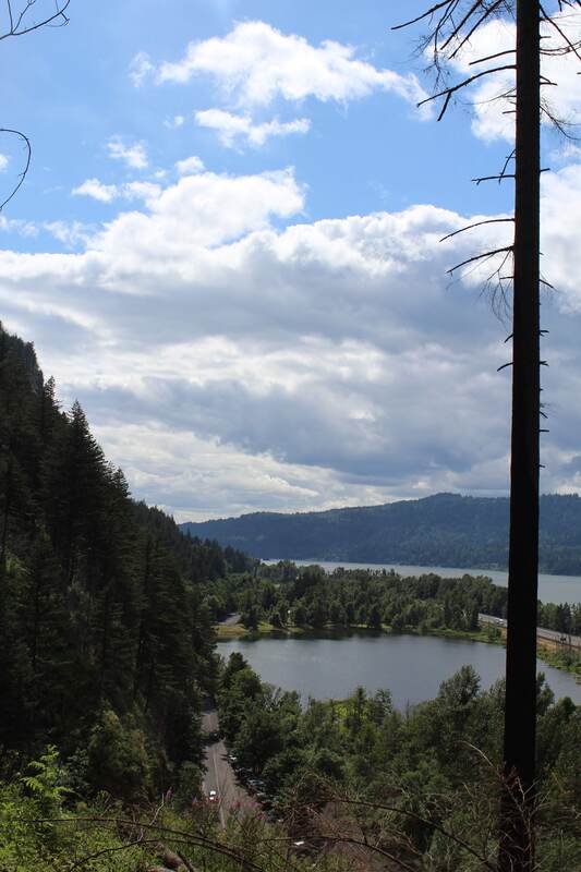
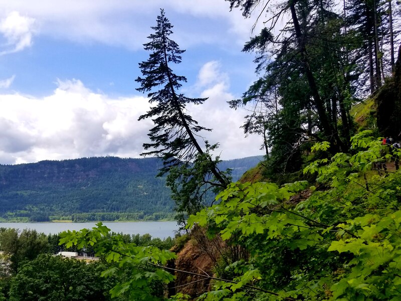
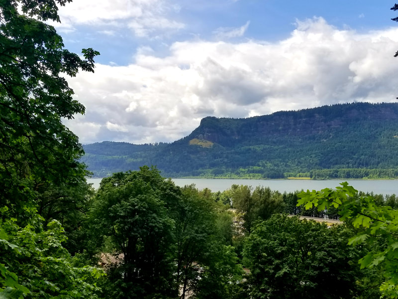
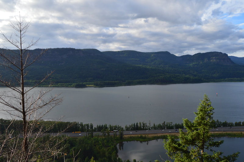
CAPE HORN AND THE BONNEVILLE DAM
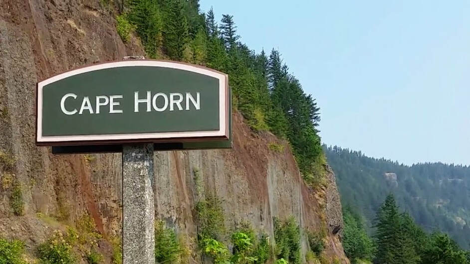
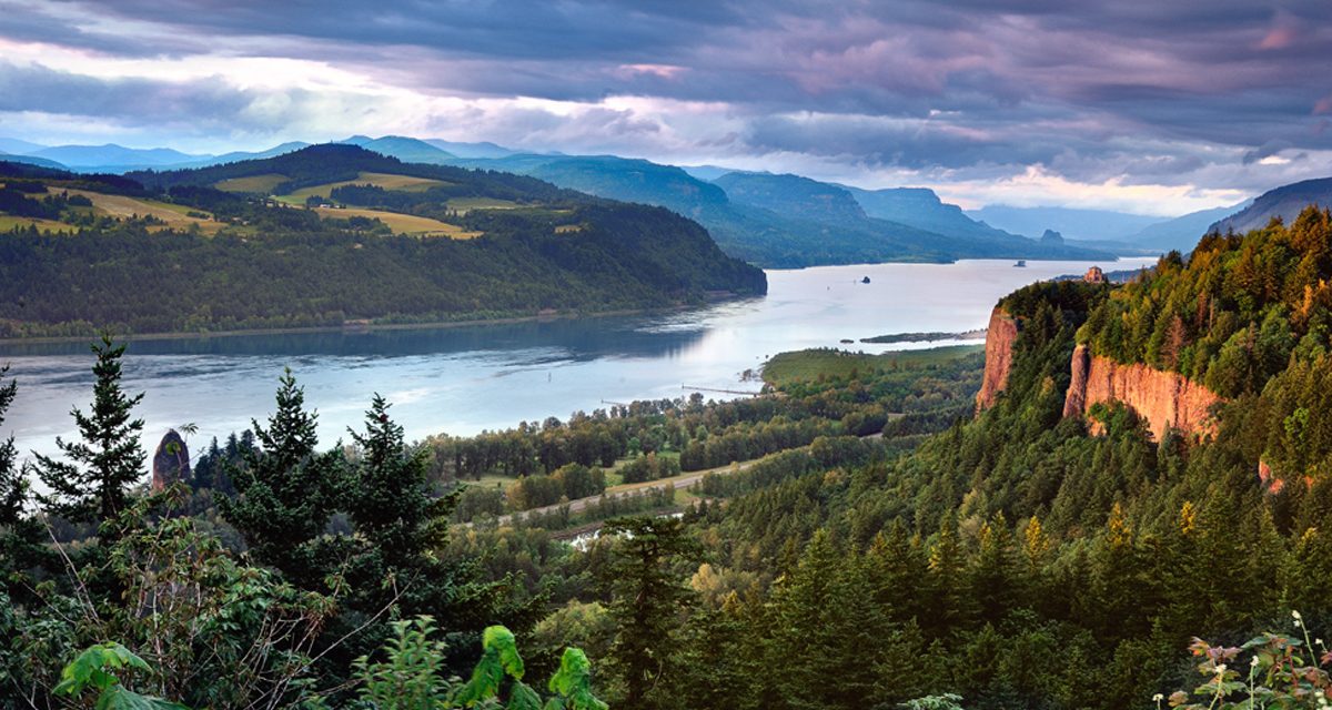
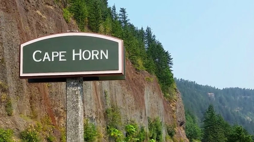
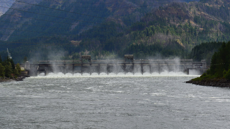
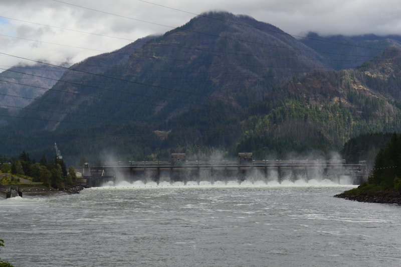
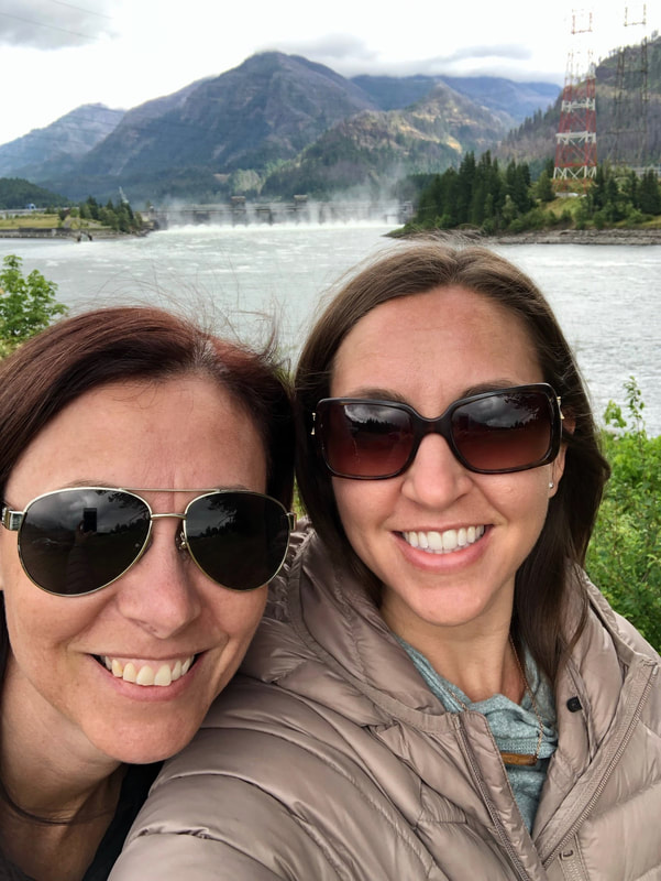
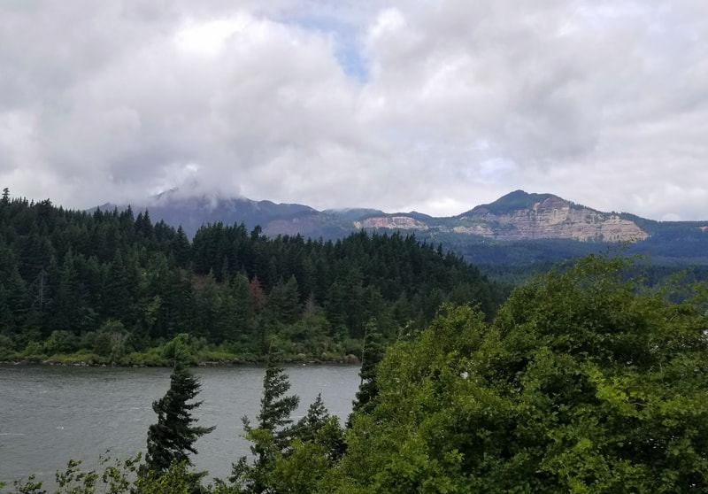
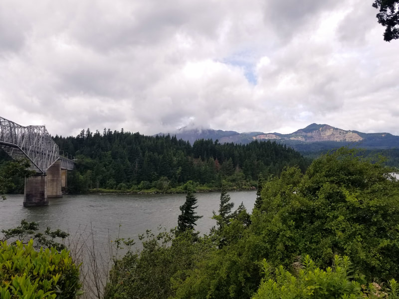
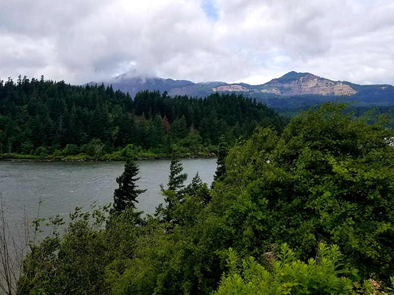
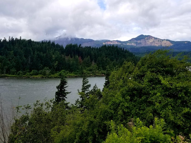
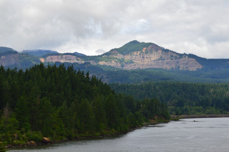
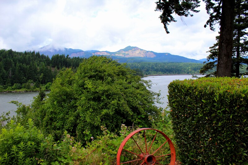
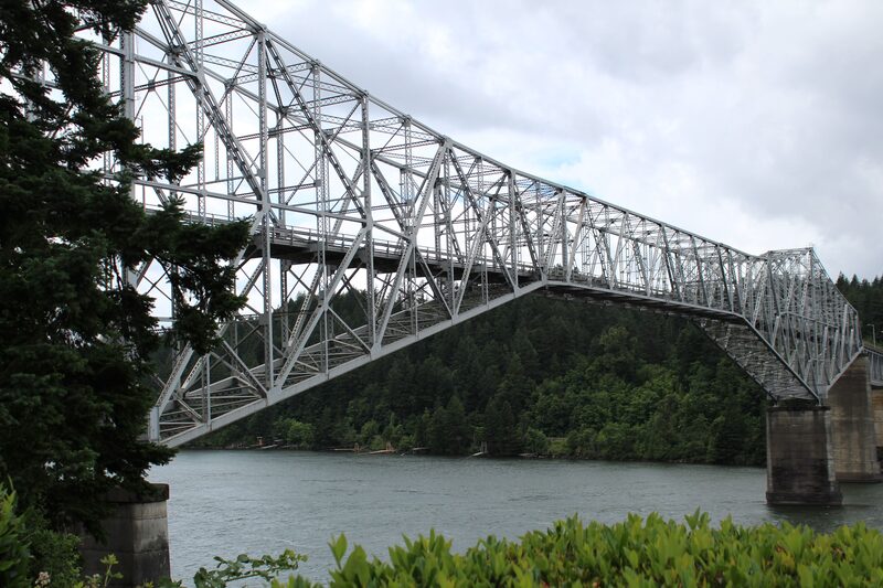
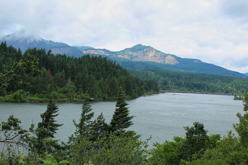
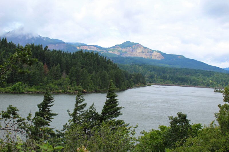
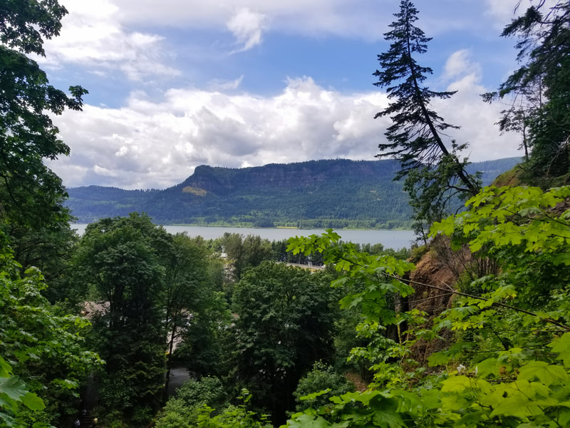
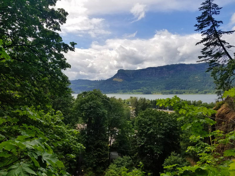
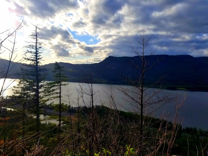
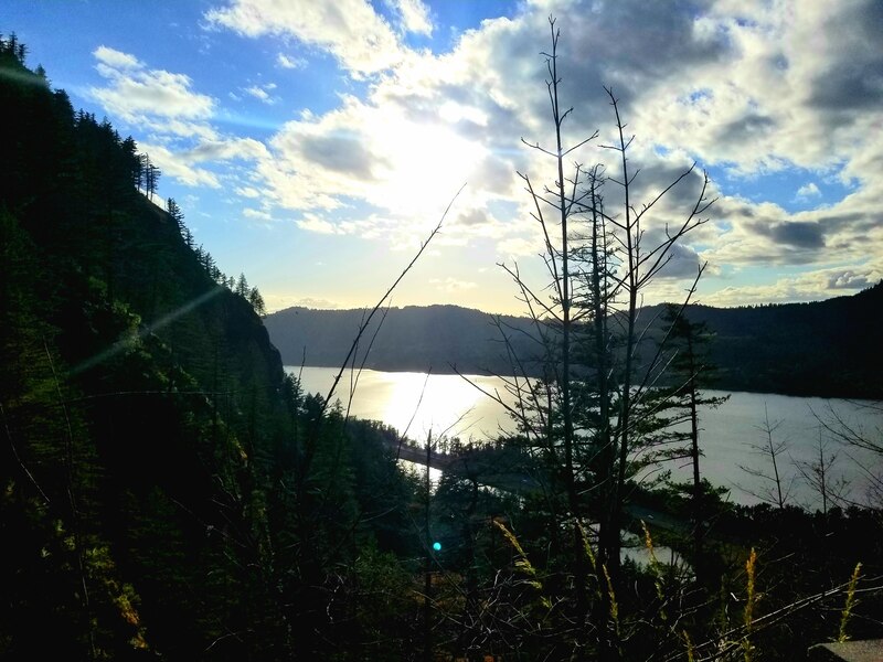
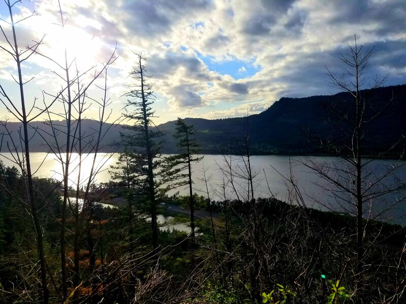
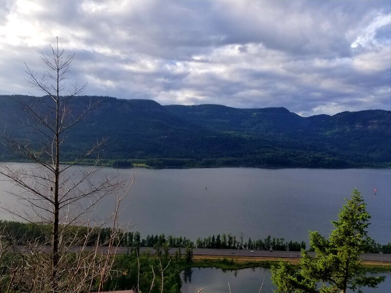
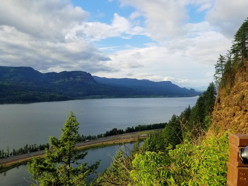
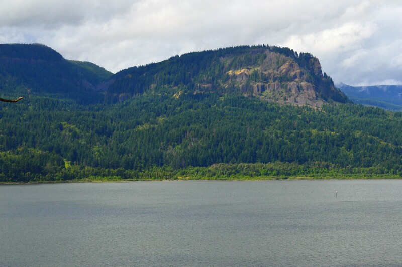
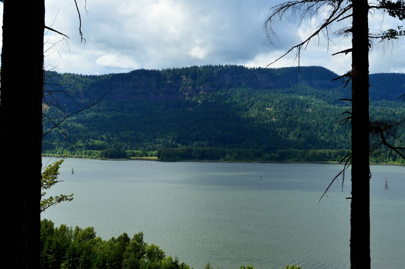
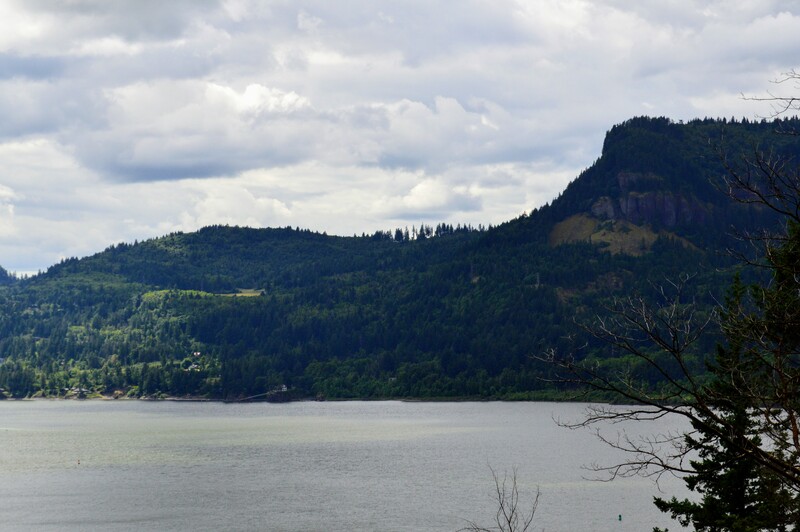
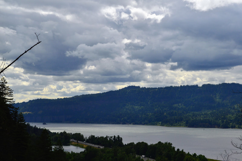
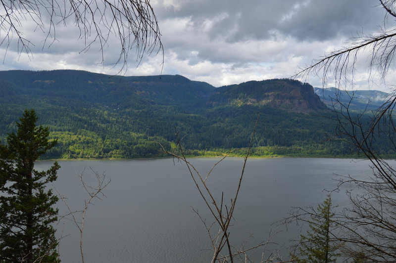
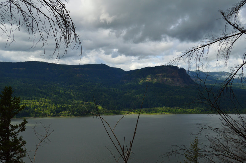
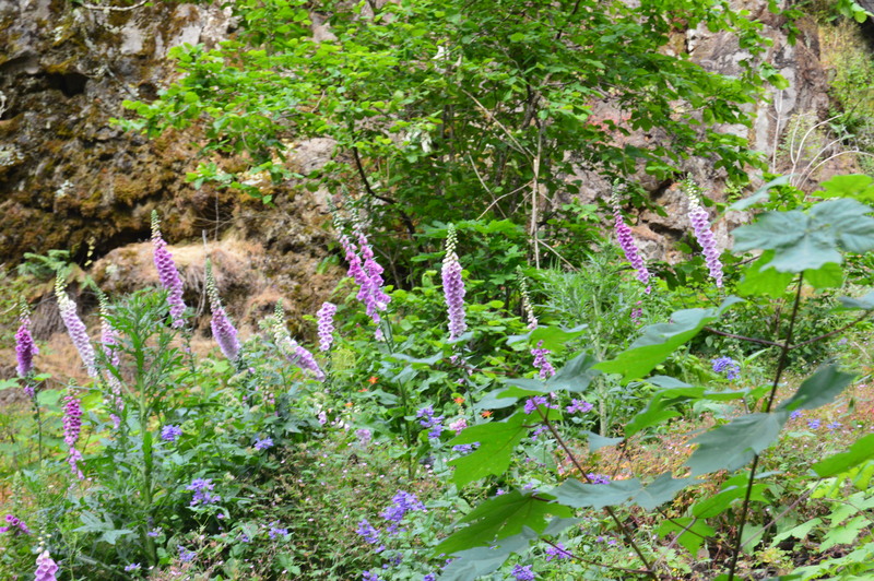
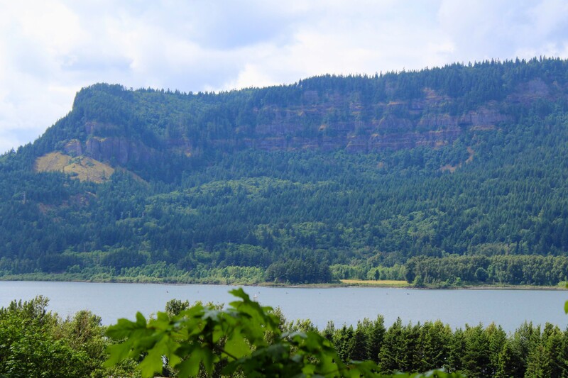
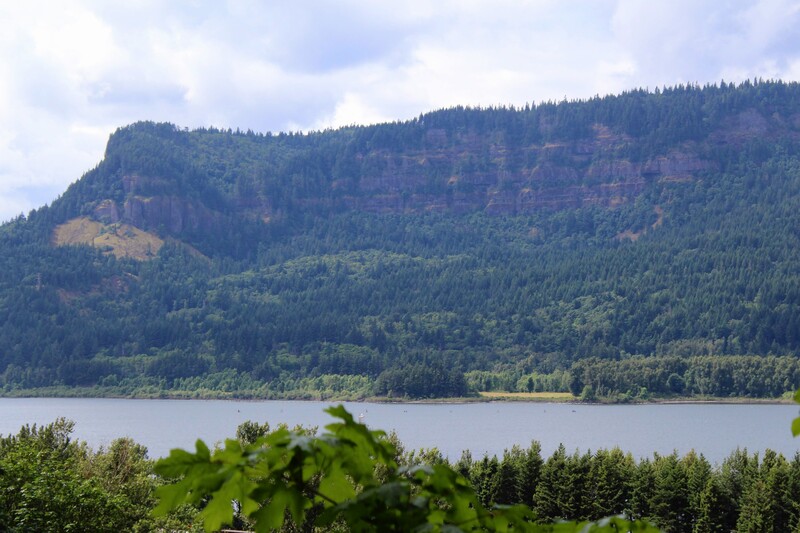
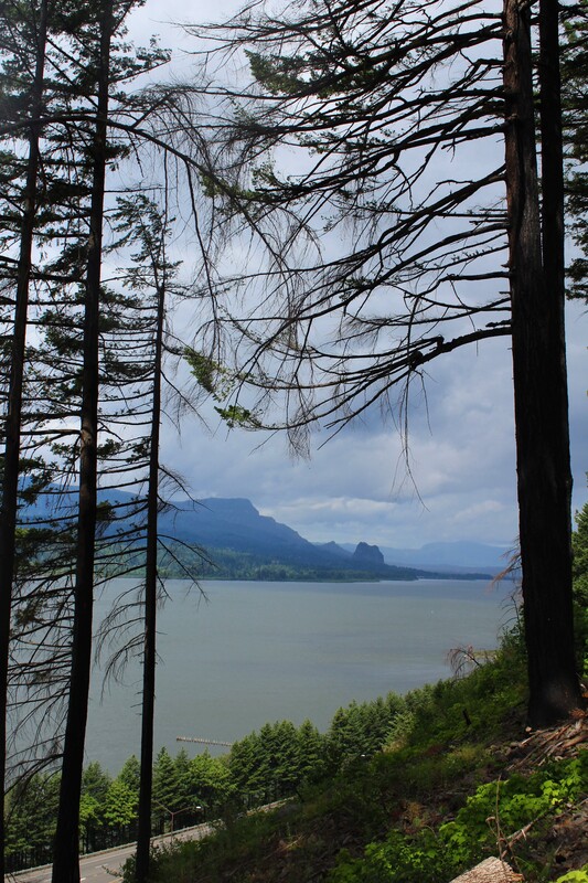
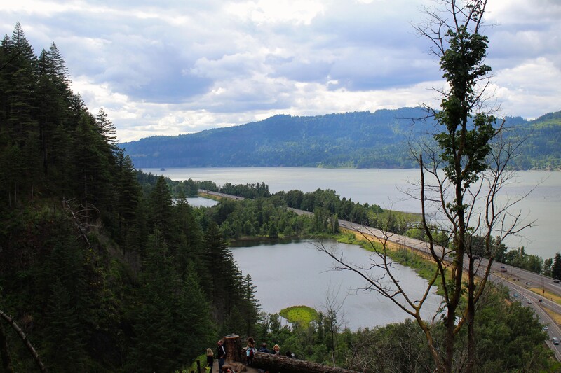
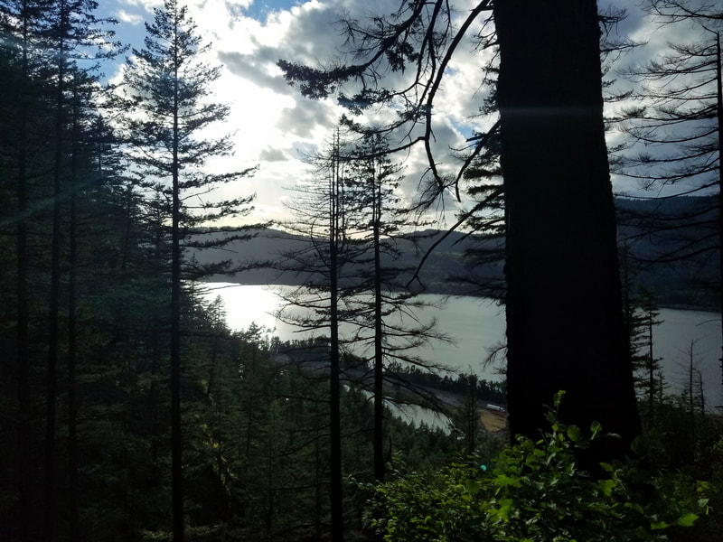
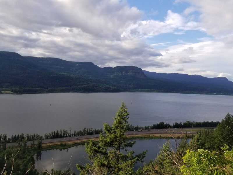
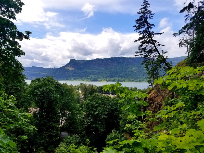
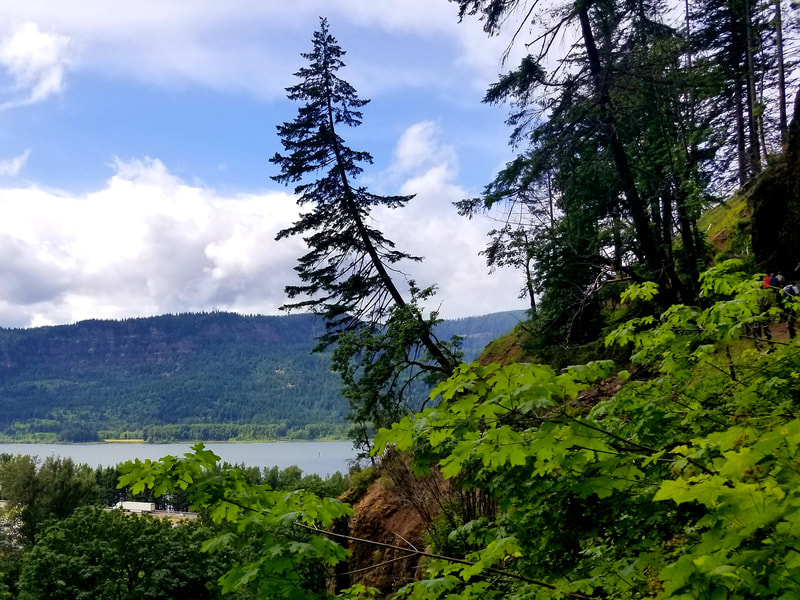
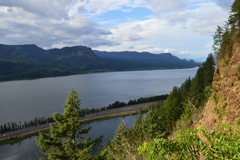
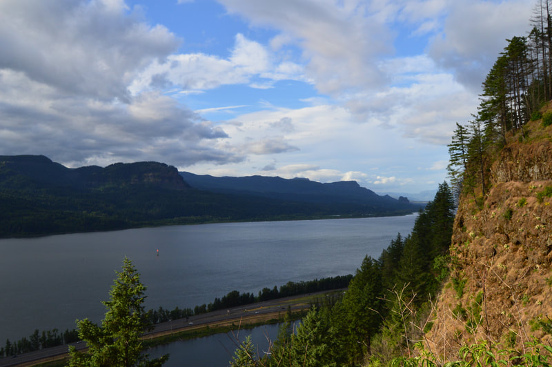
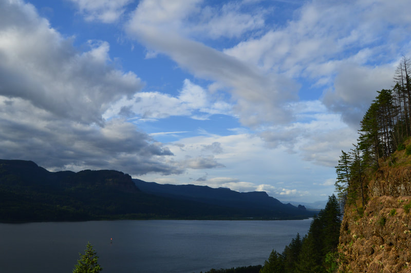
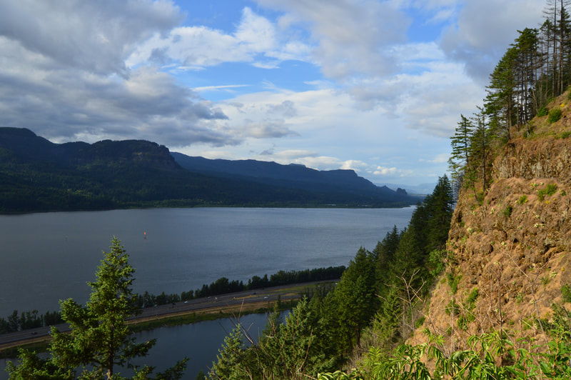
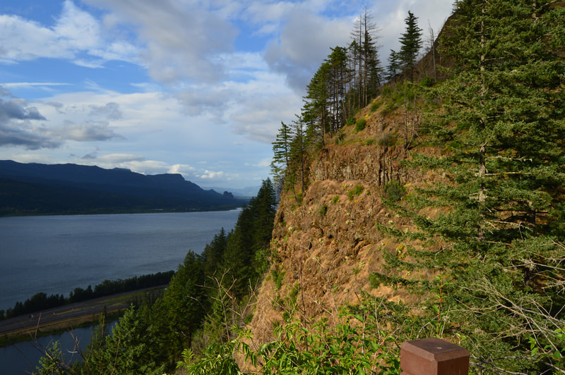
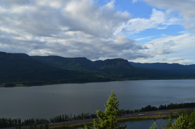
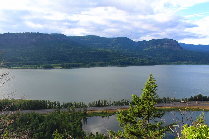
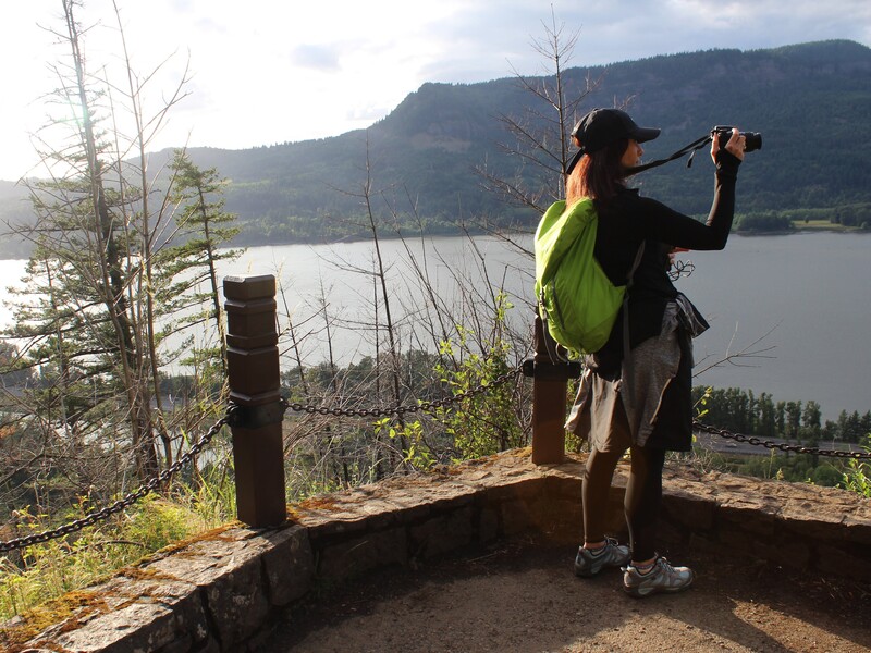
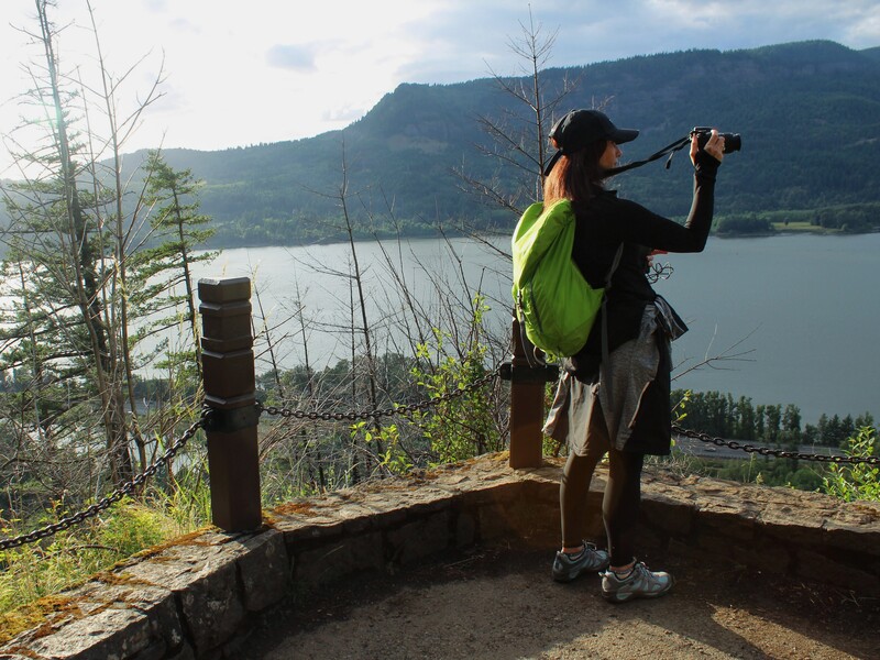
As we drove to the Cape Horn Lookout, it began to rain. I love the rain here. We never experienced heavy or continuous down pours of rain. It was usually light to moderate for short periods of time. Just like in Hoh, after a rain, the colors in this area seemed to pop as well. Everything seemed brighter and more vivid. The only downside to the rain, is that when there is no tree cover, you can get soaked. When we got to Cape Horn, we had to drive a little further down until the rain lightened up to stop and take pictures. By the time we got to the Bonneville Dam, it had stopped raining. We were able to put the top down on the convertible before crossing the Bridge of the Gods.
Click on each picture below to enlarge the picture and view the whole photo.
Stop 2
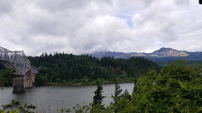
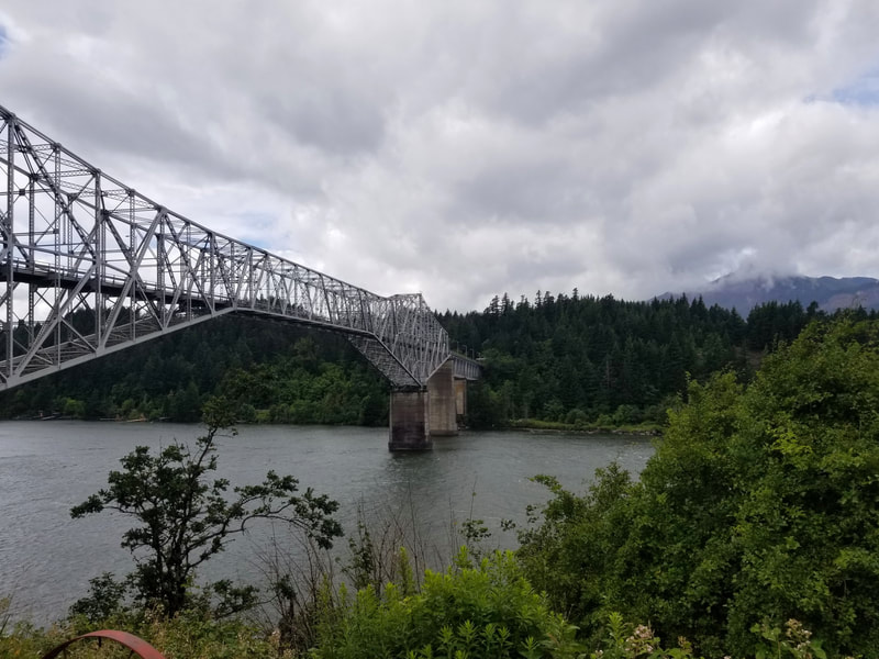
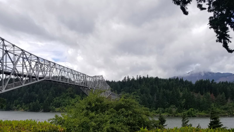
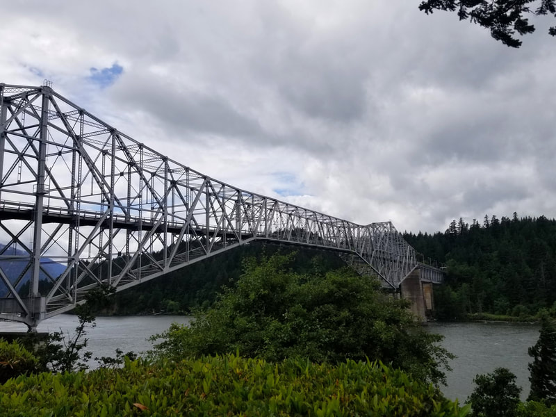
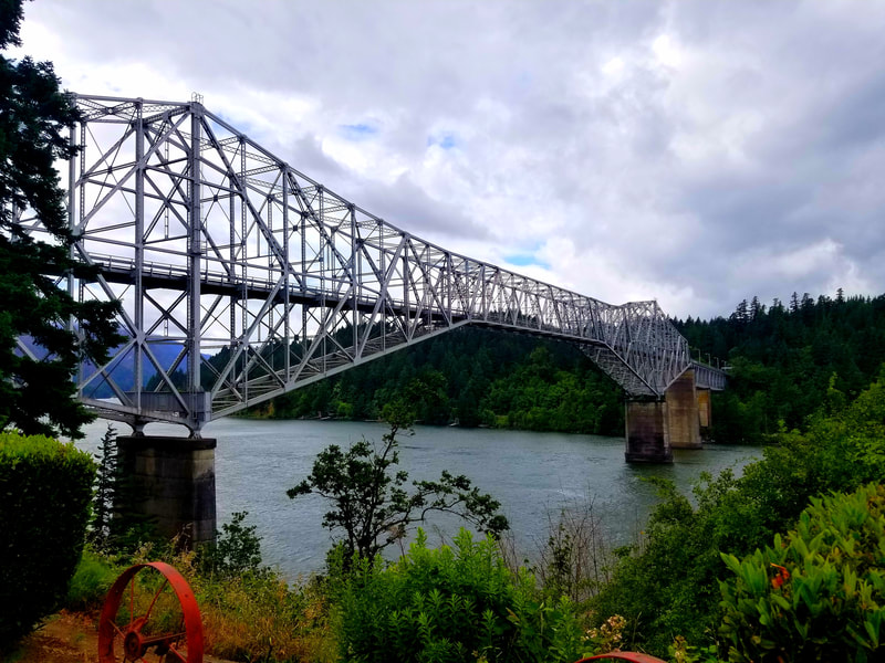
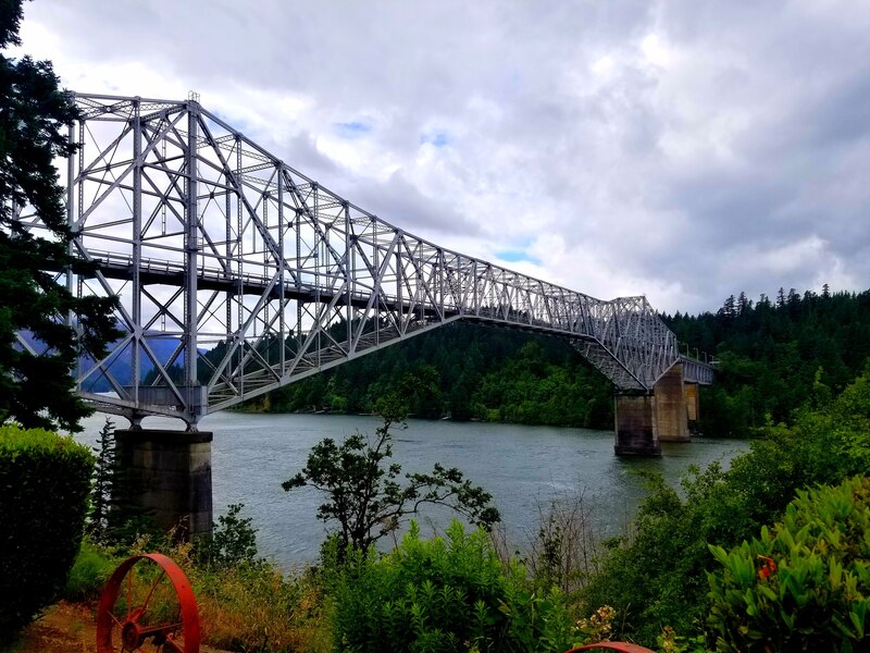
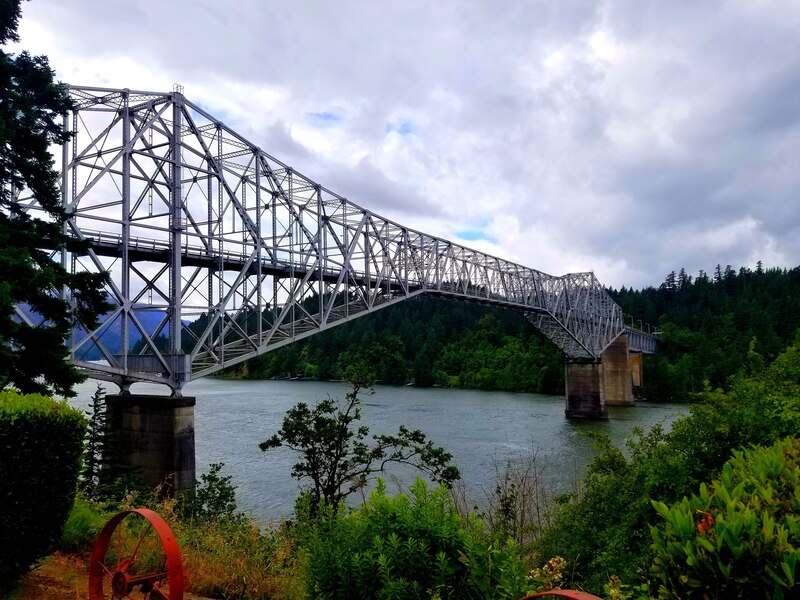
THE BRIDGE OF THE GODS & BRIDGESIDE RESTAURANT
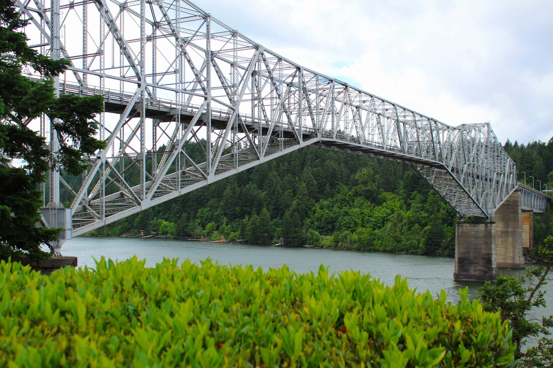
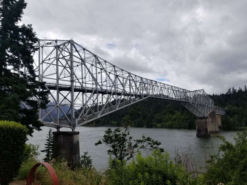
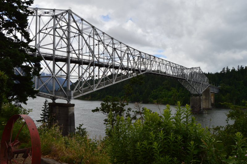
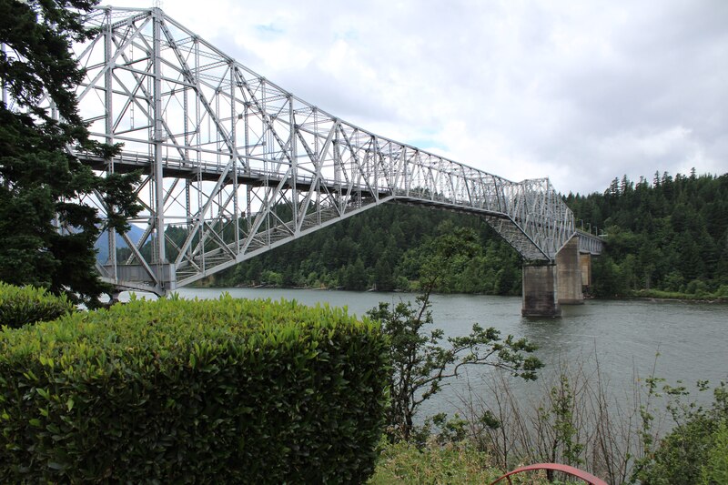
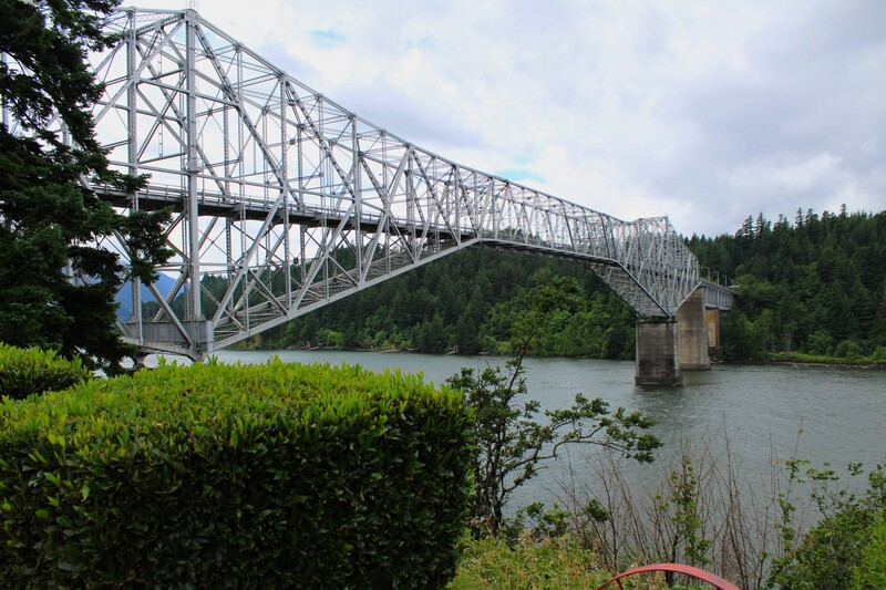
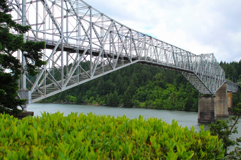
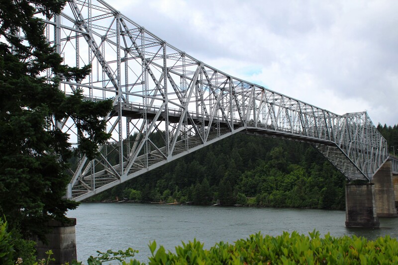
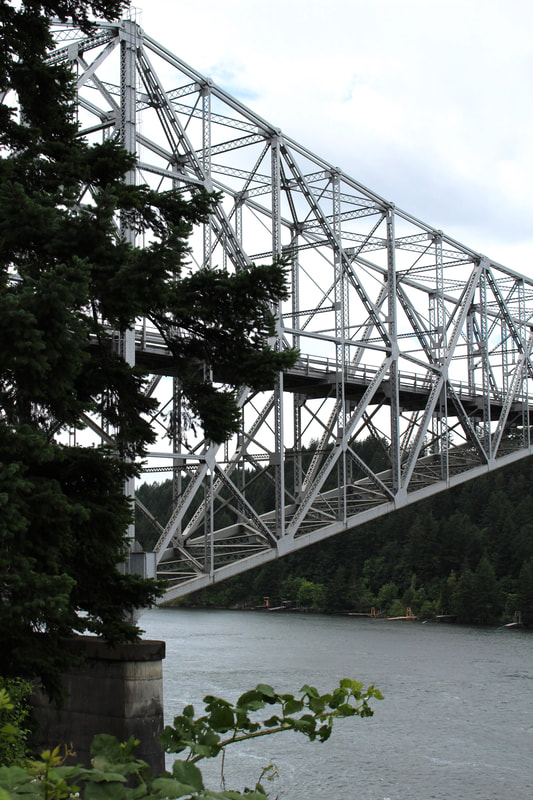
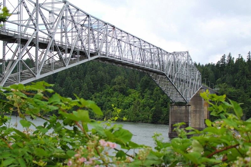
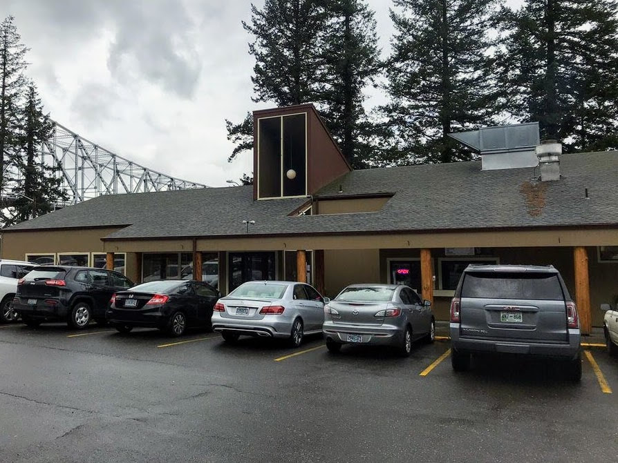
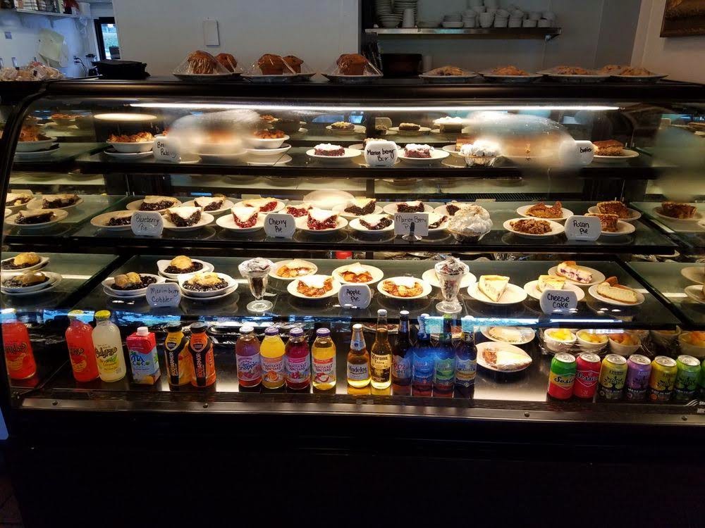
I was excited the get to cross the Bridge of the Gods that crosses over the Columbia River and is the crossover from Washington to Oregon. The Bridge of the Gods has an interesting history or backstory. If you are interested in reading about it, click on this link: Bridge of the Gods History. The Bridge of the Gods is part of the Pacific Crest Trail, which is commonly called the PCT. The Bridge got a lot of notoriety after the movie, Wild. Wild is the true story of Cheryl Strayed's emotional and physical journey hiking the PCT. Her journey ended at the Bridge of the Gods. After crossing the Bridge of the Gods, it was already lunchtime and we were really hungry. We stopped at the Bridgeside Restaurant in Cascade Locks on the Oregon side of the bridge. The food was delicious and we shopped for souvenirs for our families in the Gift Shop. I am bummed that I didn't think to take more pictures while we were inside the restaurant. It really was a cute little place to stop for lunch.
Click on each picture below to enlarge the picture and view the whole photo.
Stop 3
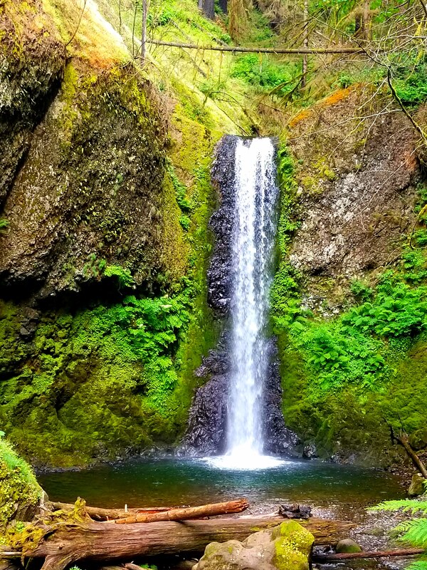
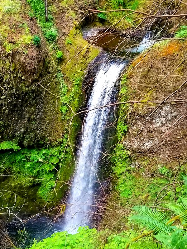
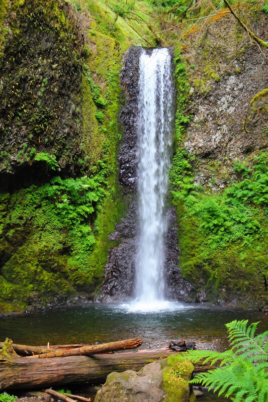
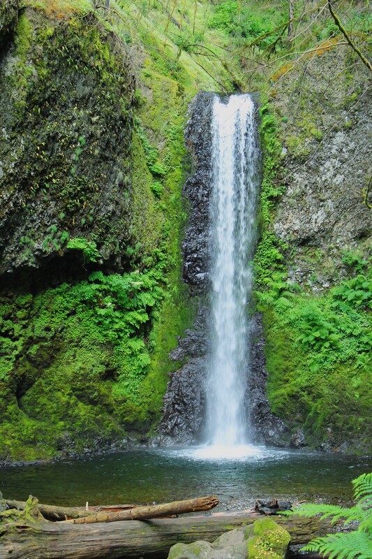
HORSETAIL FALLS
The trail to Punchbowl Fall begins at Eagle Creek and was closed because of damage from the 2017 Eagle Creek Fire. We learned that the fire was caused by a teenage boy who had been careless with fireworks. The fire burned over 50,000 acres in the area and took almost 3 months before it was contained. We didn't get to see Punchbowl Falls, so we pressed on to Horsetail Falls.
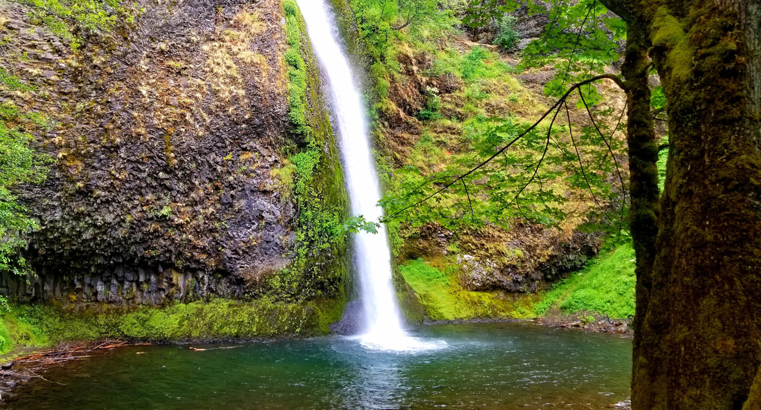
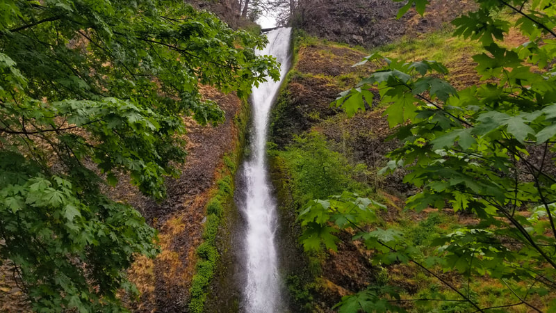
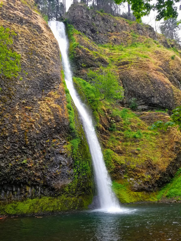
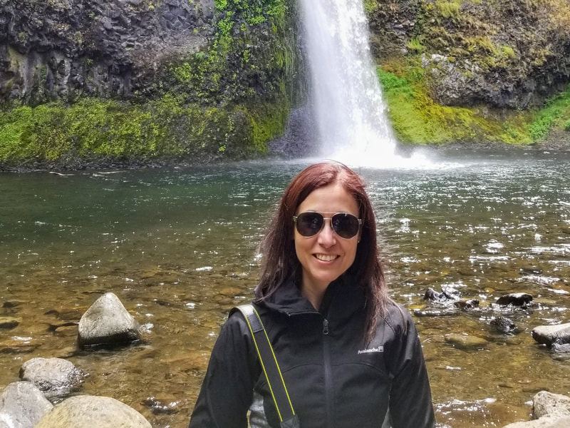
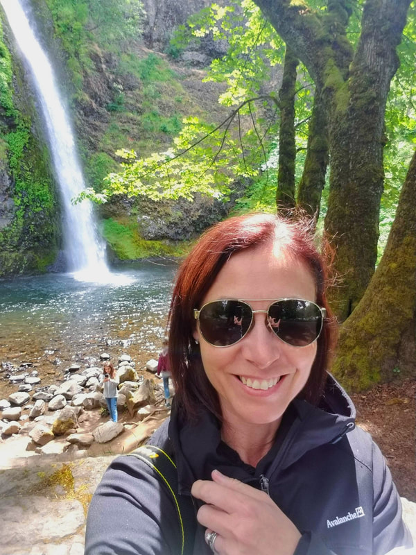
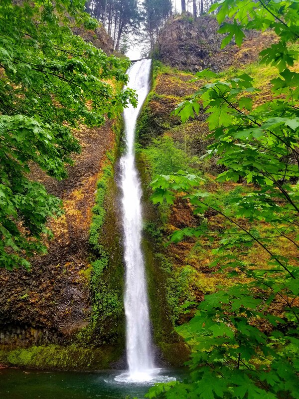
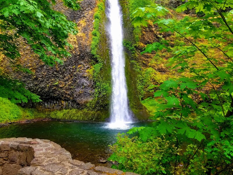
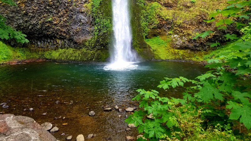
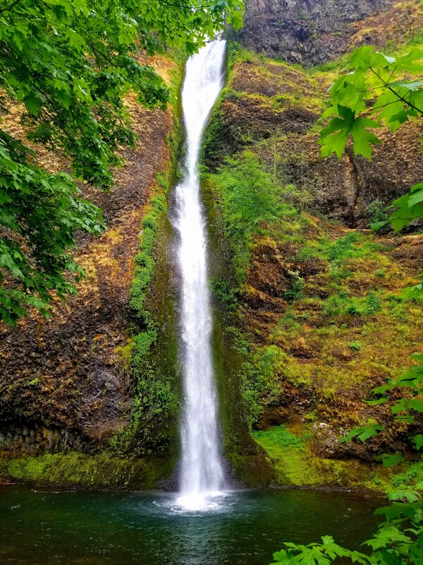
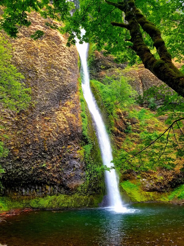
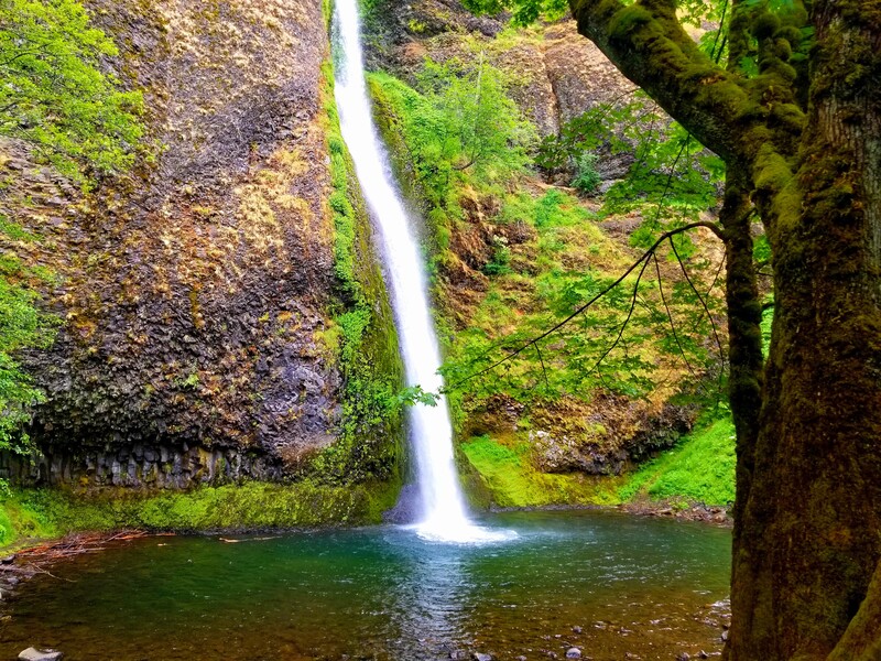
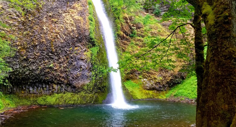
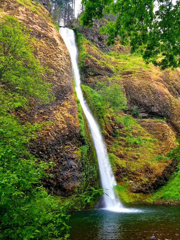
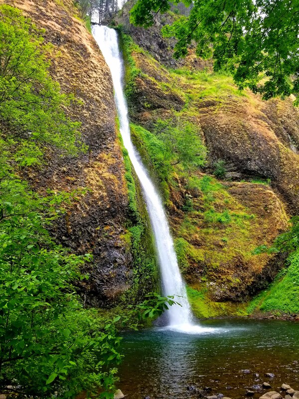
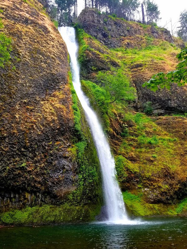
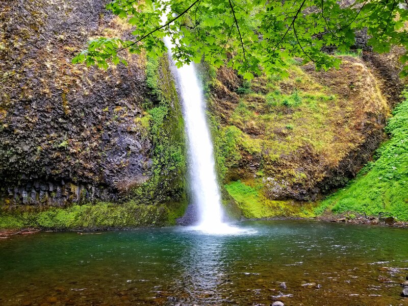
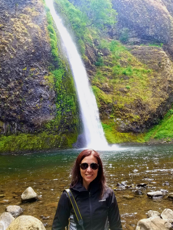
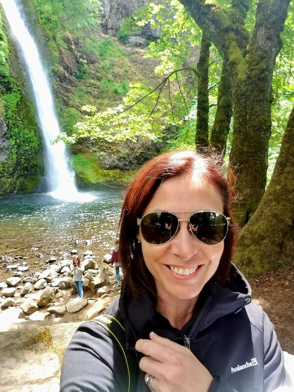
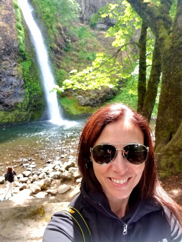
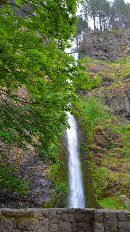
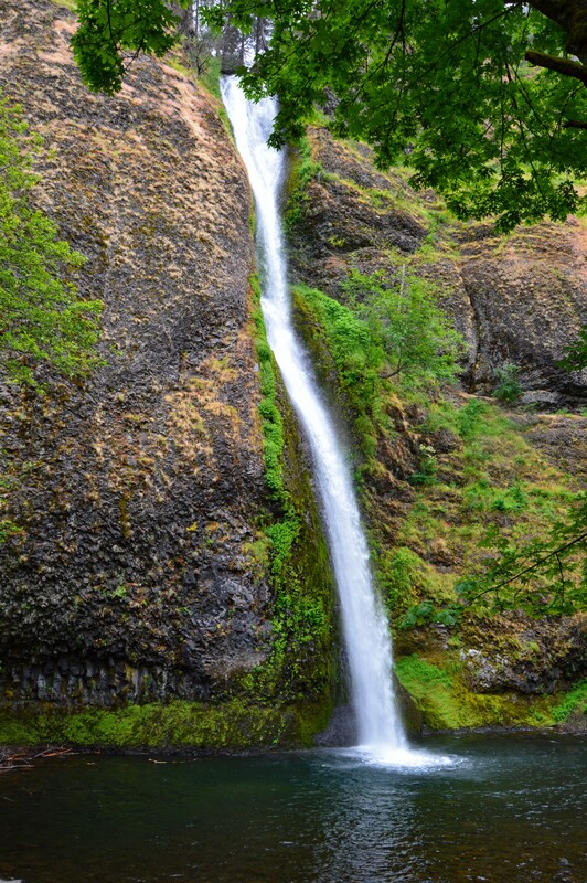
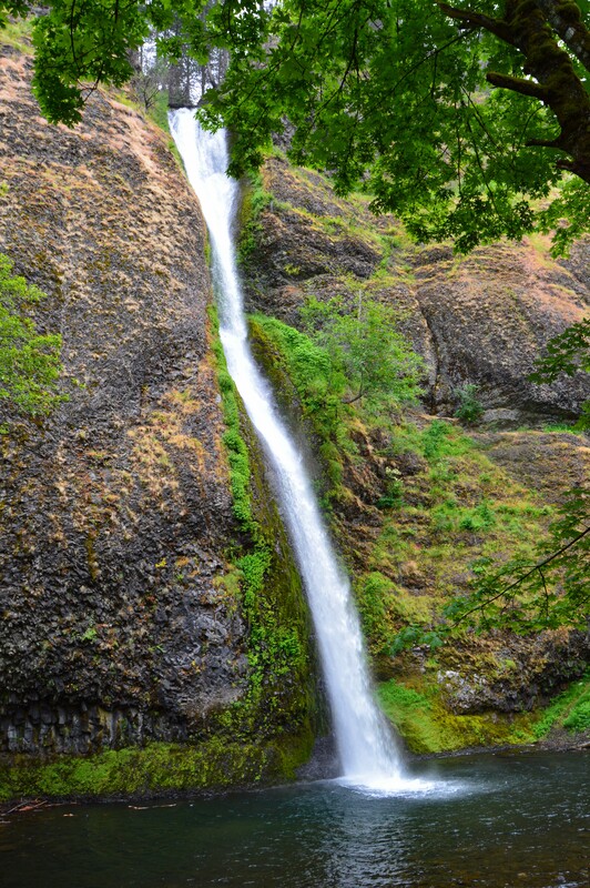
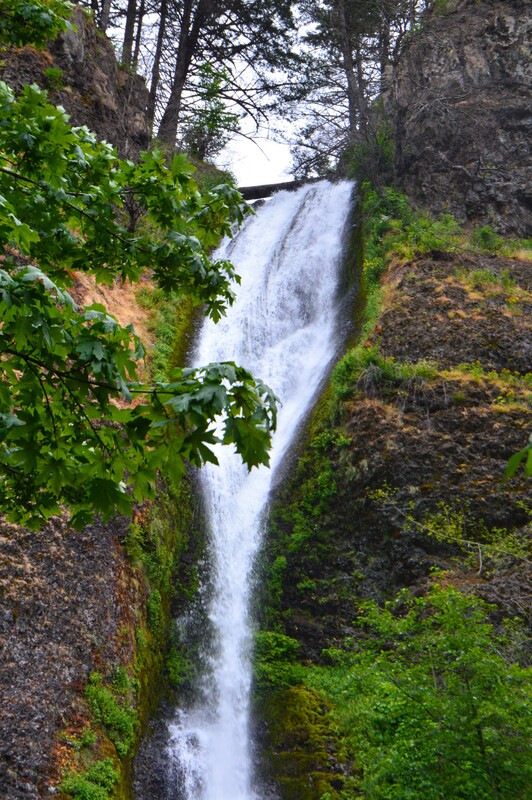
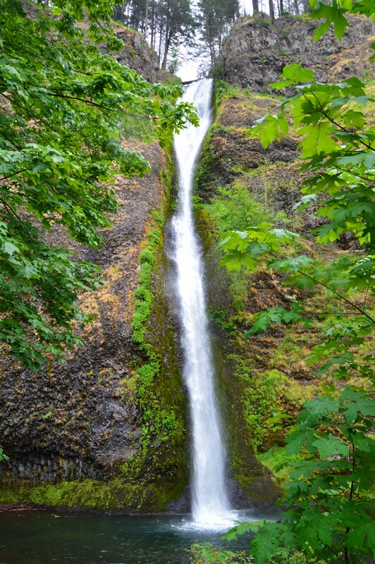
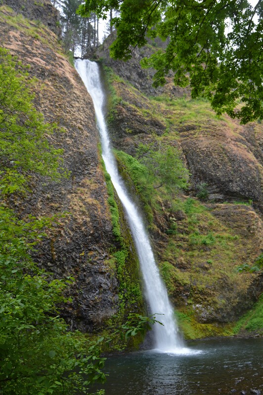
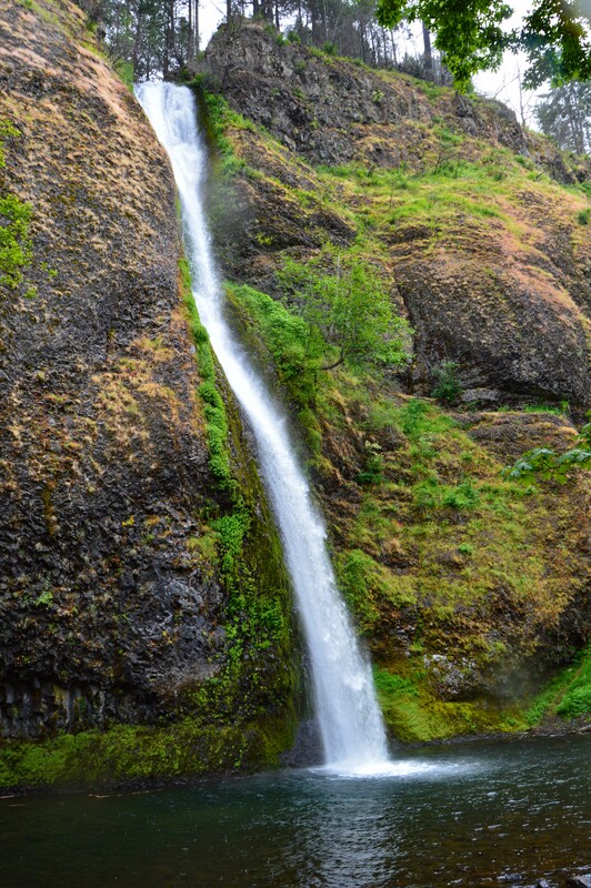
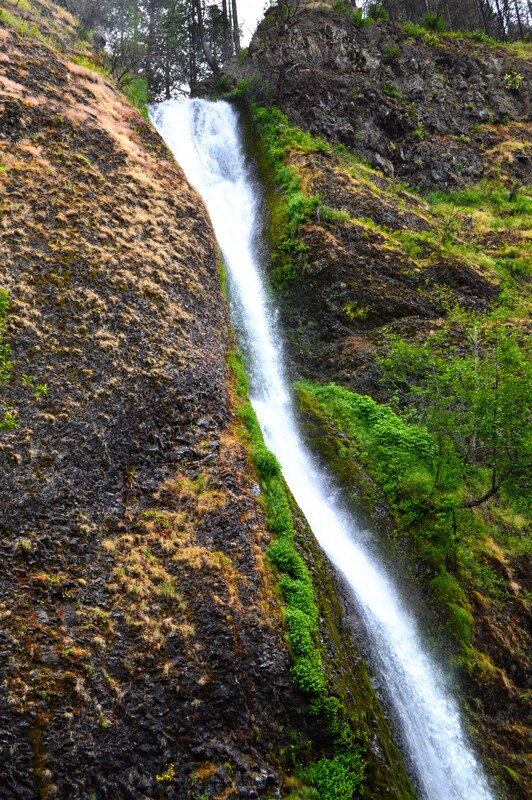
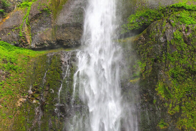
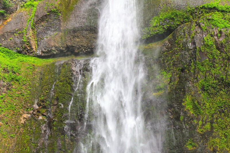
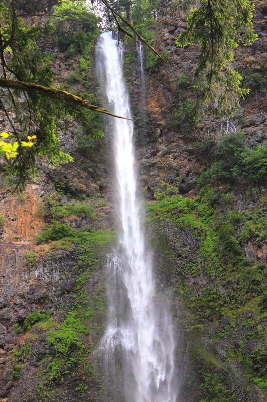
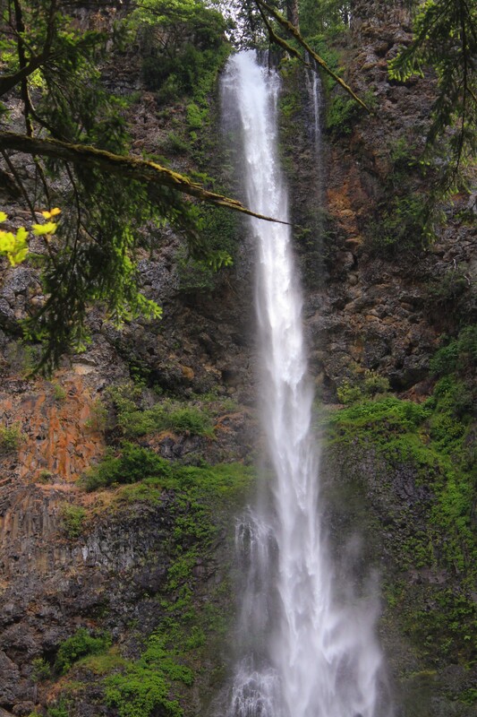
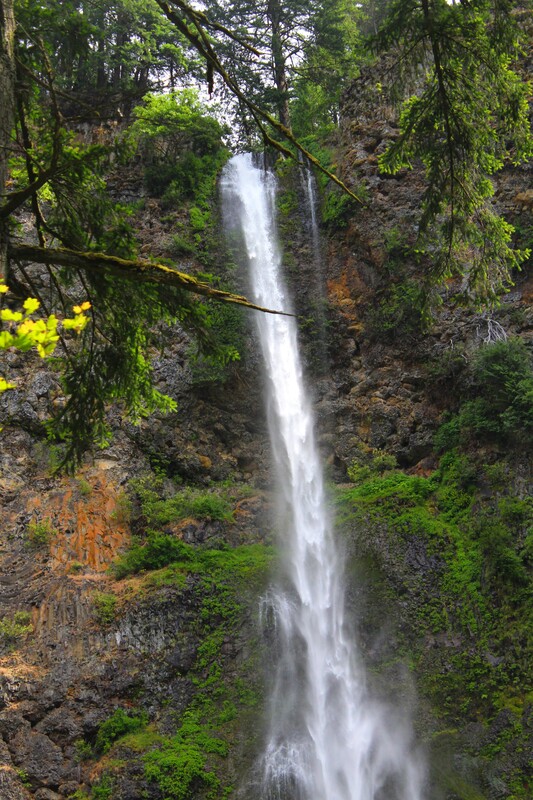
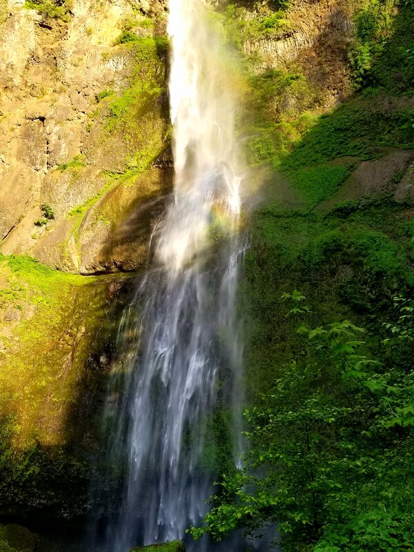
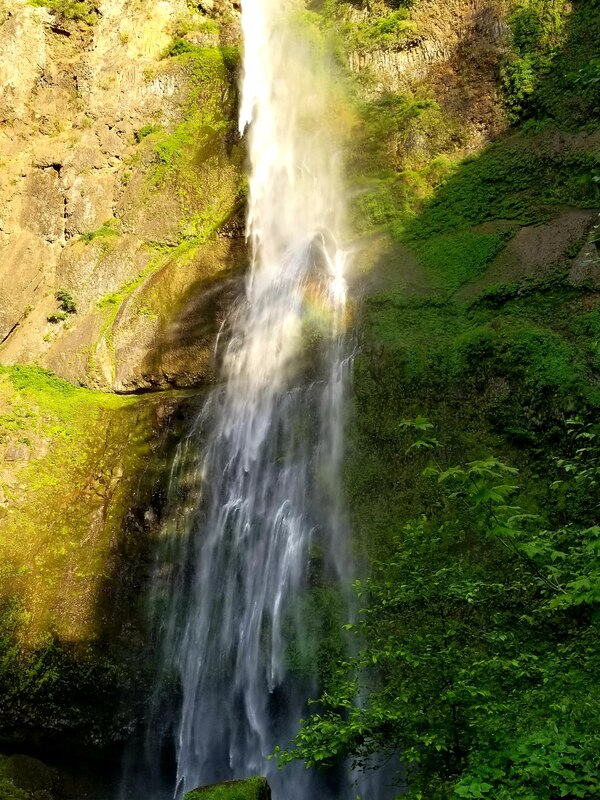
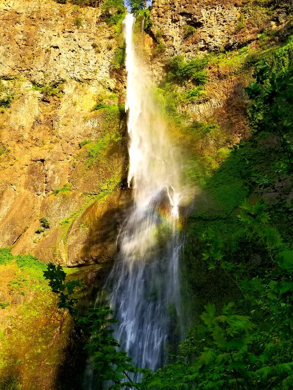
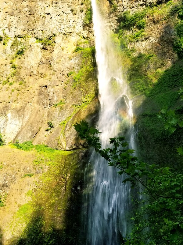
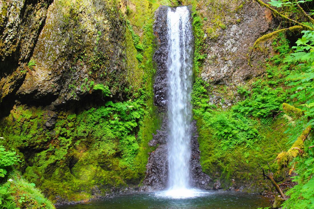
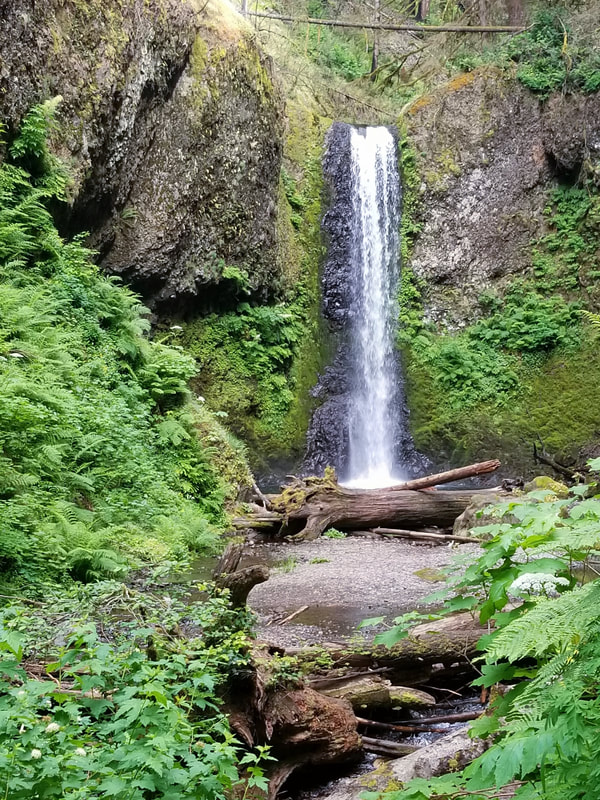
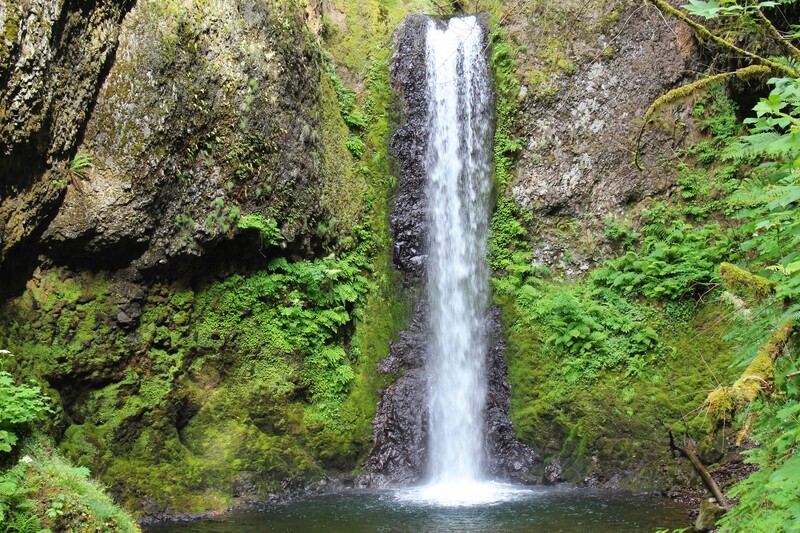
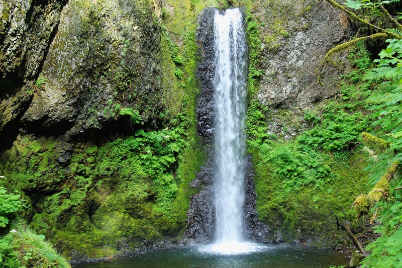
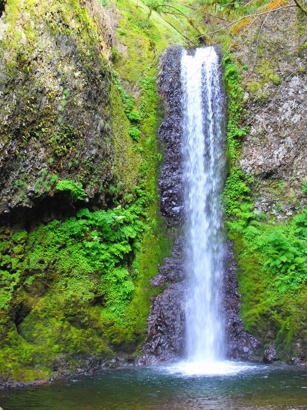
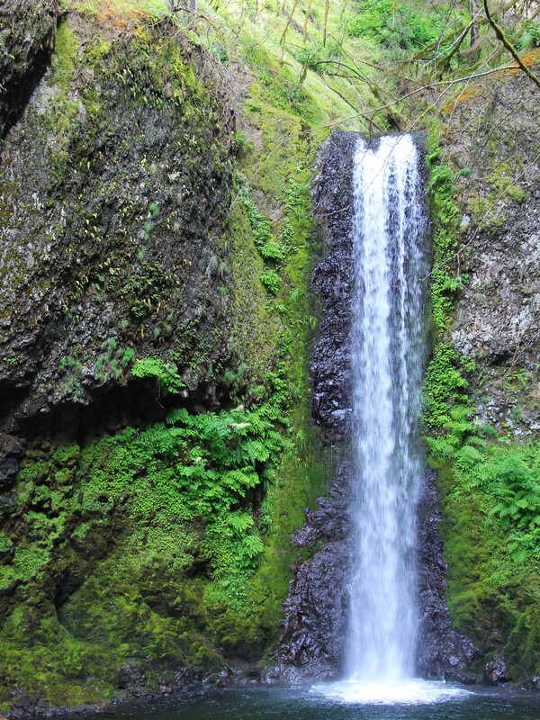
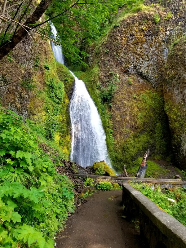
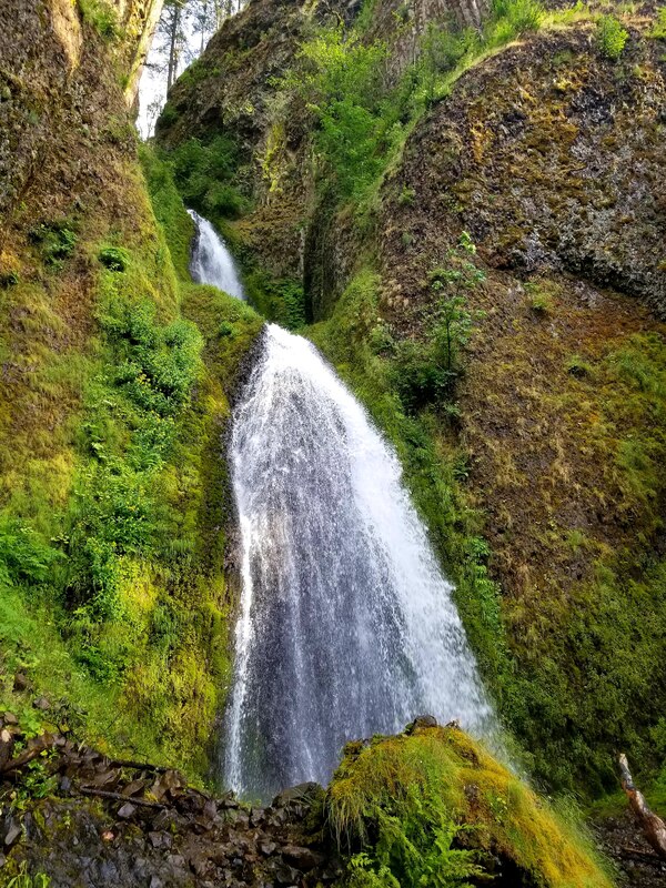
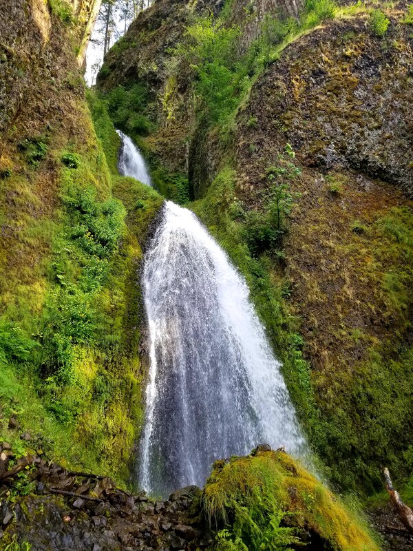
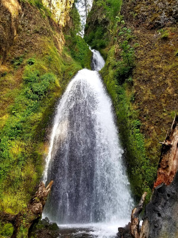
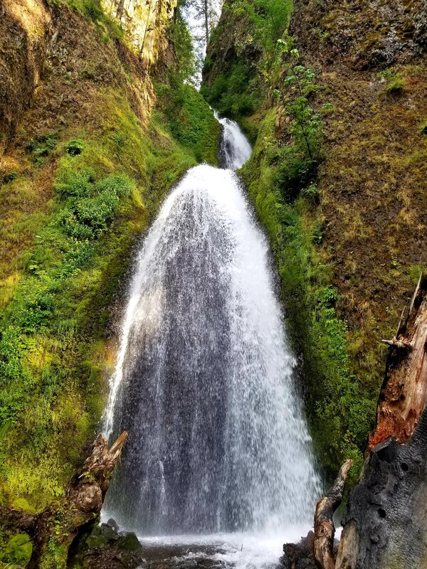
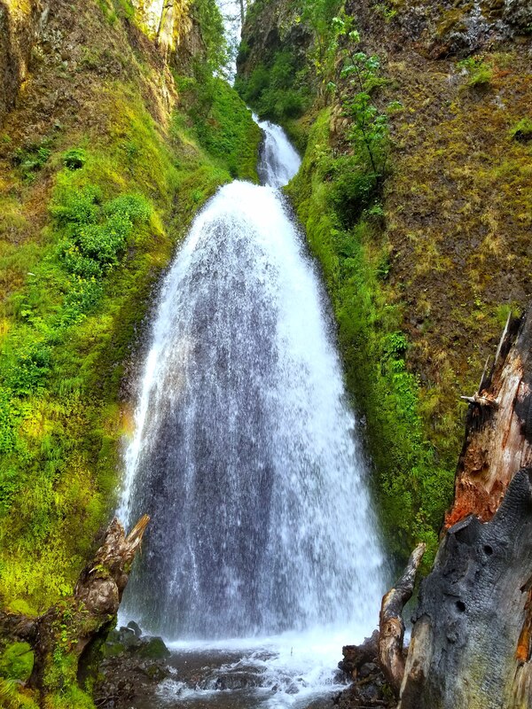
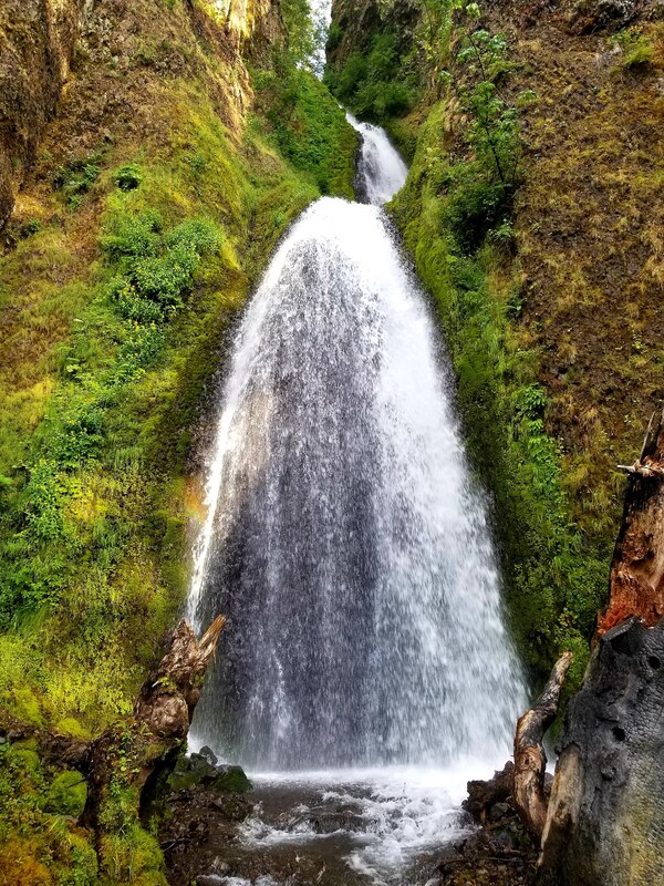
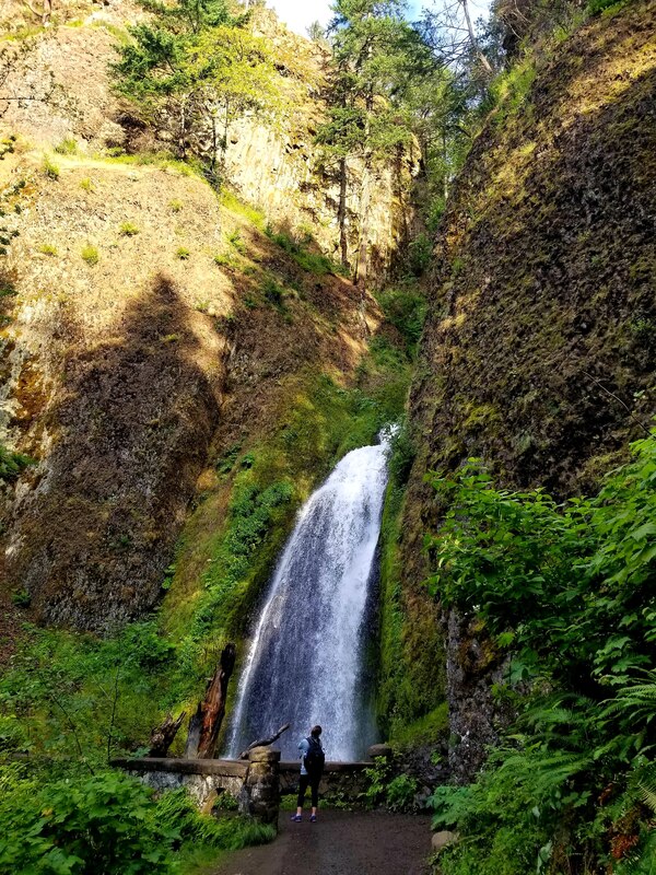
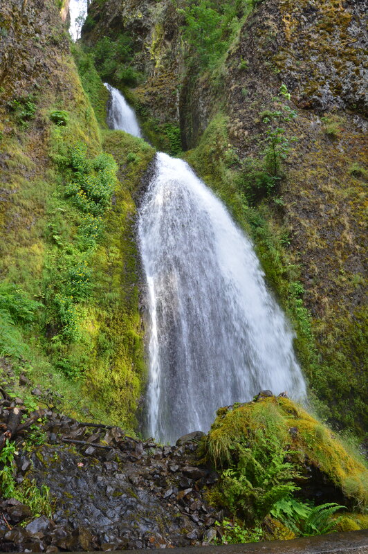
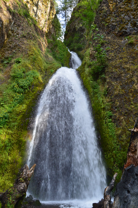
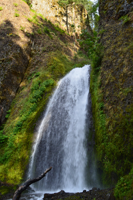
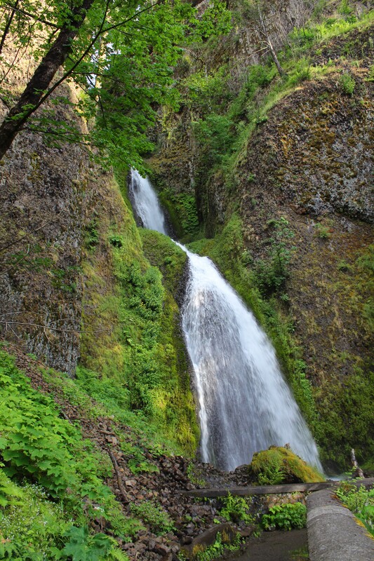
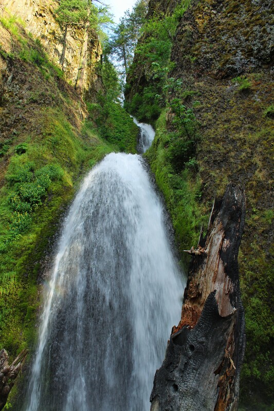
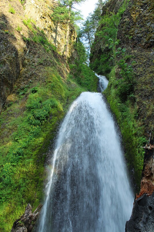
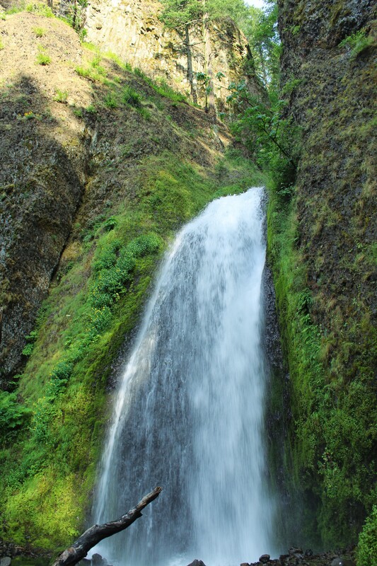
Horsetail Falls took us by surprise. You are literally driving along the road, and boom! It is there on the side of the road. When I saw it, I could not imagine any of the waterfalls being as beautiful as this one. The trail up to the top of the falls and down to Ponytail Falls was closed, but we felt extremely blessed to see this beauty from the bottom. Horsetail falls was roughly 176 tall and flowed down in a relatively straight path into a blue-green pool.
Click on each picture below to enlarge the picture and view the whole photo.
Stop 4
THE MULTNOMAH FALLS TO WAHKEENA FALLS LOOP
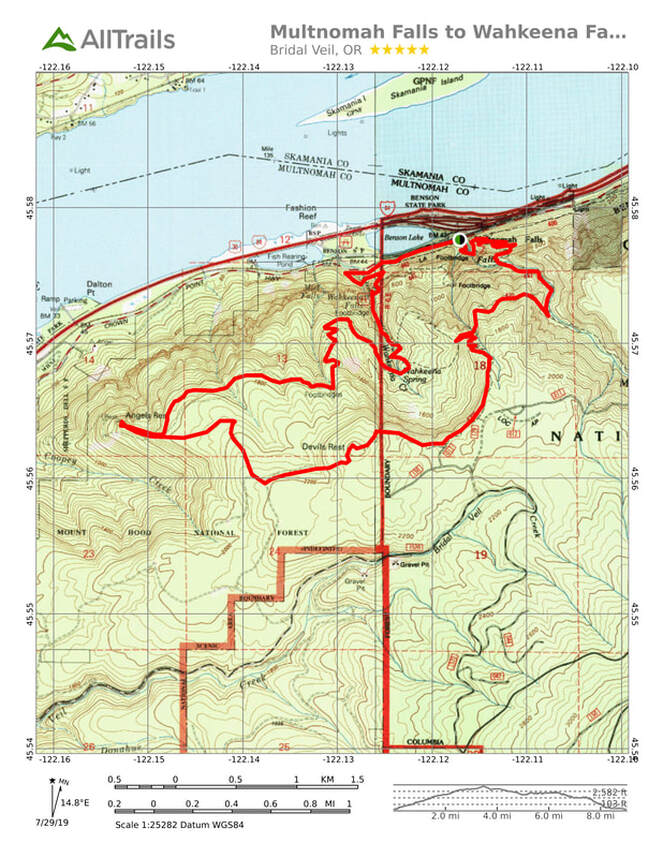
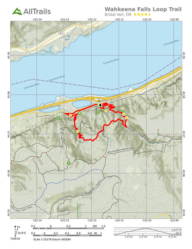
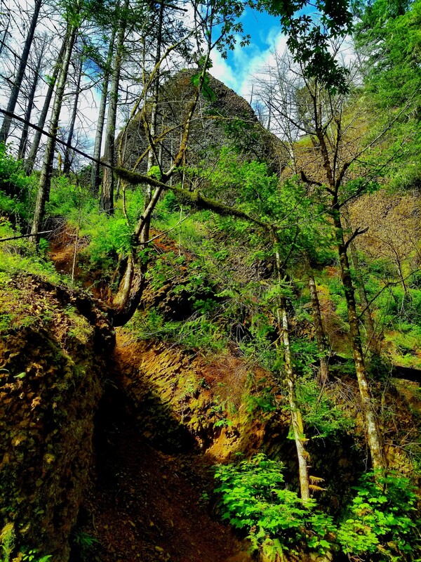
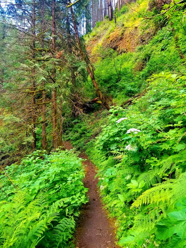
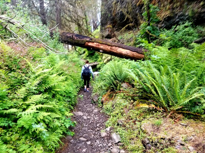
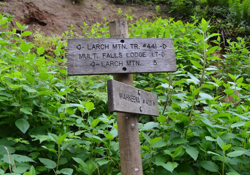
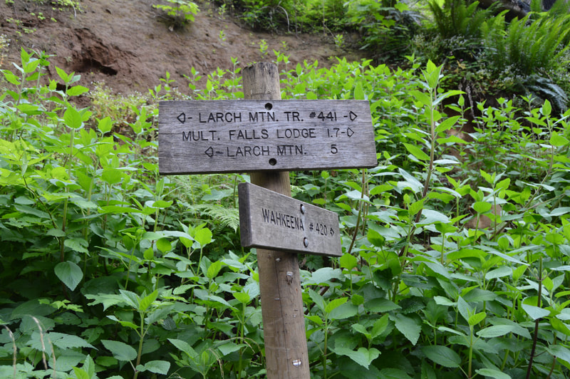
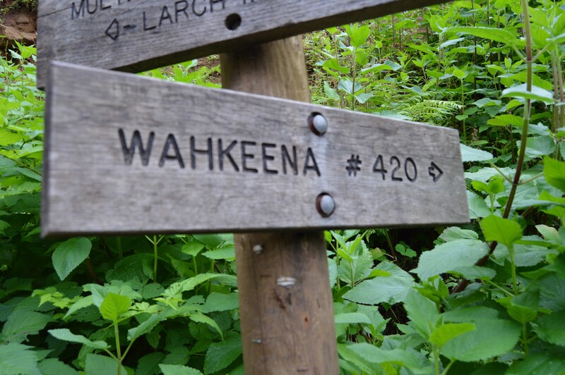
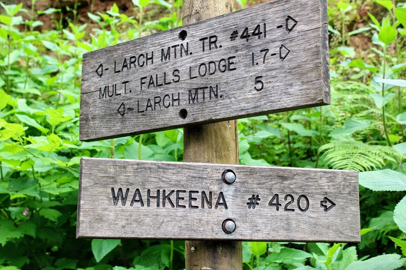
We were very excited to hear that there were trails open at the Multnomah Trailhead. The trail we had originally planned to do was called the Multnomah Falls to Wahkeena Falls Loop Trail by Devil's Rest. This is a 9 mile trail. See the first map below for details. Much of the Devil's Rest portion of the trail was still damaged, so we did the basic Multnomah to Wahkeena Loop Trail (second map) instead. The basic trail is a 5 mile trail and allowed us to see all the same waterfalls that we would have seen on the planned trail. On this trail we saw:
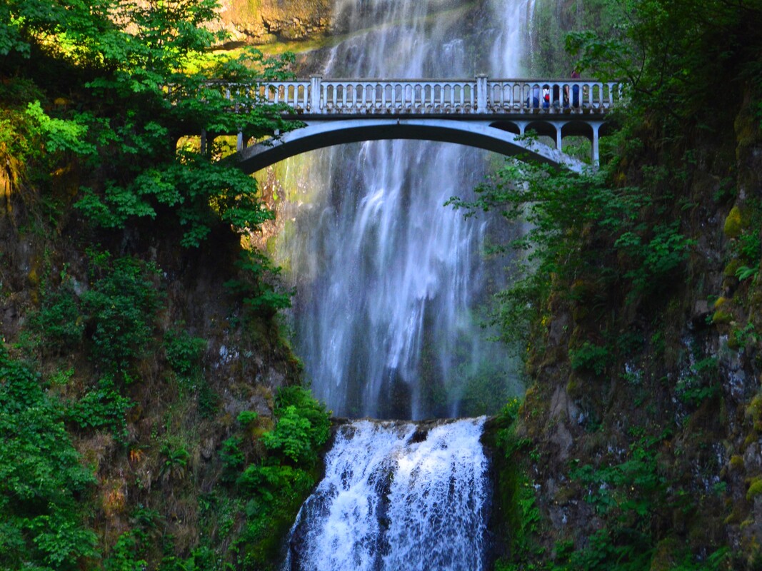
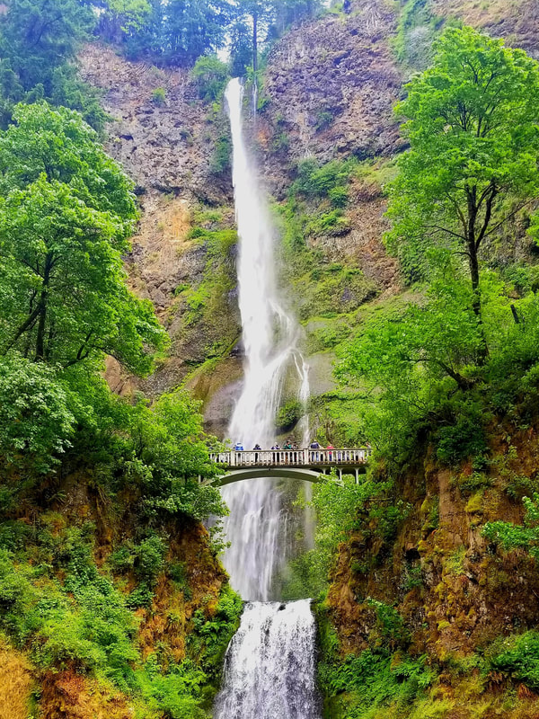
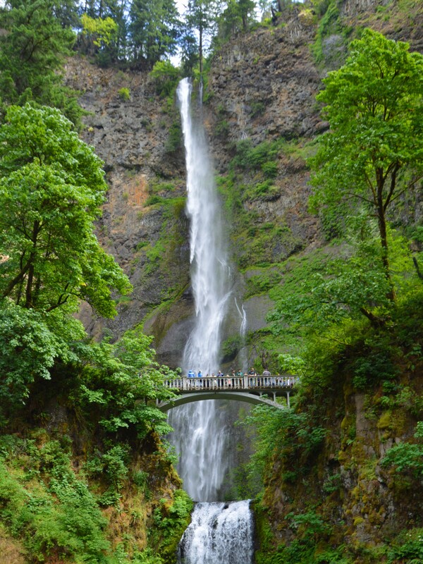
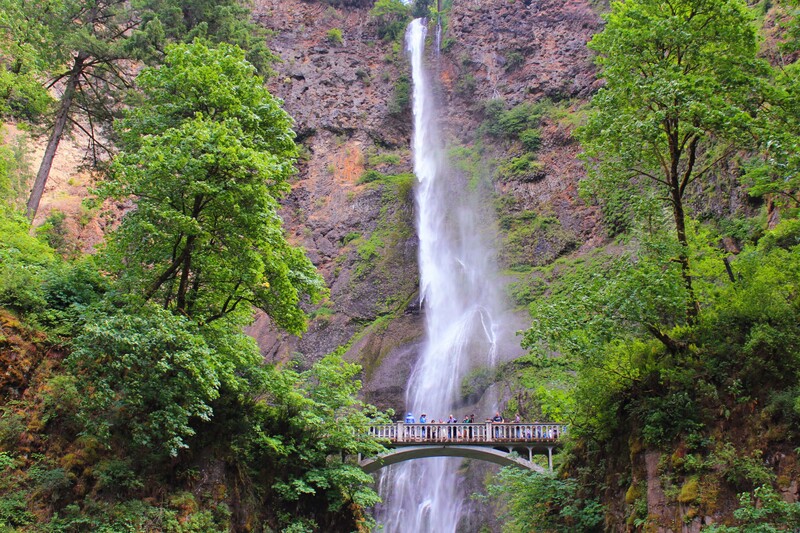
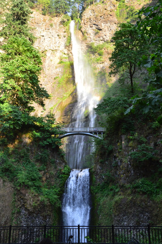
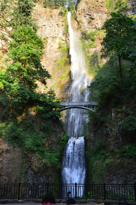
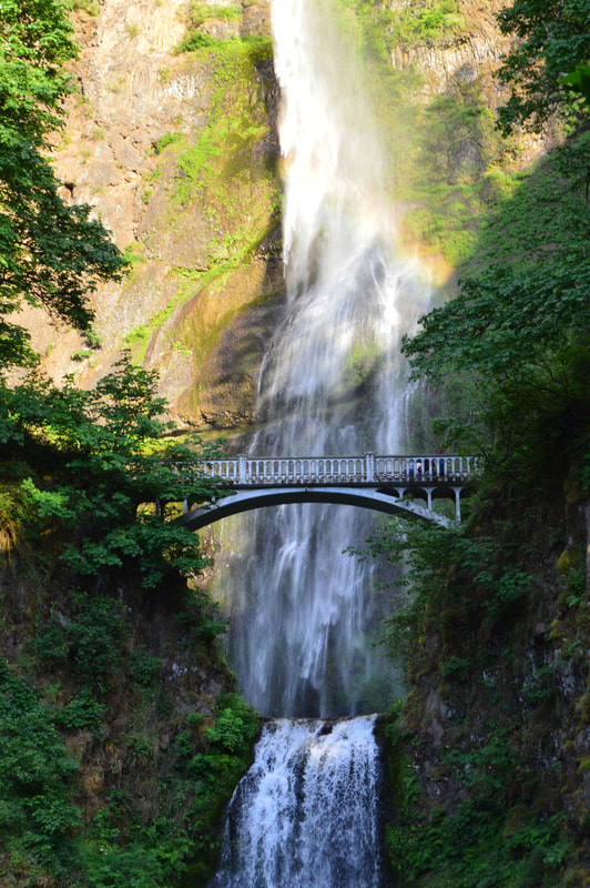
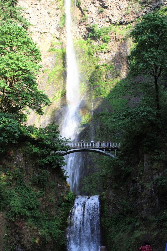
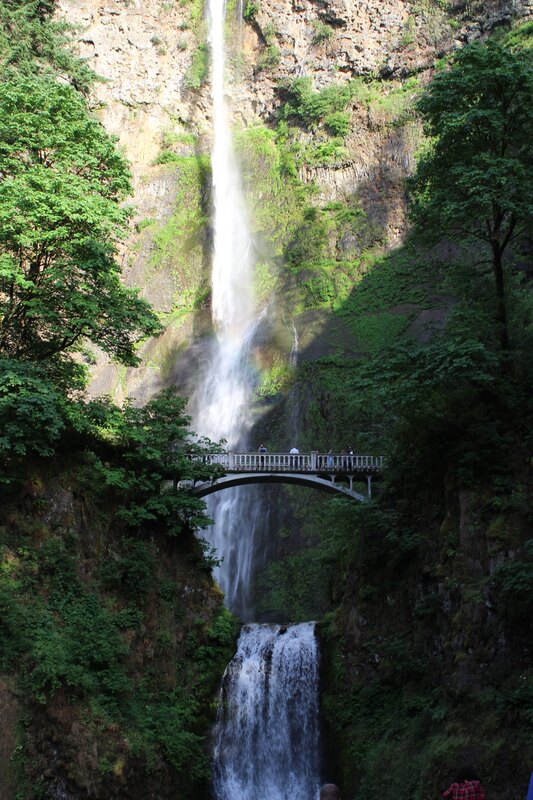
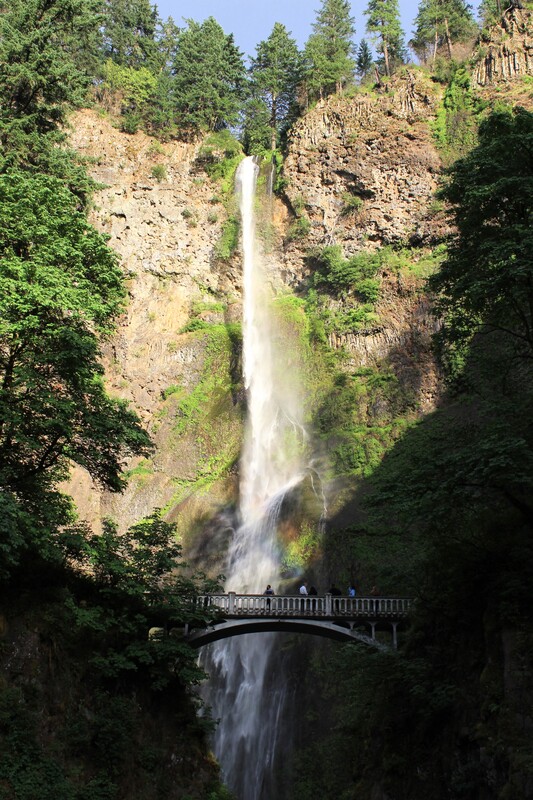
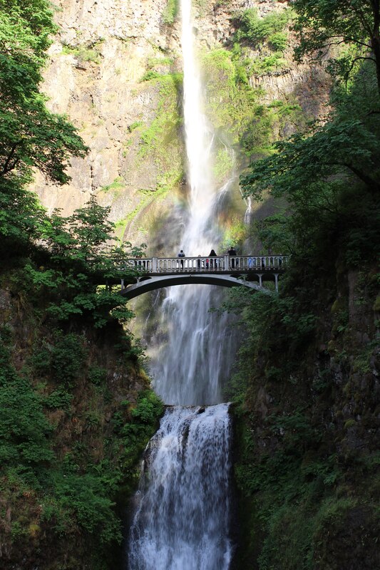
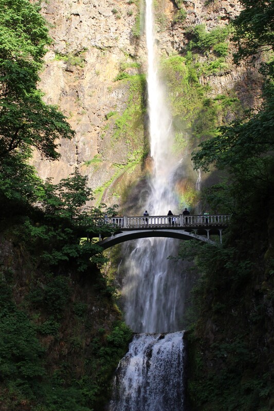
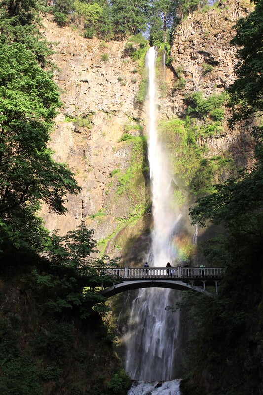
Multnomah Falls from the bottom of the falls, the Benson Bridge, and the top of the falls
The Columbia River
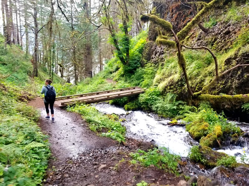
Multnomah Creek
Dutchman Falls
Weisendanger Falls
Ecola Falls
Wahkeena Creek
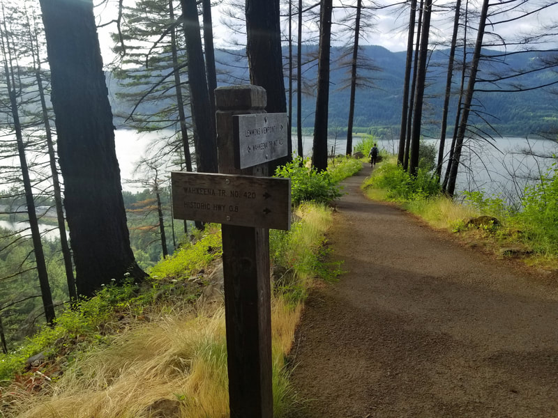
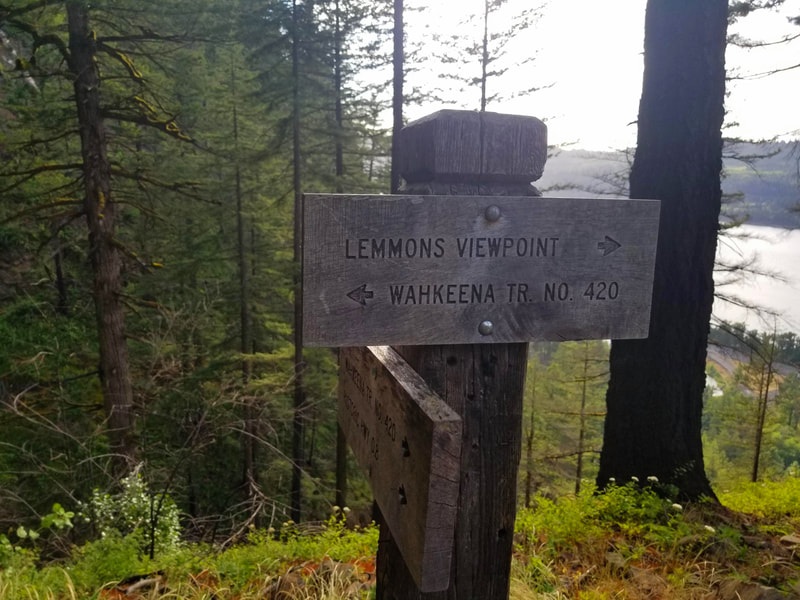
Lemmon's Viewpoint
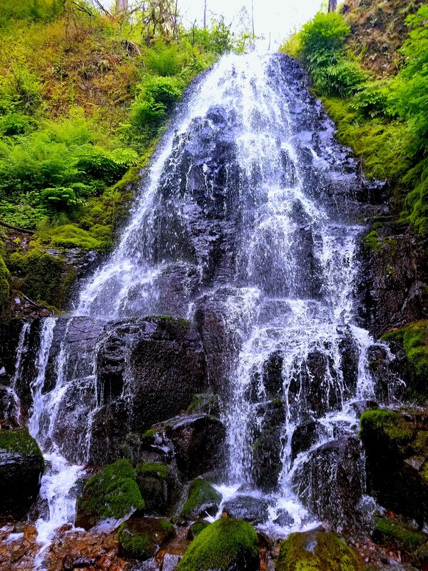
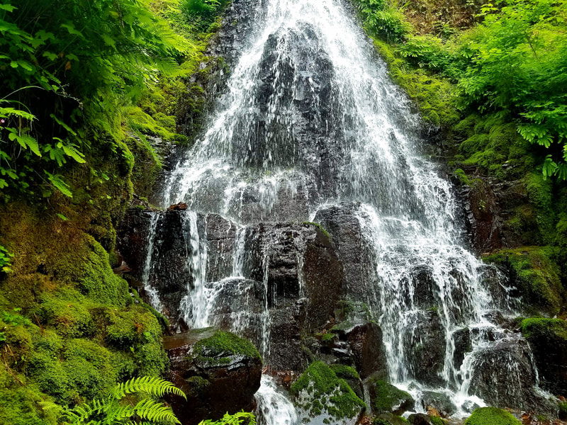
Fairy Falls
Wahkeena Falls
The Columbia River
Multnomah Creek
Dutchman Falls
Weisendanger Falls
Ecola Falls
Wahkeena Creek
Lemmon's Viewpoint
Fairy Falls
Wahkeena Falls
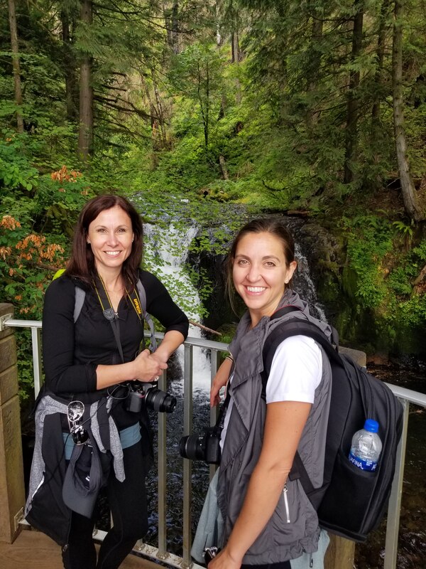
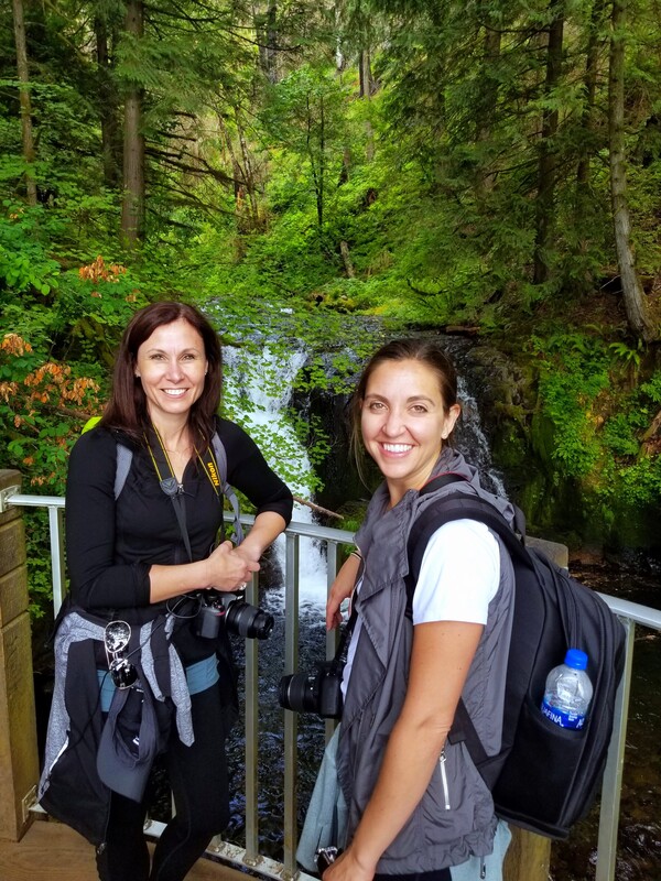
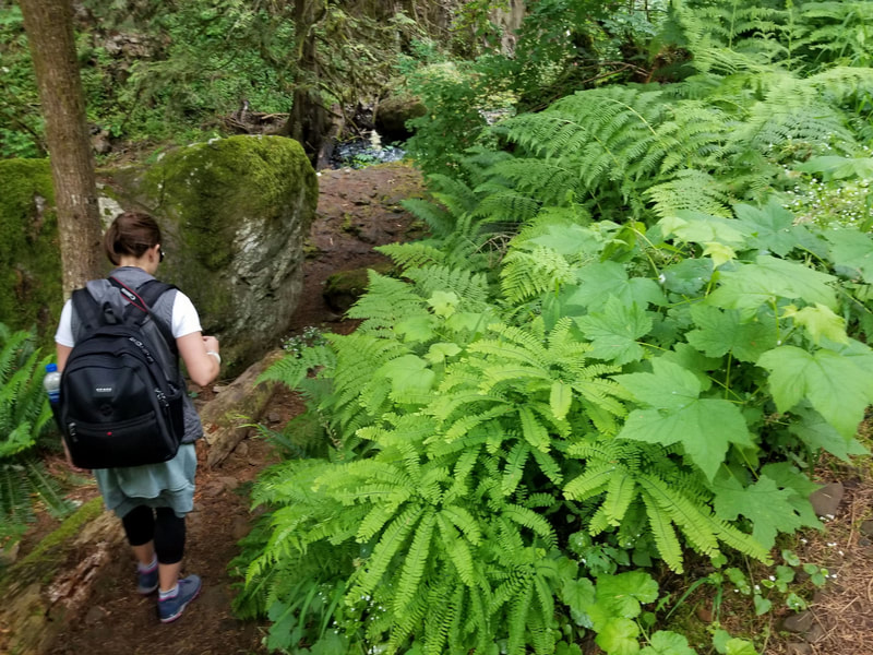
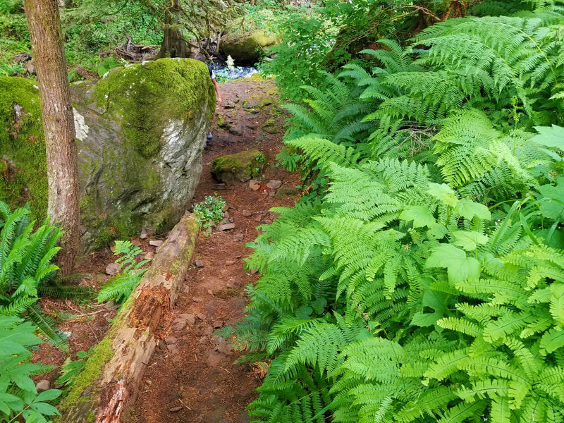
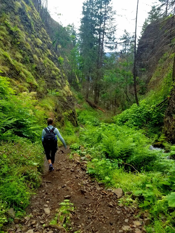
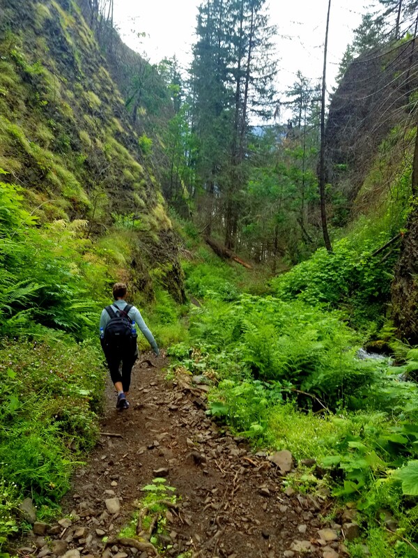
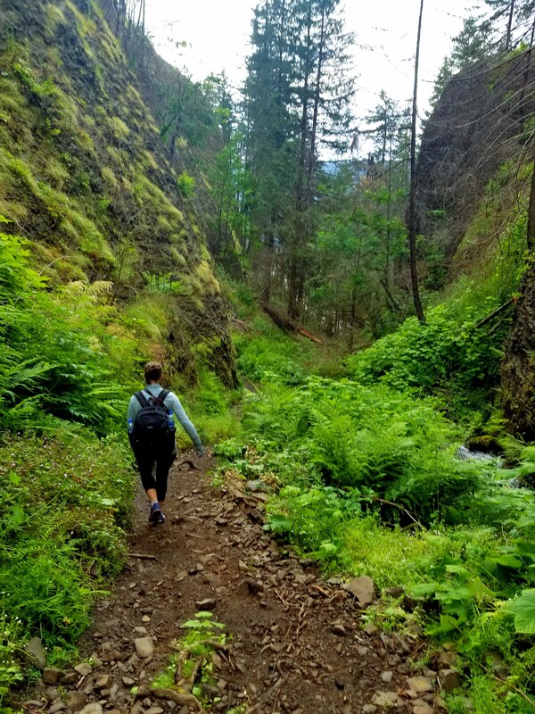
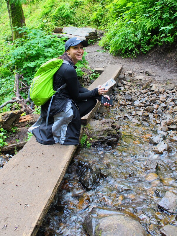
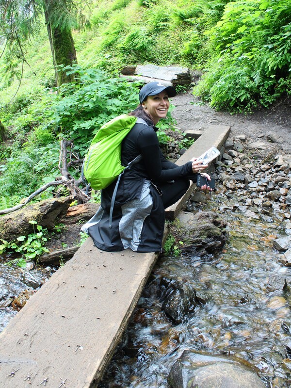
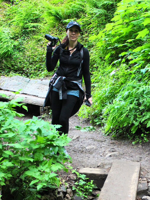
I loved this trail. It was a blessing that we had to take a shorter trail. Everything was so beautiful, we stopped constantly to just enjoy the scenery and explore the hidden gems of this place. It took us a bit longer than expected to complete the hike and we enjoyed every minute of it
This map is an informational trail map of the Multnomah Falls to Wahkeena Falls Loop Trail starting at the Multnomah Falls Trailhead that we intended to do before we learned about the parts of the trail that were closed. This trail is a 9 mile roundtrip trek with a 2,864 feet elevation gain. It is considered a hard trail due to rough terrain and elevation gain.
This map is an informational trail map of the Wahkeena Falls Loop Trail starting at the Multnomah Falls Trailhead that we did because the back parts of the Multnomah Falls to Wahkeena Falls Loop were closed. This trail is a 5 mile roundtrip trek with a 1,535 feet elevation gain. It is considered a moderate trail because it does have a strenuous elevation gain but it isn't as difficult as the Wahkeena - Multnomah Loop.
MULTNOMAH FALLS
Multnomah to Wahkeena Falls Loop
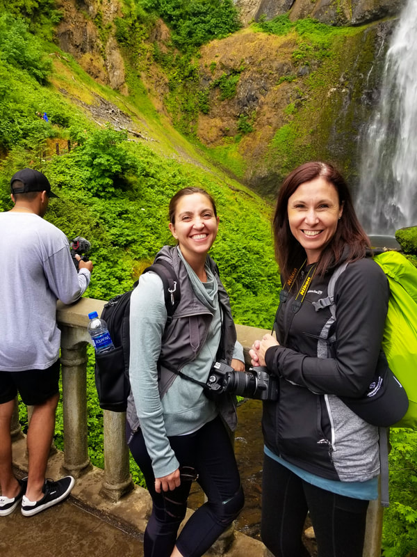
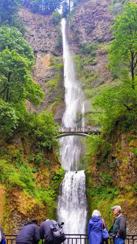
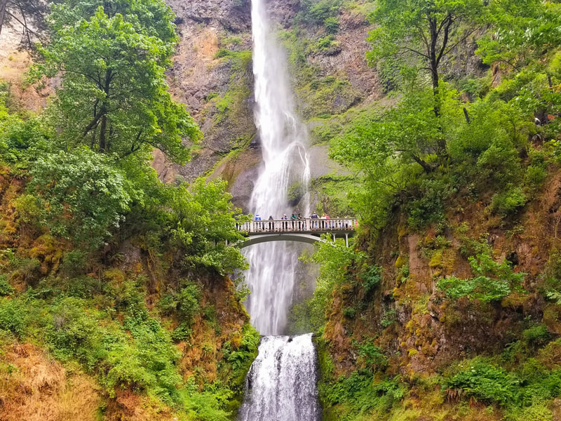
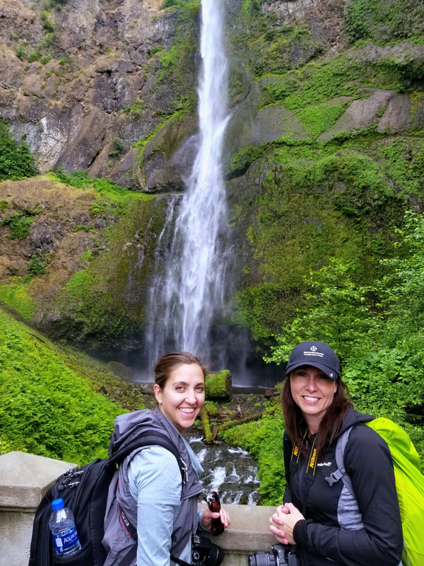
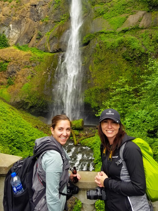
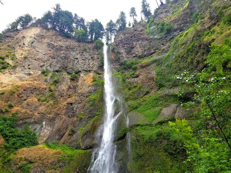
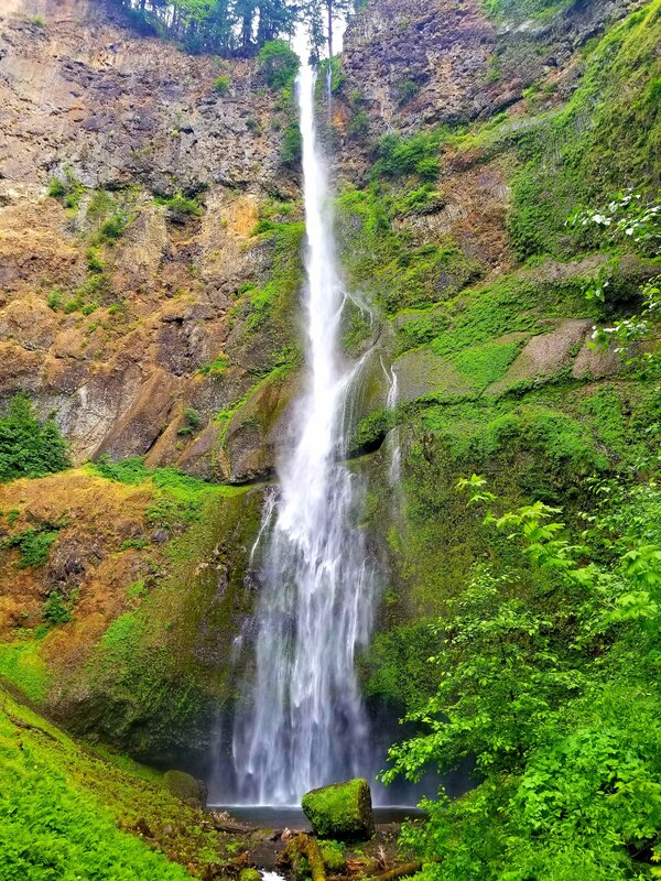
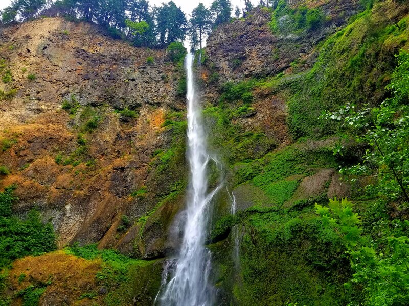
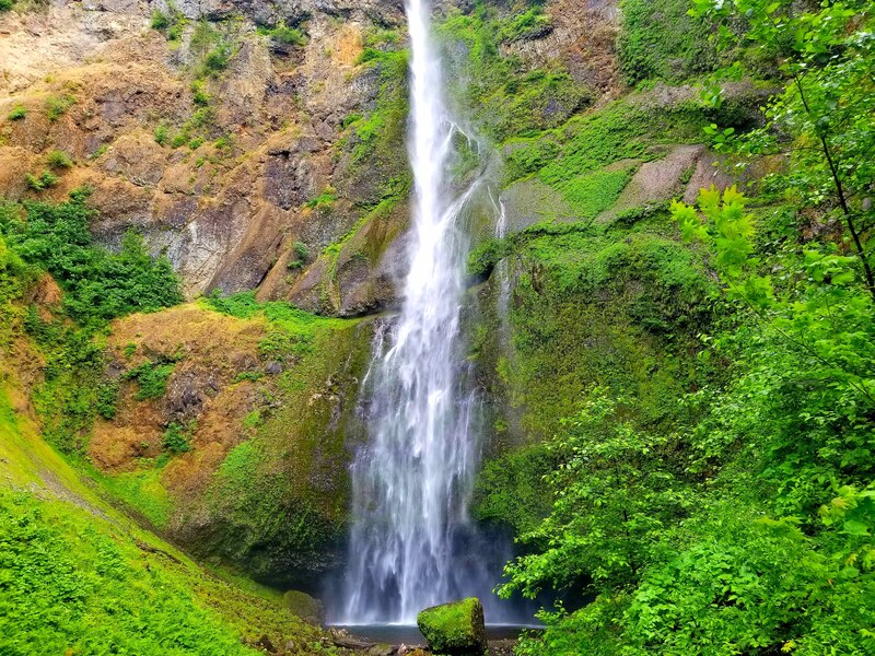
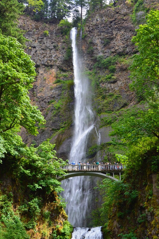
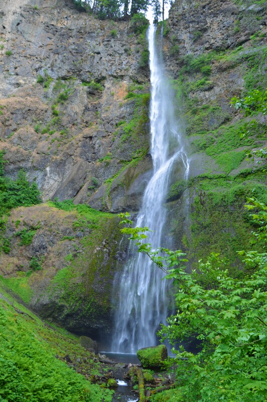
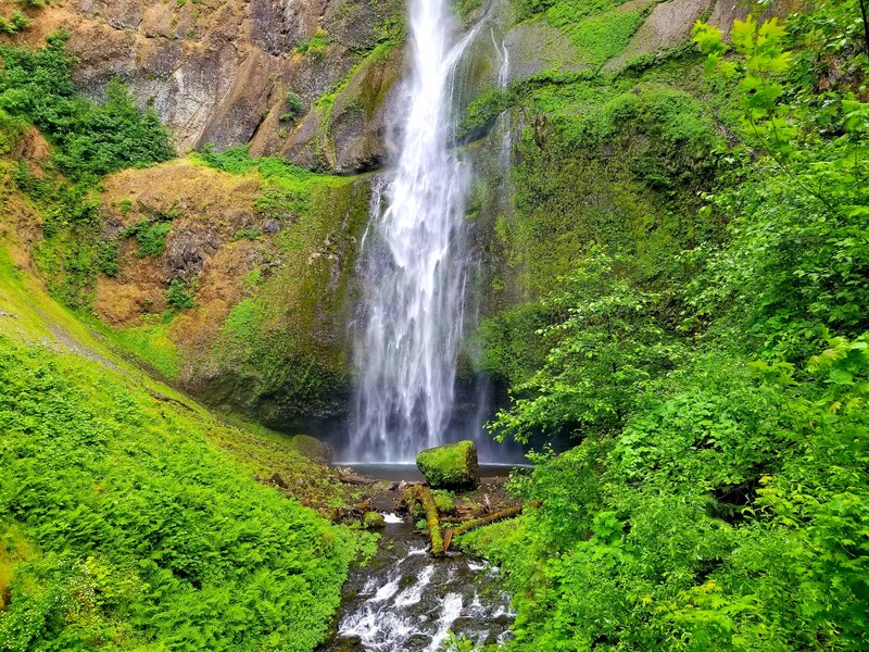
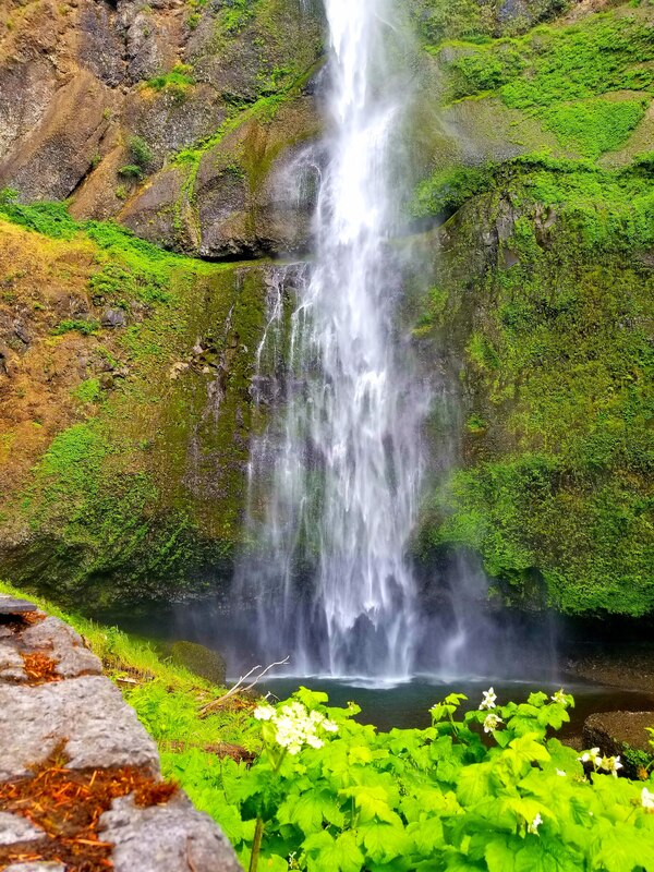
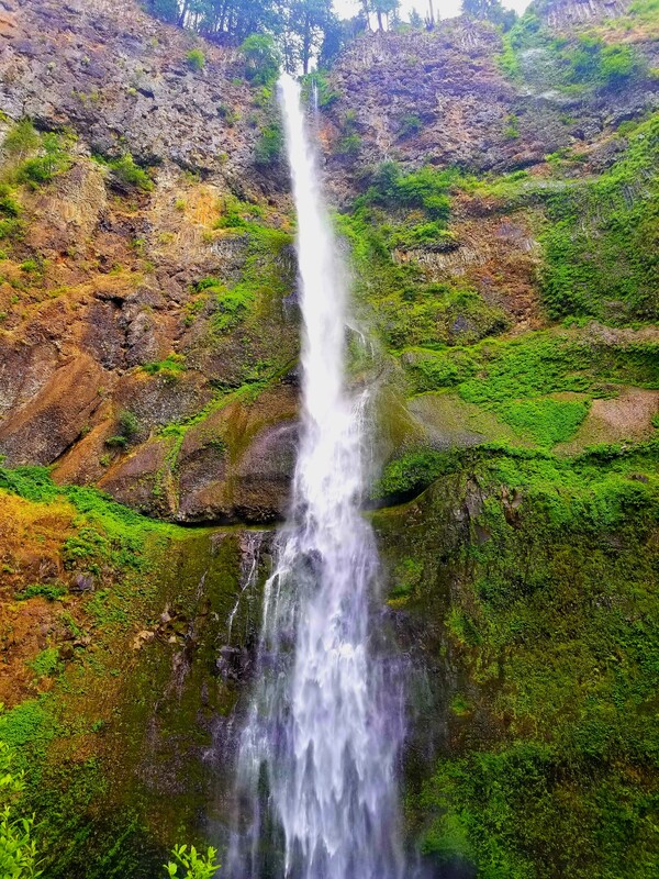
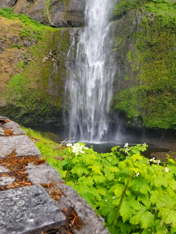
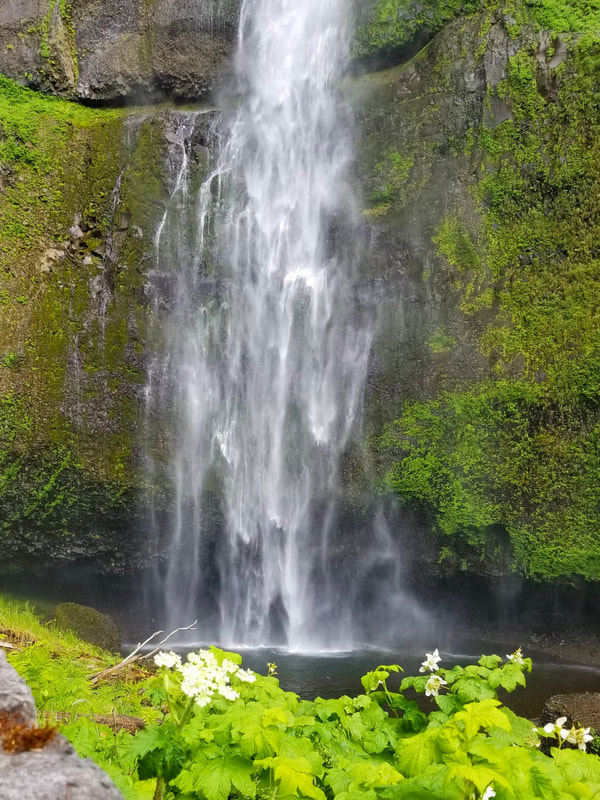
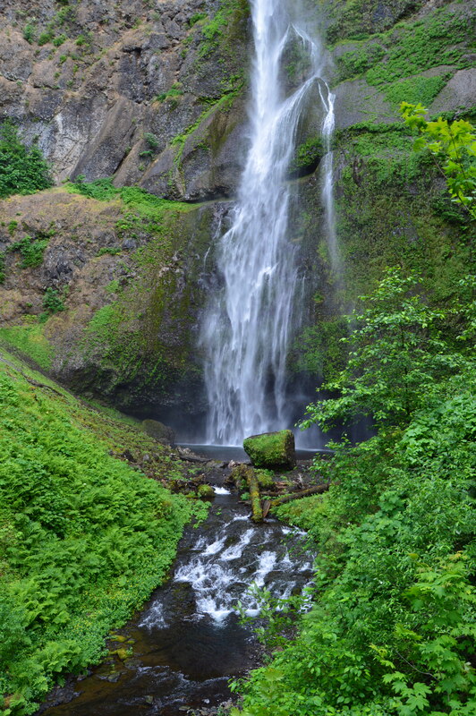
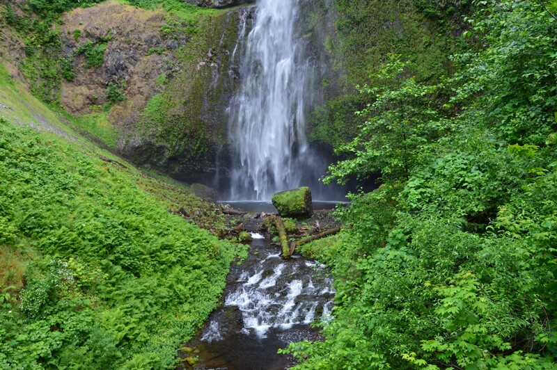
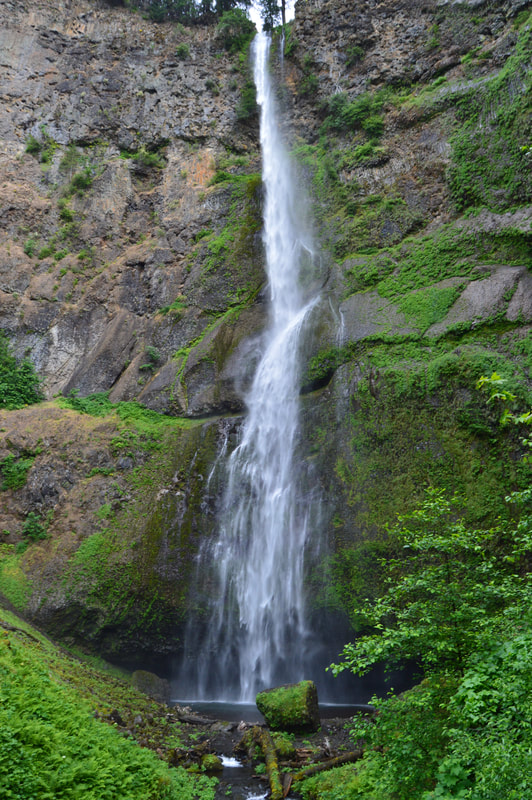
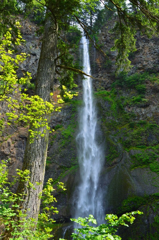
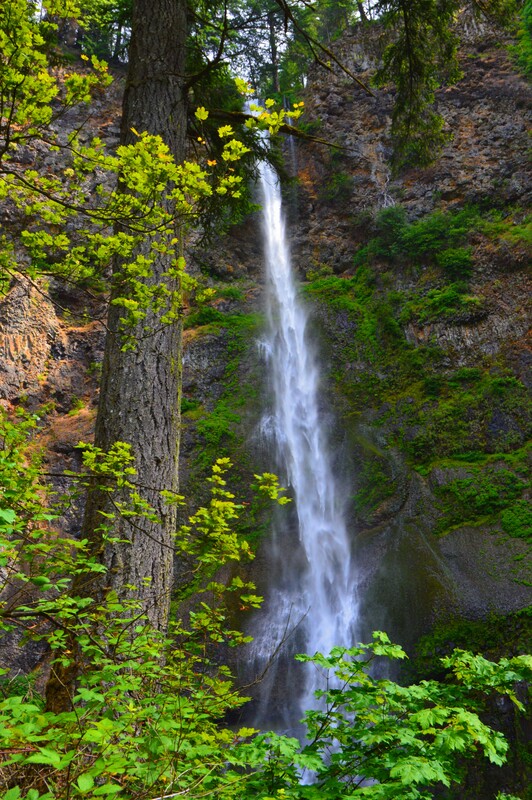
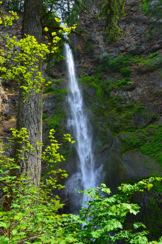
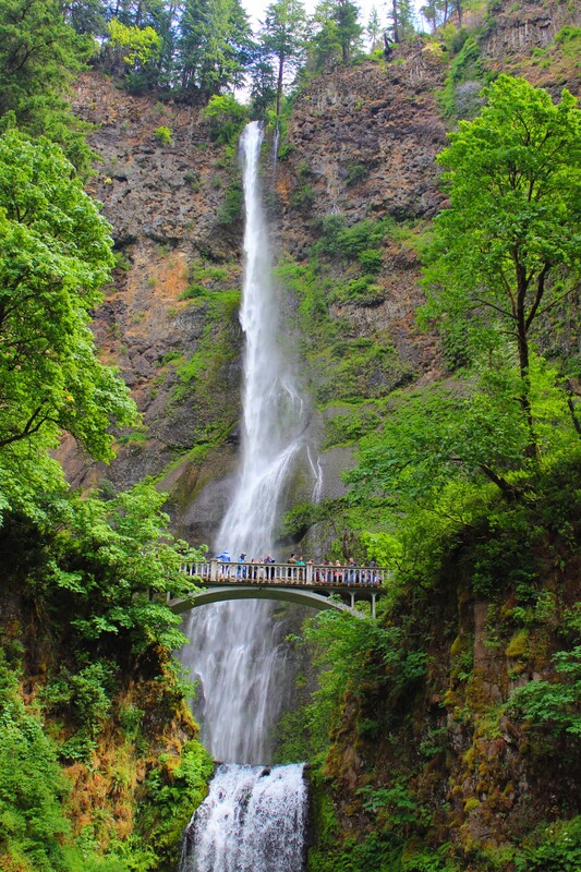
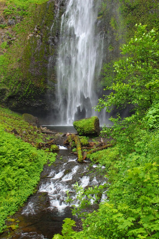
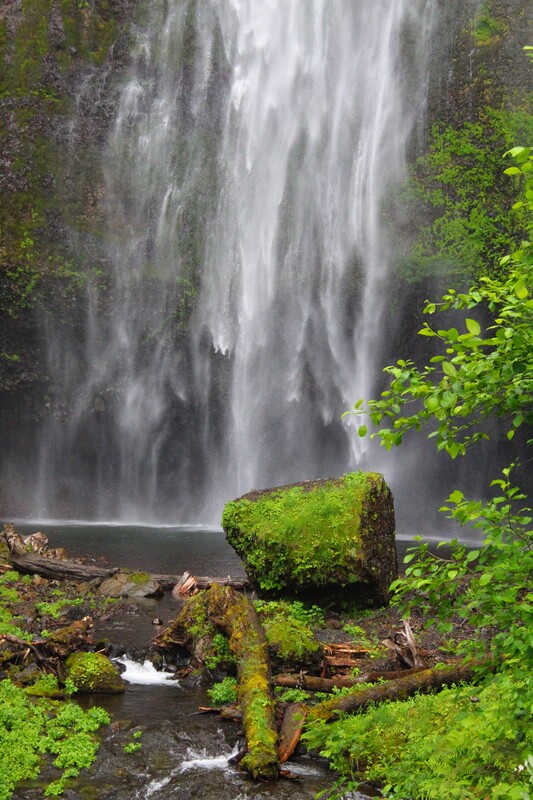
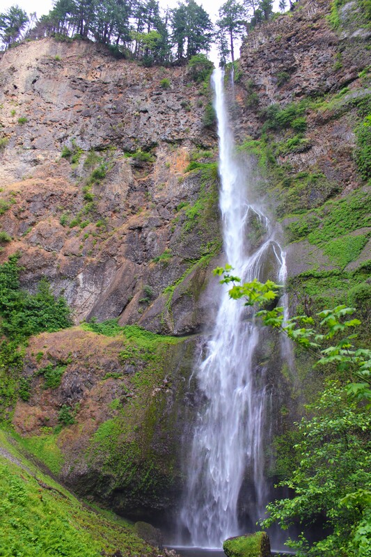
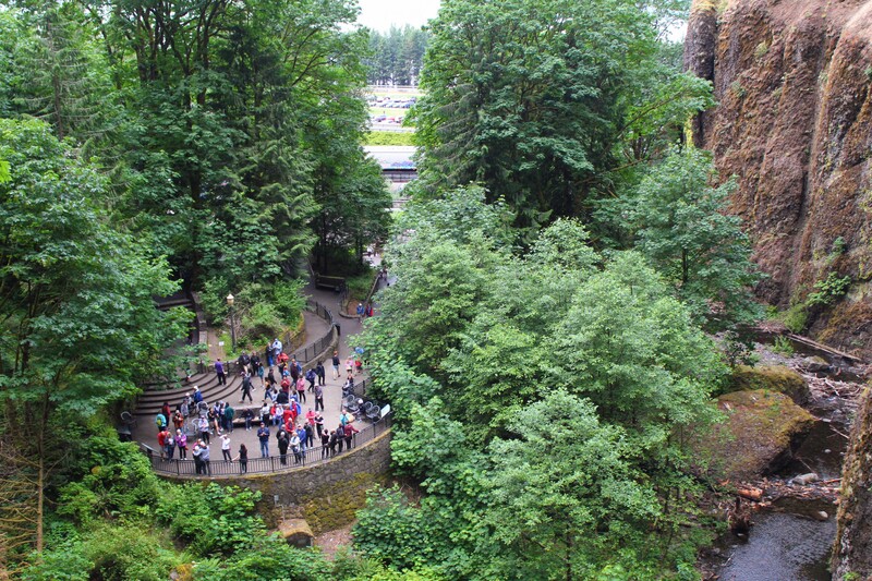
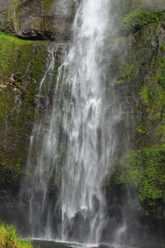
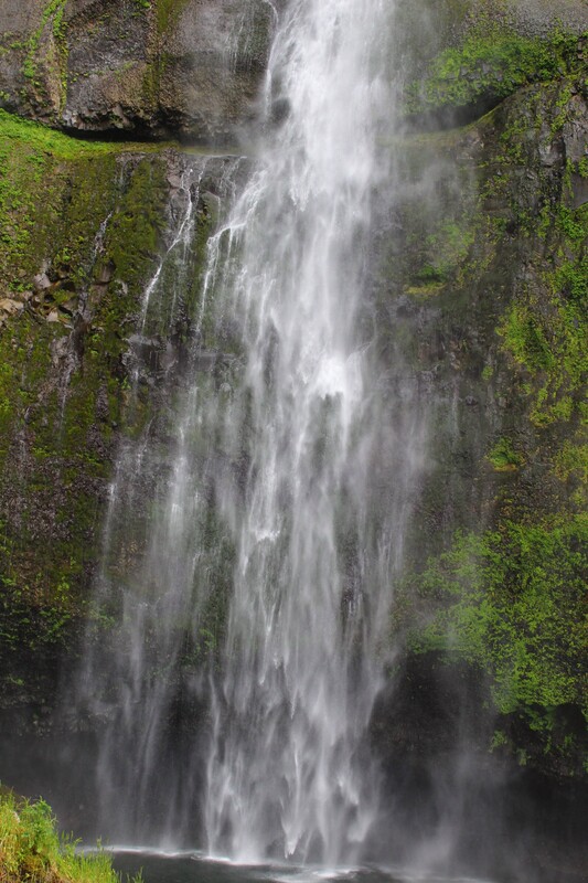
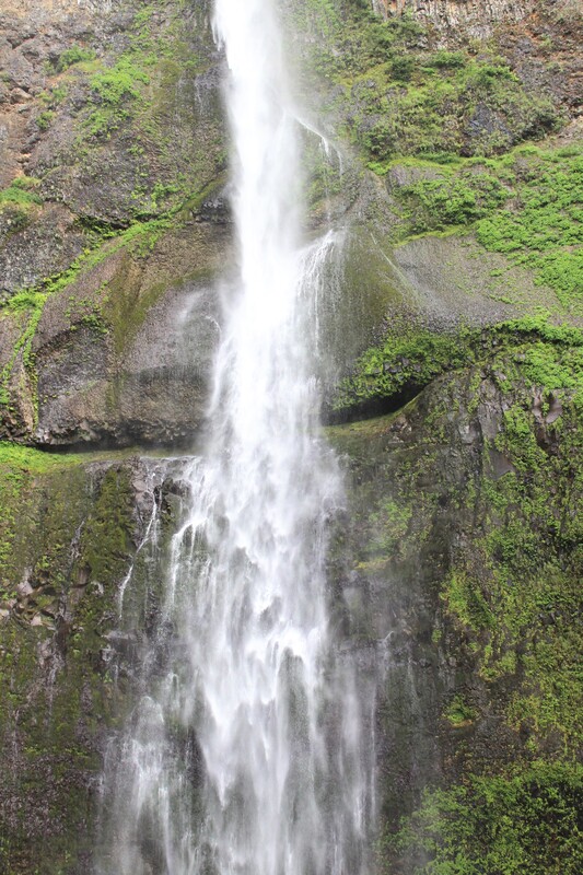
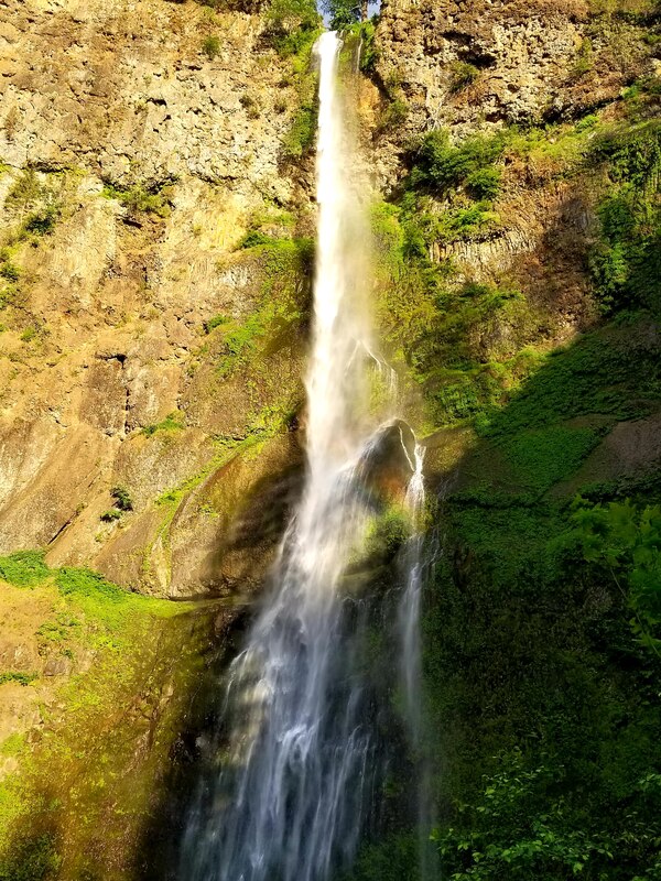
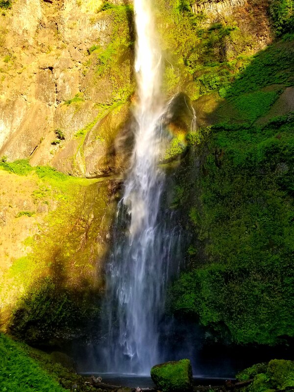
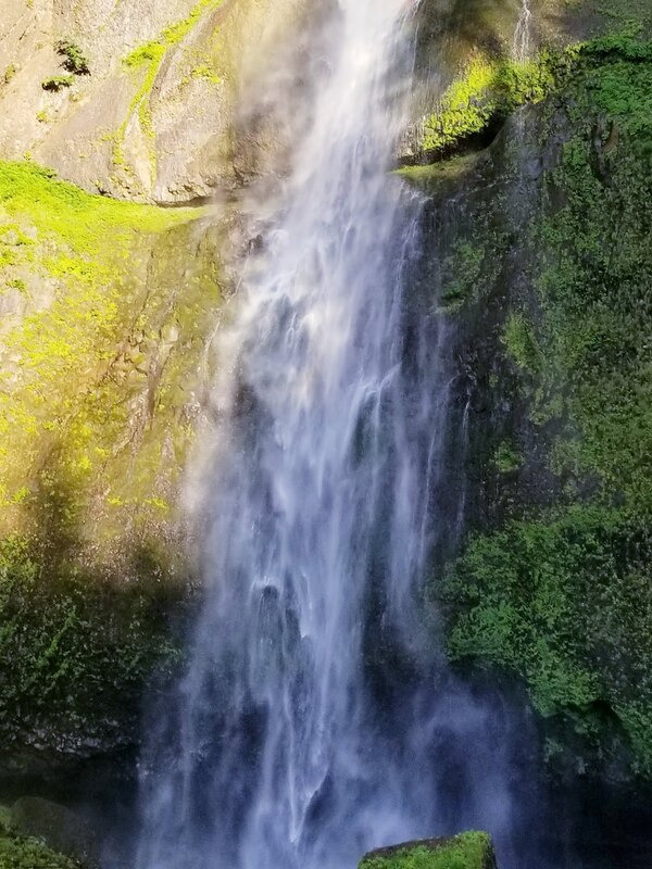
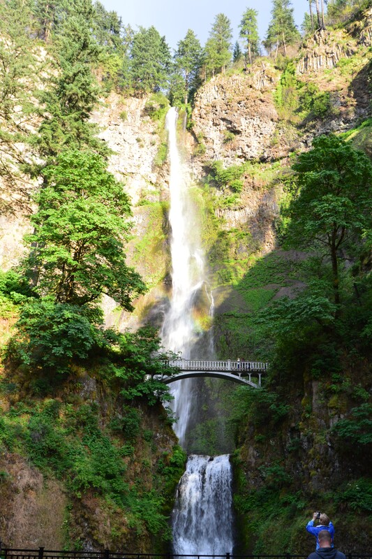
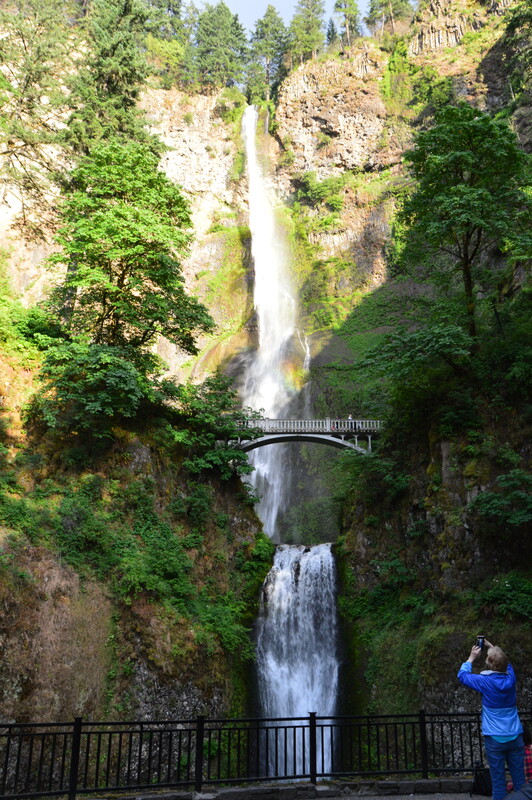
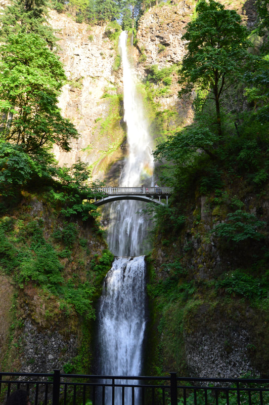
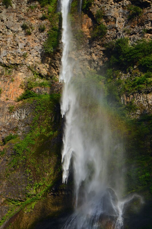
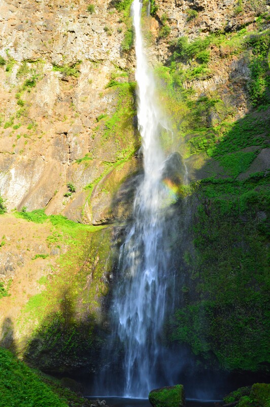
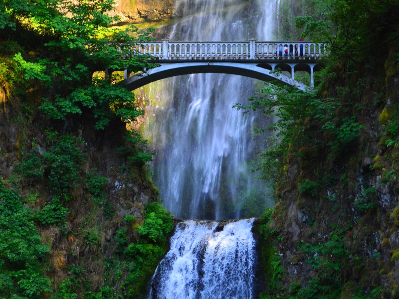
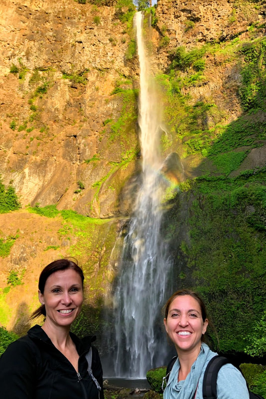
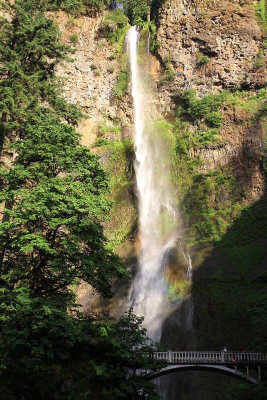
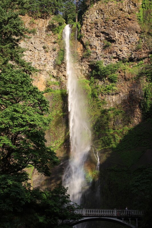
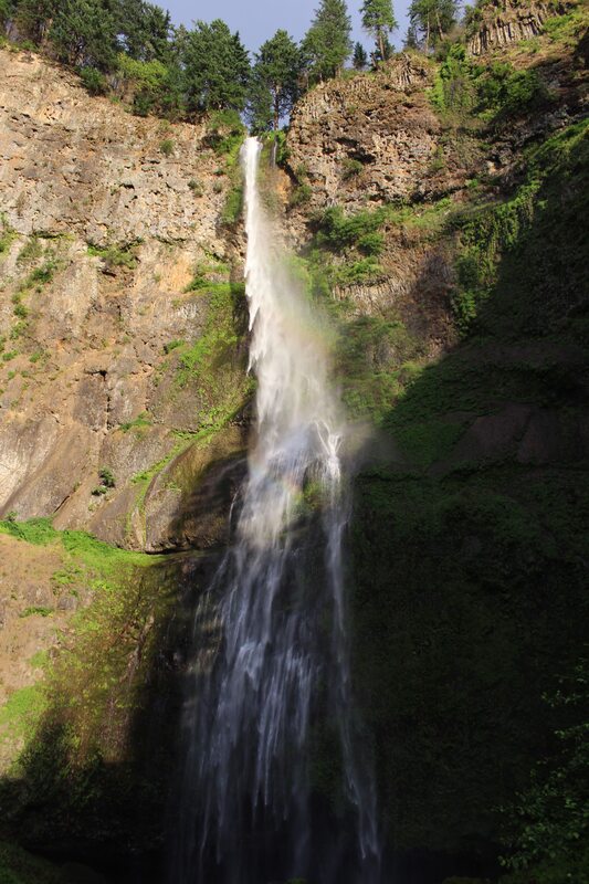
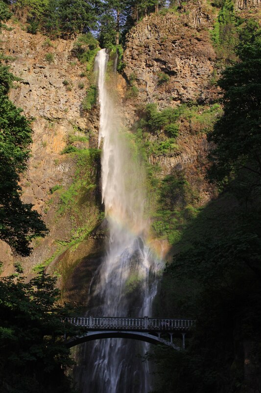
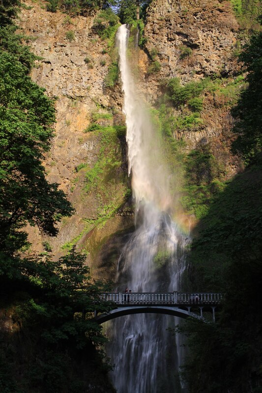
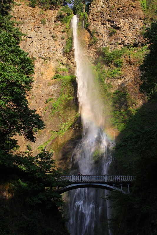
Multnomah Falls drops in two major steps. The upper falls is 542 feet and the lower falls is 69 feet with a gradual 9 foot drop in elevation between the two. The total height of the waterfall is 620 feet. According to the World Waterfall Database, Multnomah Falls is the is ranked 434 in world waterfall heights, 154 in U.S. waterfall heights, and 108 in Continental U.S. waterfall heights. This was incredible to me because it was amazingly tall!
Click on each picture below to enlarge the picture and view the whole photo.
MULTNOMAH CREEK
Multnomah to Wahkeena Falls Loop
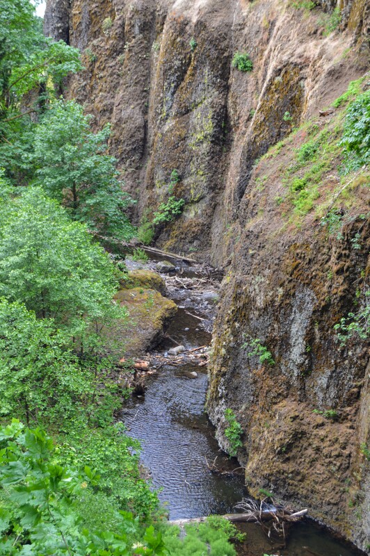
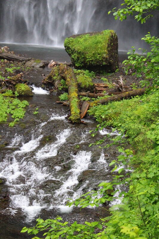
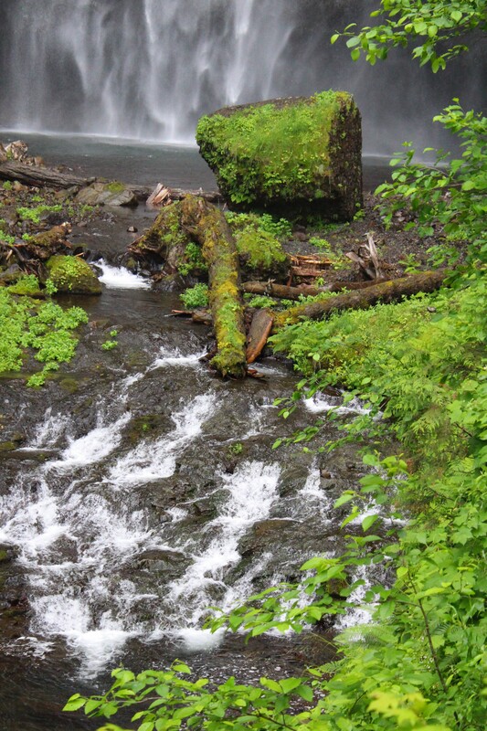
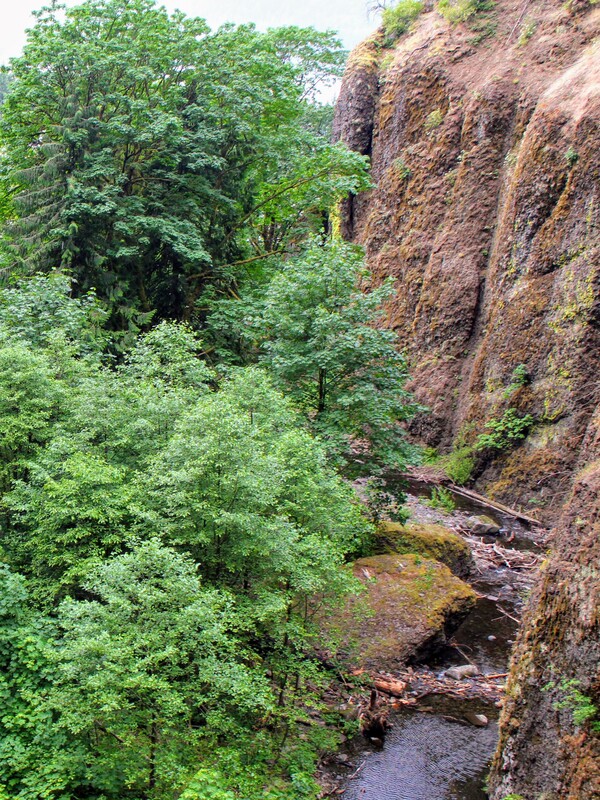
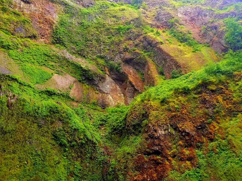
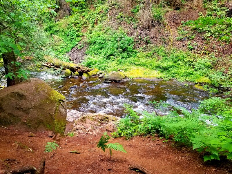
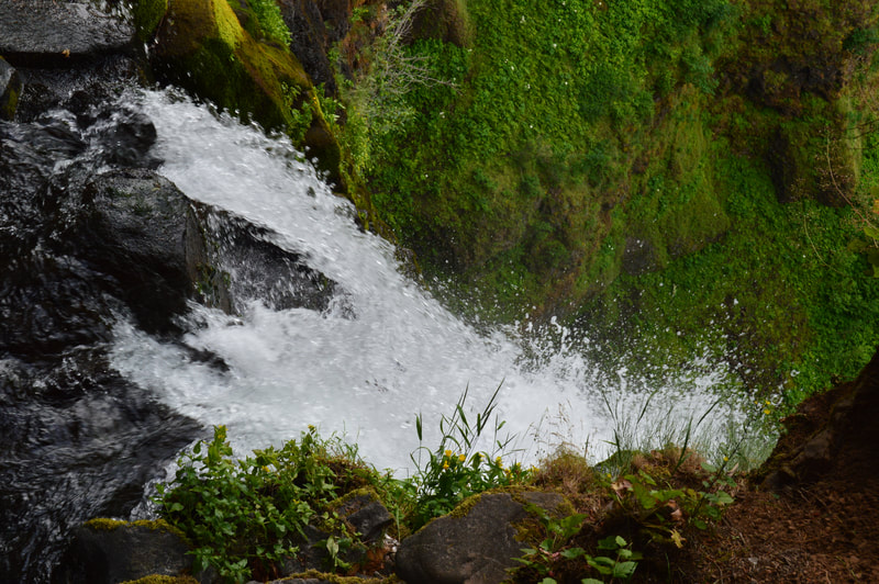
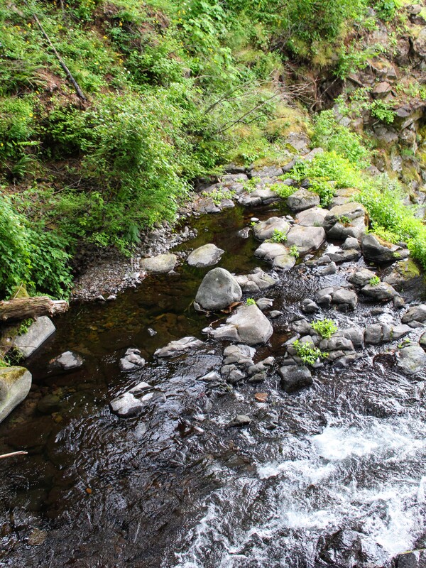
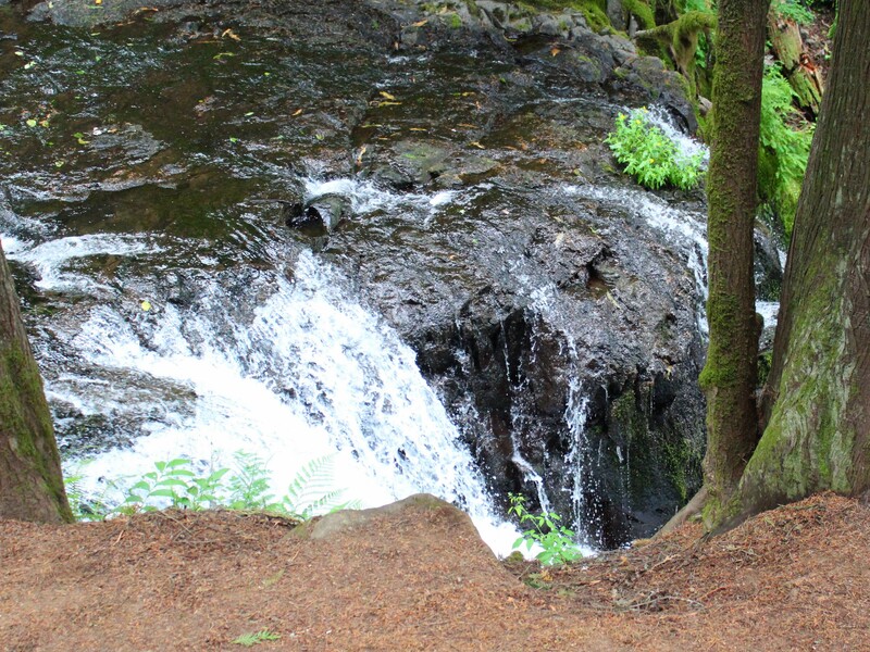
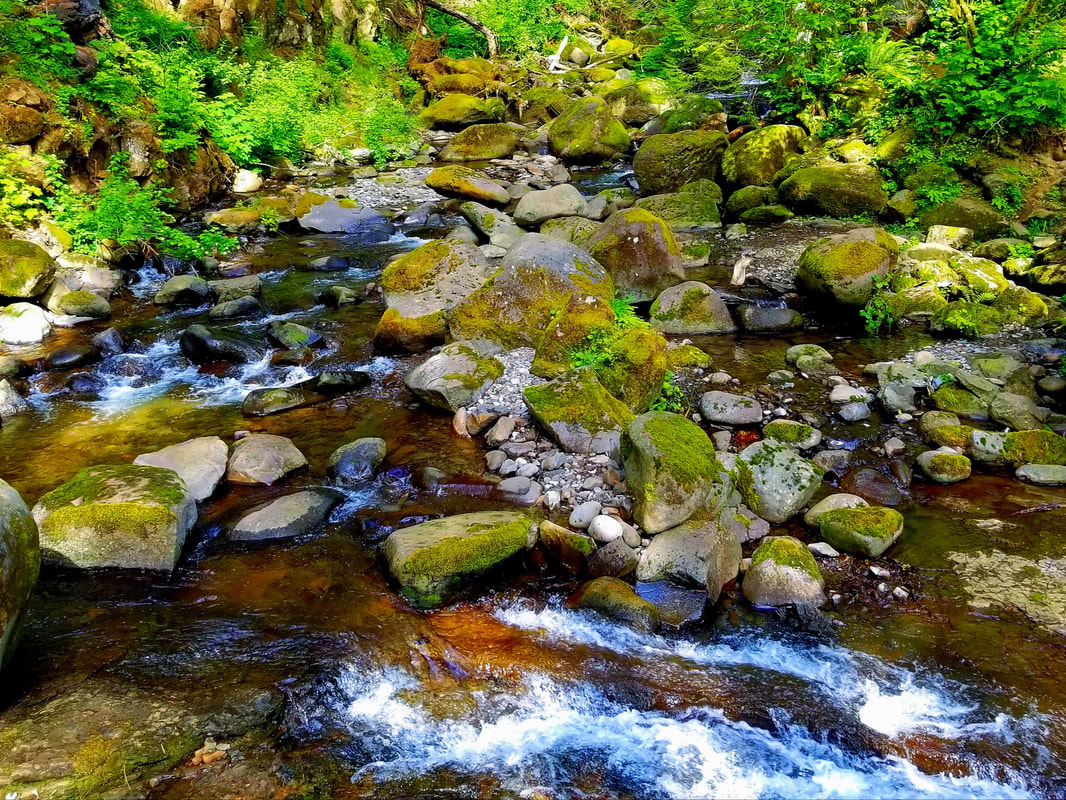
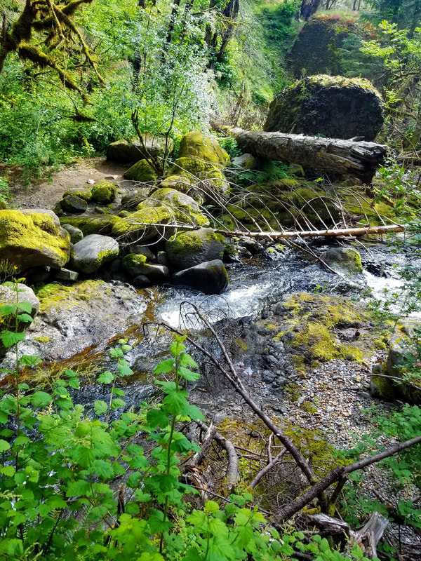
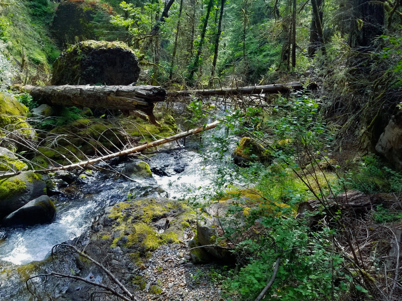
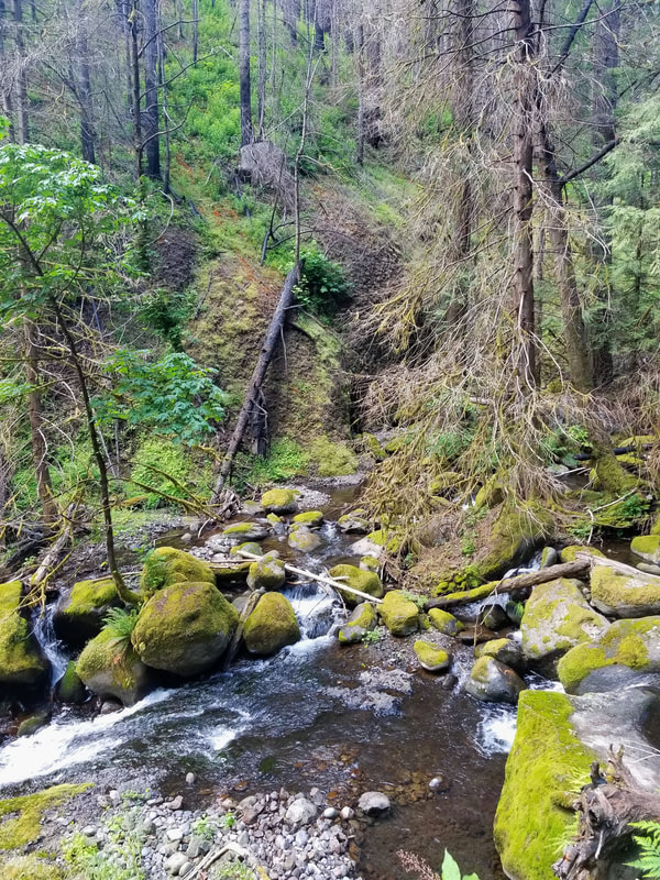
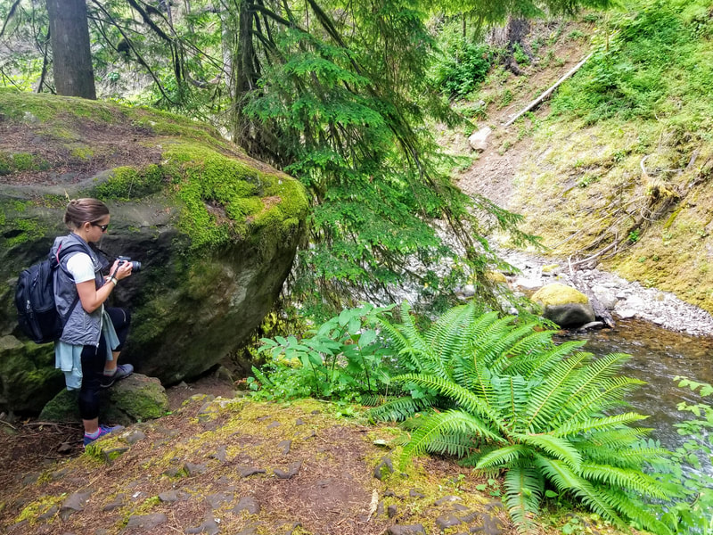
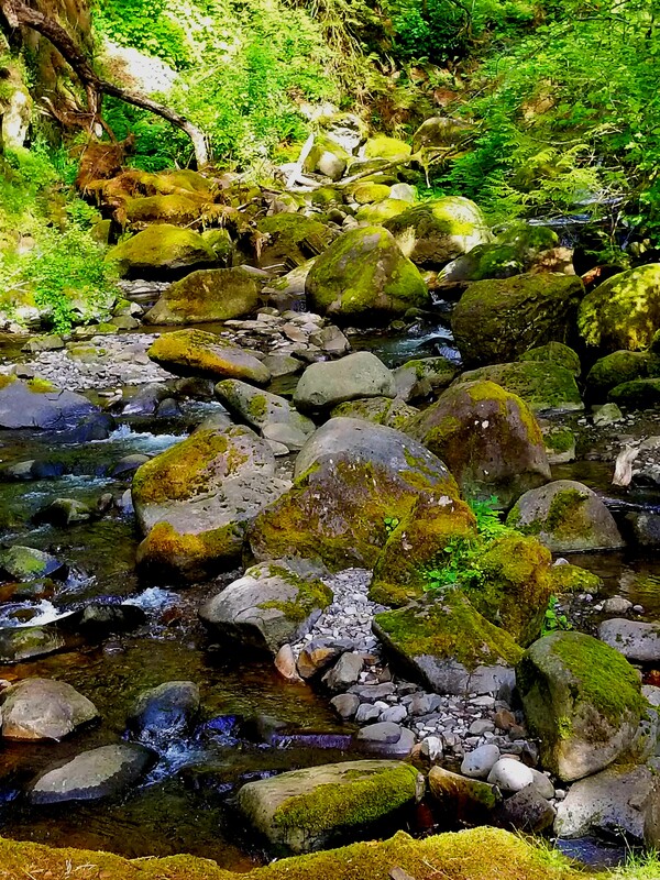
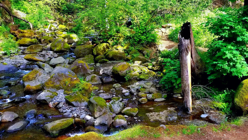
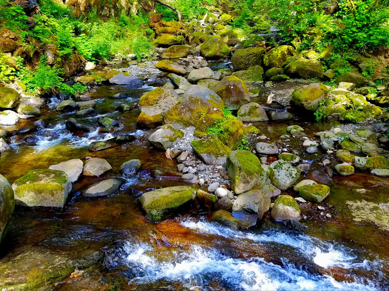
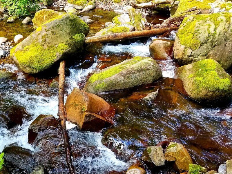
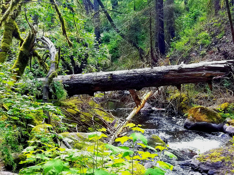
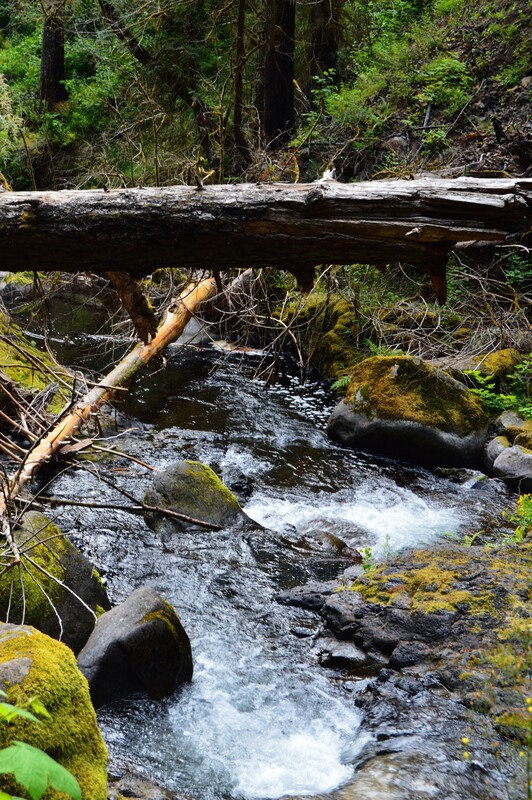
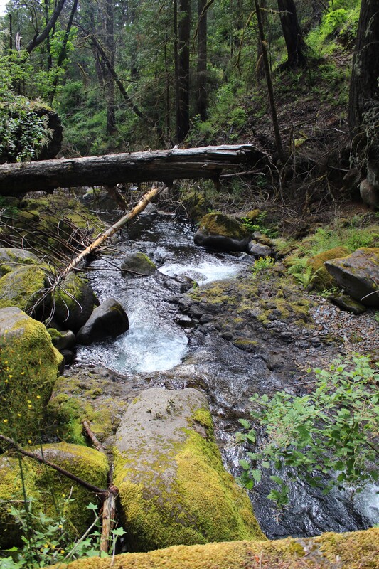
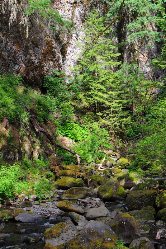
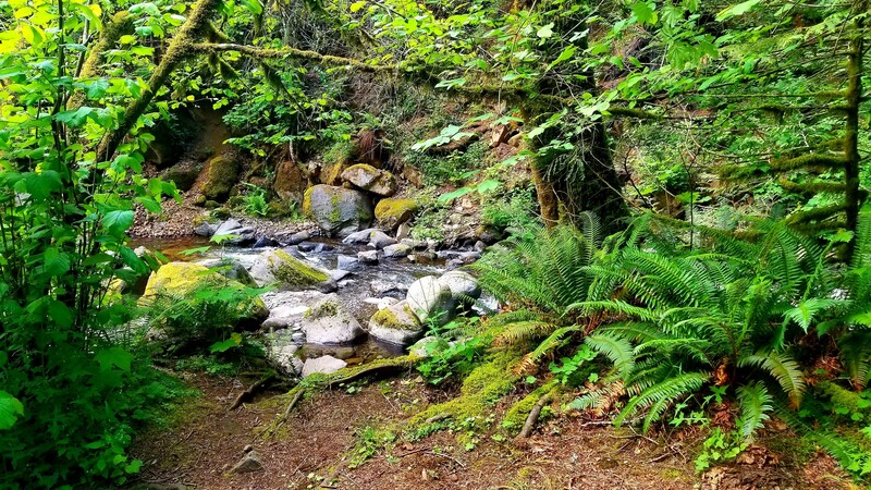
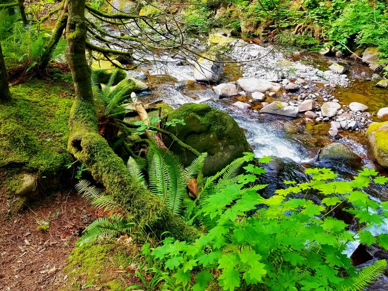
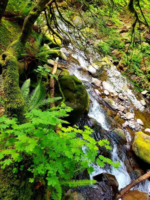
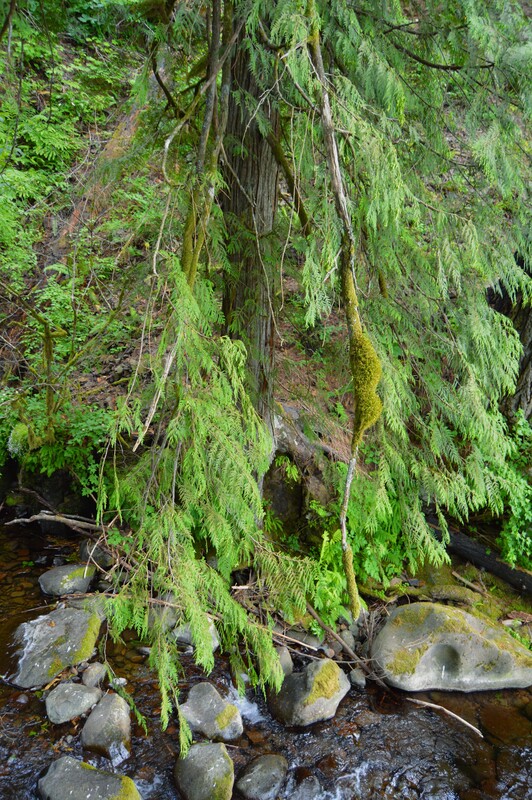
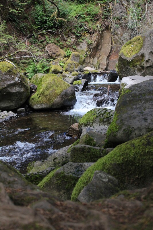
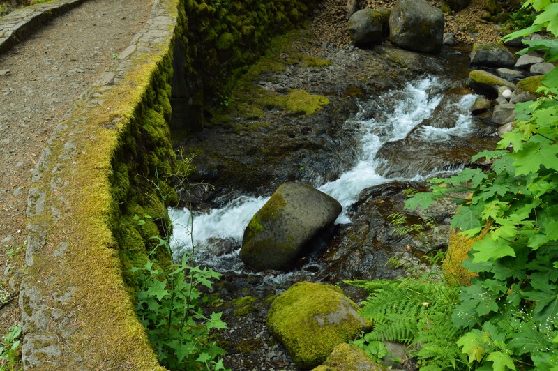
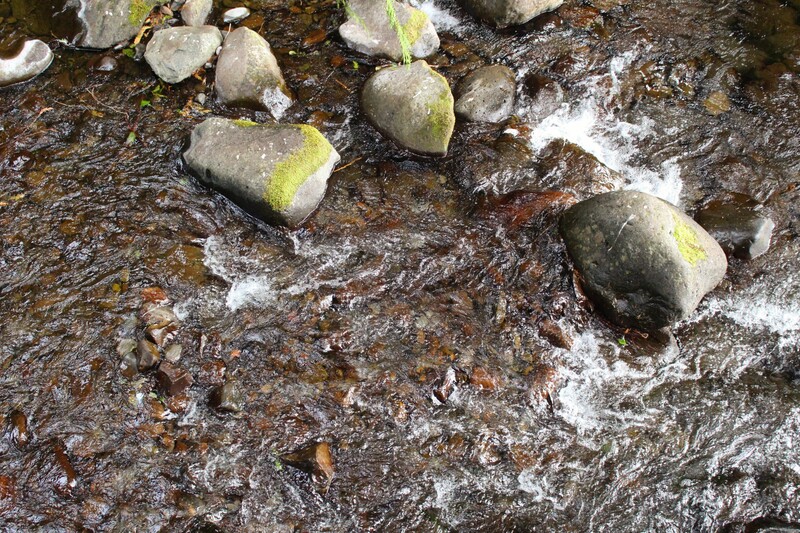
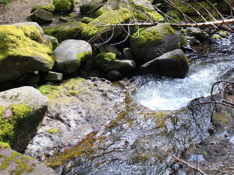
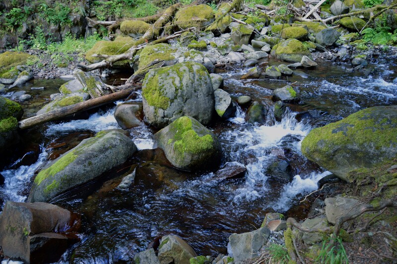
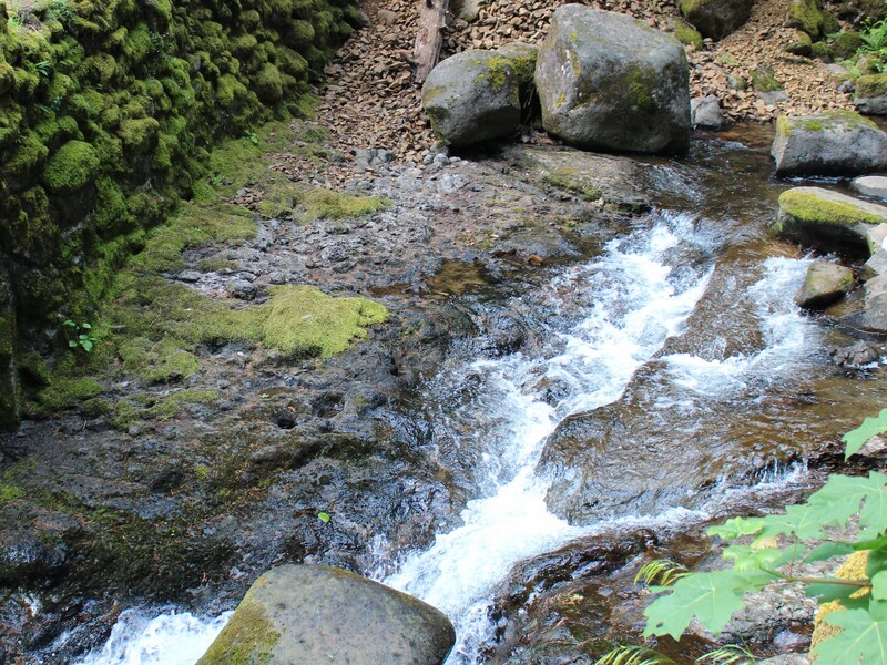
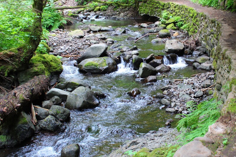
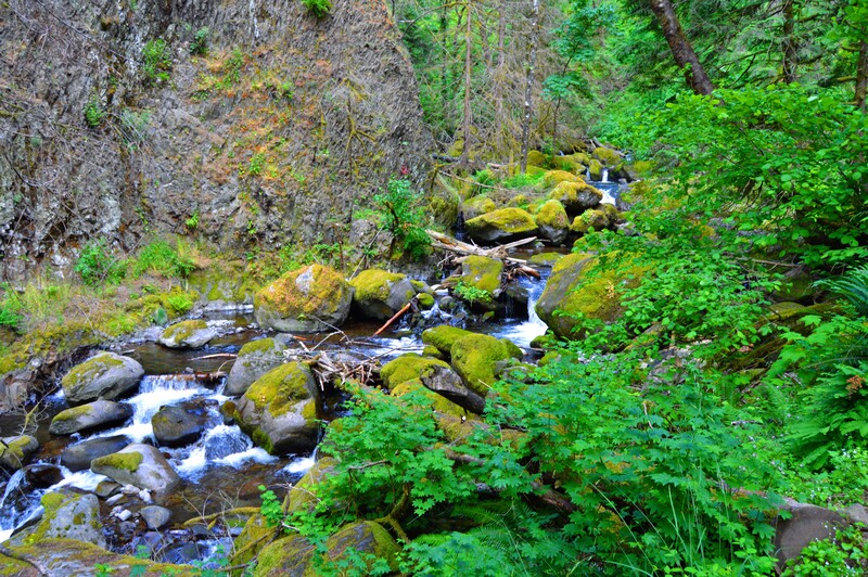
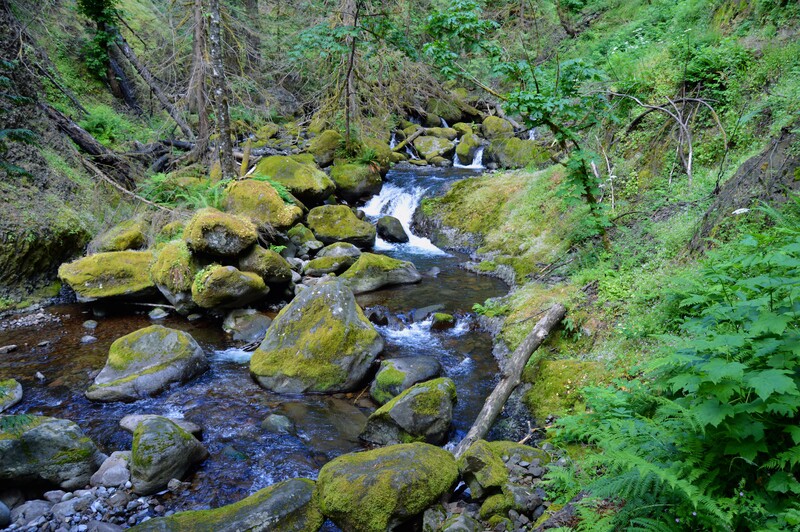
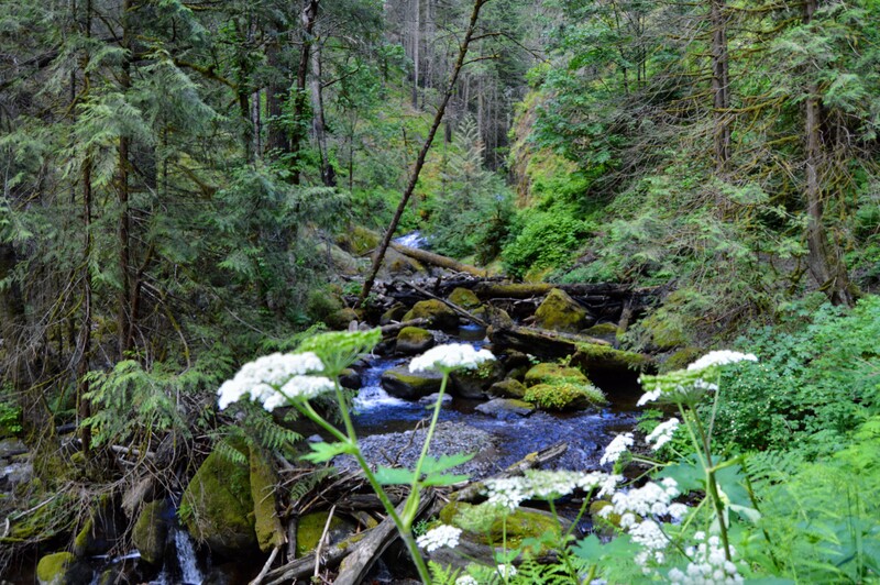
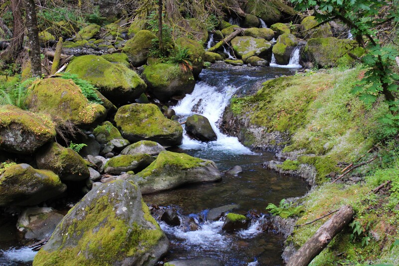
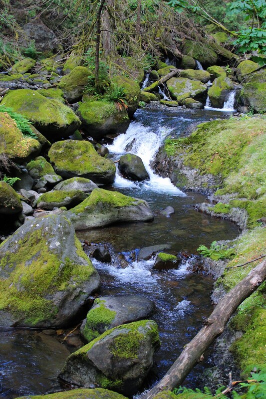
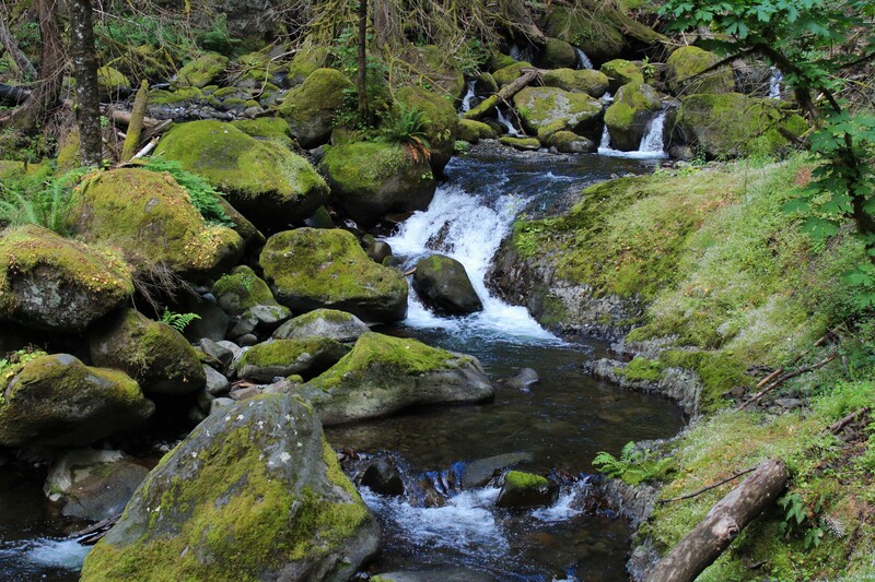
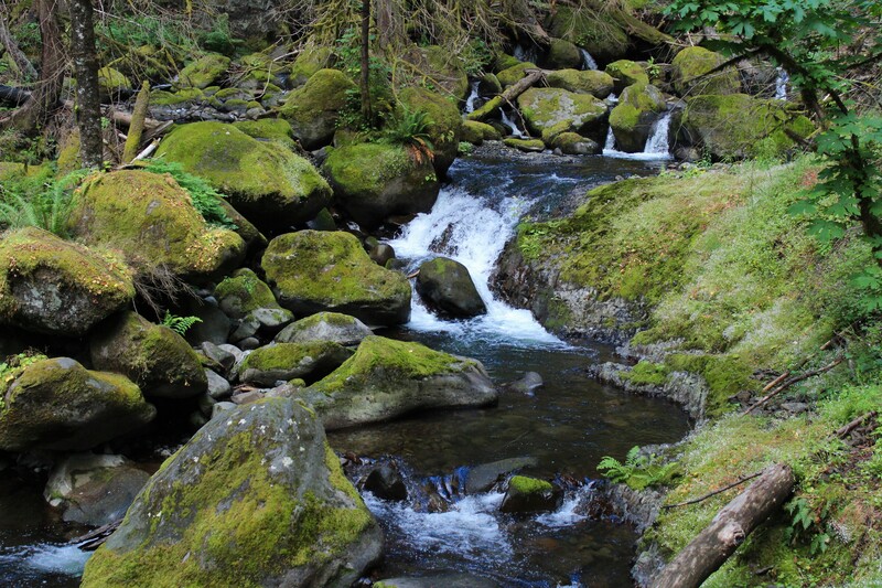
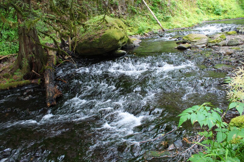
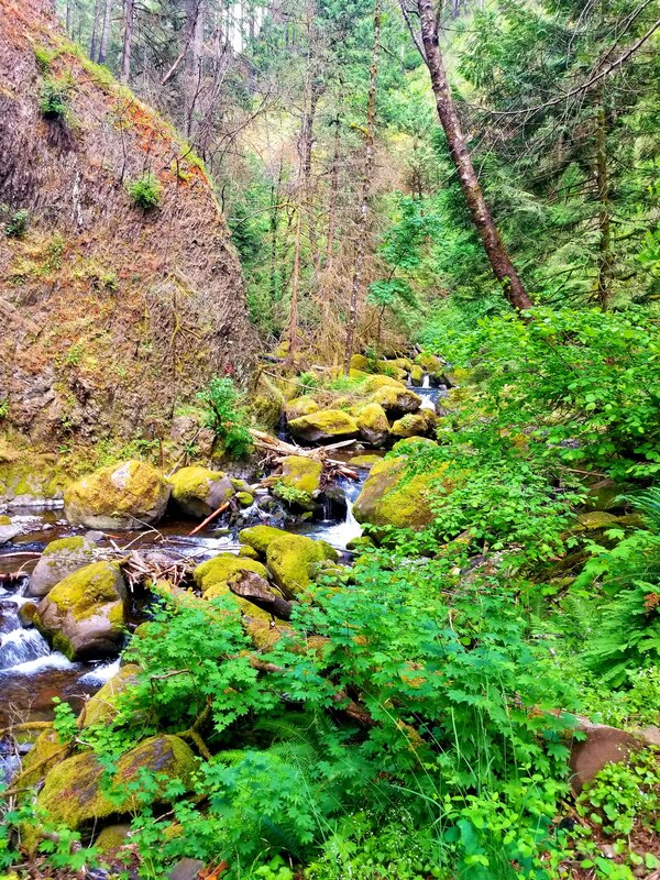
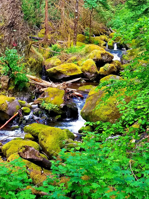
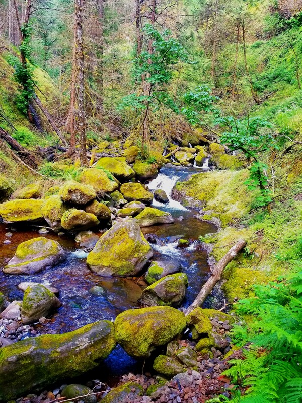
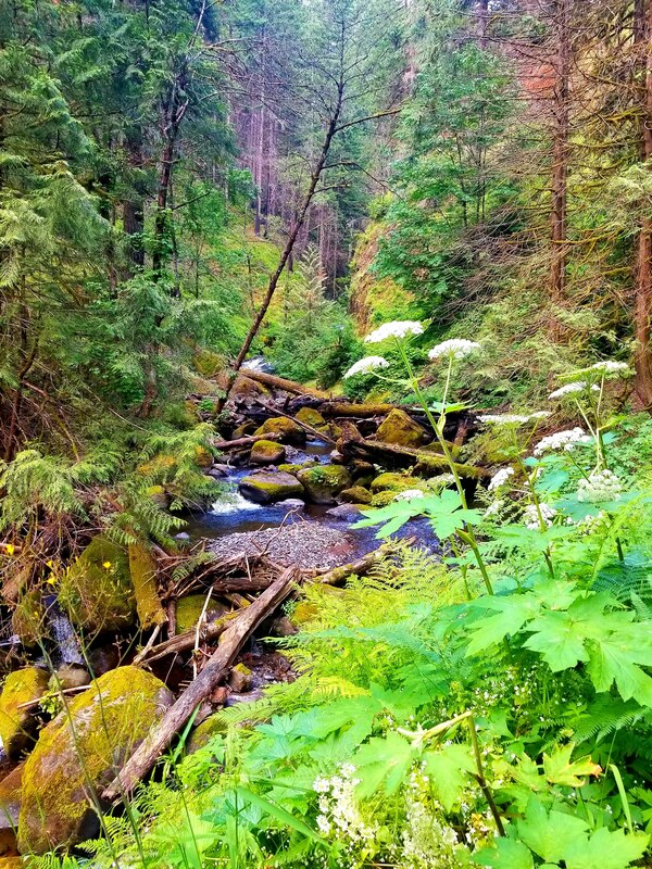
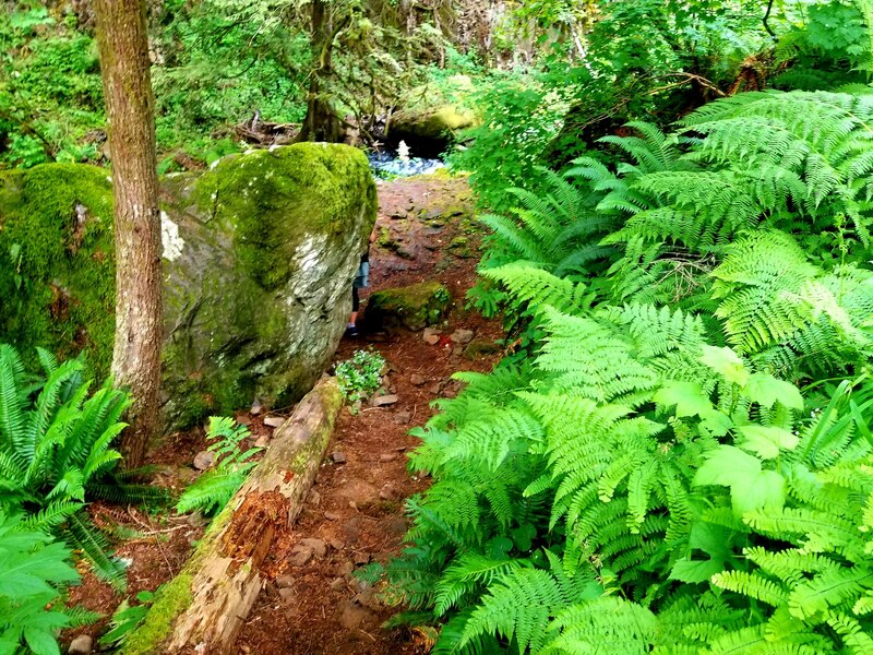
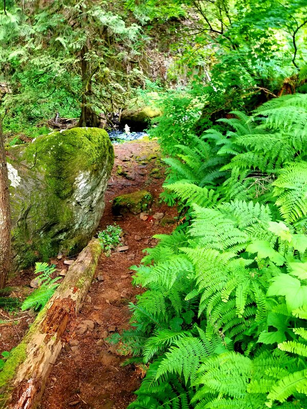
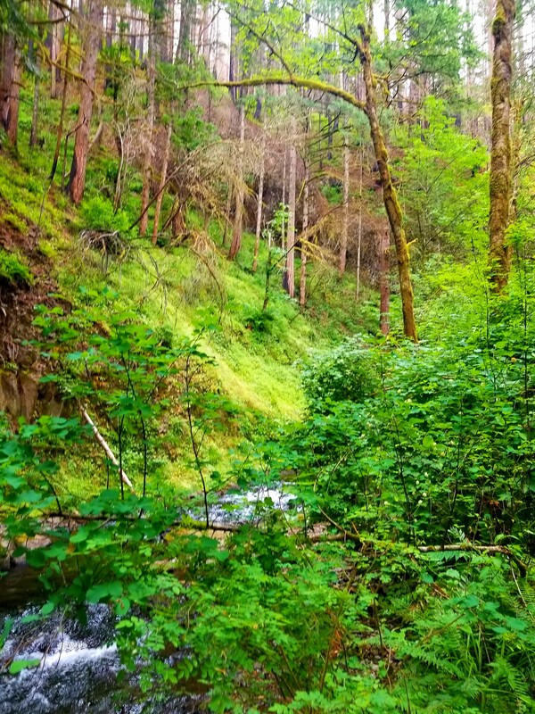
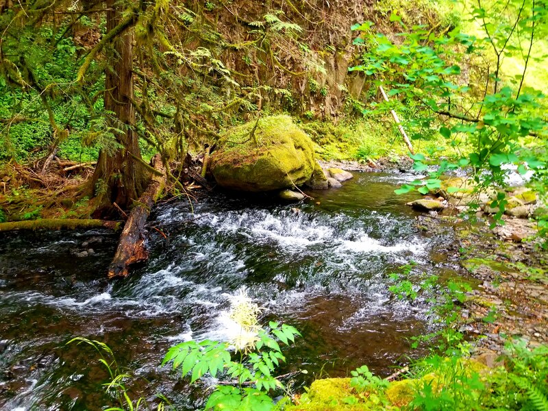
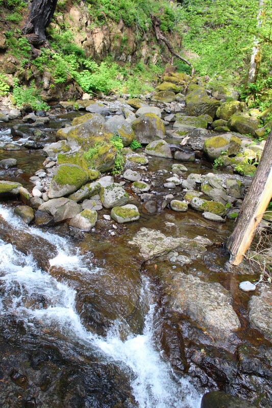
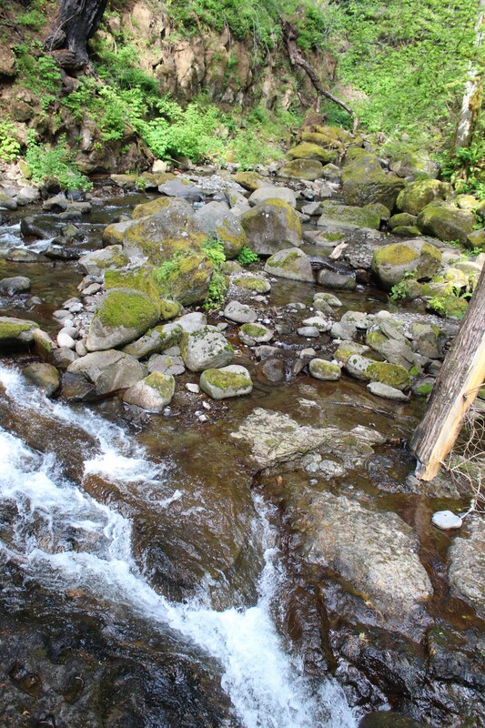
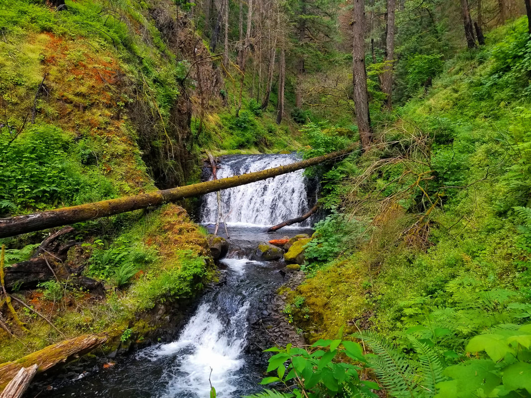
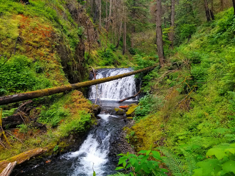
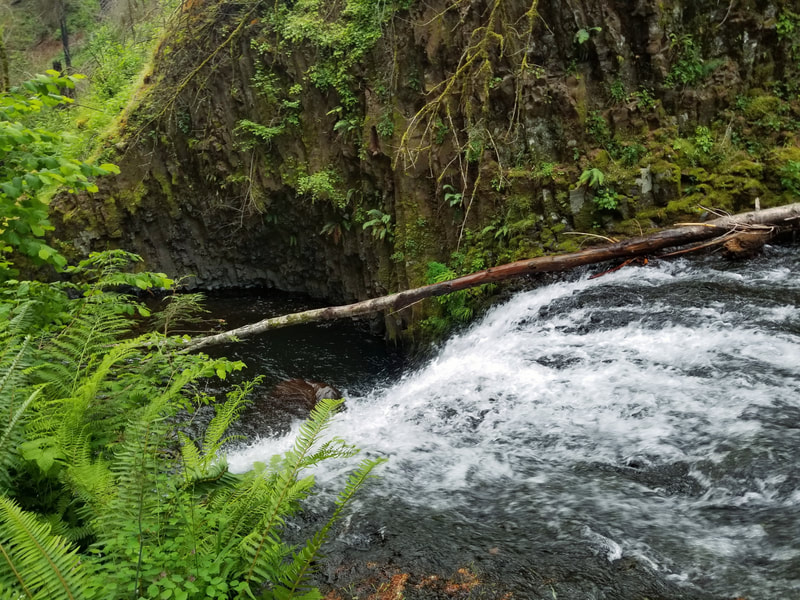
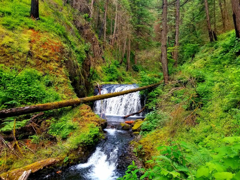
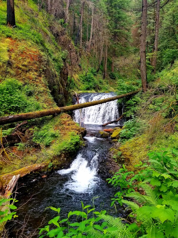
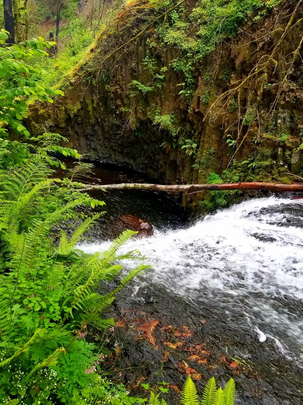
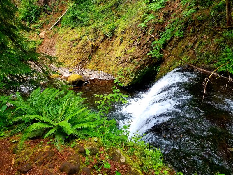
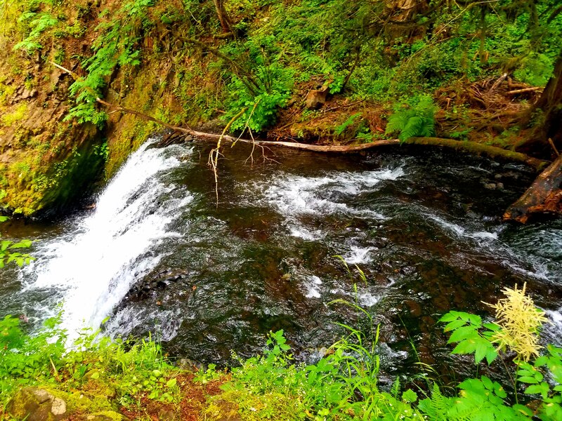
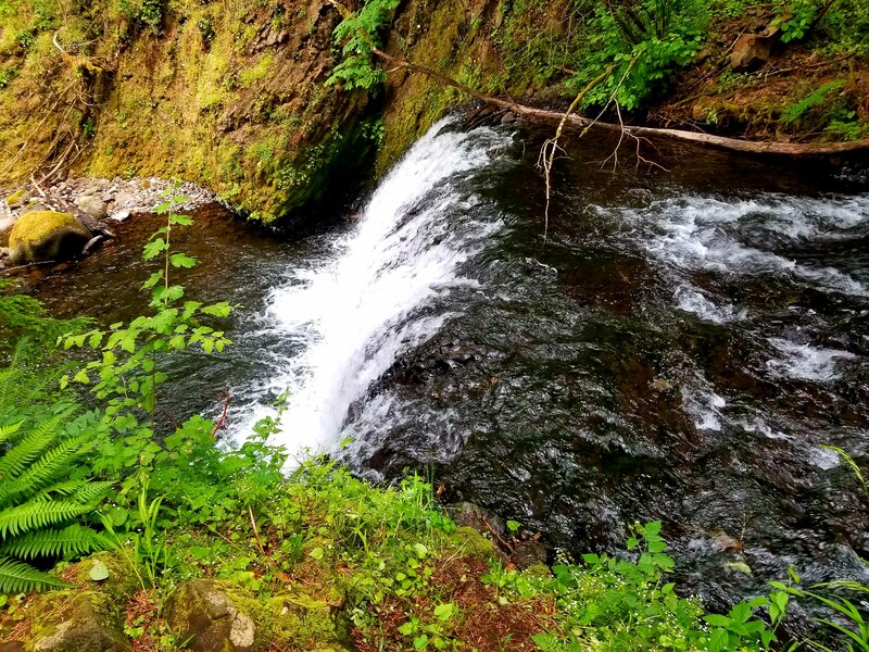
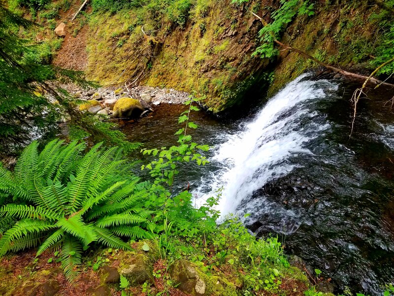
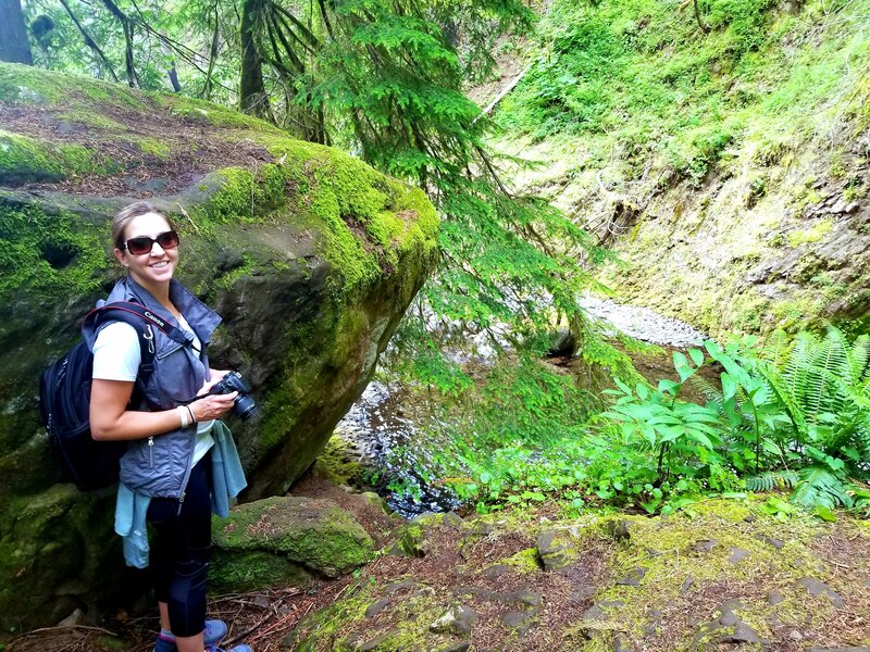
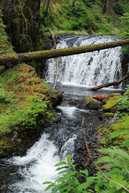
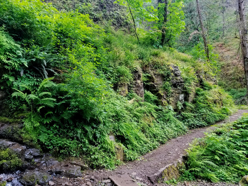
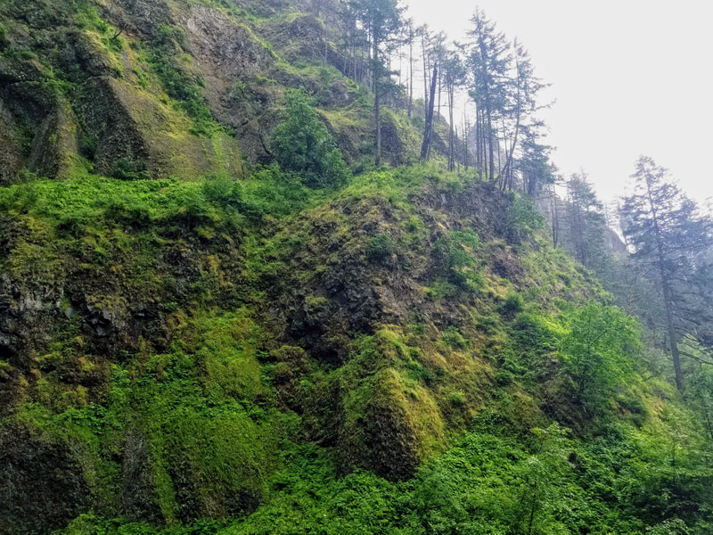
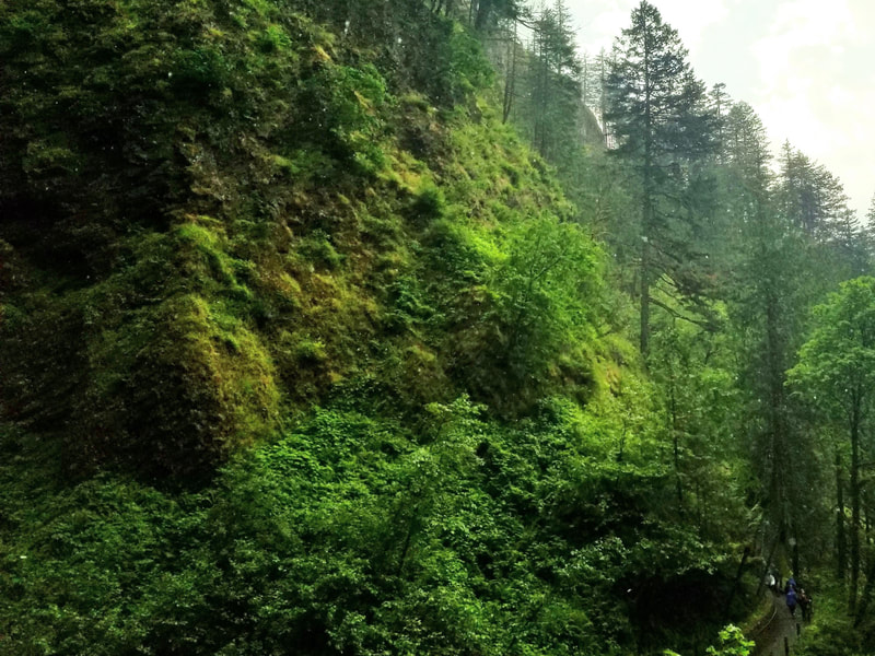
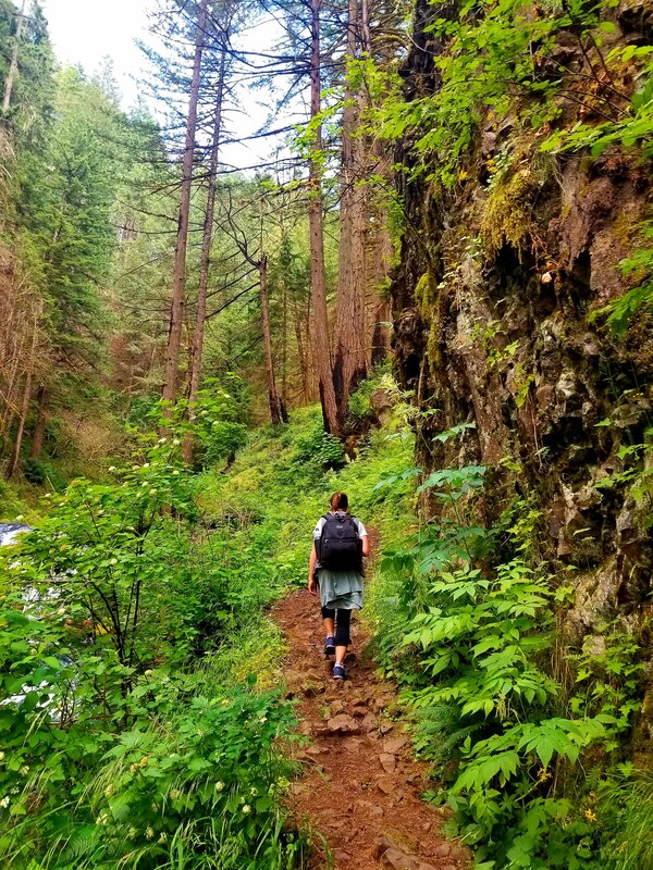
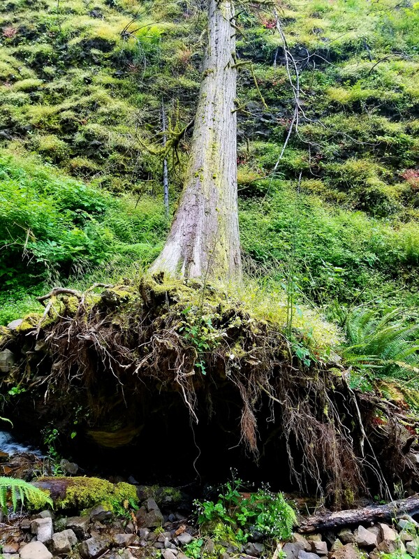
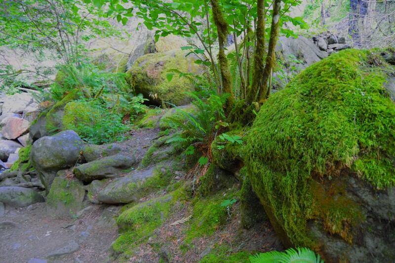
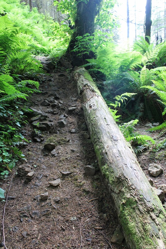
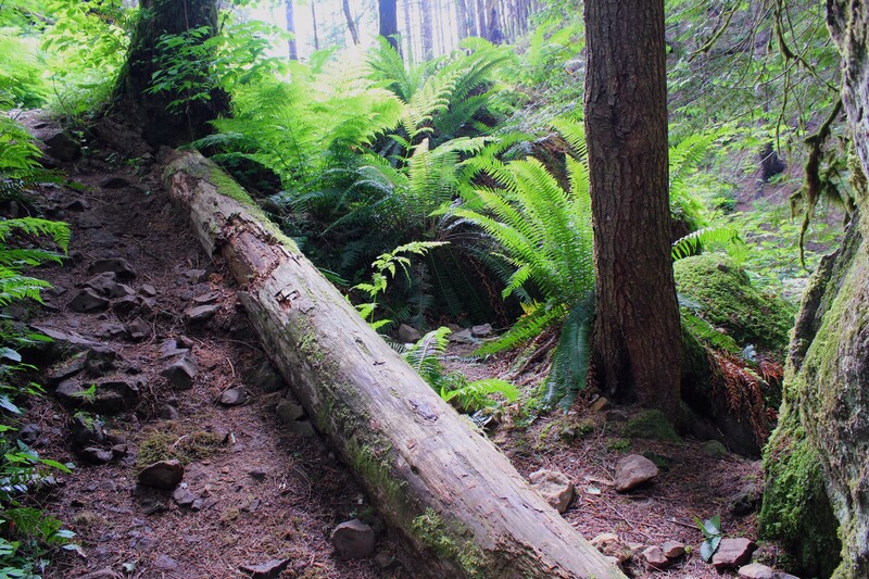
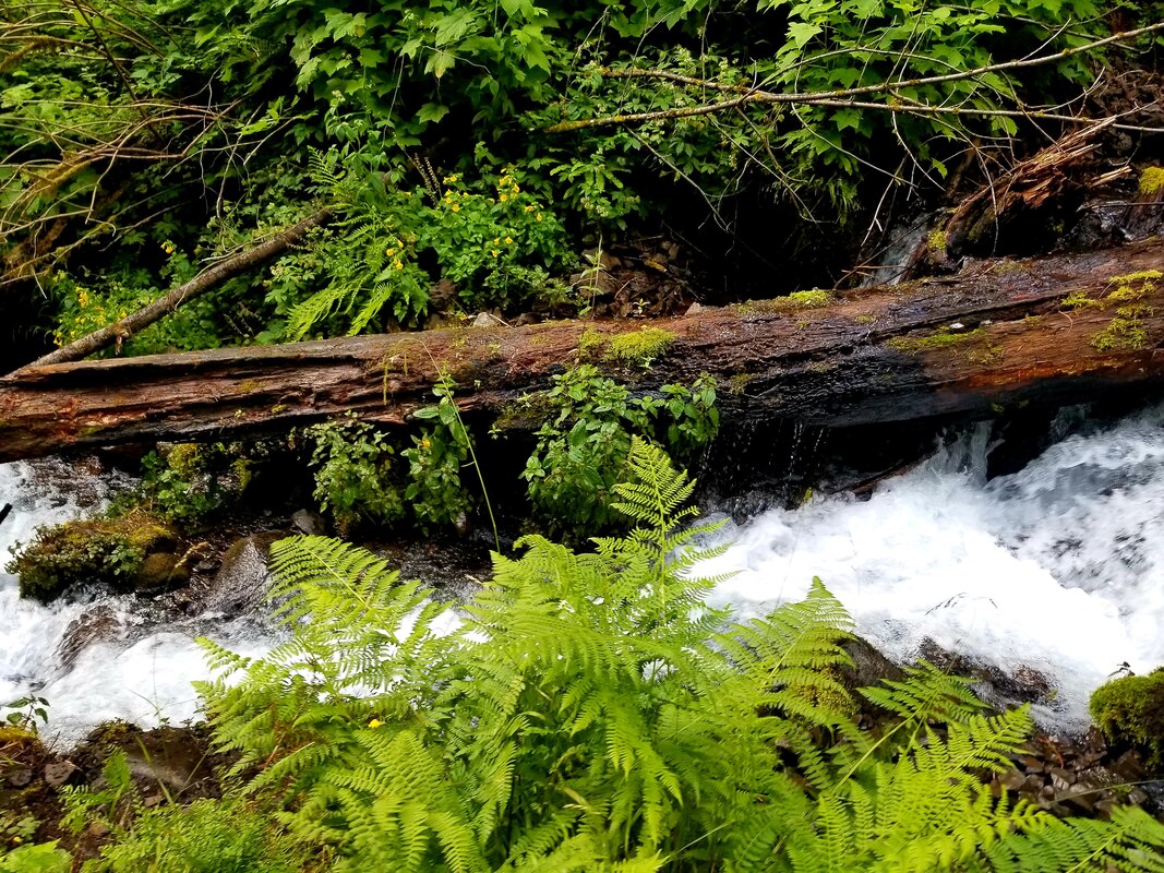
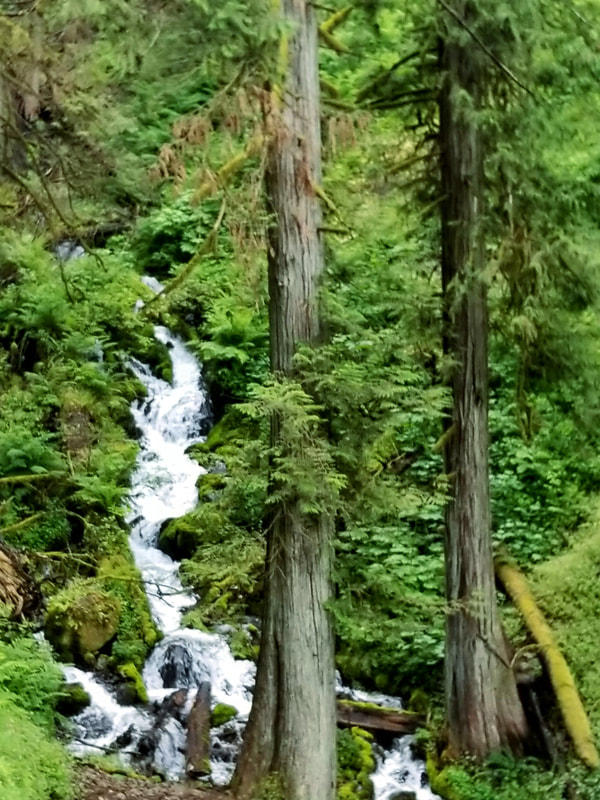
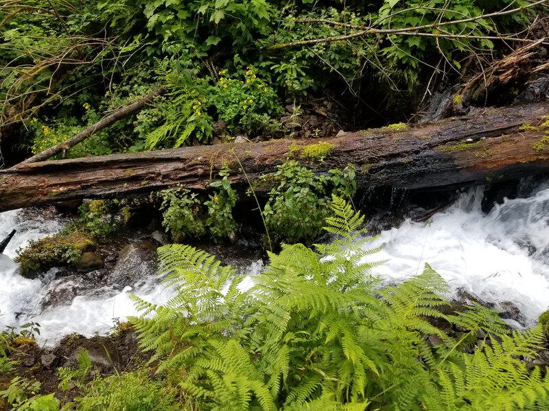
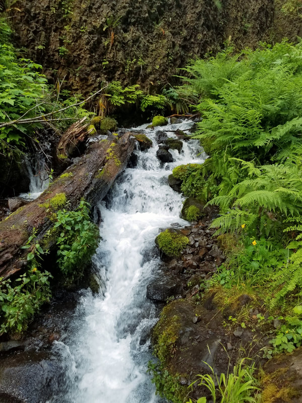
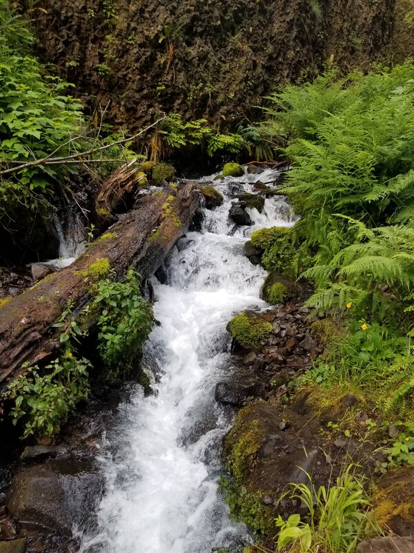
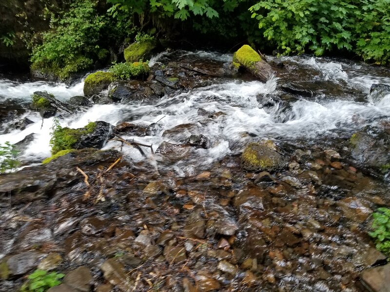
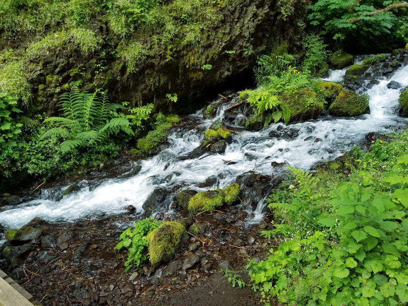
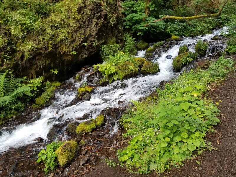
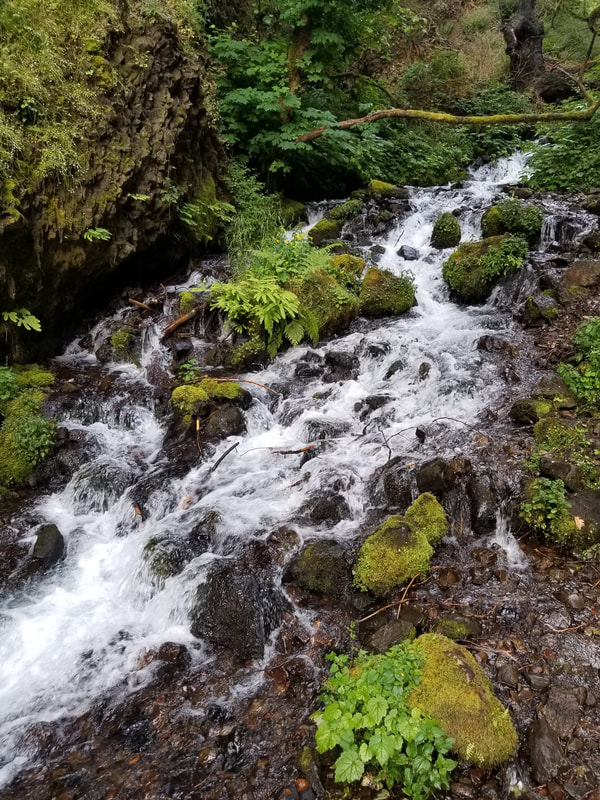
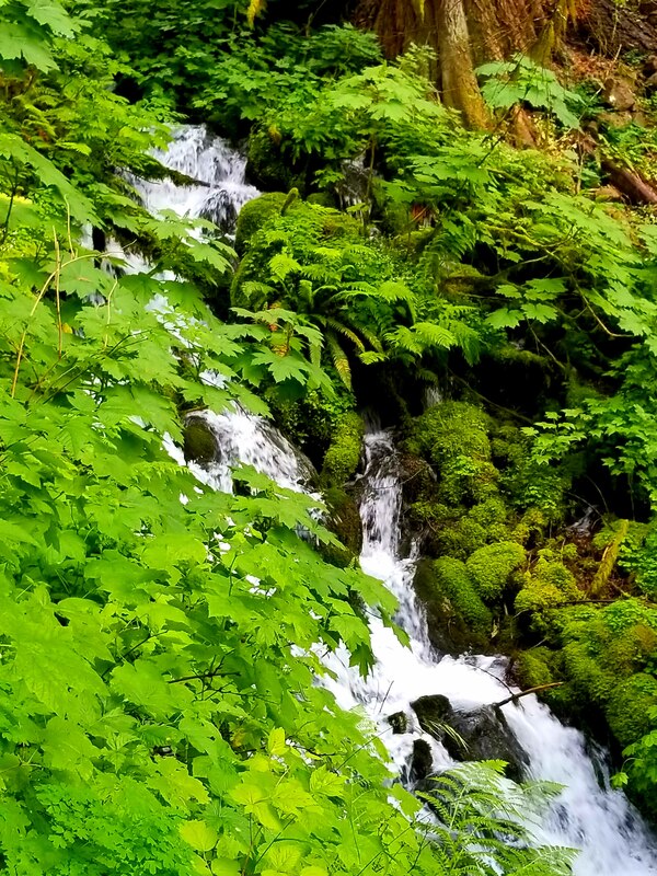
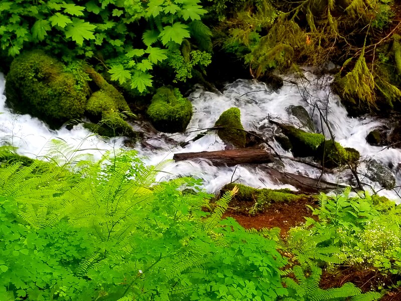
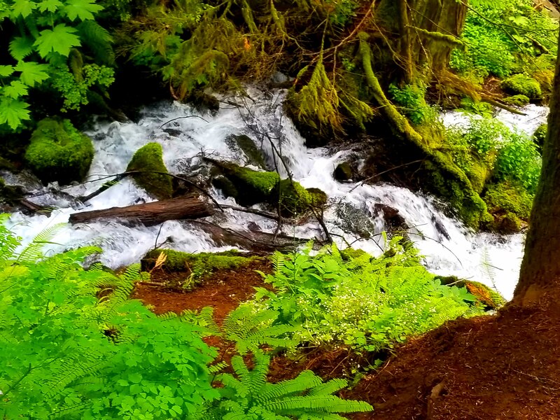
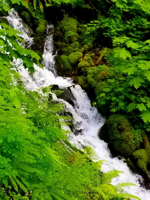
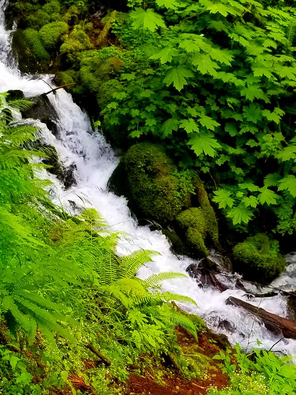
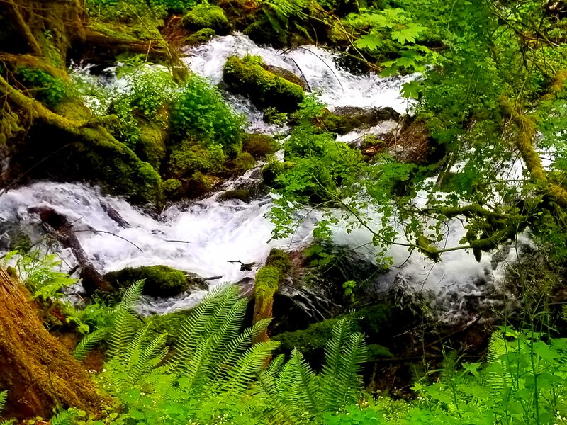
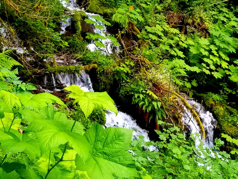
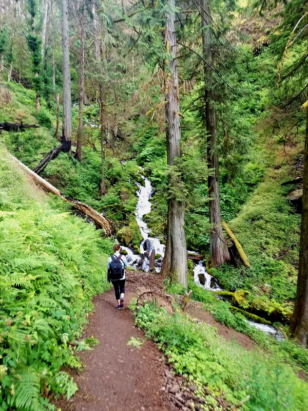
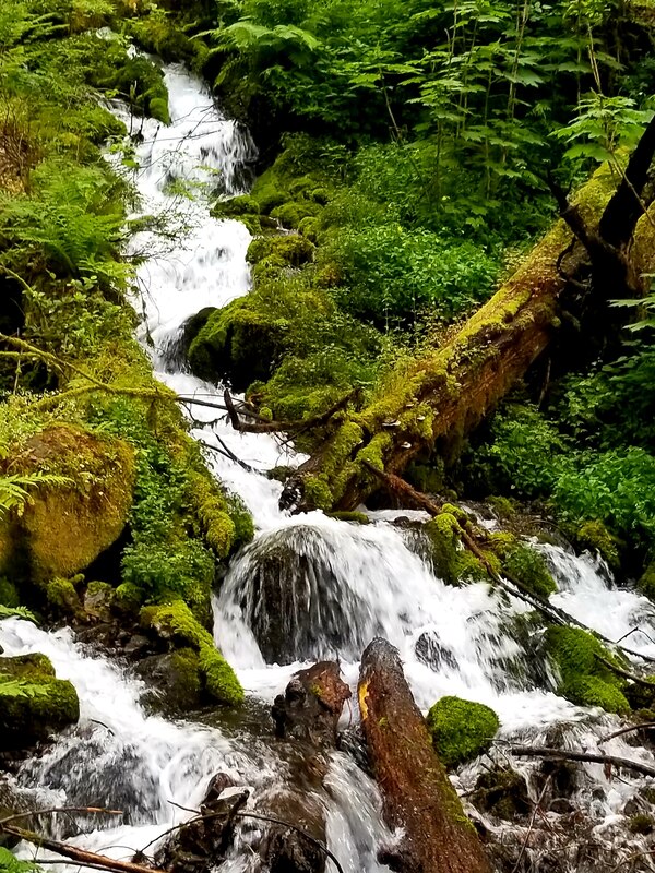
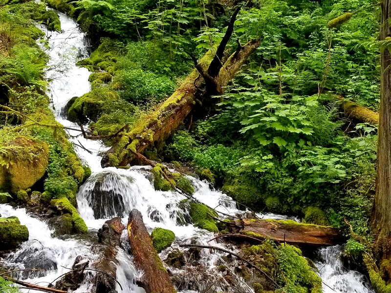
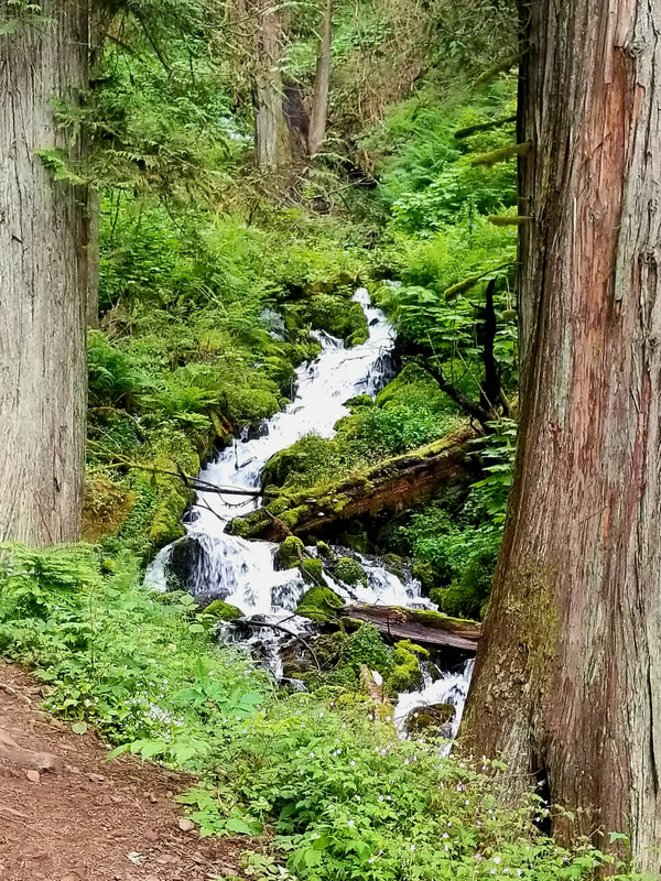
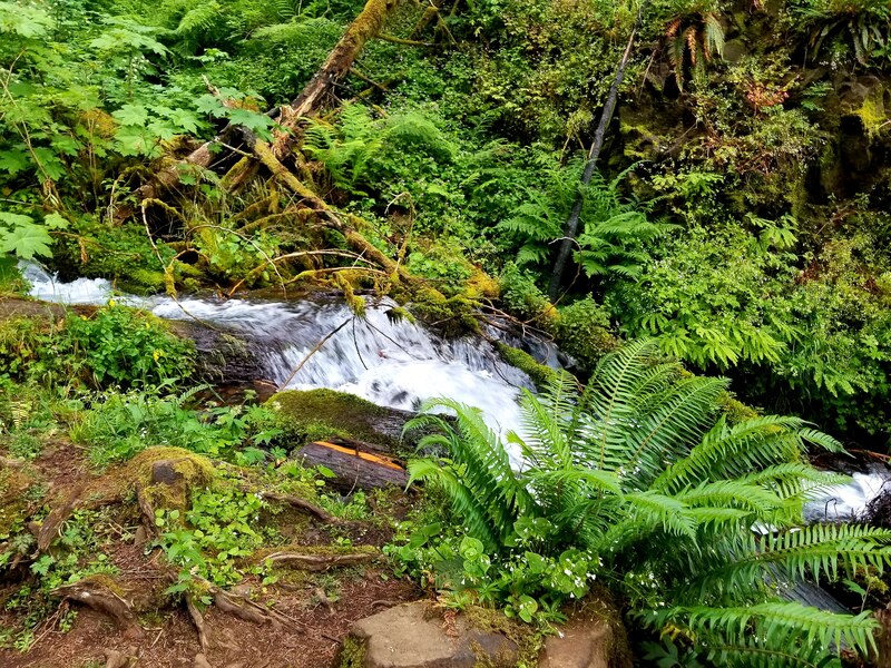
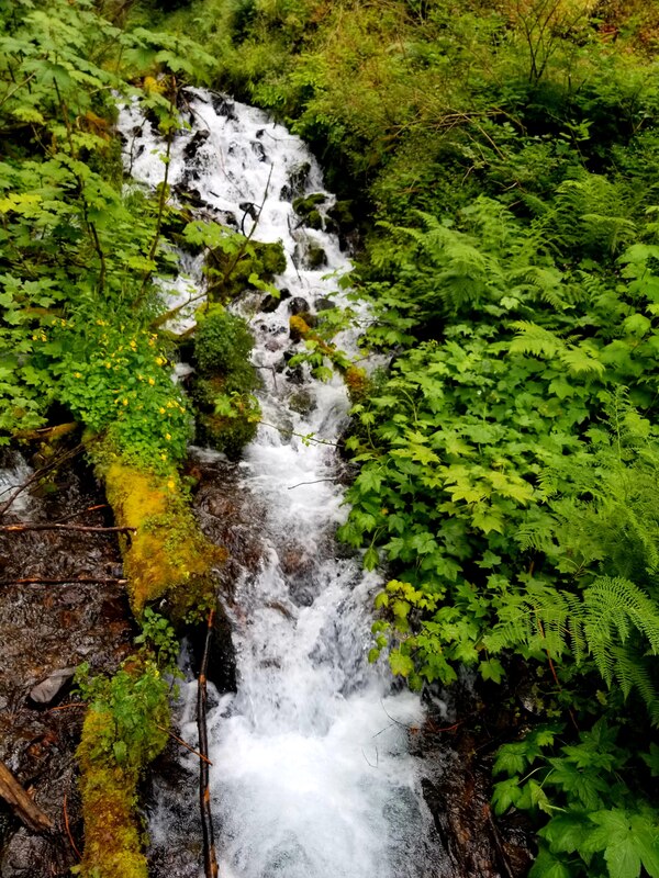
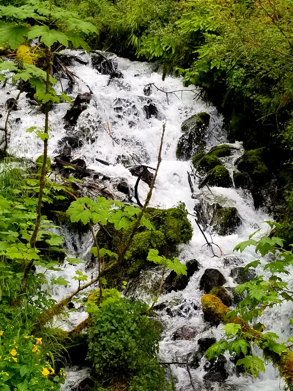
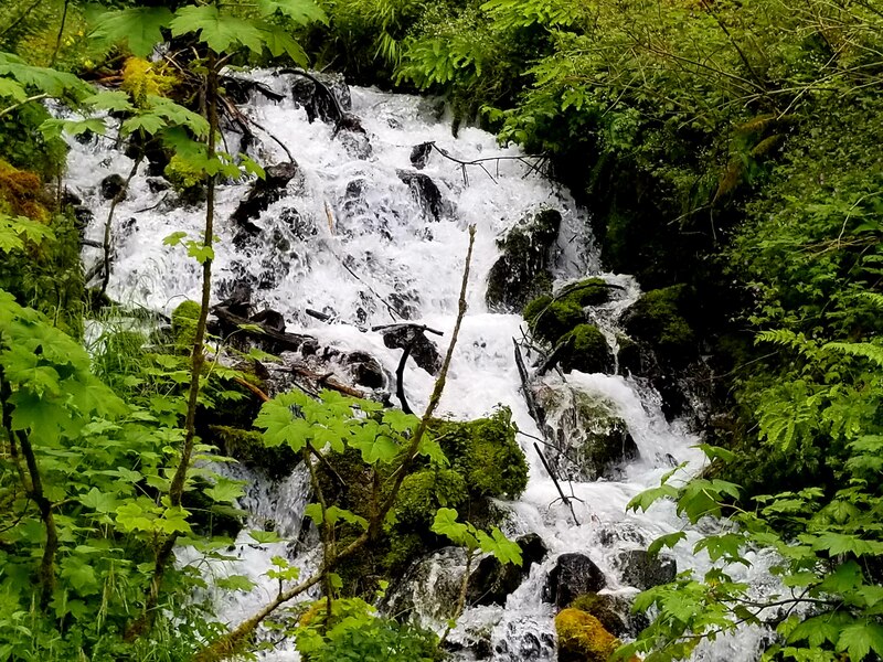
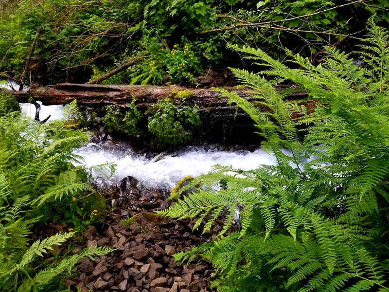
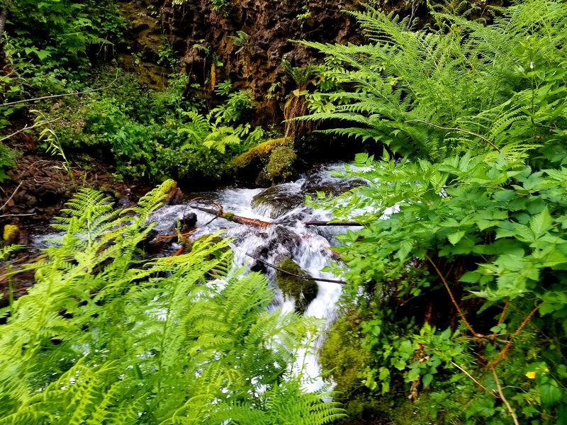
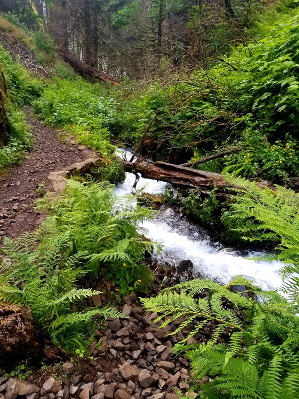
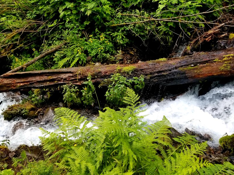
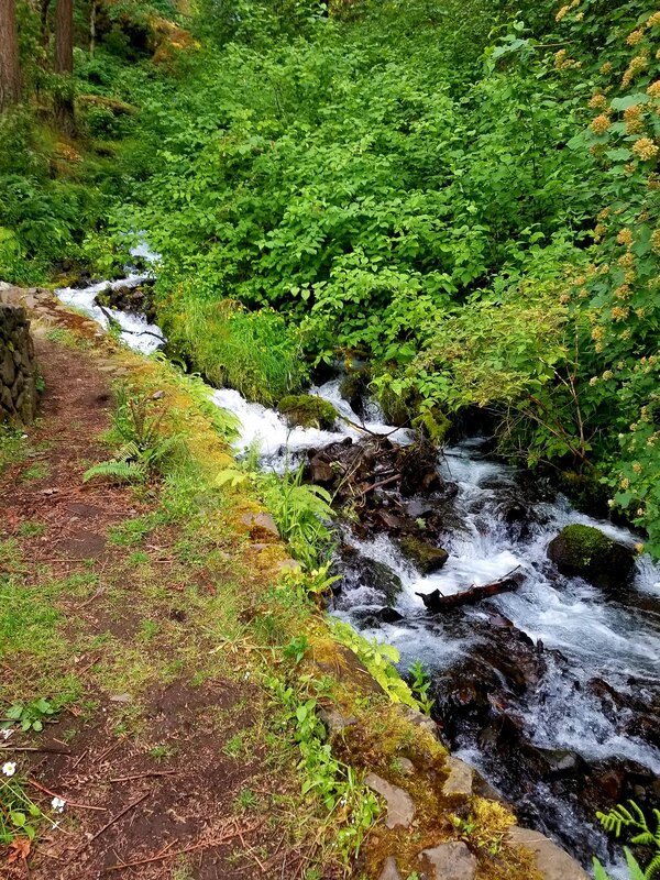
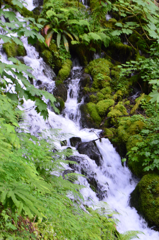
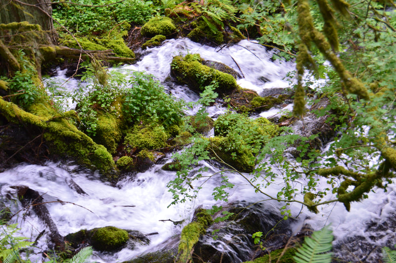
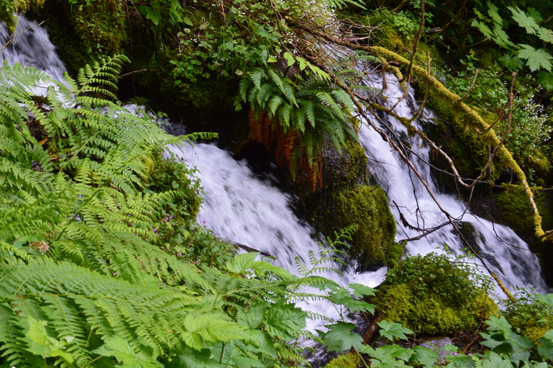
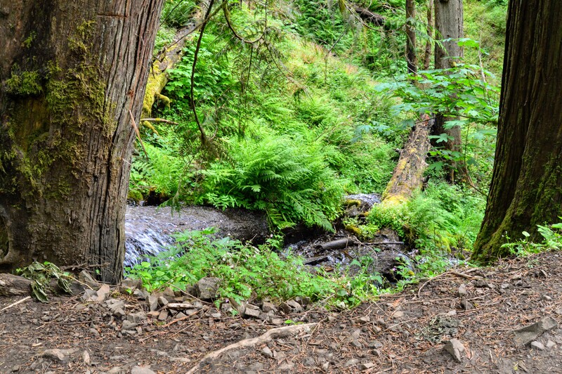
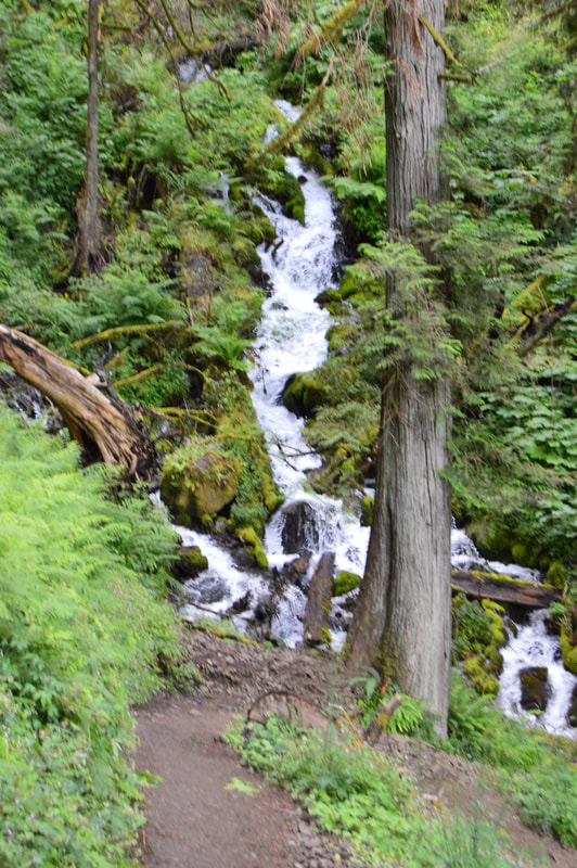
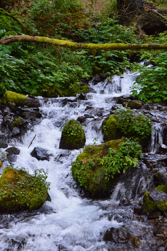
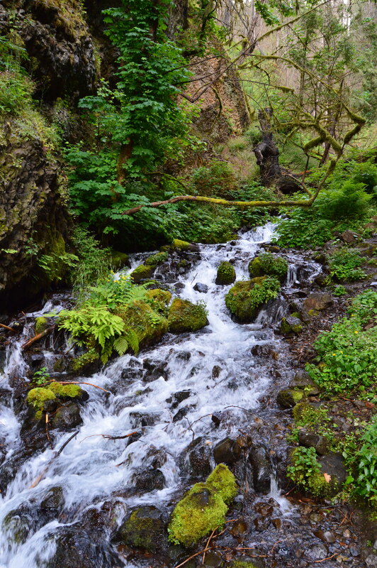
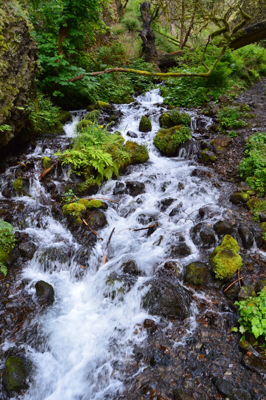
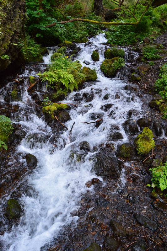
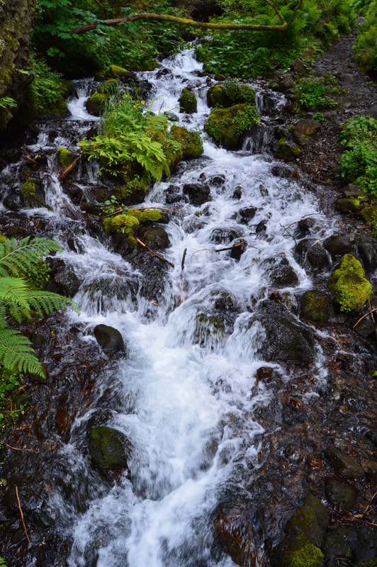
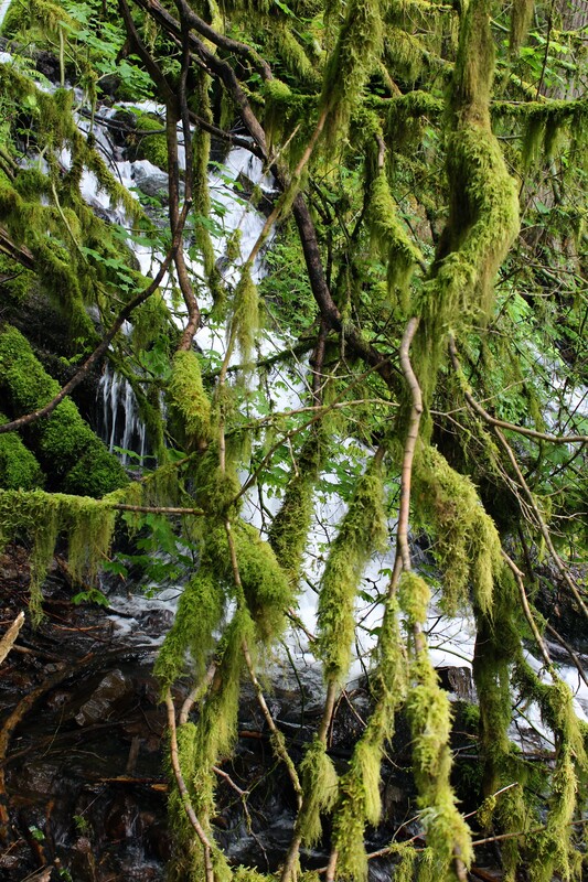
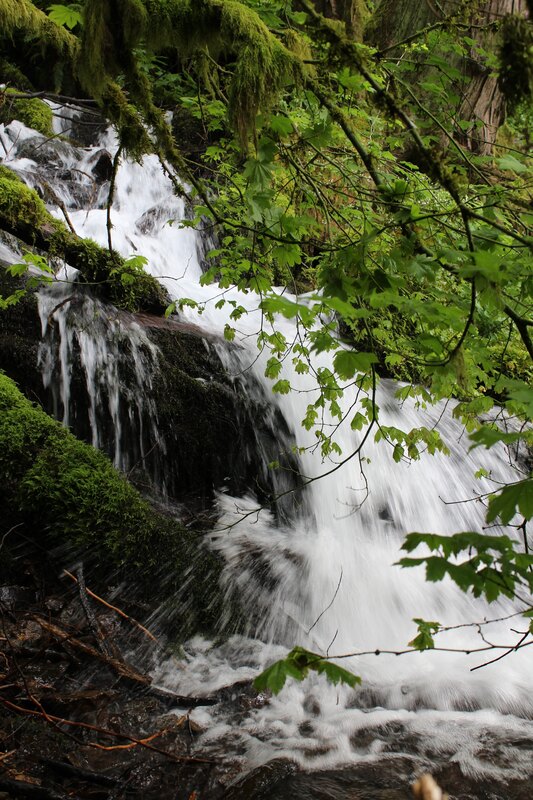
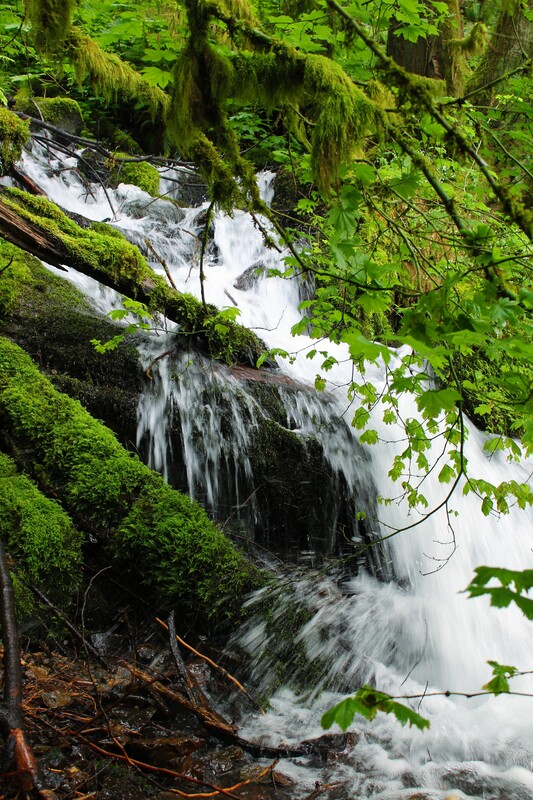
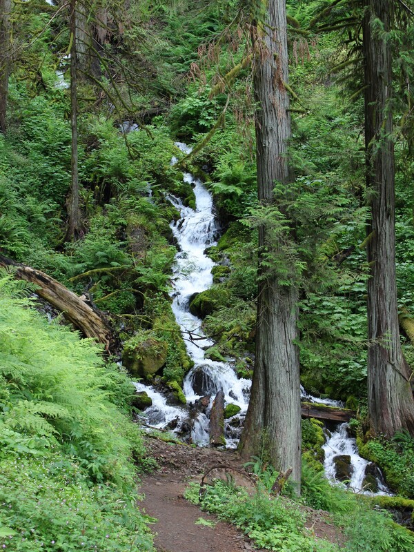
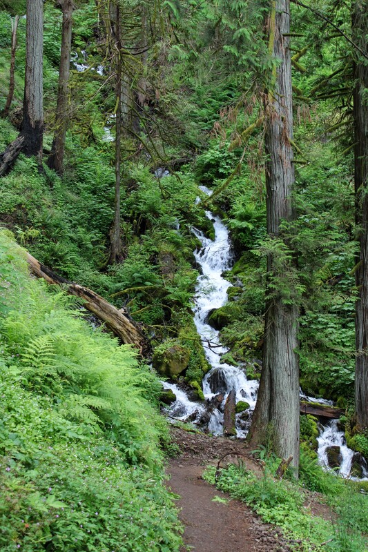
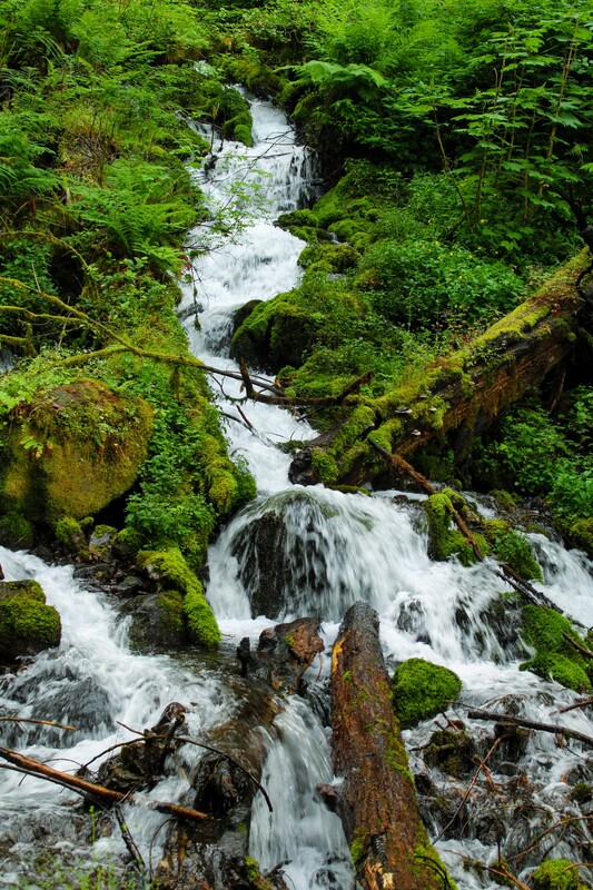
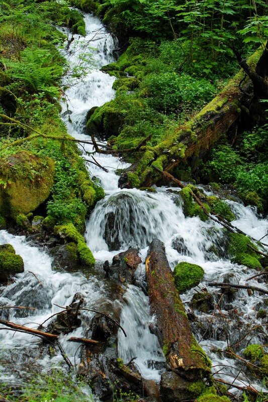
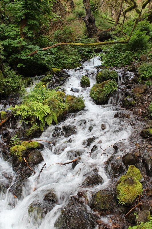
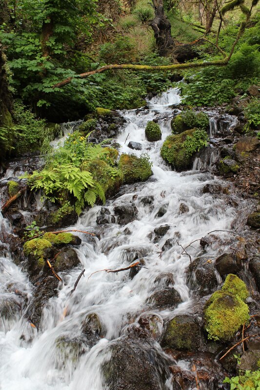
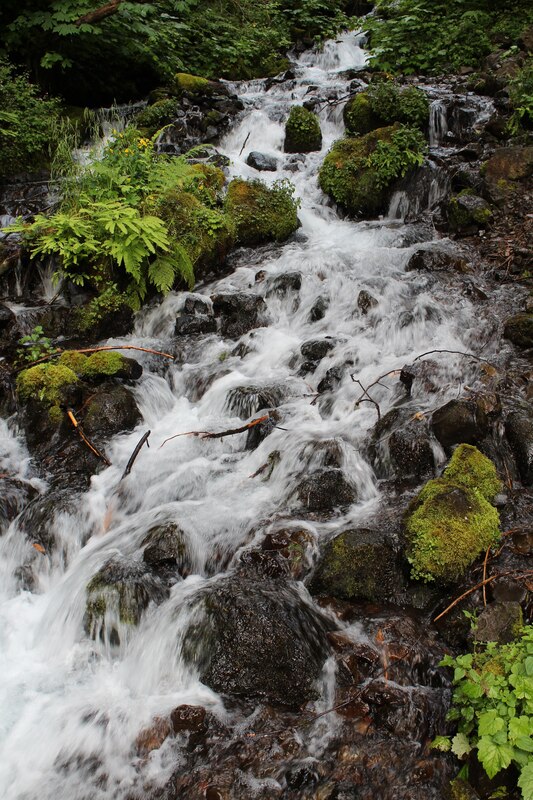
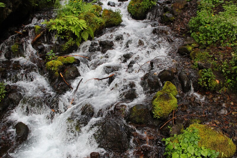
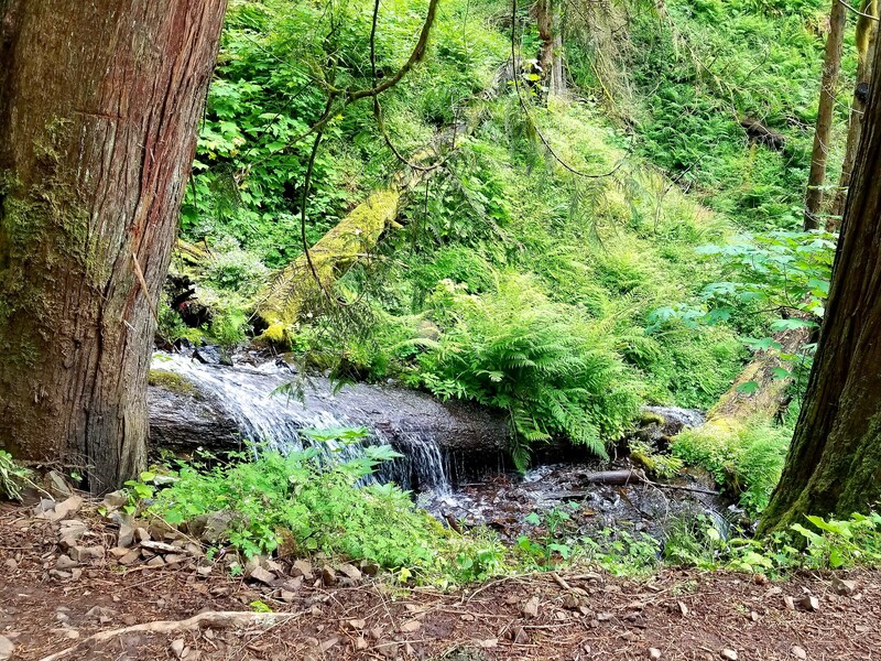
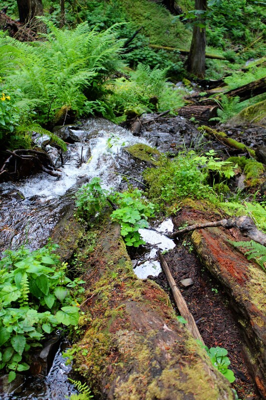
The trail follows Multnomah Creek until you reach the Wahkeena Trail. This creek changed speeds often as it wound through the forest. It was slow and brook-like in some places and sweeping and fast flowing in others. It was cloudy and overcast and had rained earlier in the day. The colors were so vivid. It was cool and the water spray from the falls made this portion of the trail an easy hike.
Our family owns land in a small town in Alabama. There is a creek there that I though of as we hiked next to Multnomah Creek. As a kid, I used to lay on a huge rock in the middle of the creek and used my jacket as a pillow. I took naps on that rock all the time! Even though parts of this creek relaxed me into my memories of that creek, I did not feel sleepy here. I felt at ease, but so excited to be experiencing the magnificence of this forest.
Click on each picture below to enlarge the picture and view the whole photo.
DUTCHMAN FALLS
Multnomah to Wahkeena Falls Loop
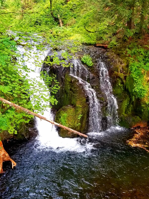
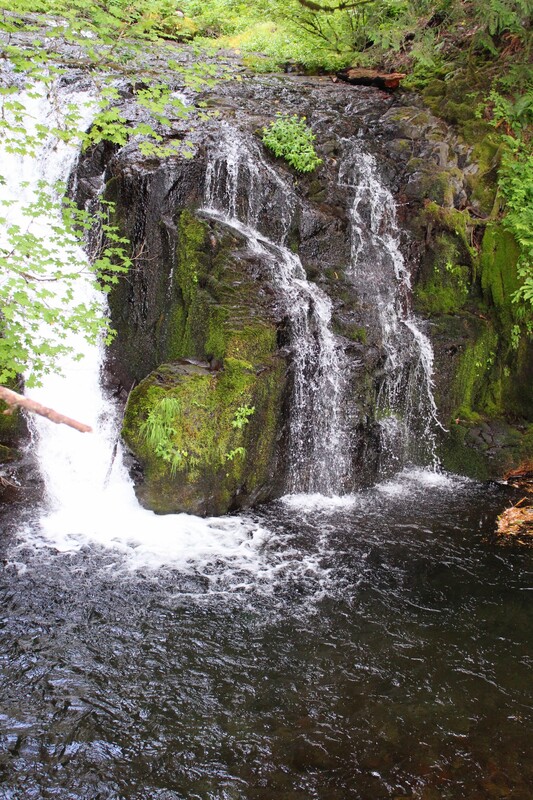
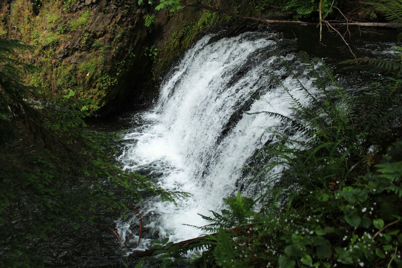
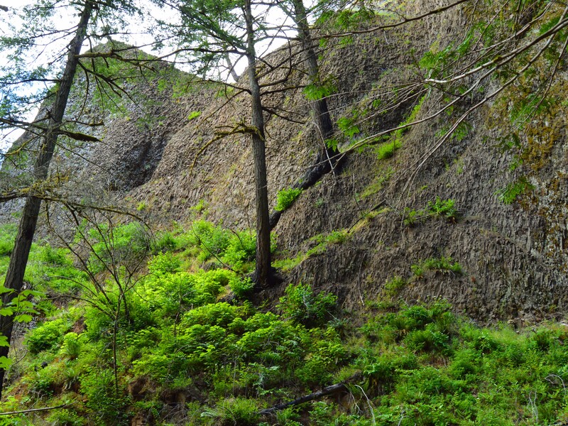
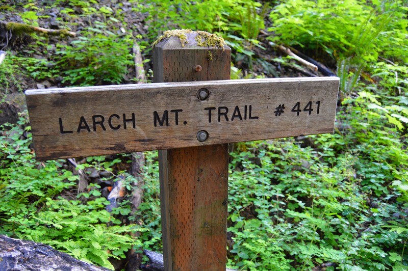
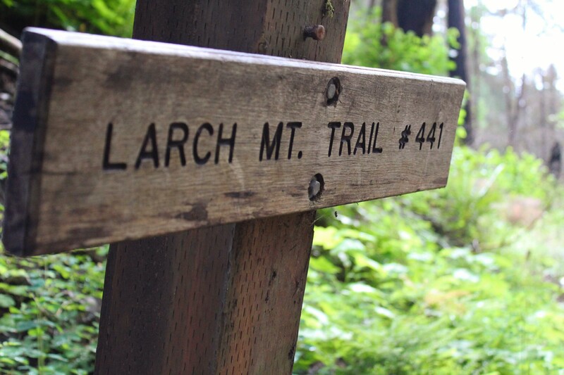
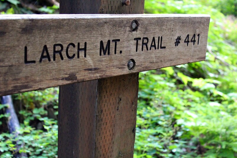
Dutchman Falls was a lovely surprise. It was the first waterfall we saw after Multnomah Falls. Though it was not nearly as tall of large as Multnomah Falls, it was a gorgeous sight. Dutchman Falls is a block waterfall. A block waterfall pours over a wide section of a stream. Dutchman Falls is located at Upper Multnomah Creek, 1.7 miles into the Multnomah to Wahkeena Loop, on the Larch Mountain section of the trail.
Click on each picture below to enlarge the picture and view the whole photo.
WEISENDANGER FALLS
Multnomah to Wahkeena Falls Loop
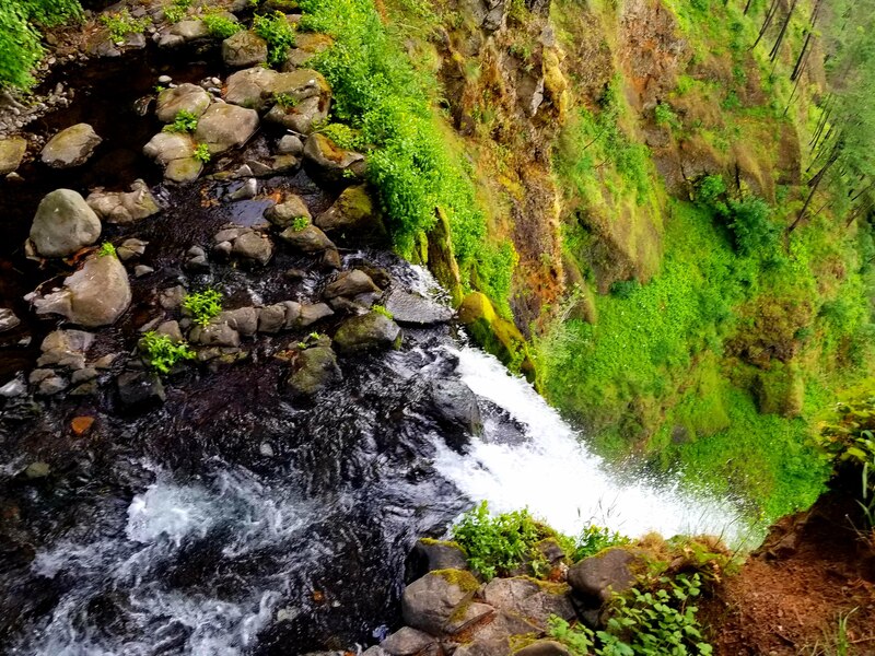
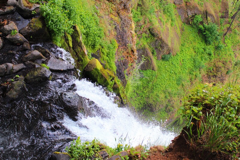
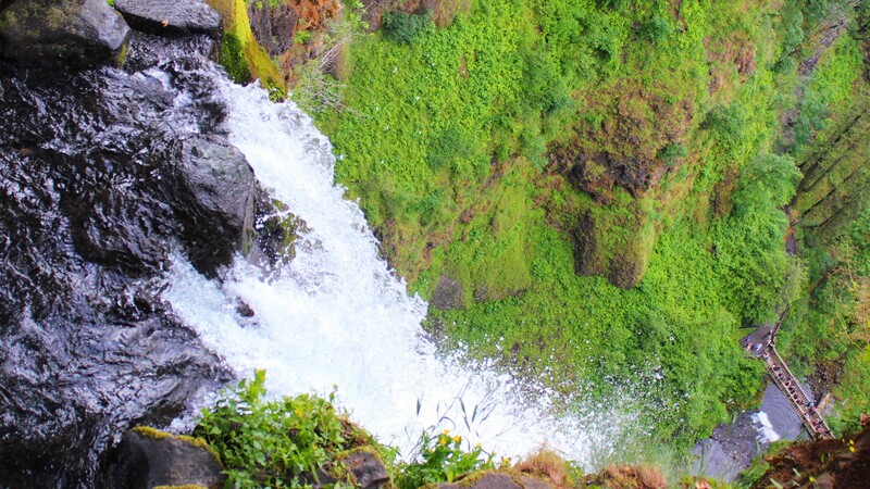
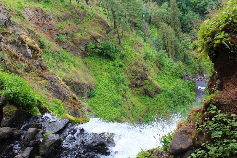
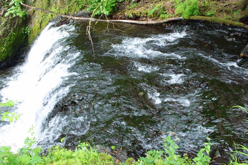
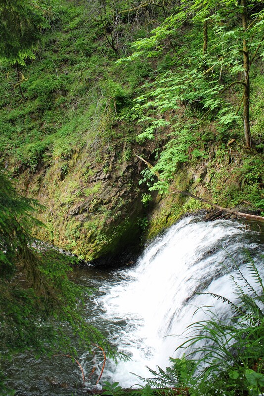
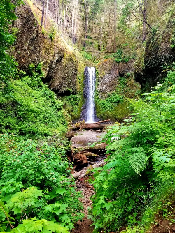
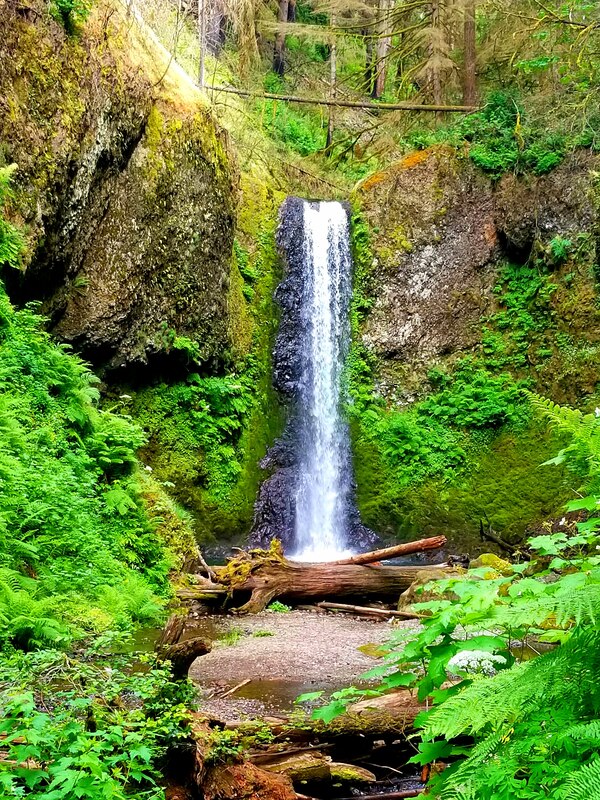
Weisendanger Falls is a 50 foot tall plunge waterfall. Plundge waterfalls drop vertically and away from a cliffside, away from contact with bedrock. Multnomah Falls is a classic example and so is Latourell Falls. Weisendanger Falls is located past Dutchman Falls on Multnomah Creek, 2.8 miles into the Multnomah to Wahkeena Loop, on the Larch Mountain section of the trail.
Click on each picture below to enlarge the picture and view the whole photo.
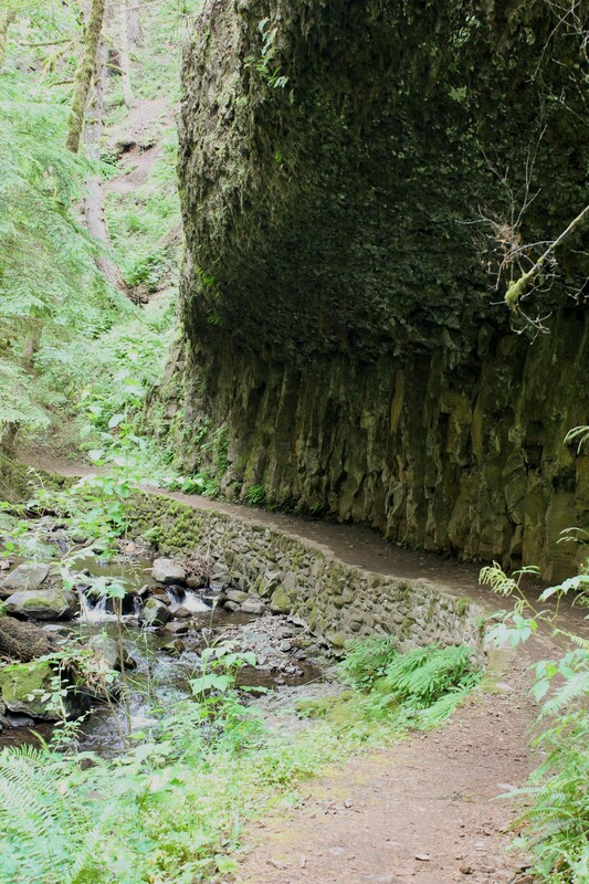
MULTNOMAH FALLS TO WAHKENNA FALLS TRAILWAY
Multnomah to Wahkeena Falls Loop
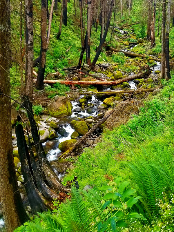
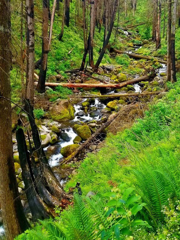
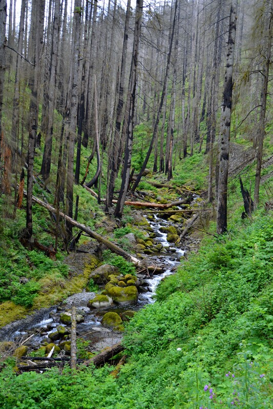
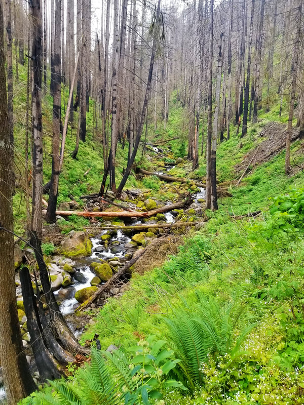
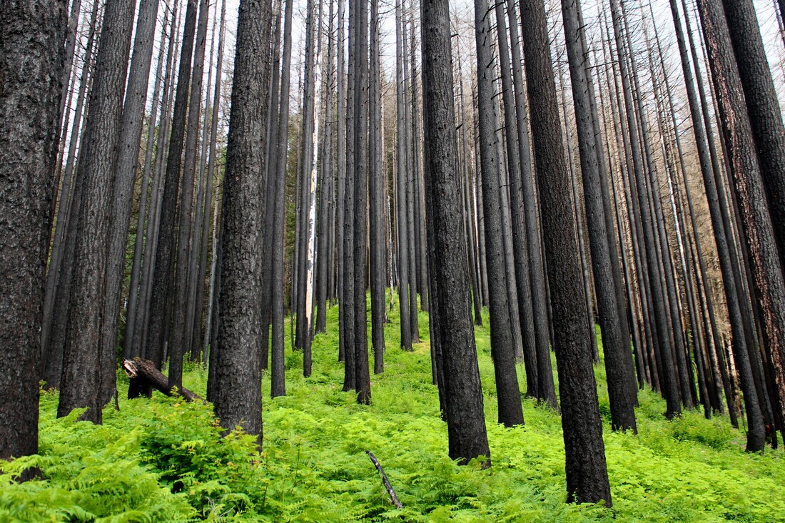
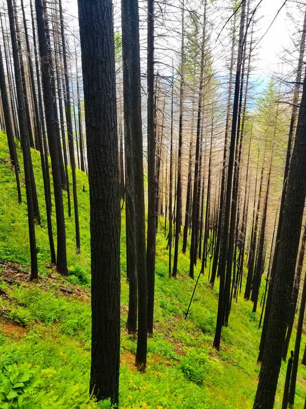
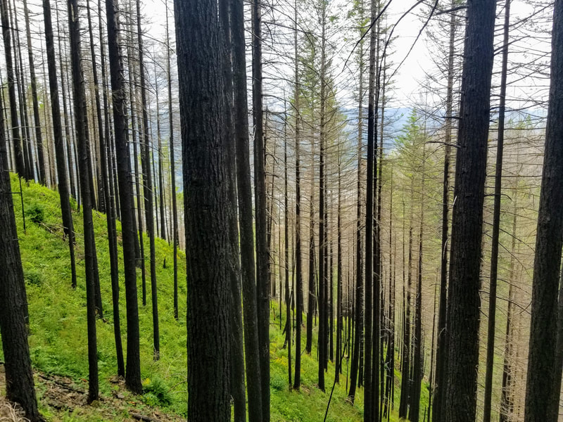
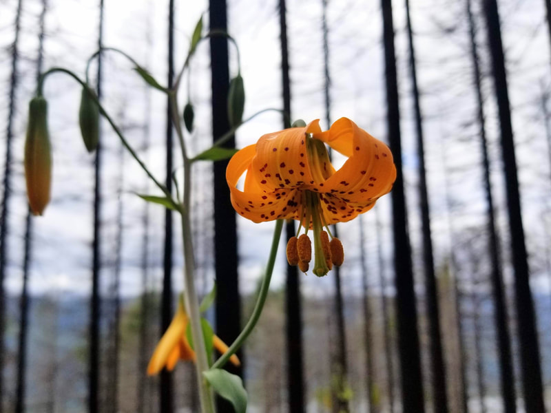
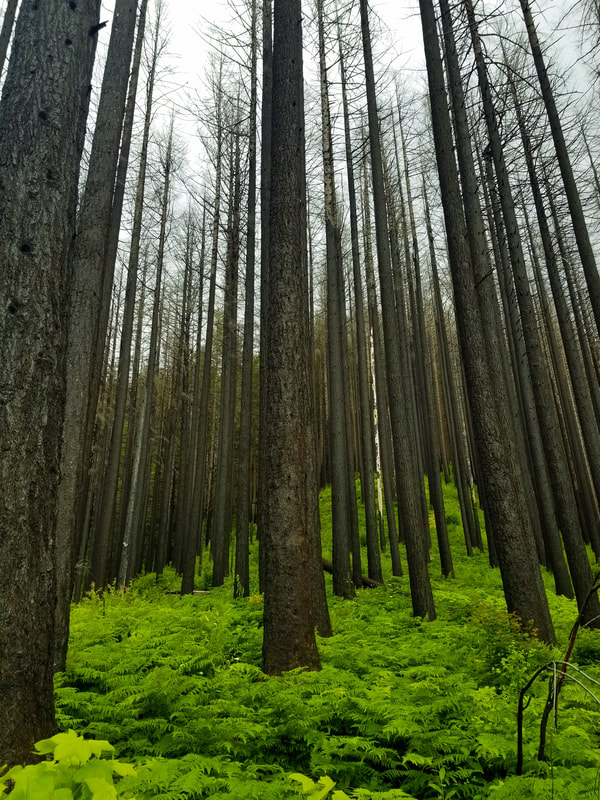
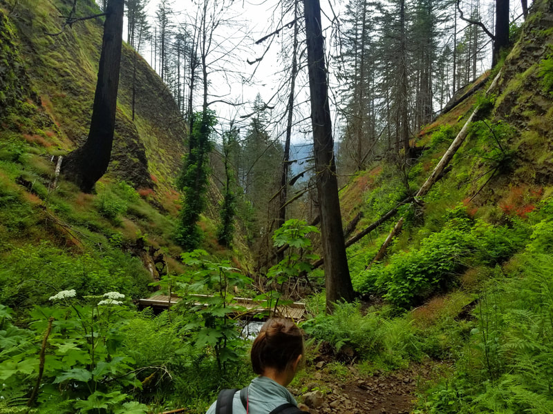
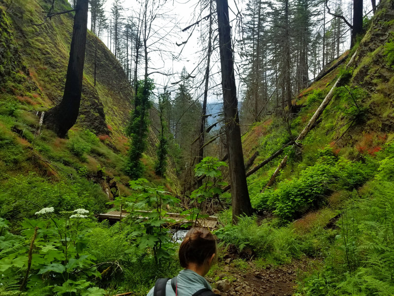
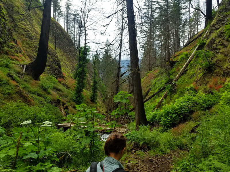
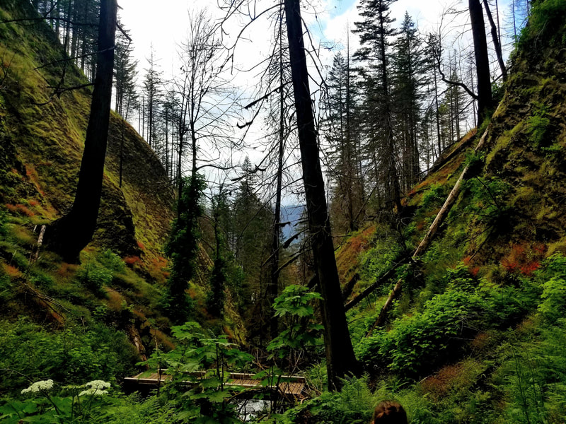
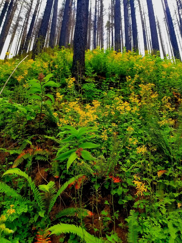
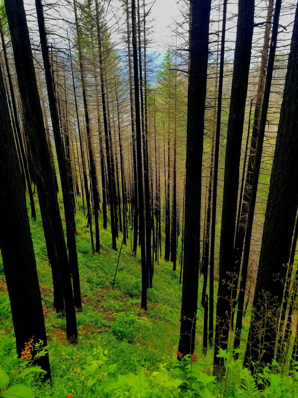
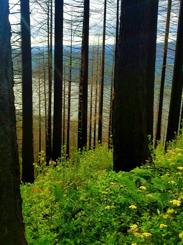
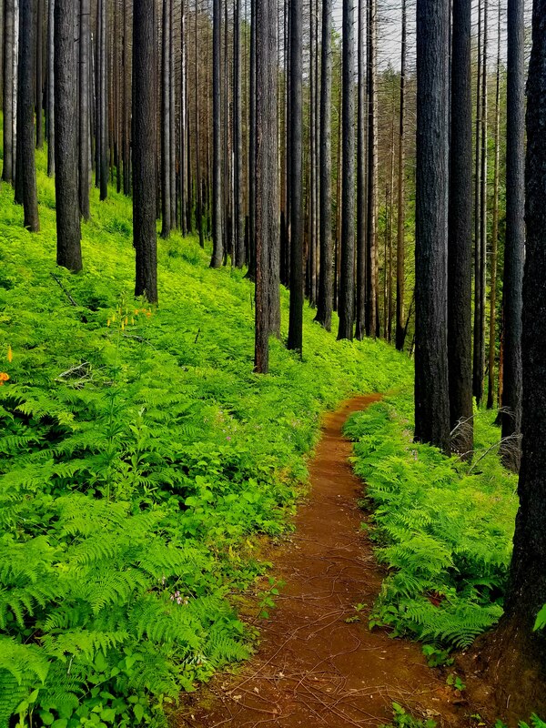
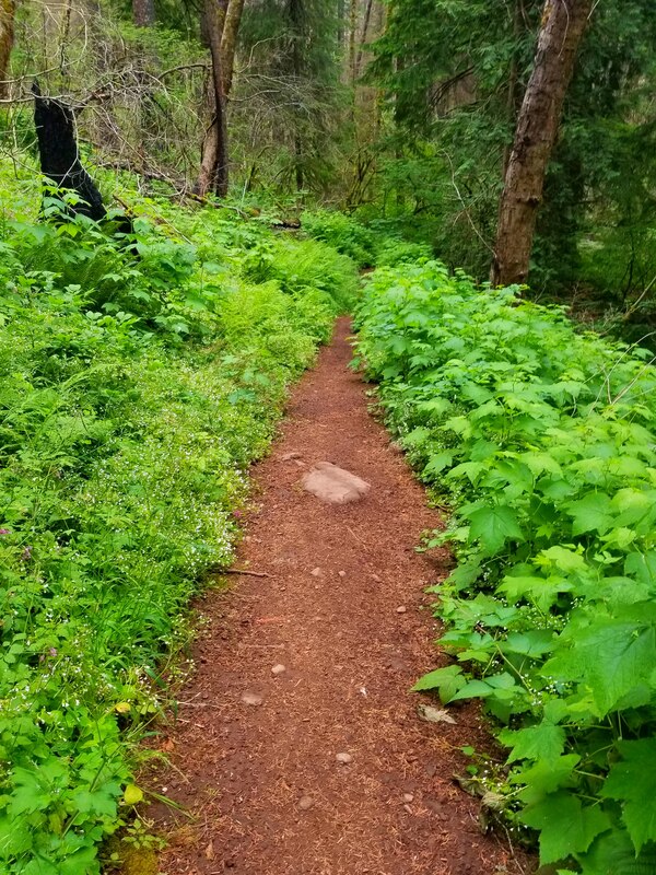
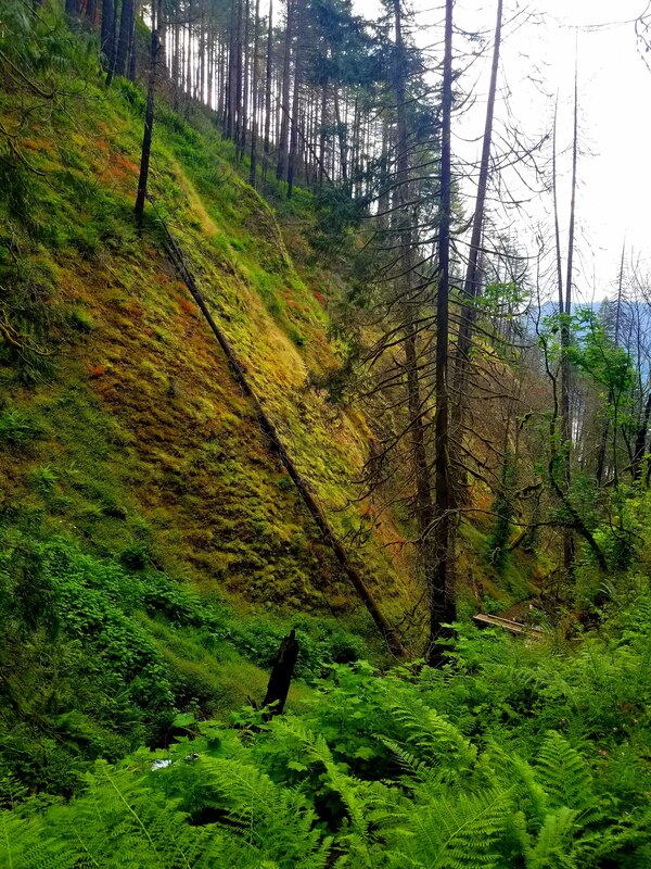
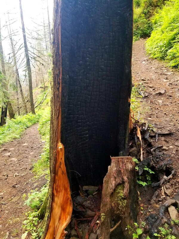
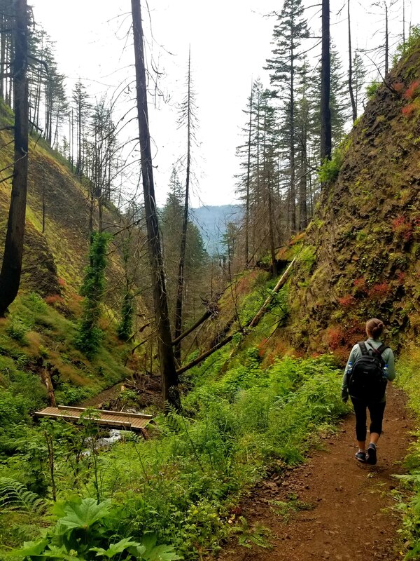
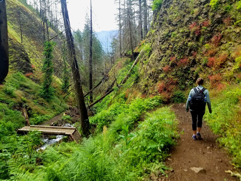
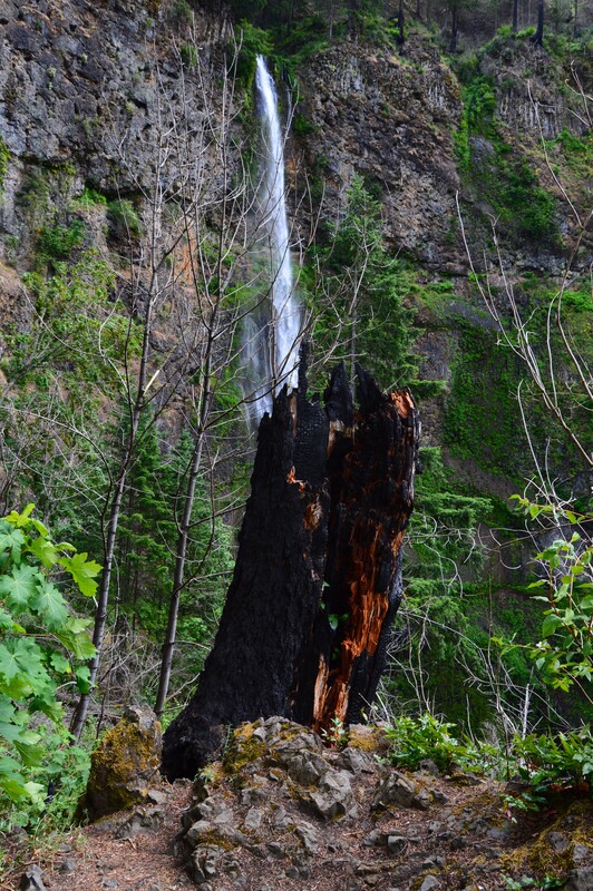
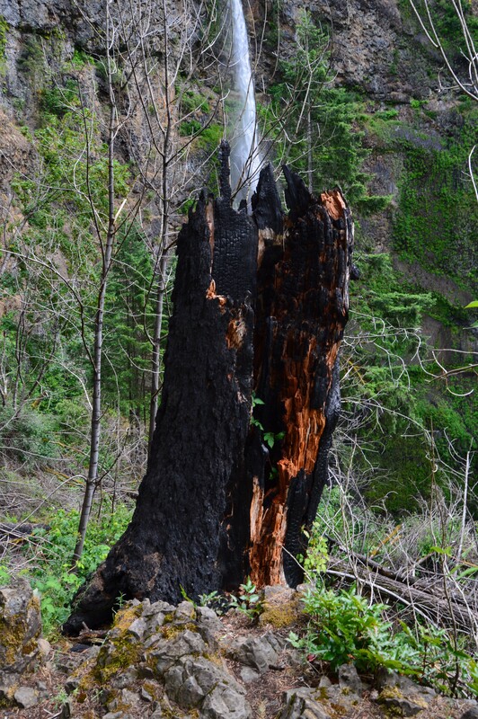
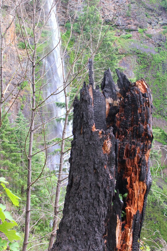
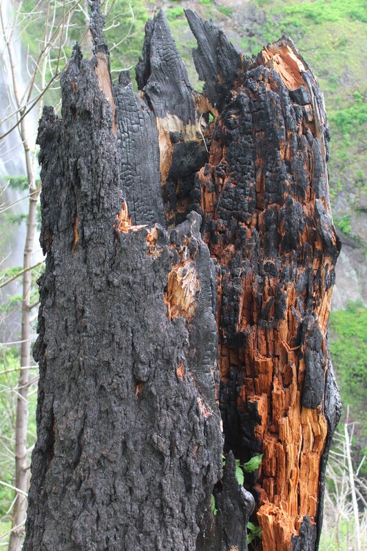
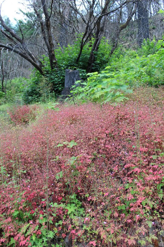
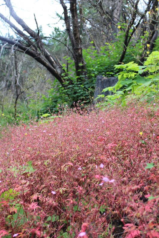
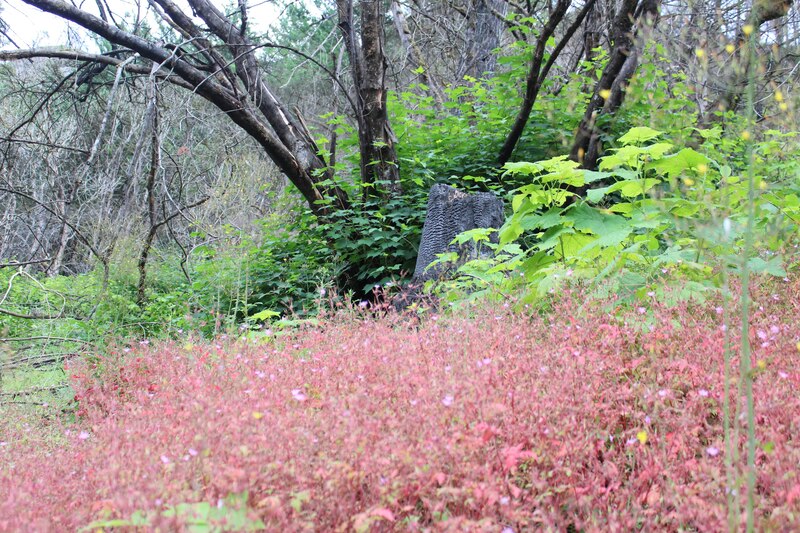
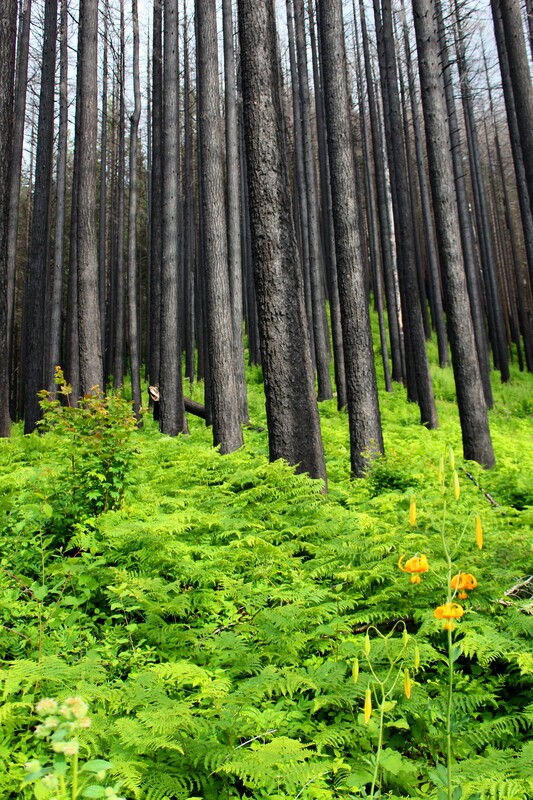
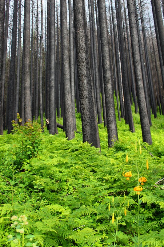
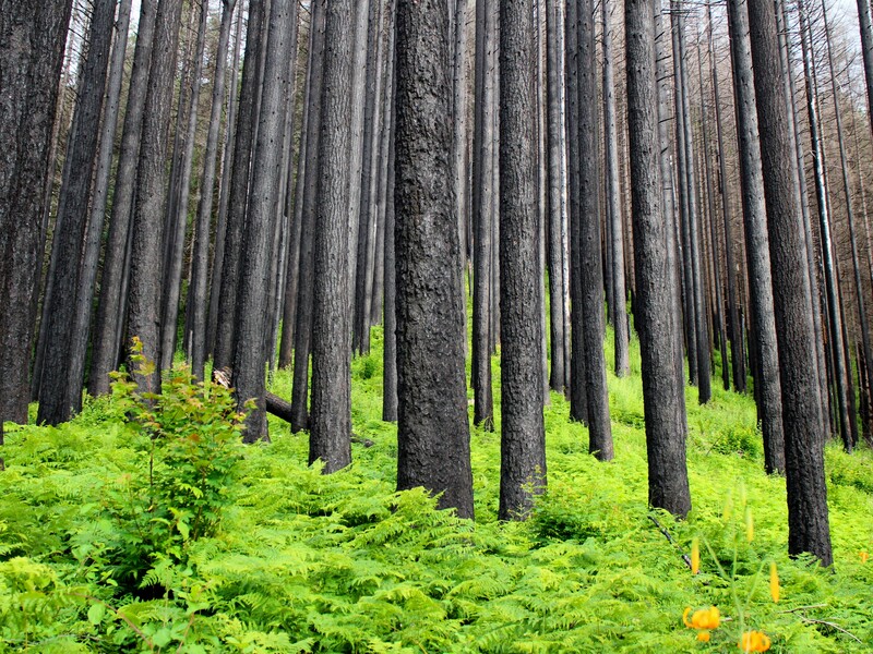
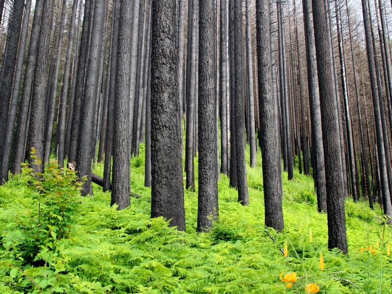
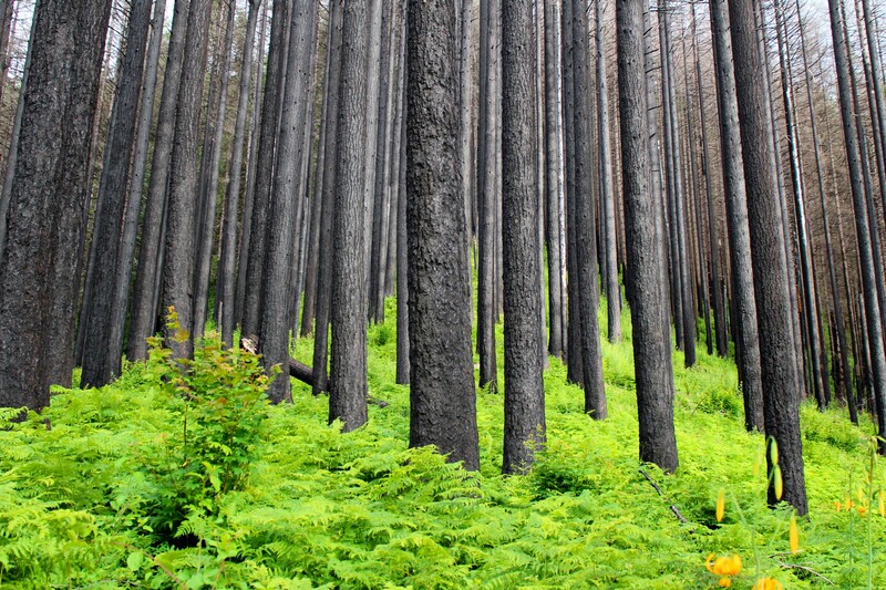
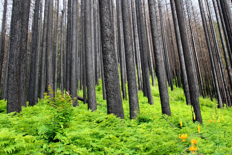
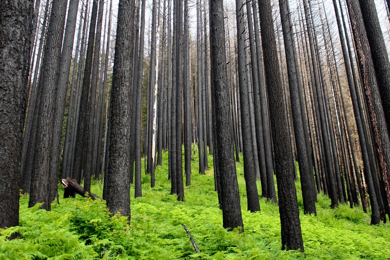
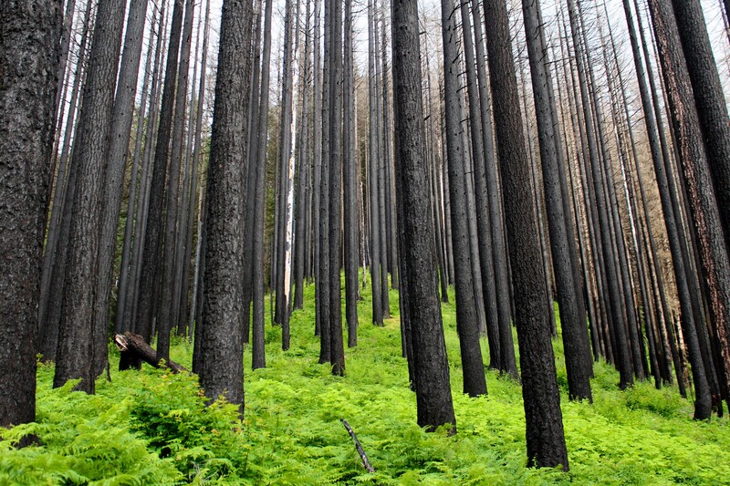
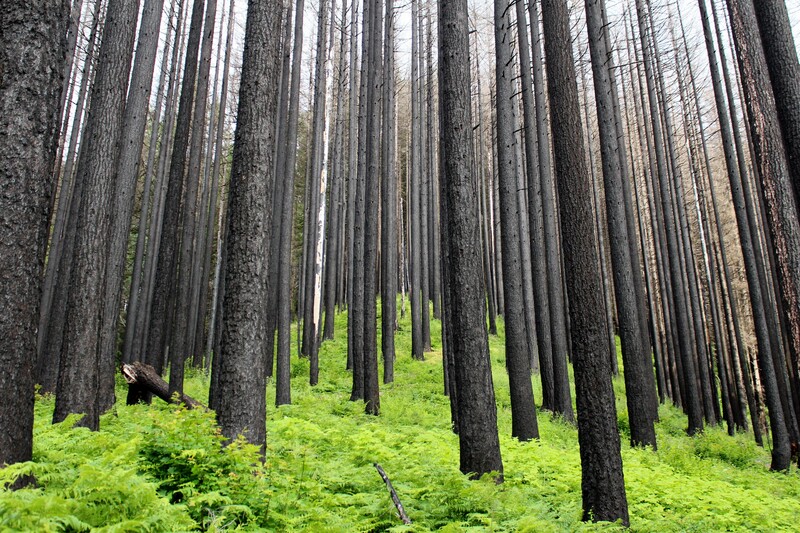
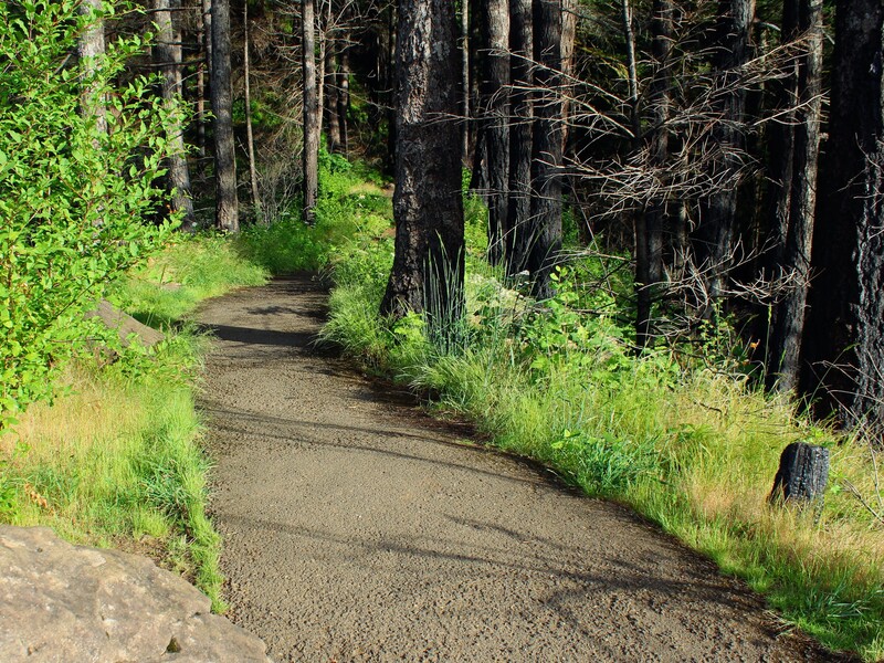
In 2017, a teenage boy was playing carelessly with fireworks and started a fire that destroyed over 50,000 acres and of forest and around 125 trails in the region. It took 3 months to contain. The fire cost the U.S. Forest Service the Oregon Department of Forestry millions of dollars to contain and depleted the state of millions in tourism revenue as well. Many trails in this area are still closed from the damage caused in the Eagle Creek Fire. The 16 year old boy who caused the fire was sentenced to five years probation and 1,920 hours of community service with the Forest Service and order to pay $36 million in restitution. This boy will never forget how one bad decision can have tremendous consequences as he pays for the damage and works to restore what he destroyed.
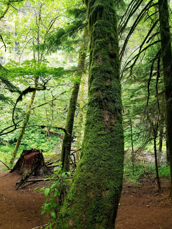
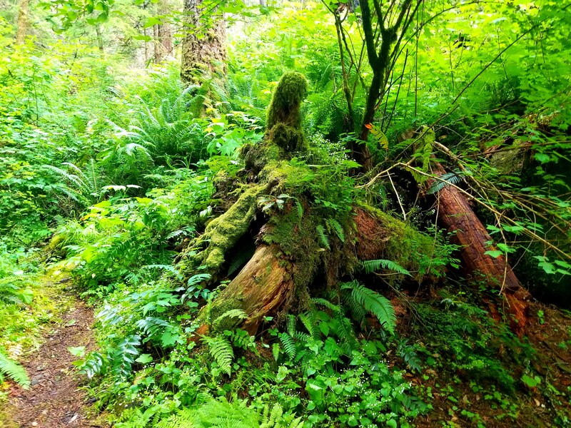
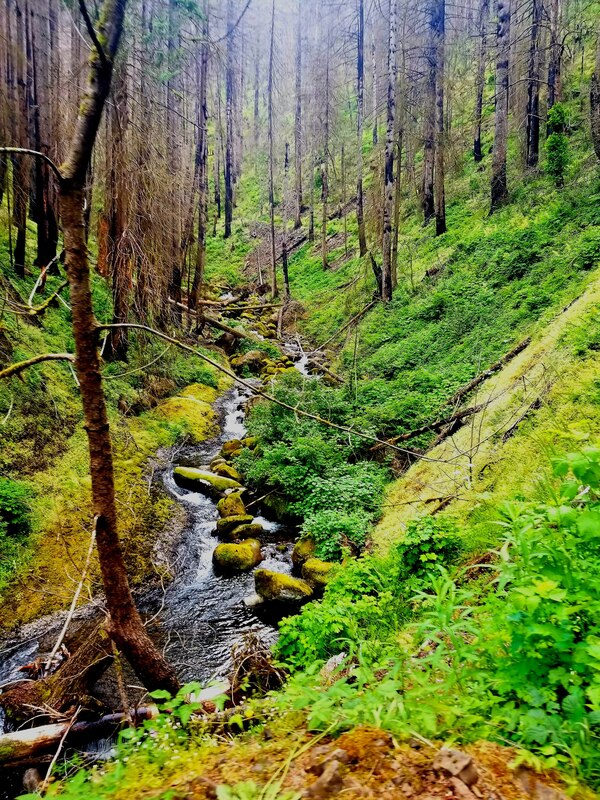
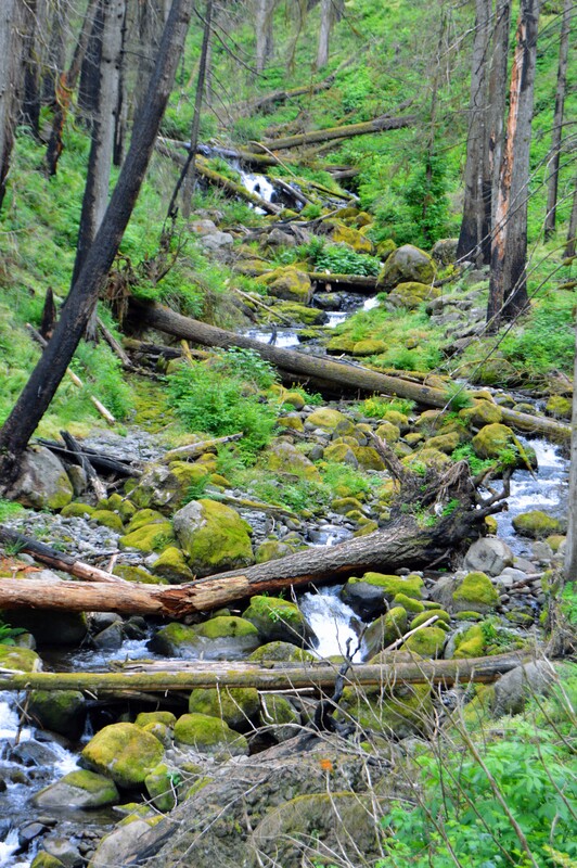
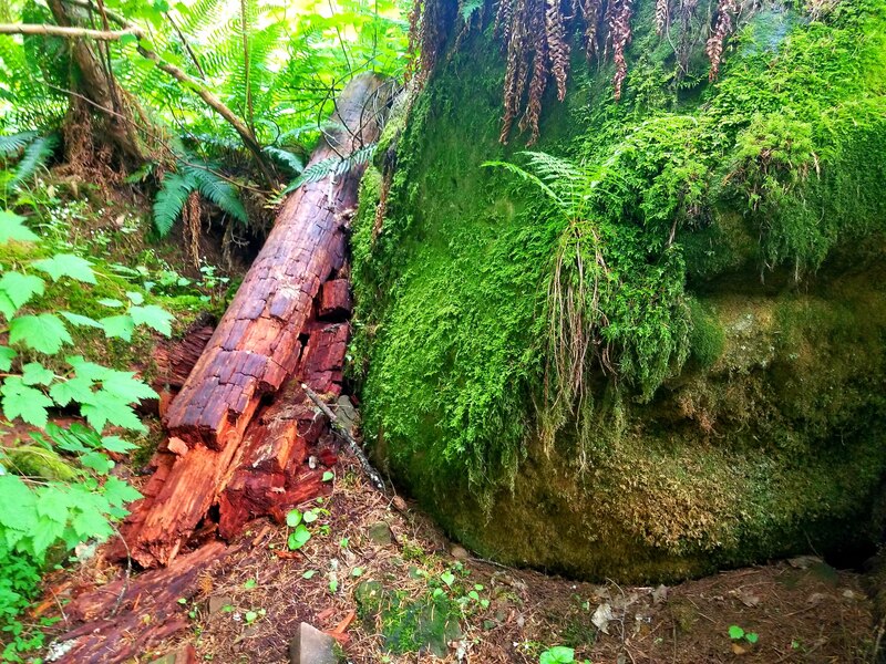
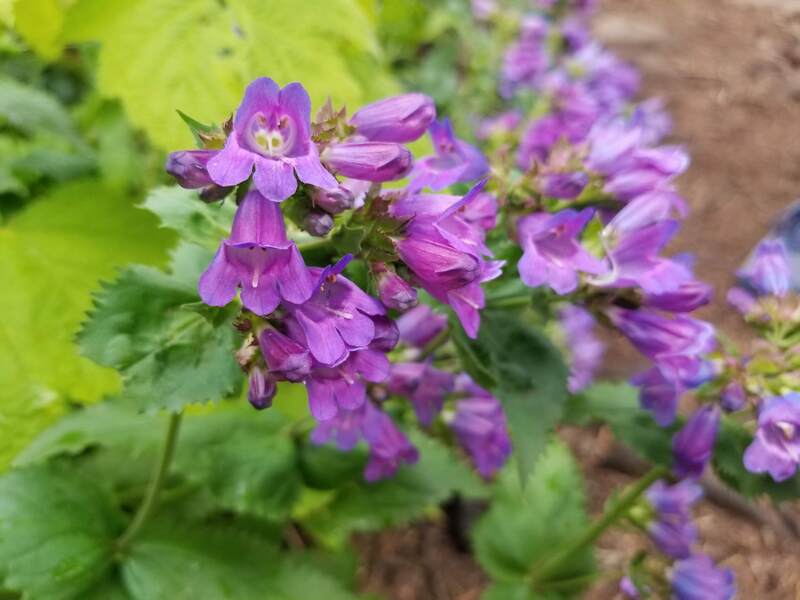
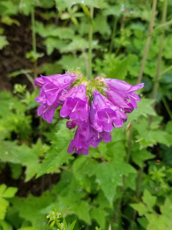
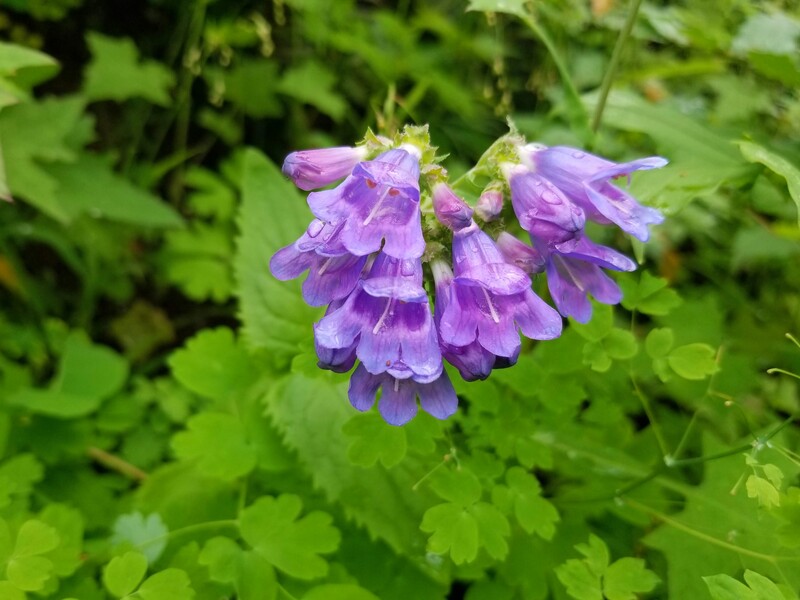
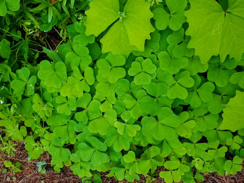
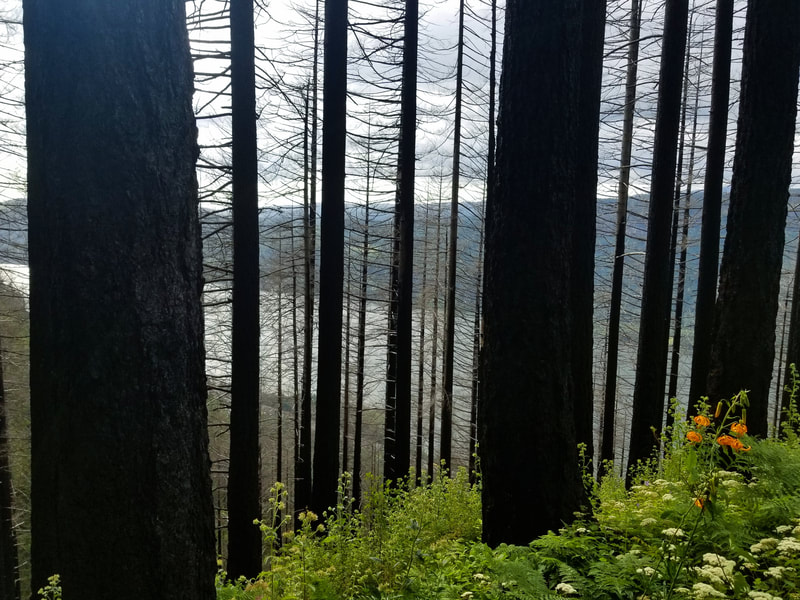
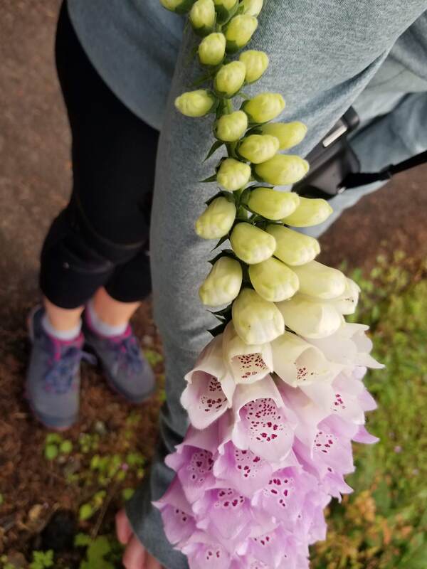
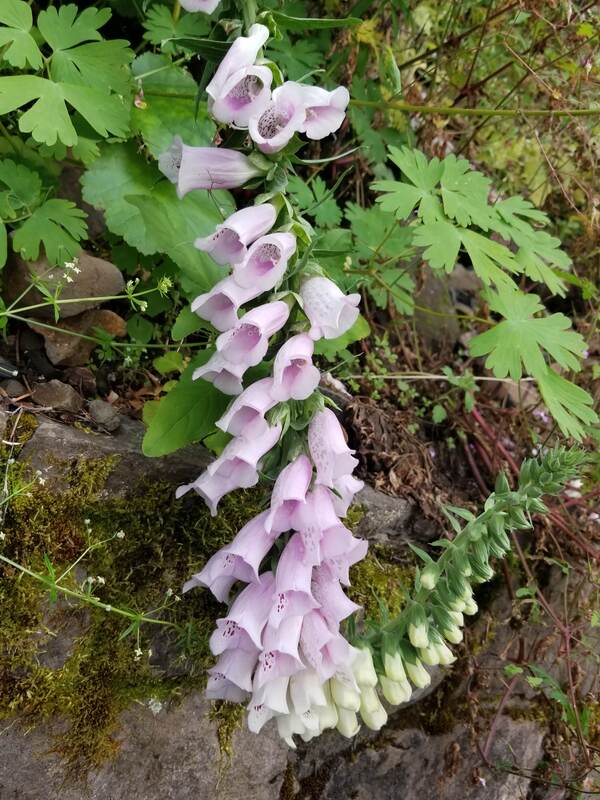
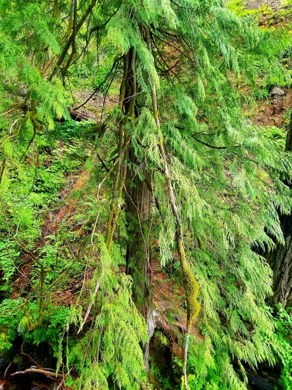
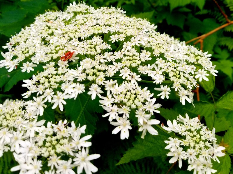
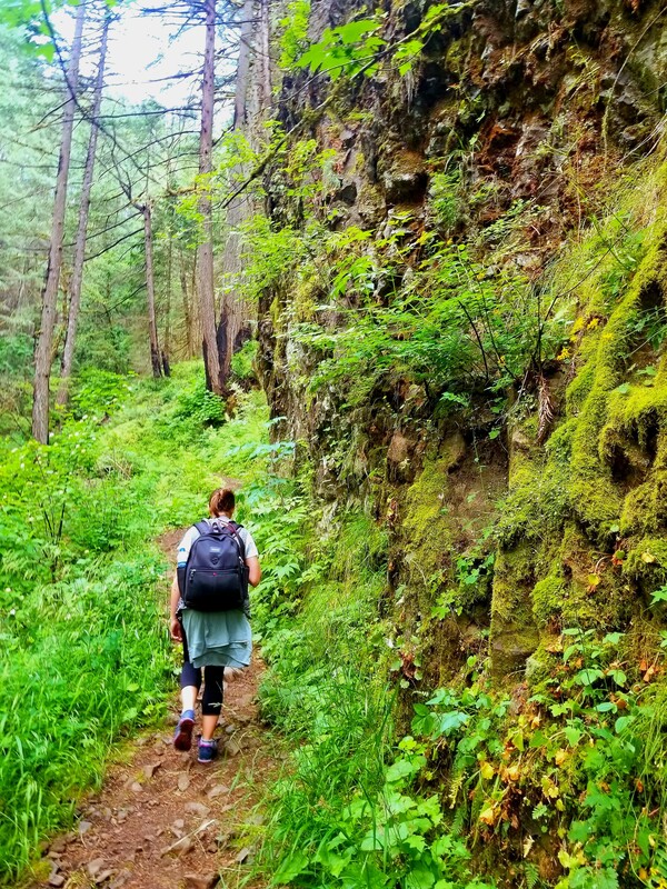
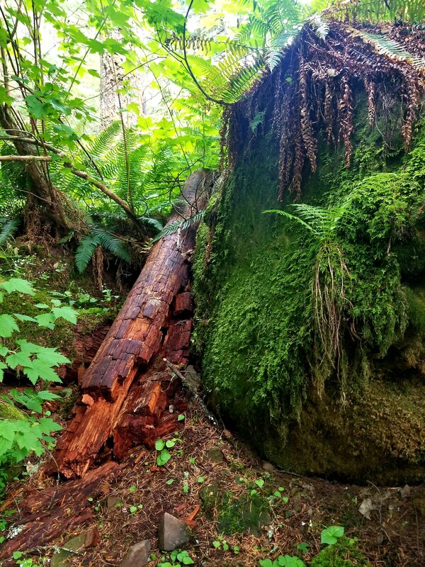
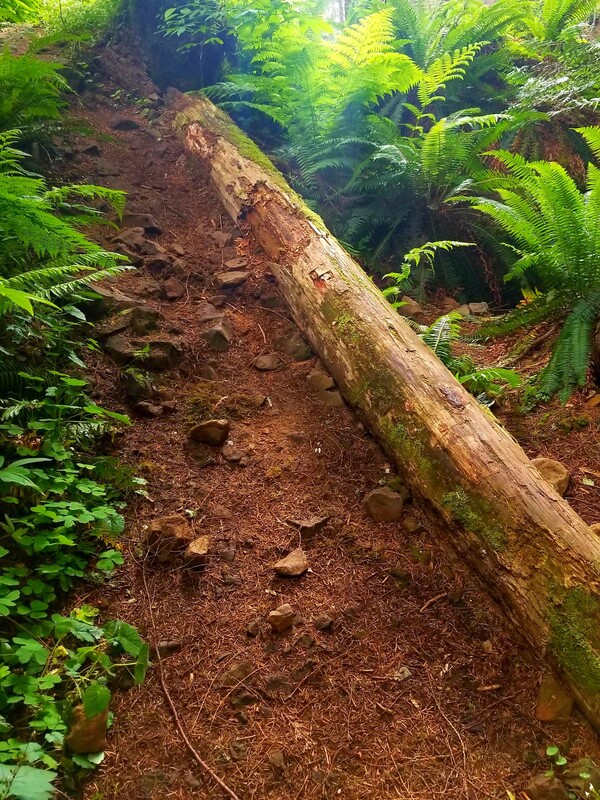
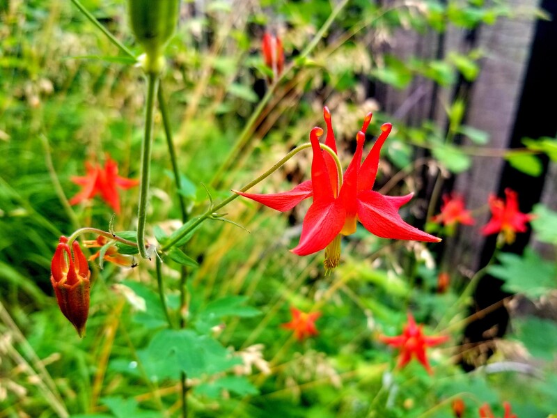
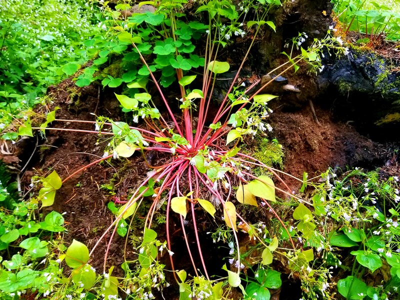
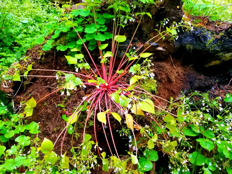
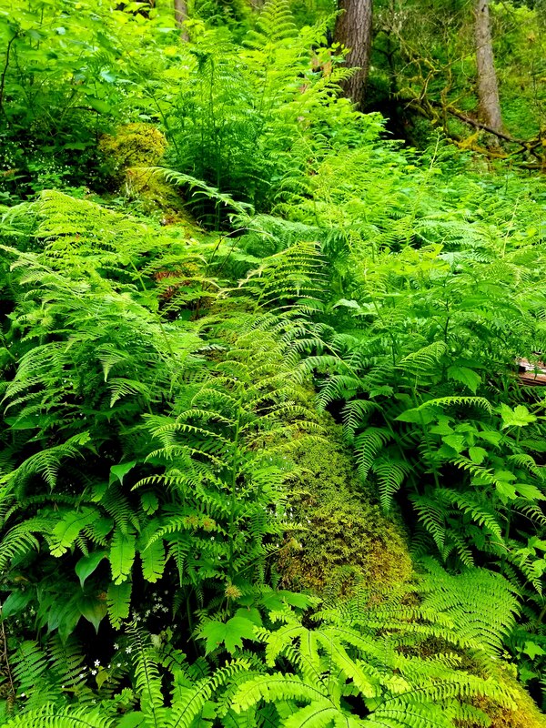
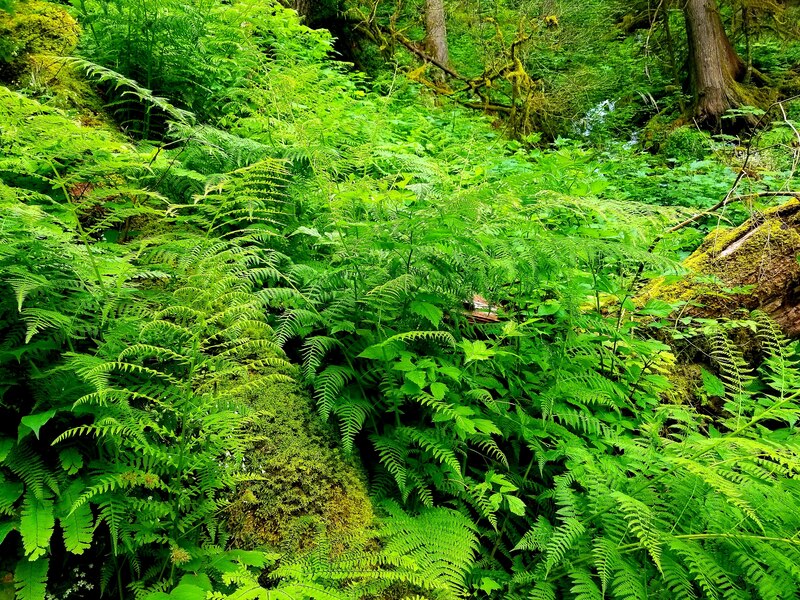
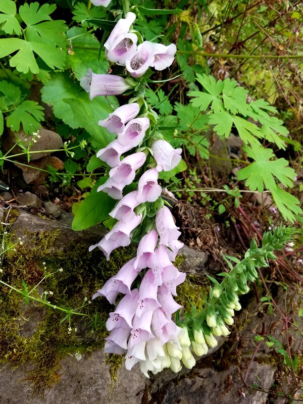
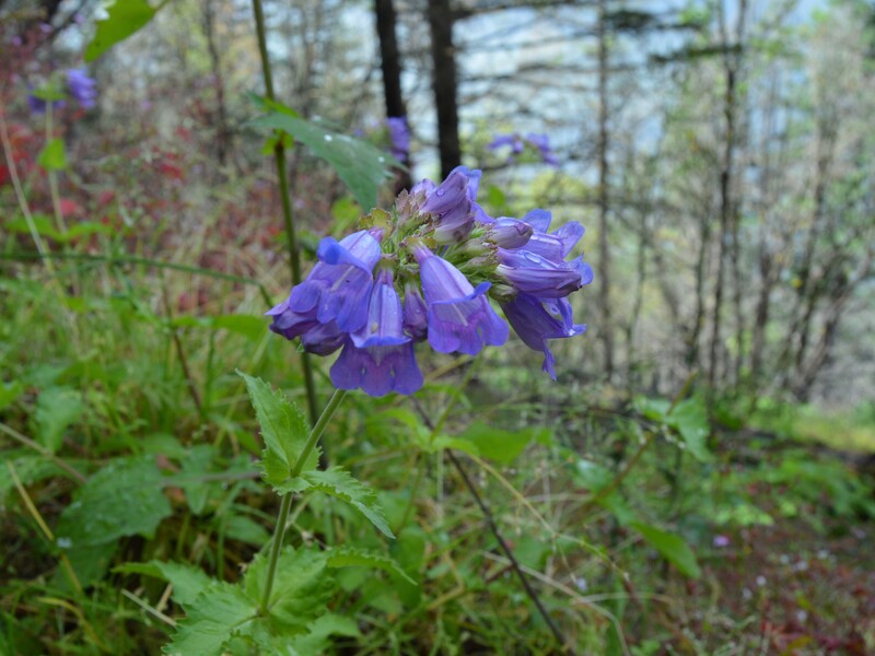
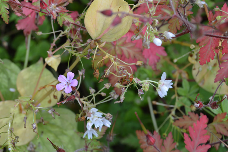
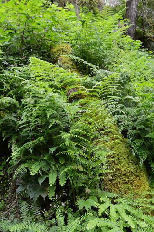
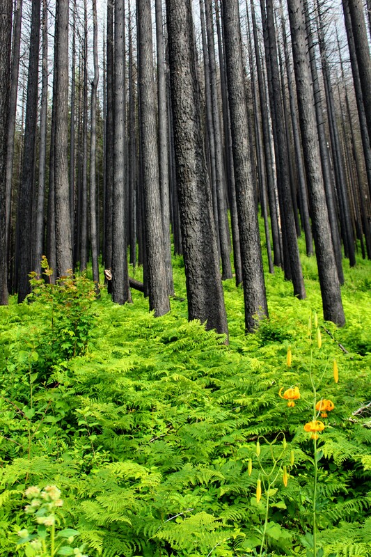
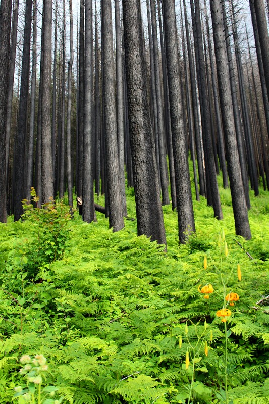
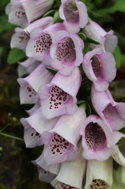
Even though this terrible event caused mass destruction of miles of forests, it was still incredibly beautiful. The tall, old trees charred black, stood majestically over the new life that emerged from the scored earth underneath. The brilliant green ferns and brightly colored flowers, born from the scorched earth gave splendid contrast against the blackened trees that towered above. Nature shows no anger. Nature overcame devastation with dignity and in the process cultivated a new allure.
Seeing this, reminded me that everything and everyone has a beginning and an end. We will have many experiences, both good and bad, in the time between these two points on life's spectrum. These experiences and placement on the spectrum will change us but they do not make us change us into something ugly. Beauty is in the eye of the beholder. Our beauty comes from the way others see us as we face change and adversity. So when I am feeling old and tired, I hope my children see me holding my head up high with dignity. When I am hurt by others, I hope they see me showing forgiveness. When I face adversity, I hope they see me bravely fighting through it. And when my experiences change me, I hope they see something beautiful.
Click on each picture below to enlarge the picture and view the whole photo.
LEMMON'S VIEWPOINT
Multnomah to Wahkeena Falls Loop
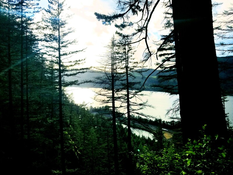
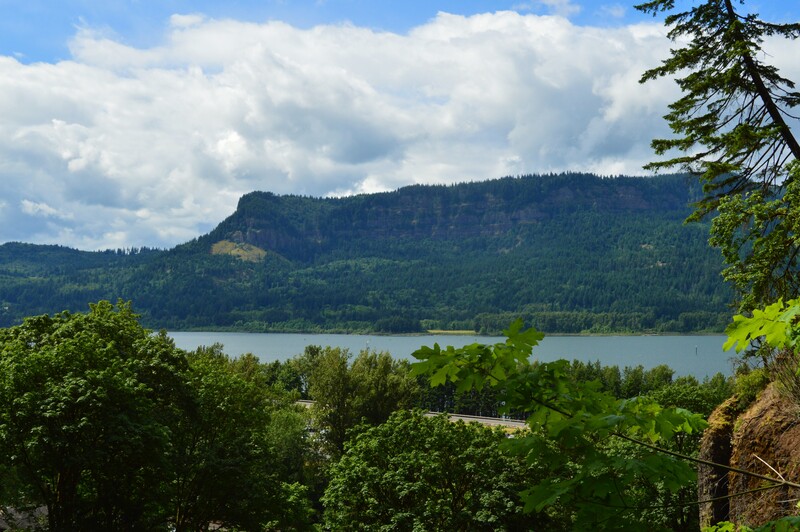
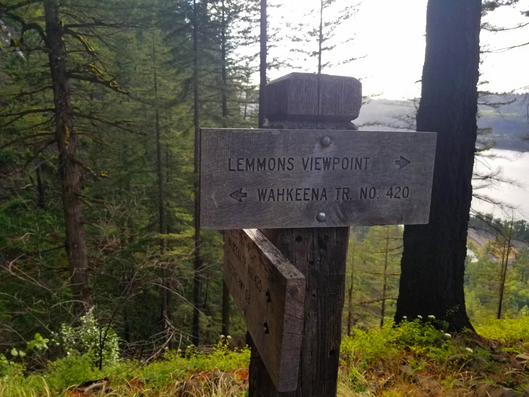
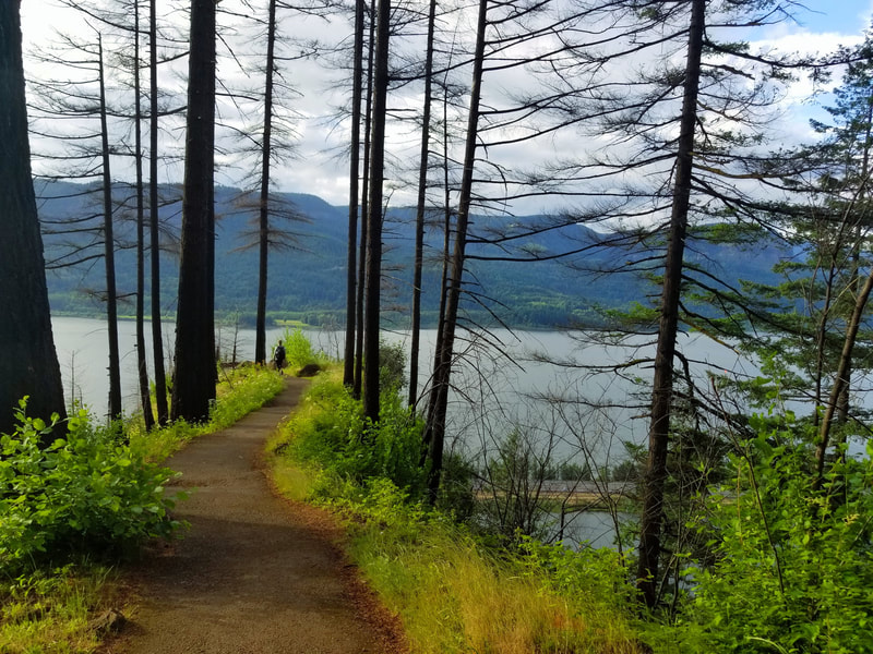
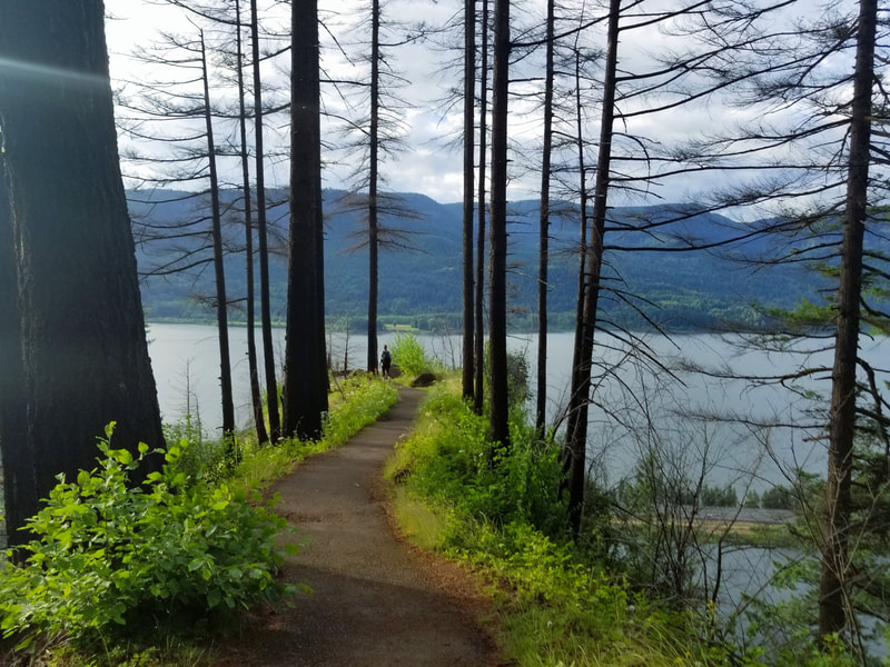
Lemmons Viewpoint is an overlook area above Wahkeena Falls. The overlook is named for Keith L. Lemmons, a 27 year old firefighter who died fighting the Mound House Wildfire in Nevada in August 1983. The Lemmon's Viewpoint offers a beautiful view of the Columbia River. This is roughly the half-way mark on the Multnomah Falls Wahkeena Falls Loop.
Click on each picture below to enlarge the picture and view the whole photo.
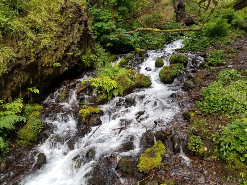
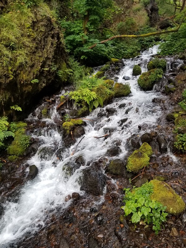
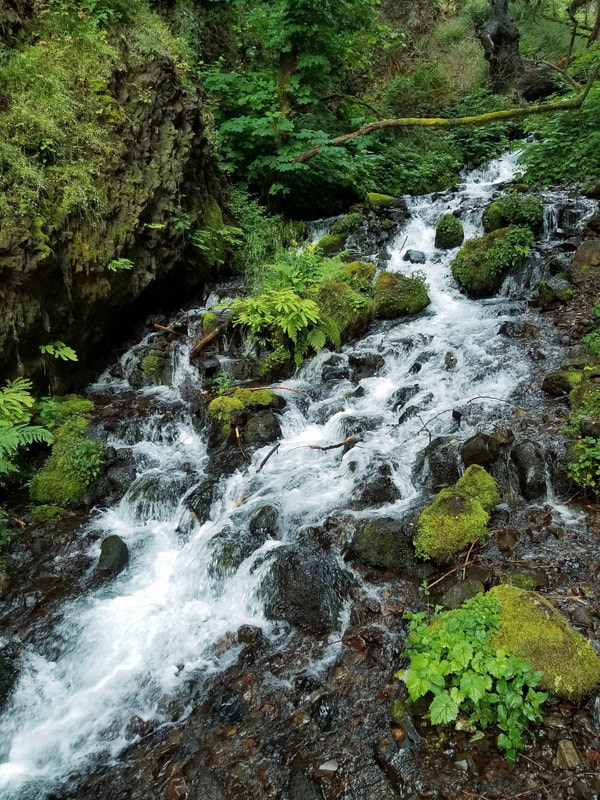
WAHKENNA CREEK
Multnomah to Wahkeena Falls Loop
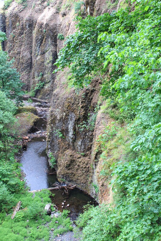
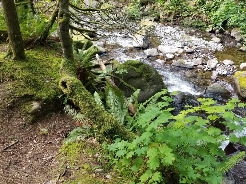
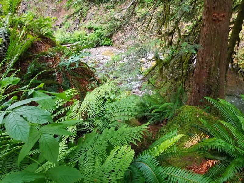
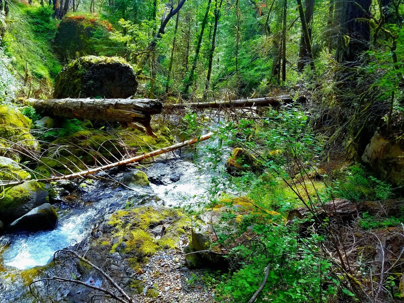
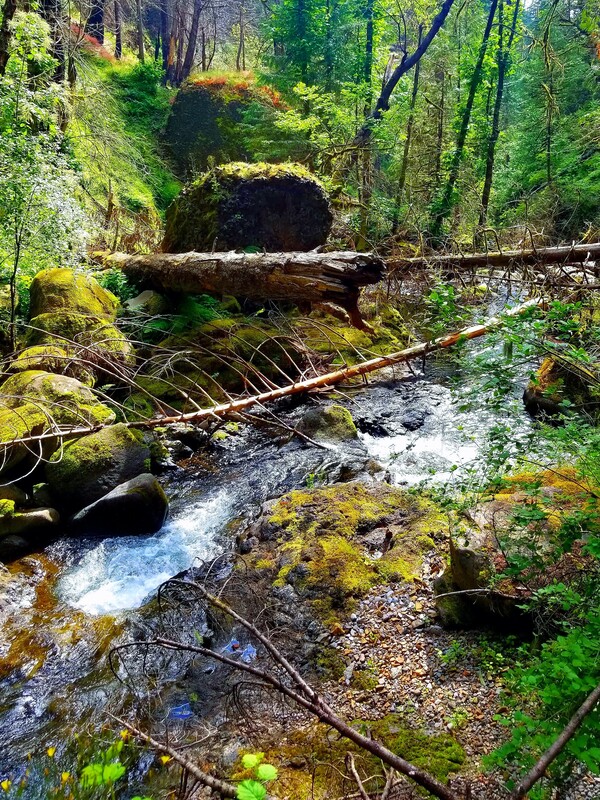
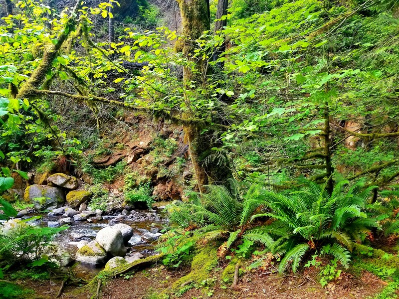
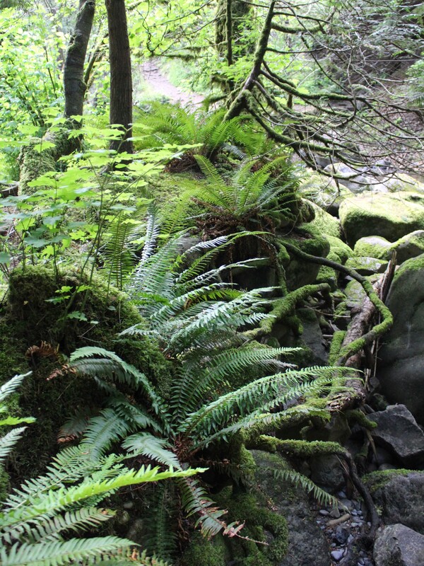
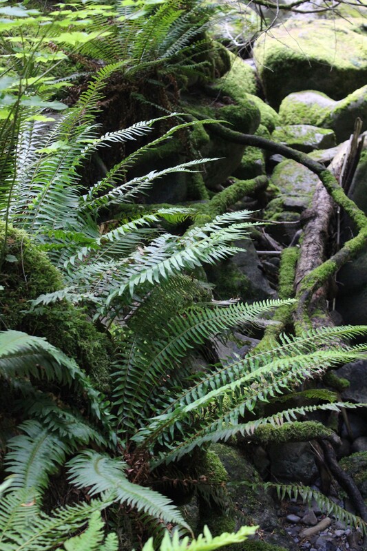
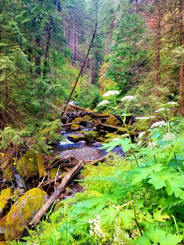
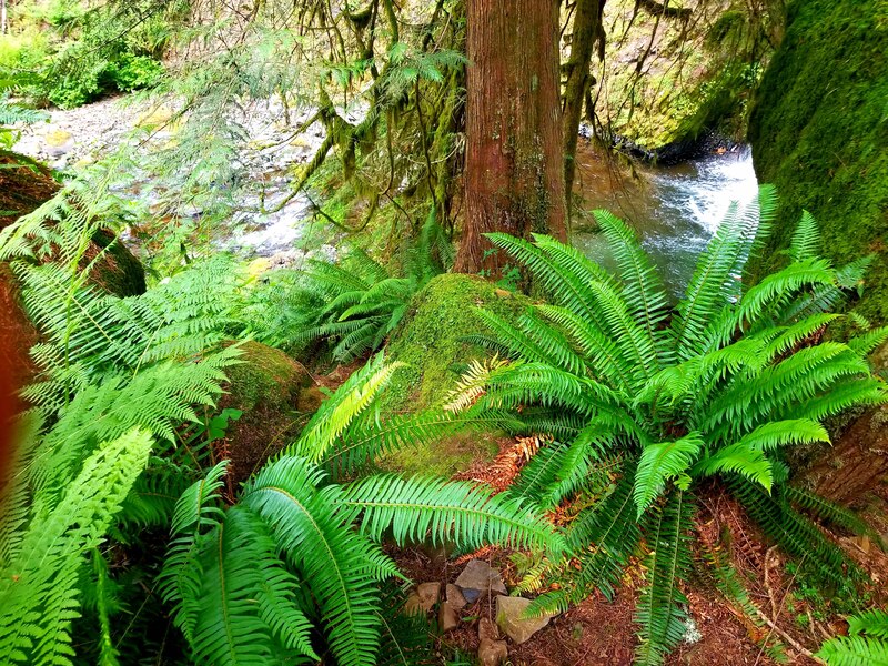
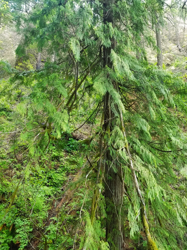
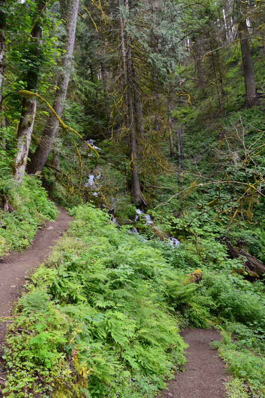
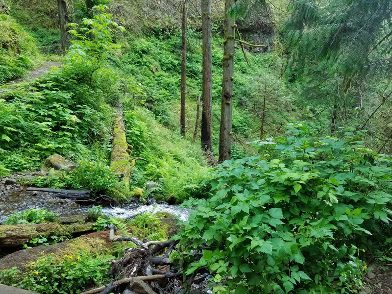
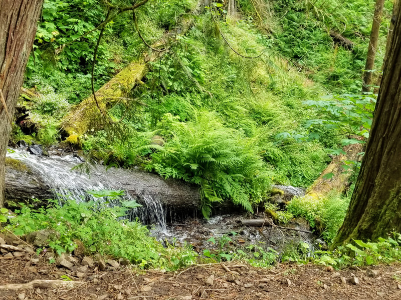
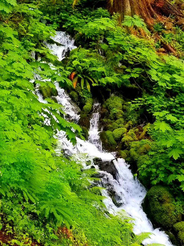
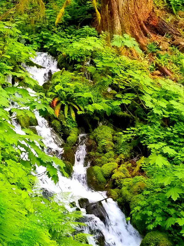
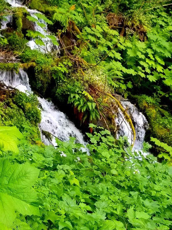
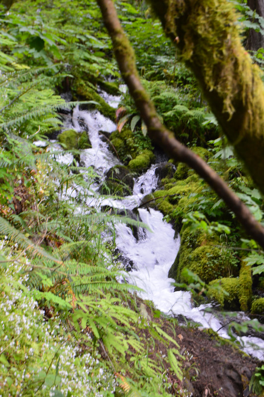
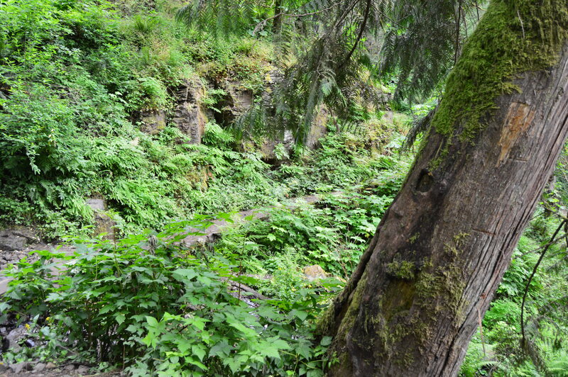
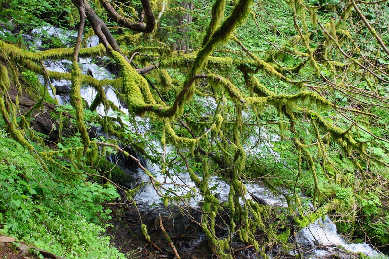
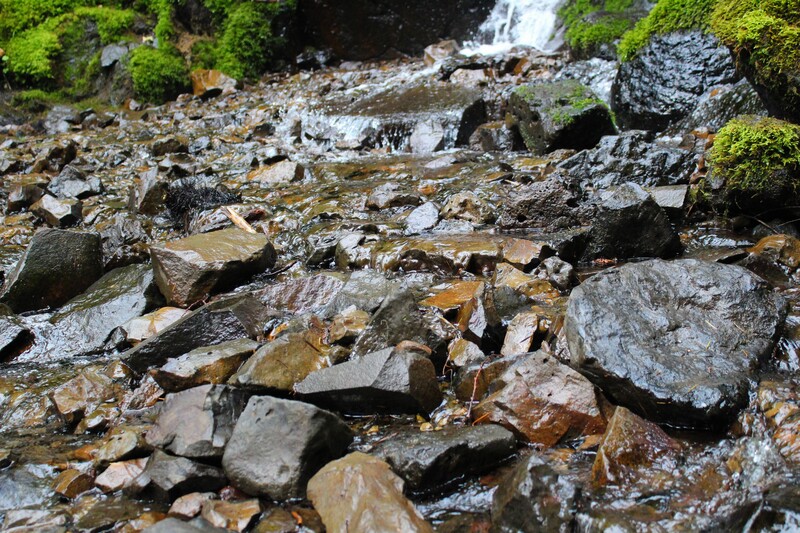
Basically, Lemmon's Viewpoint is the midway point of the trail. Multnomah Creek feeds the waterfalls on the Multnomah Falls side of the trail and Wahkeena Creek feeds the waterfalls on the Wahkeena side of the trail. Wahkeena Creek winds down a small canyon-like gorge. Some parts are thin and narrow with slow moving water and other areas are wide and fast moving. The creek is submersed in an awe-inspiring temperate rainforest. Coming from the Multnomah side of the trail, Wahkeena Creek to Wahkeena Falls is an all downhill hike.
Click on each picture below to enlarge the picture and view the whole photo.
FAIRY FALLS
Multnomah to Wahkeena Falls Loop
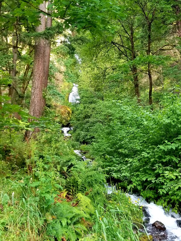
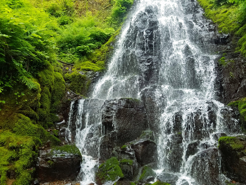
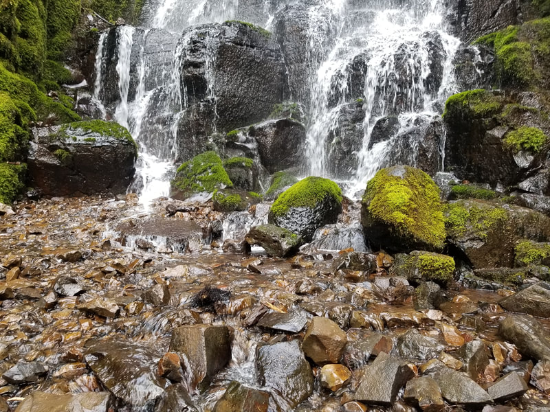
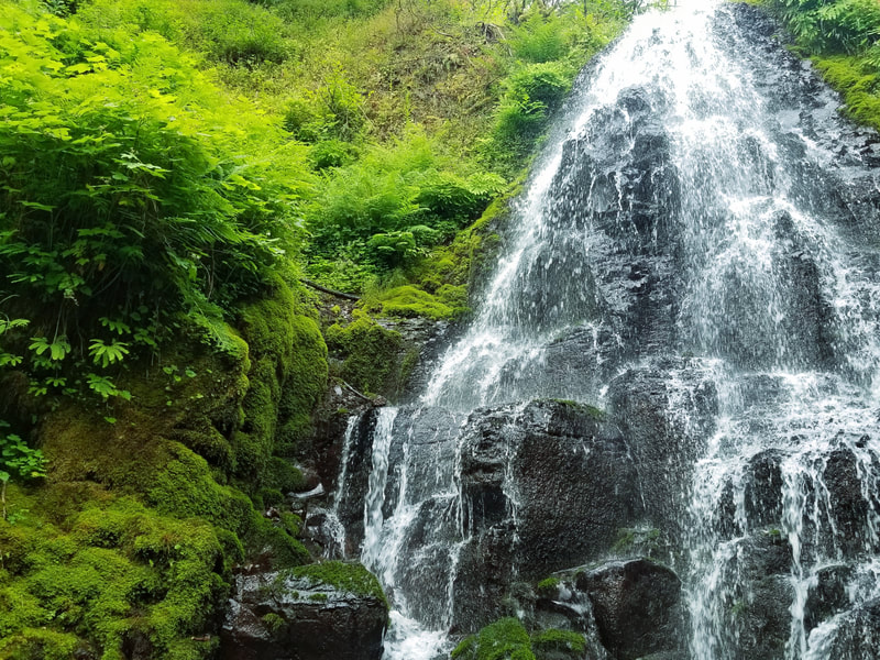
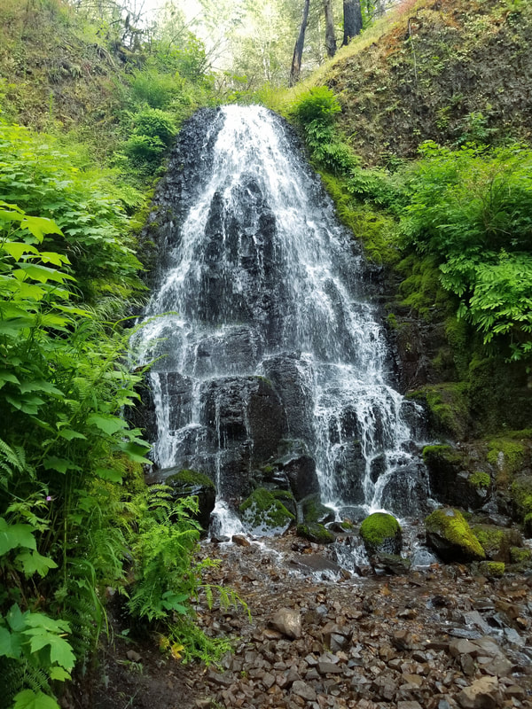
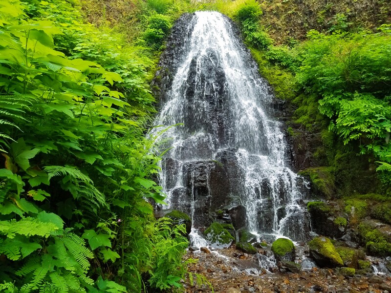
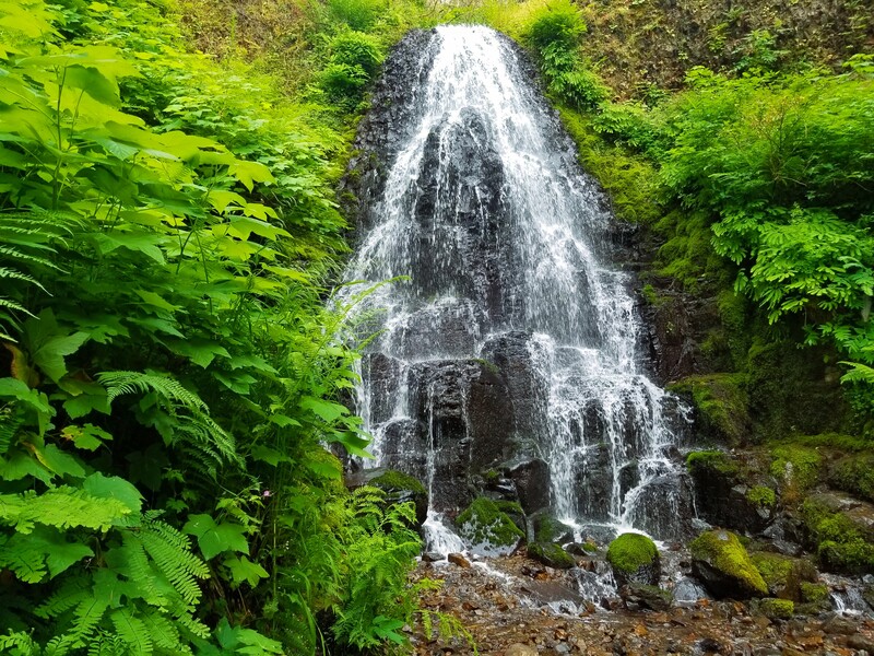
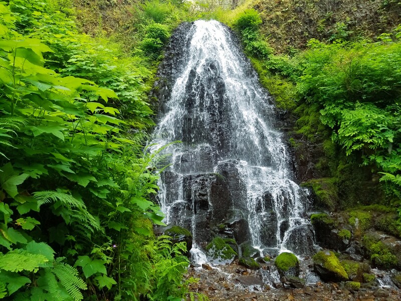
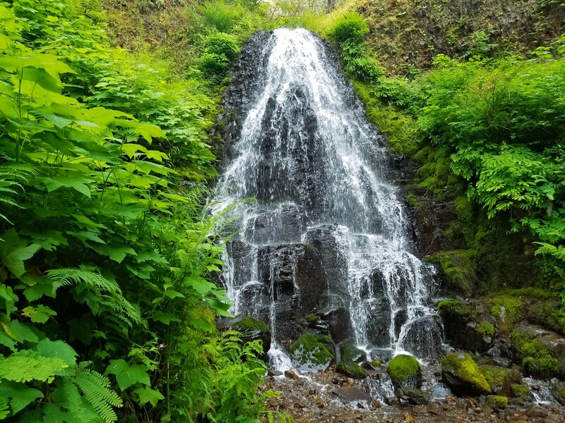
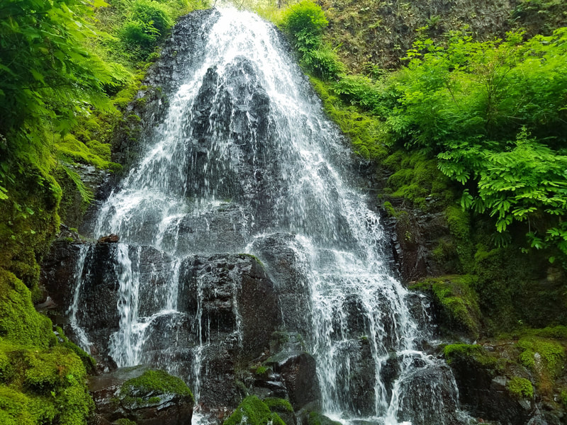
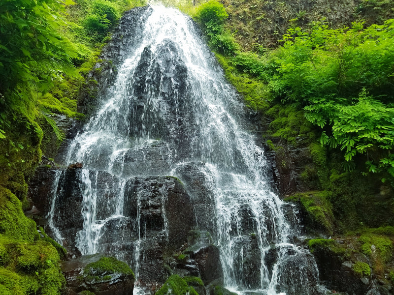
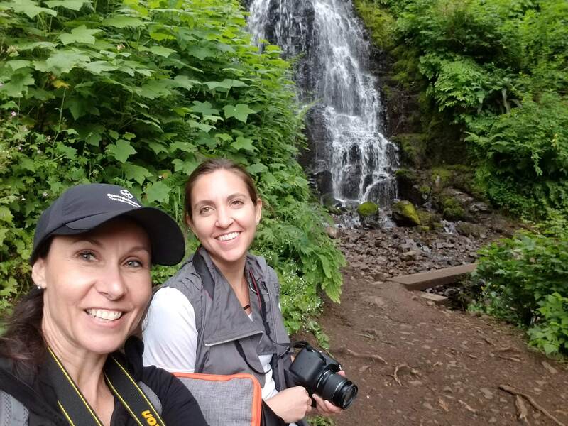
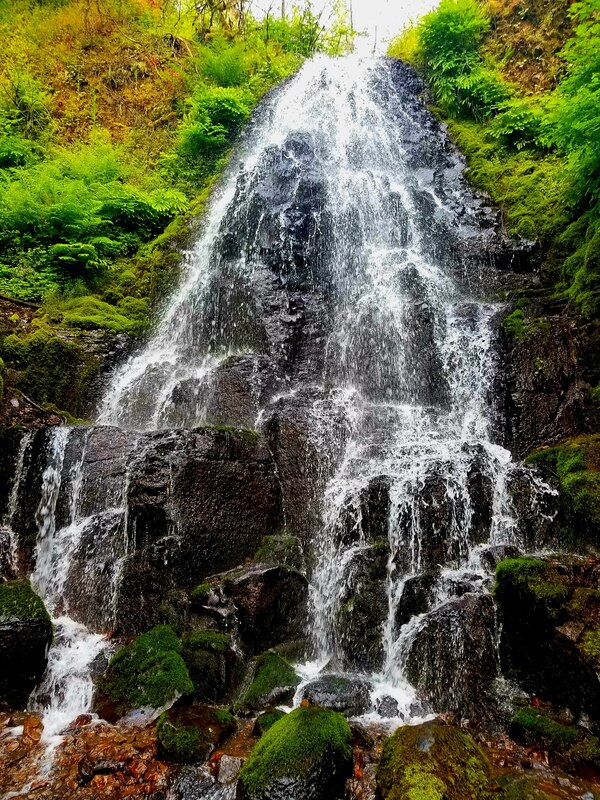
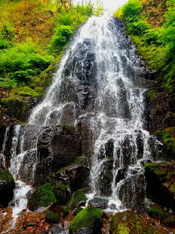
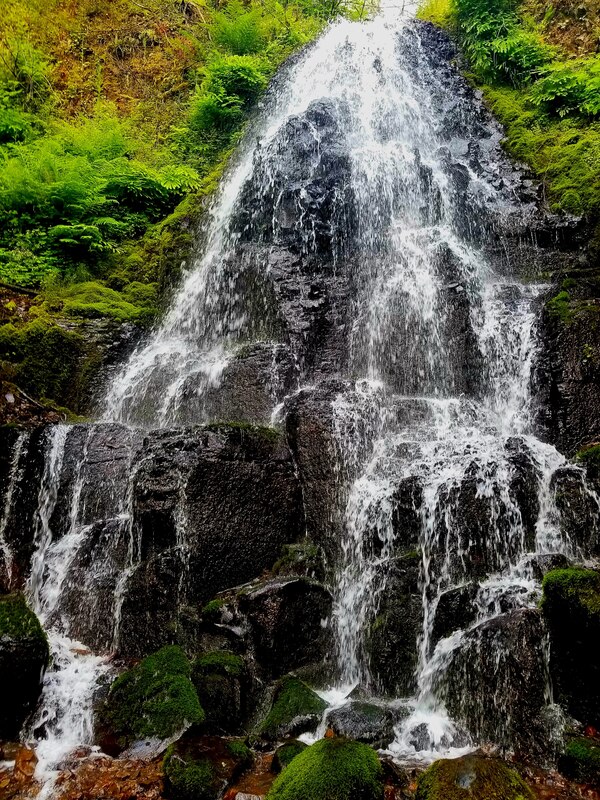
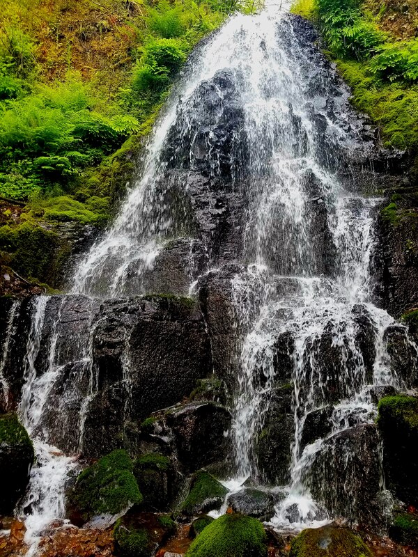
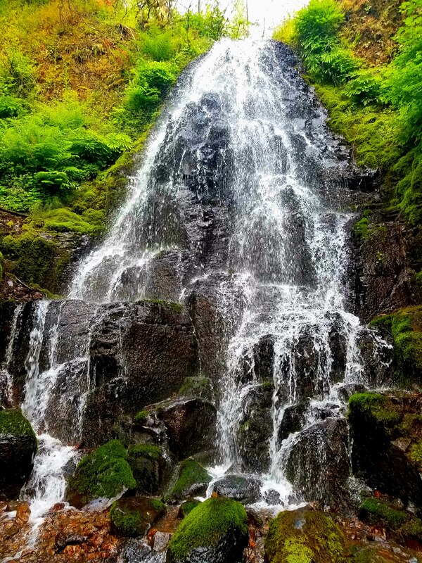
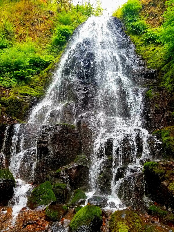
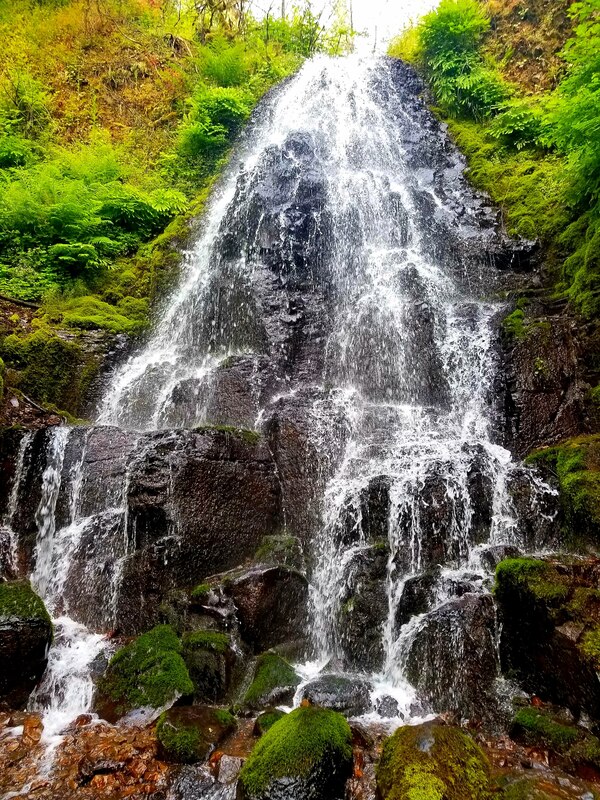
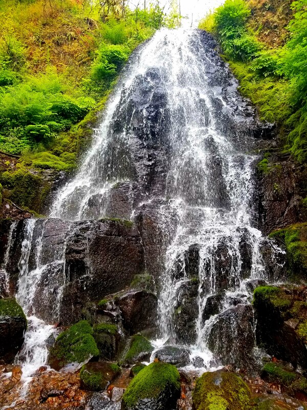
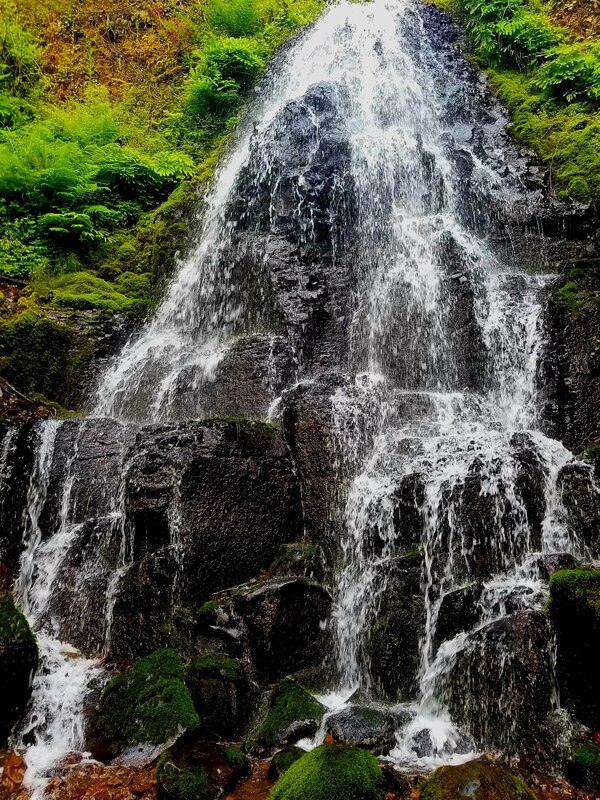
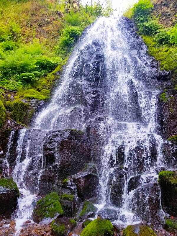
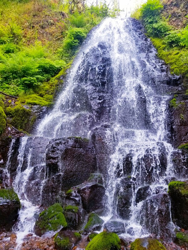
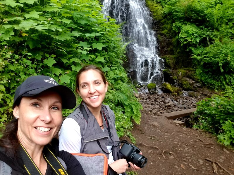
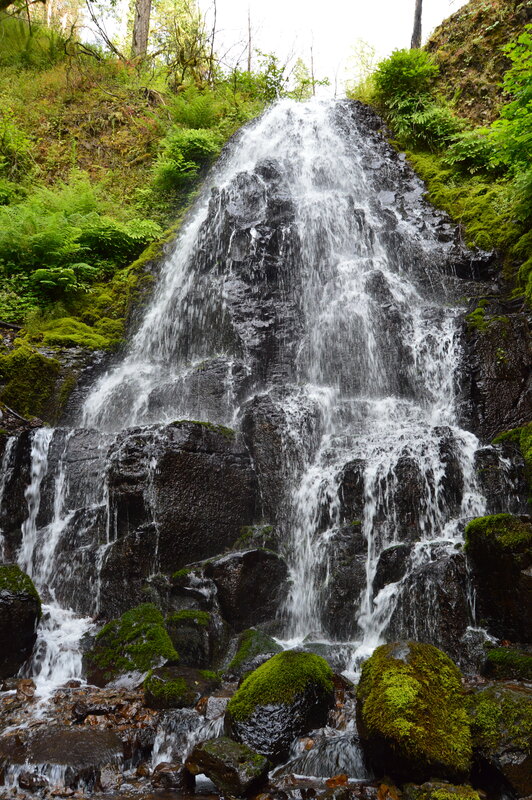
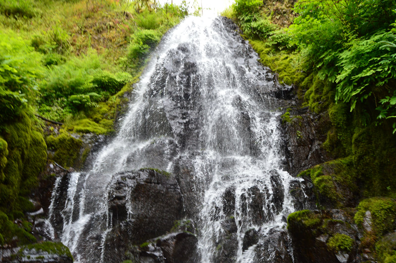
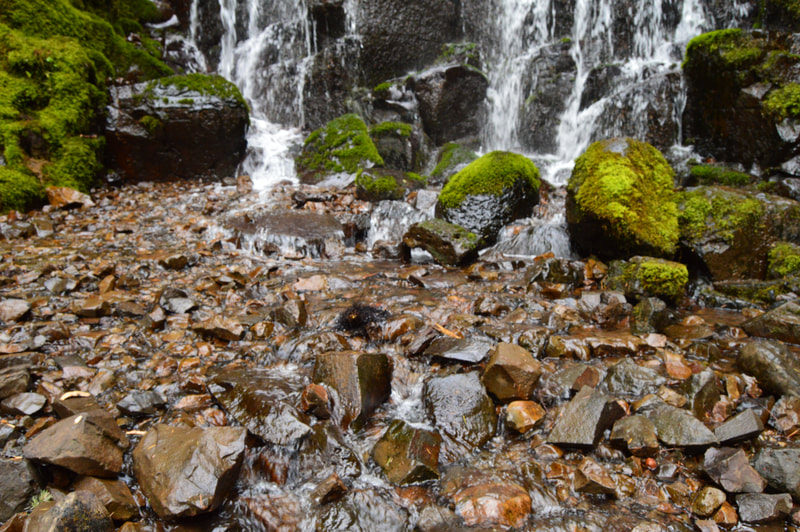
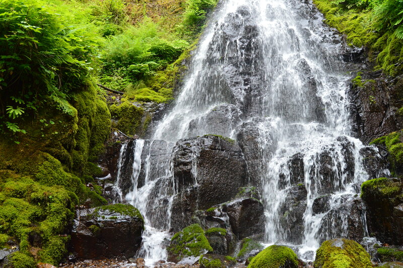
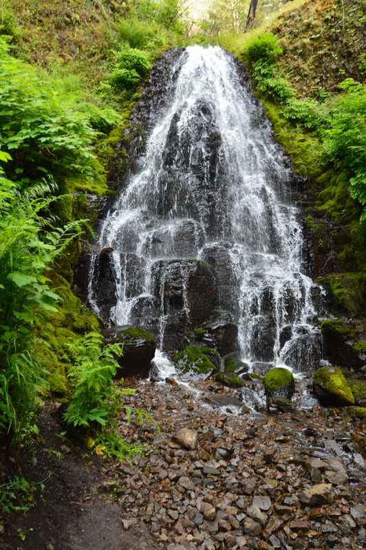
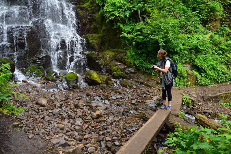
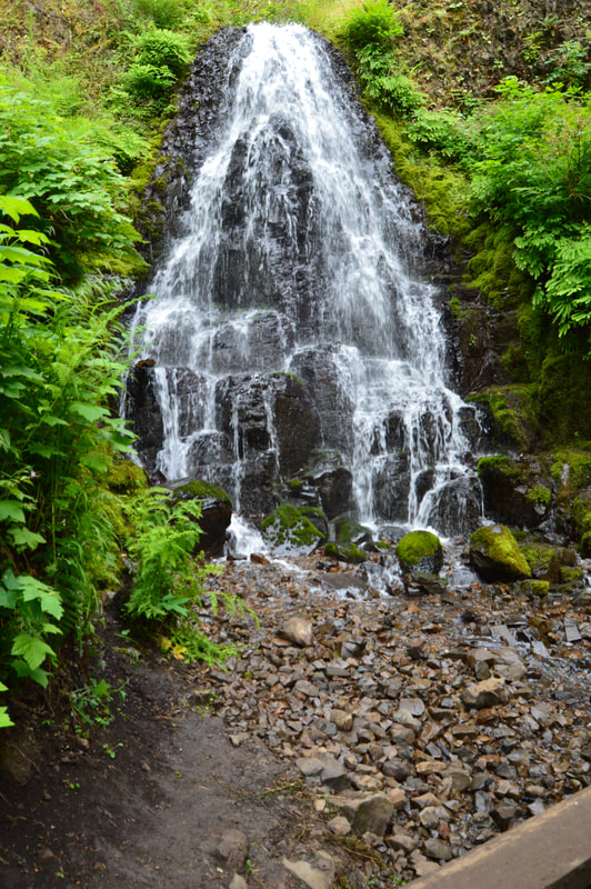
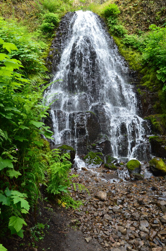
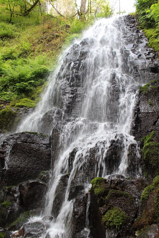
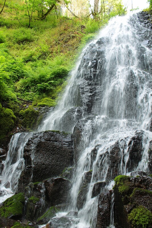
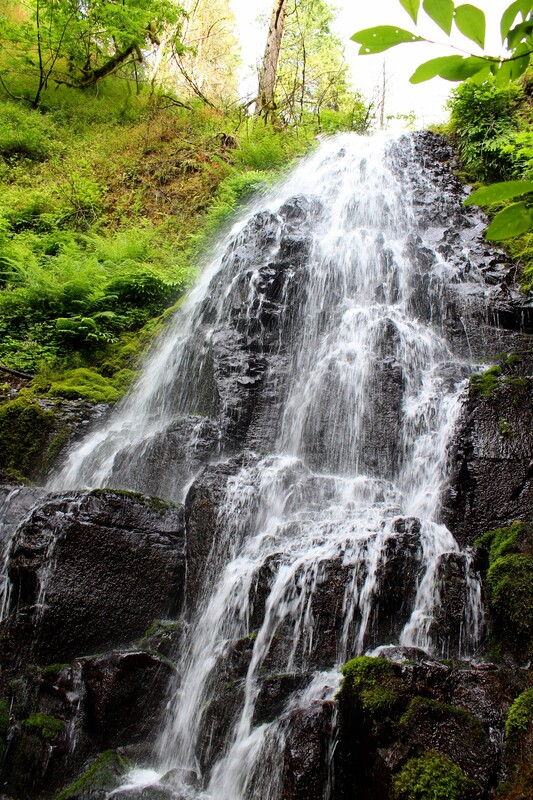
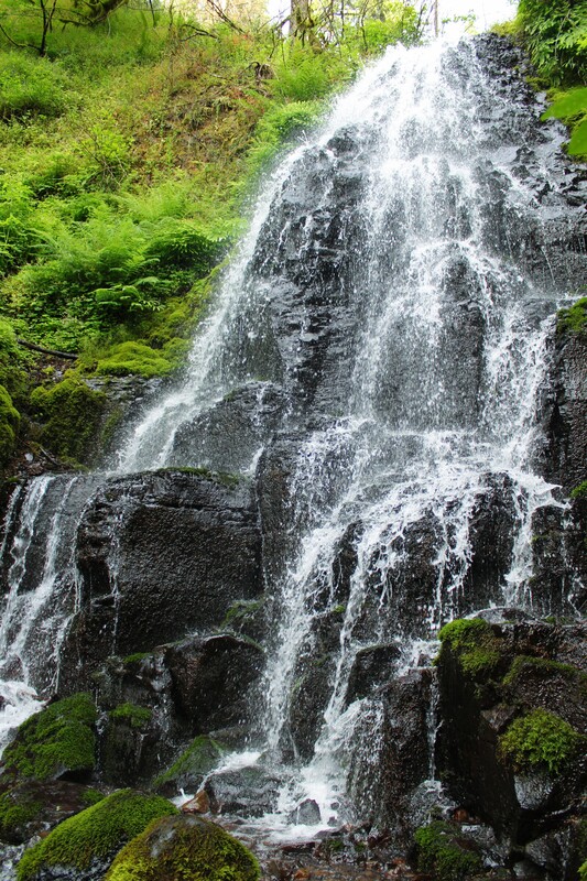
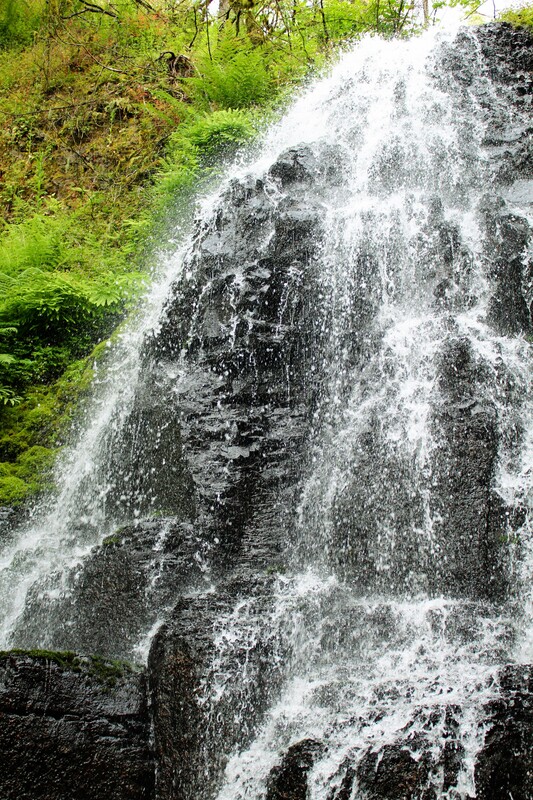
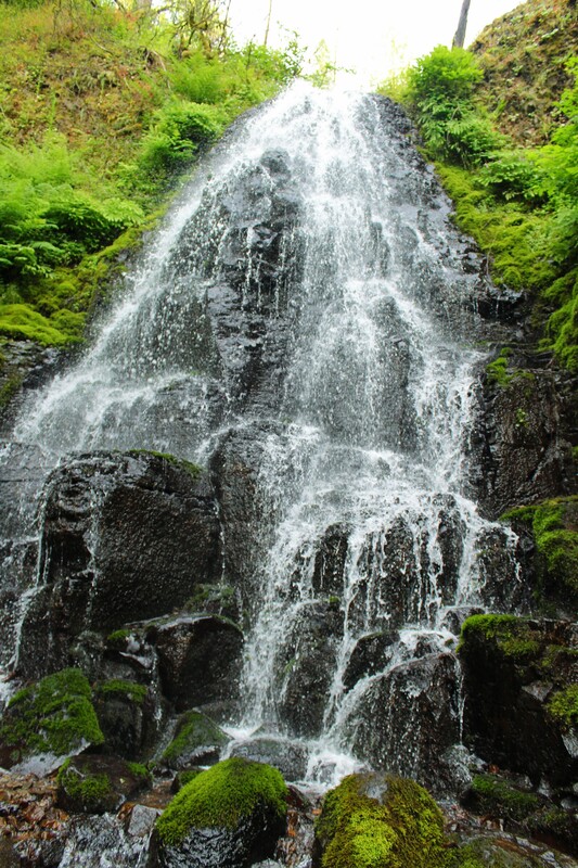
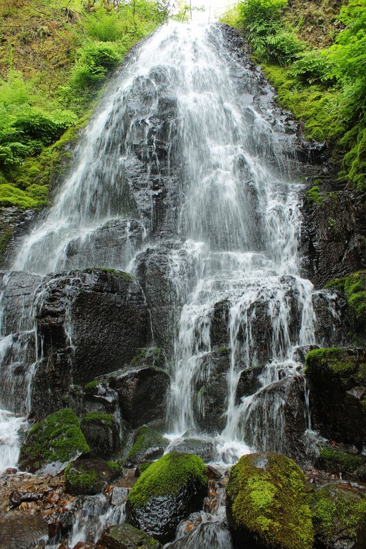
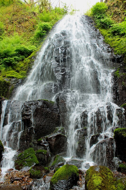
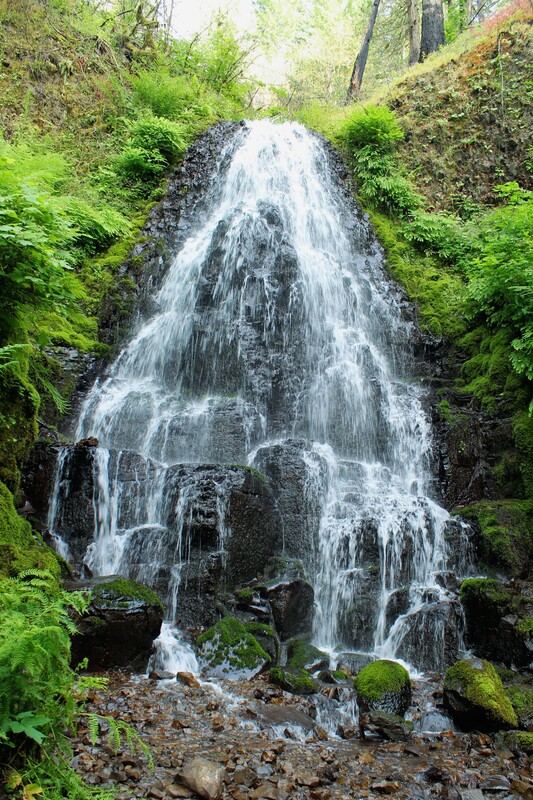
Fairy Falls was the first waterfall other than Multnomah that I learned about in the Columbia River Gorge and was dying to see! Fairy Falls is a fan type waterfall. Fan type waterfalls flow downwards from an above stream and gets wider or fans out at the bottom. Fairy Falls is a 30 foot waterfall that cascades into a deep gorge laced with soft mosses and lush green ferns. Fairy Falls is 2.2 miles from the end of the Multnomah to Wahkeena Loop.
Click on each picture below to enlarge the picture and view the whole photo.
WAHKENNA FALLS
Multnomah to Wahkeena Falls Loop
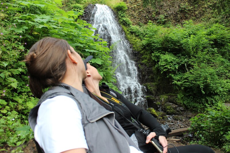
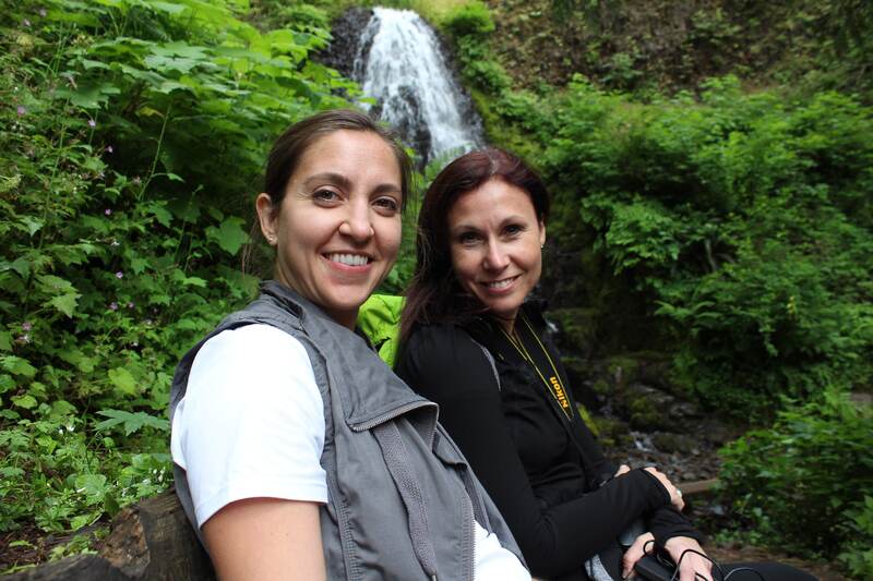
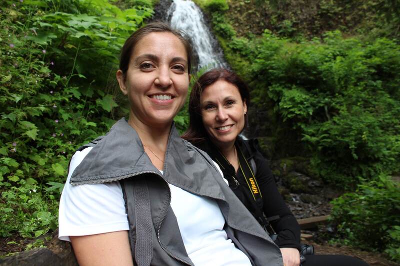
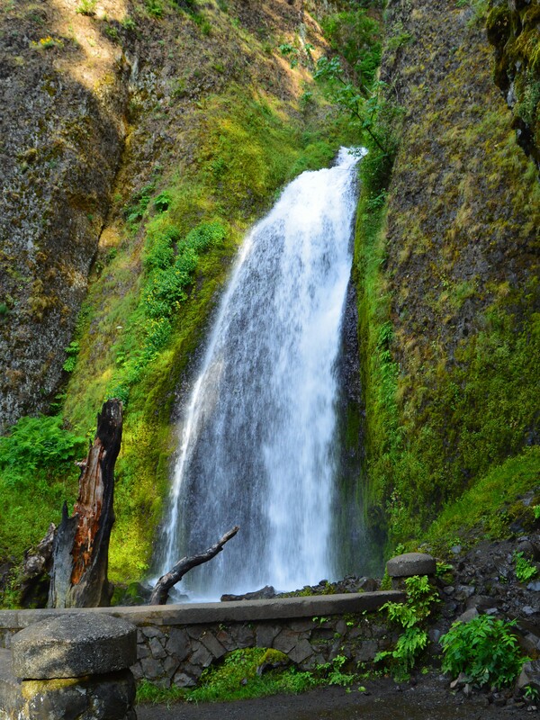
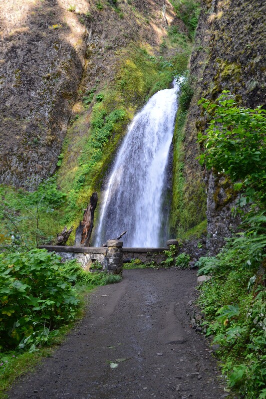
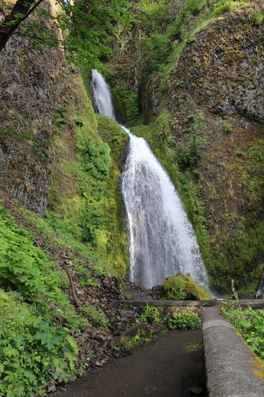
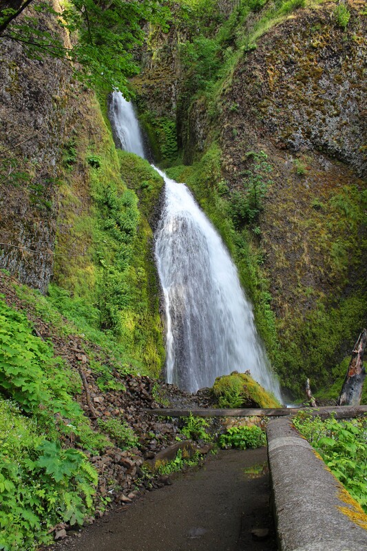
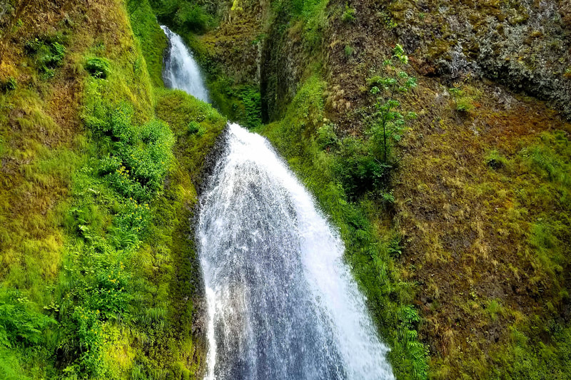
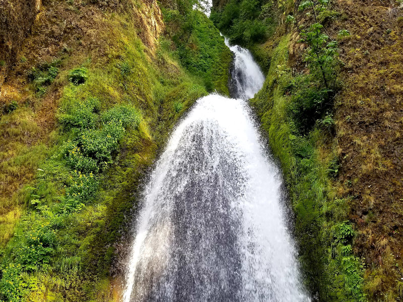
Wahkeena Falls is the last waterfall on the Multnomah to Wahkeena Loop. This tiered waterfall is 242 feet tall. A tier type waterfall is made up of several small waterfalls or tiers that all connect. You might have to move around for different viewpoints to see the whole waterfall. After Wahkeena Falls, the trail winds around and back to the Multnomah Falls Trailhead.
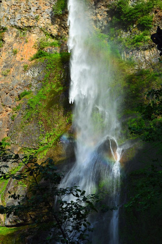
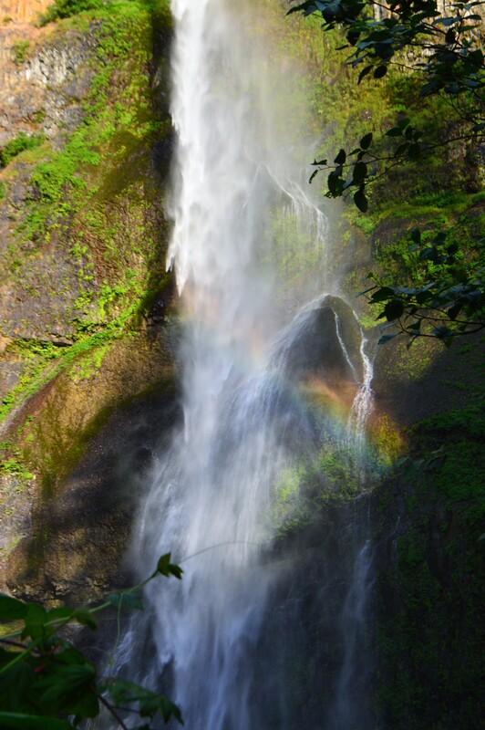
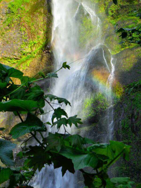
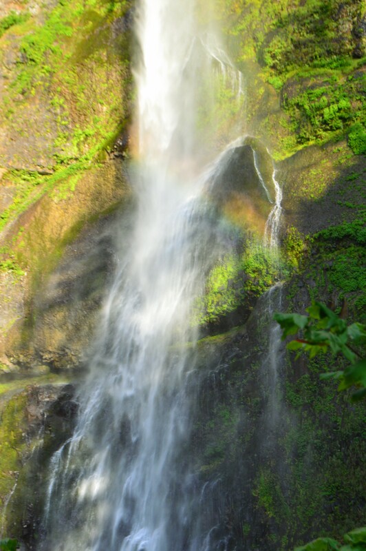
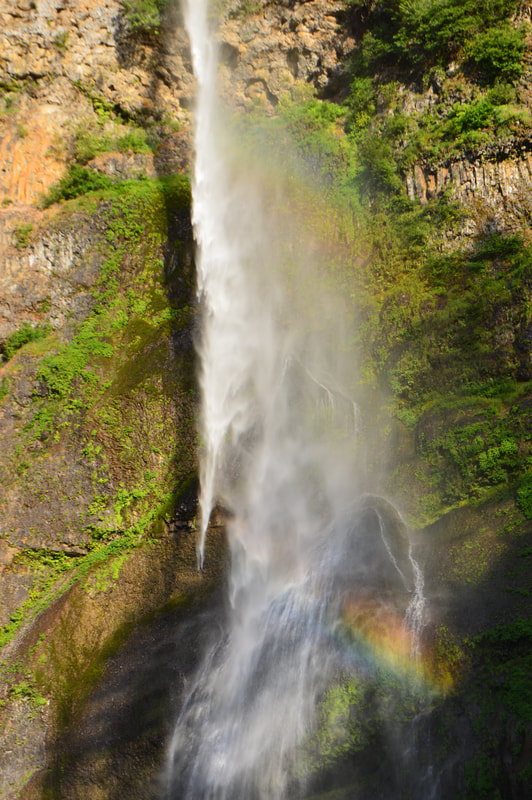
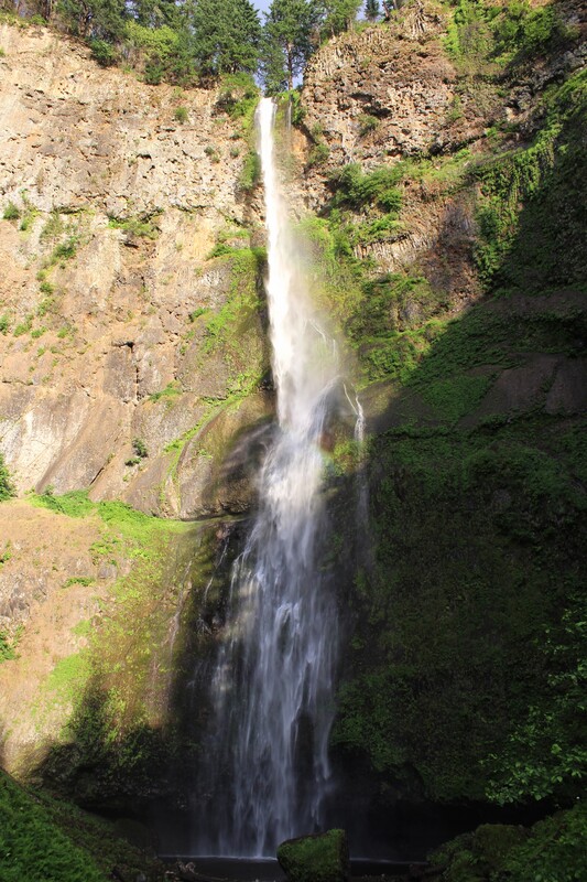
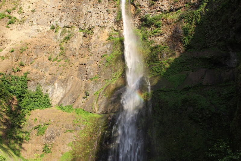
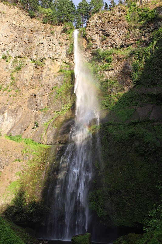
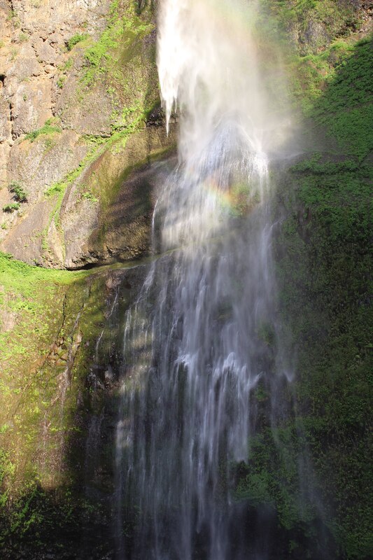
After we got back to the Multnomah Falls Trailhead and the sun was starting to go down just a little in the sky, we saw a rainbow shine across Multnomah Falls. We ran up to the Benson Bridge to take some pictures of this magnificent sight. These pictures are in the Multnomah Falls Gallery.
Click on each picture below to enlarge the picture and view the whole photo.
Stop 5
MULTNOMAH LODGE
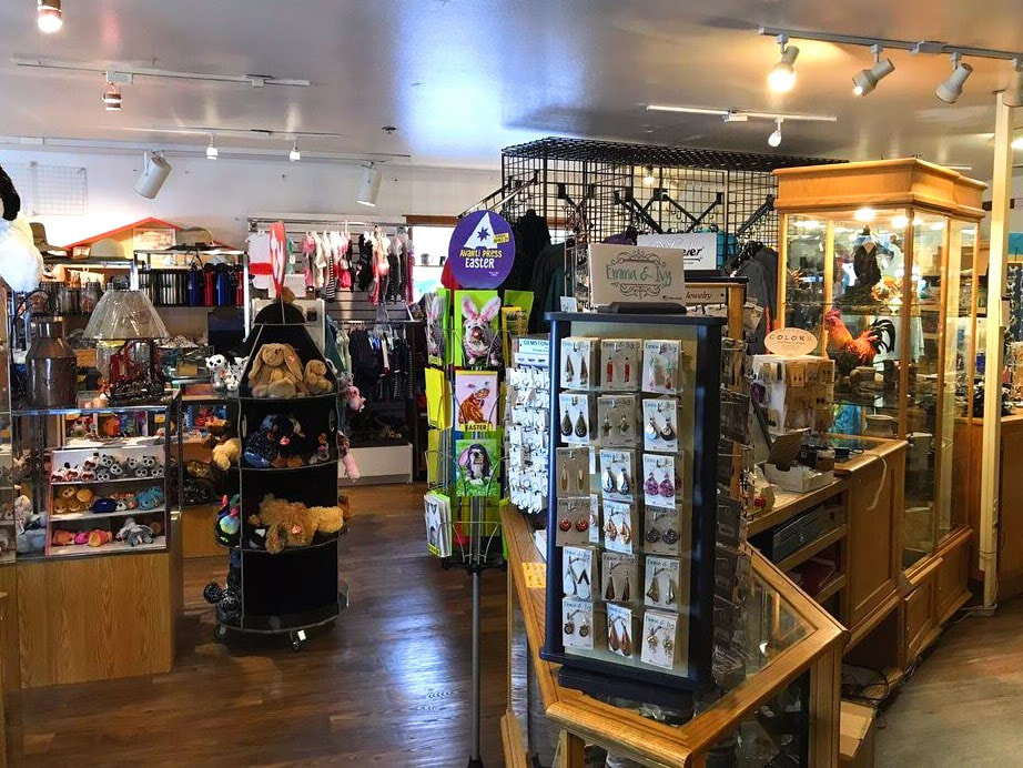
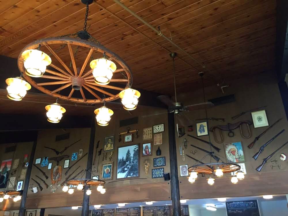
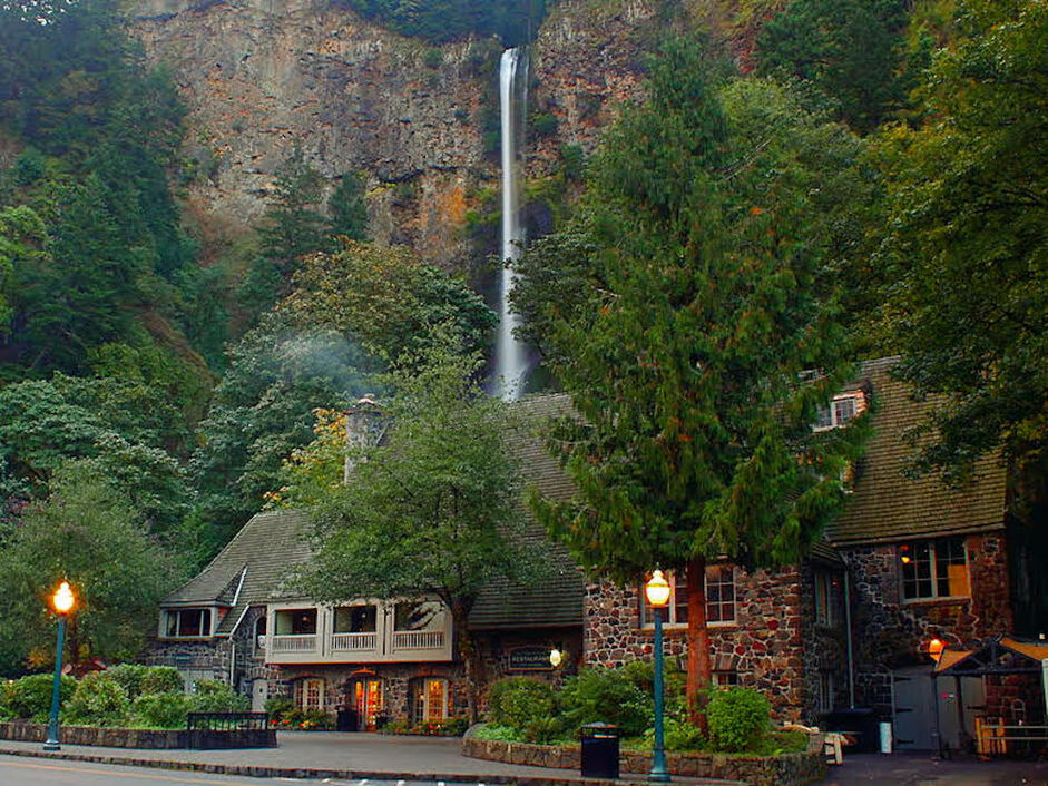
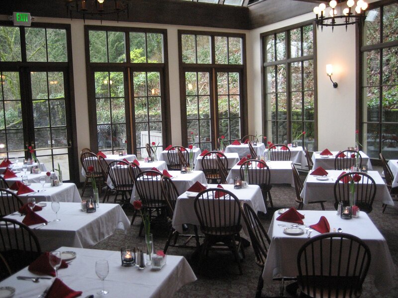
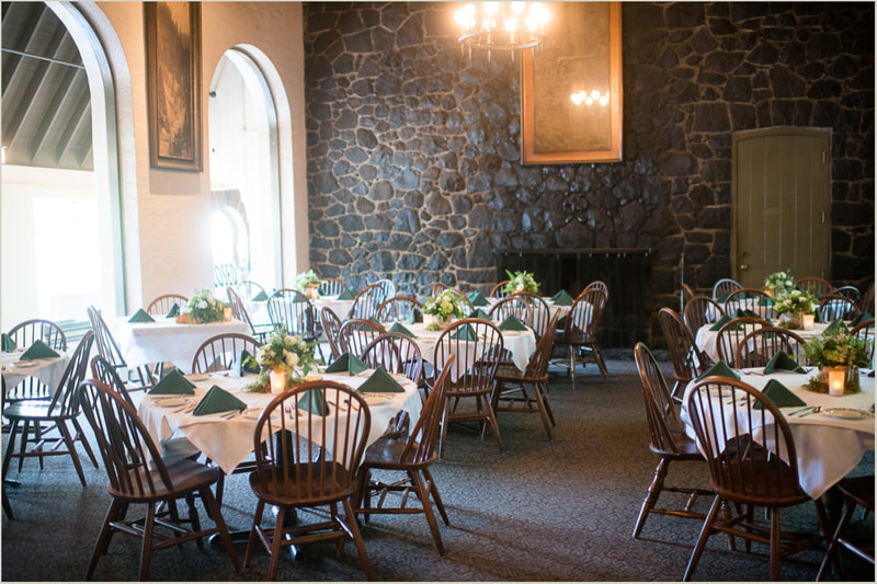
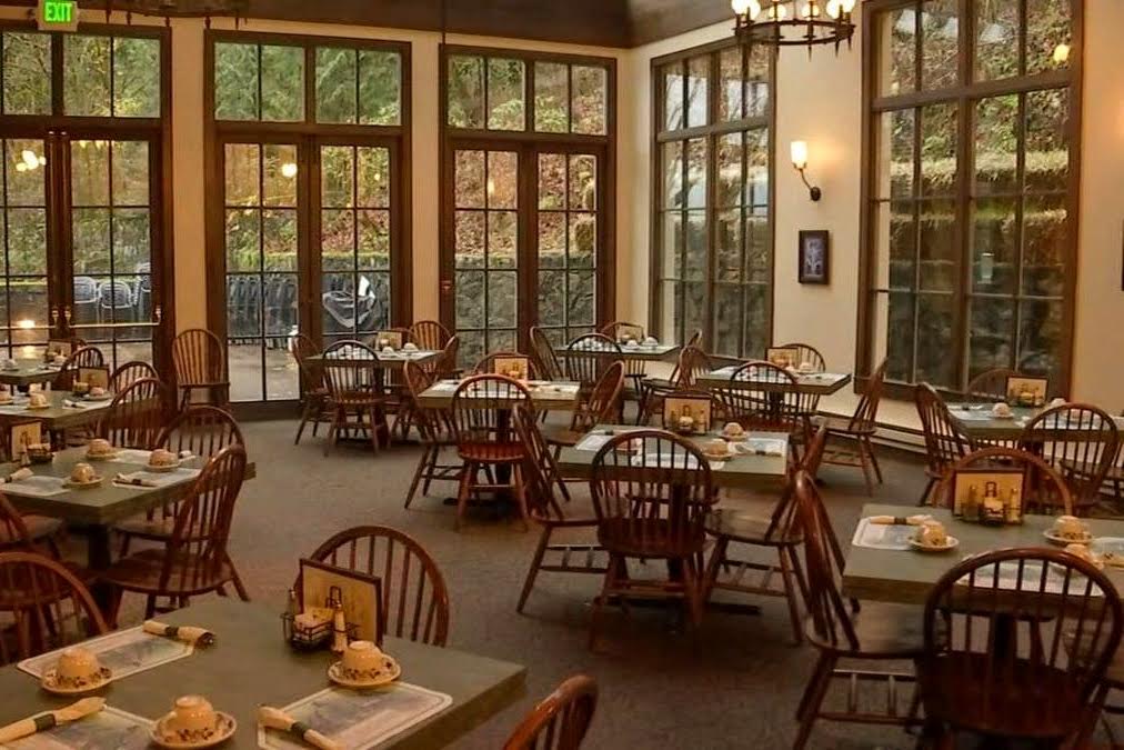
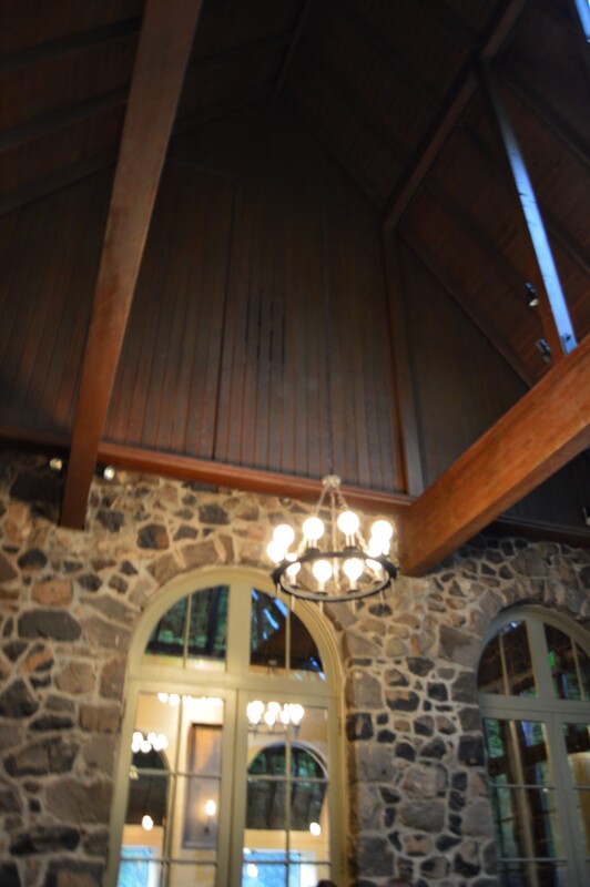
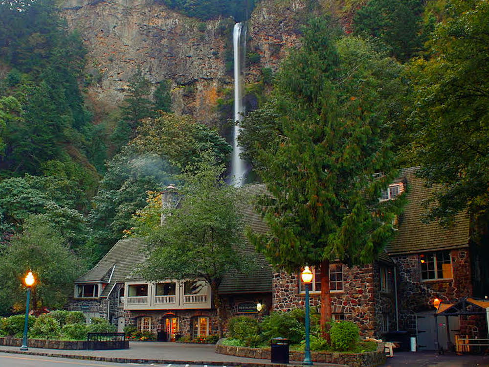
After our hike, we were starving. We had originally planned to eat lunch at the Multnomah Falls Lodge but we had decided to eat lunch at Bridgeside after getting a late start. We called the Lodge after taking pictures of the rainbow and they were still open. We went into the gift shop to pick up some souvenirs for our families and then went to the restaurant for dinner. We spontaneous dinner could not have gone better even if we had planned it. The restaurant had pretty much cleared out except for one other table. The inside reminded me of an old Medieval Norse Church. It had a rustic elegance which is my favorite type of interior building design.
Click on each picture below to enlarge the picture and view the whole photo.
End Point
HILLSBORO AIR BnB
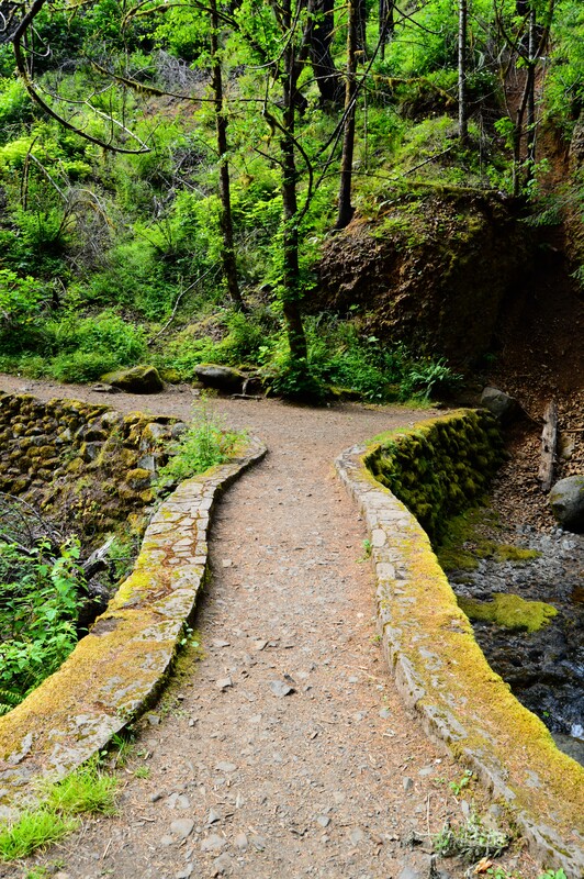
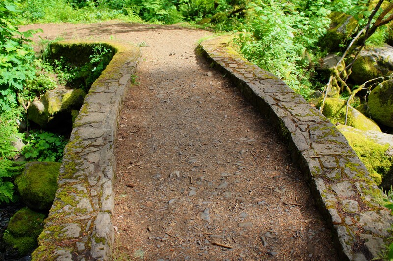
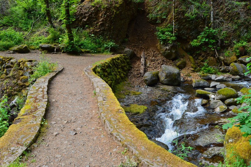
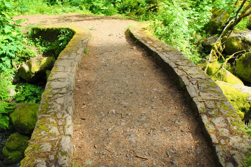
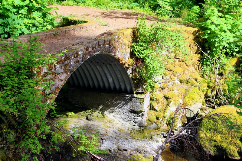
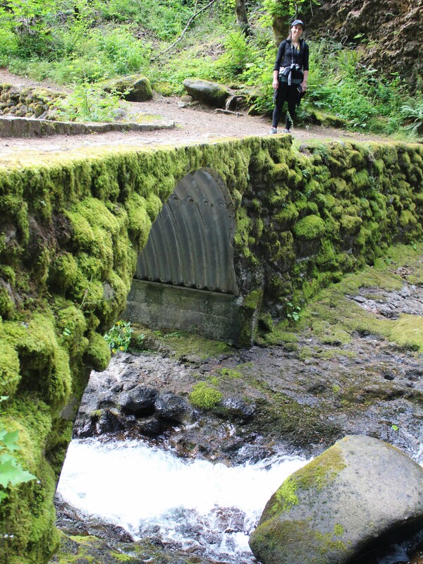
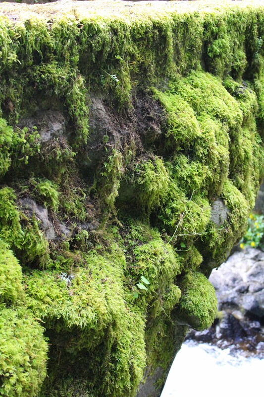
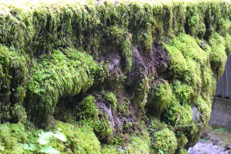
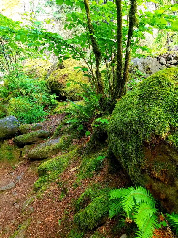
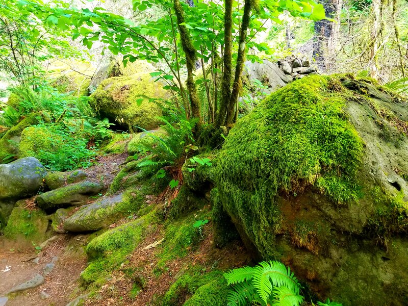
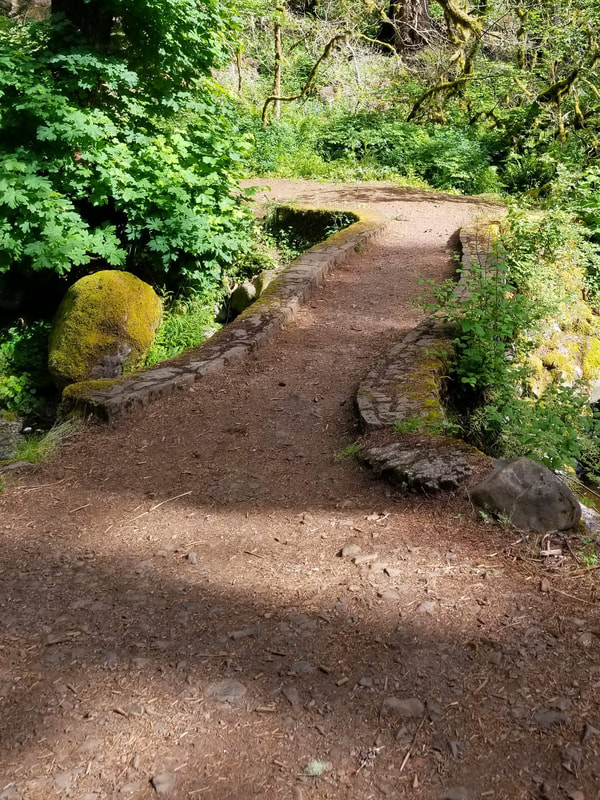
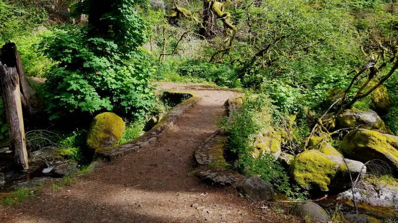
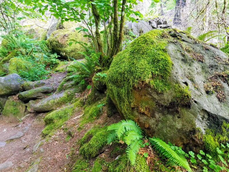
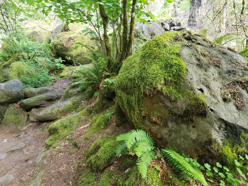
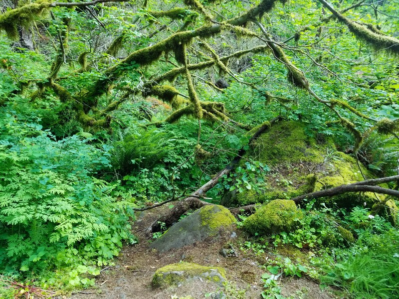
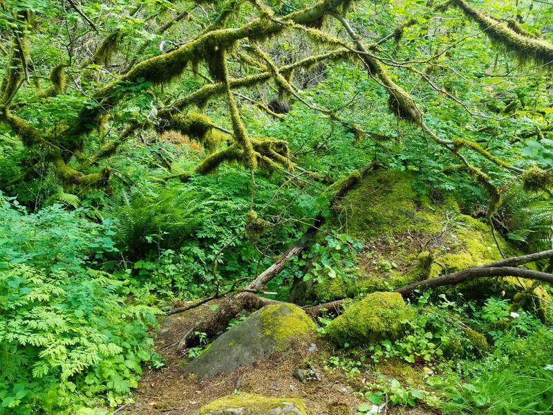
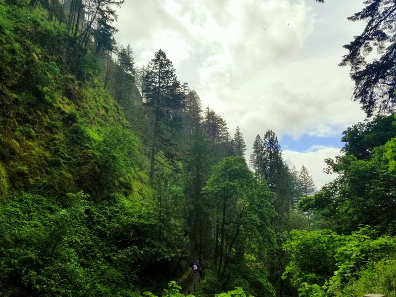
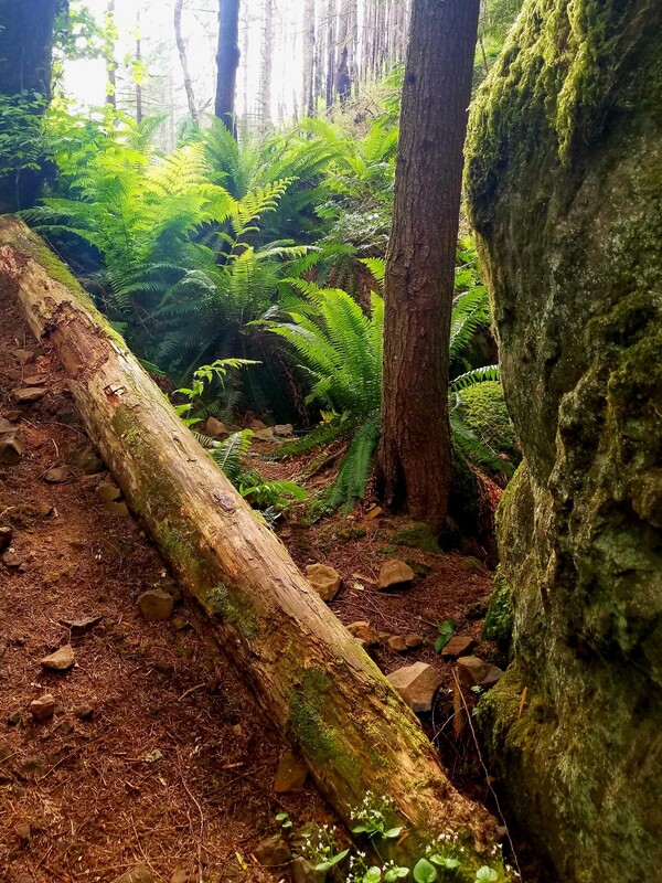
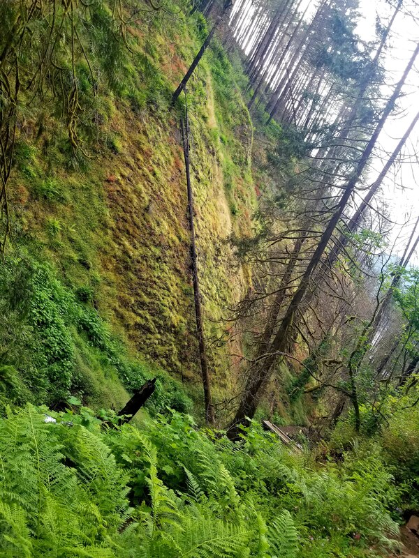
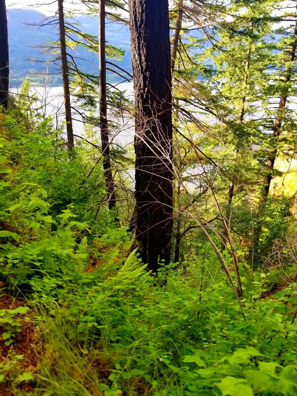
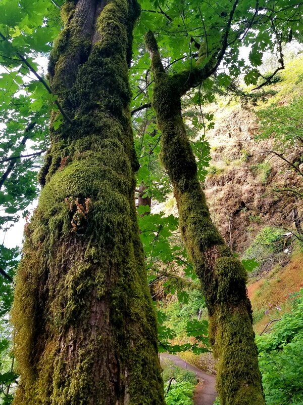
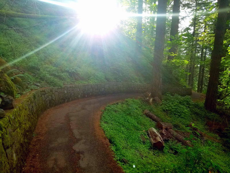
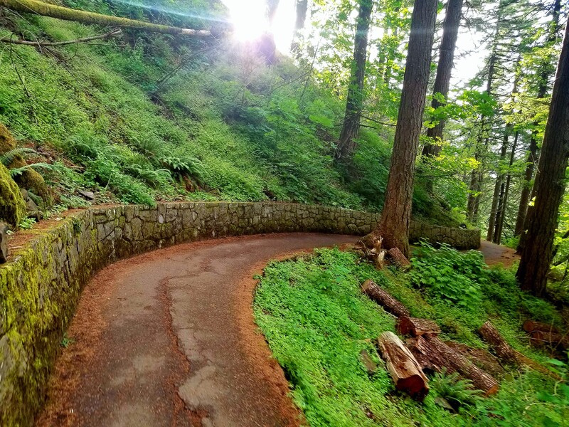
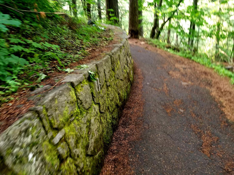
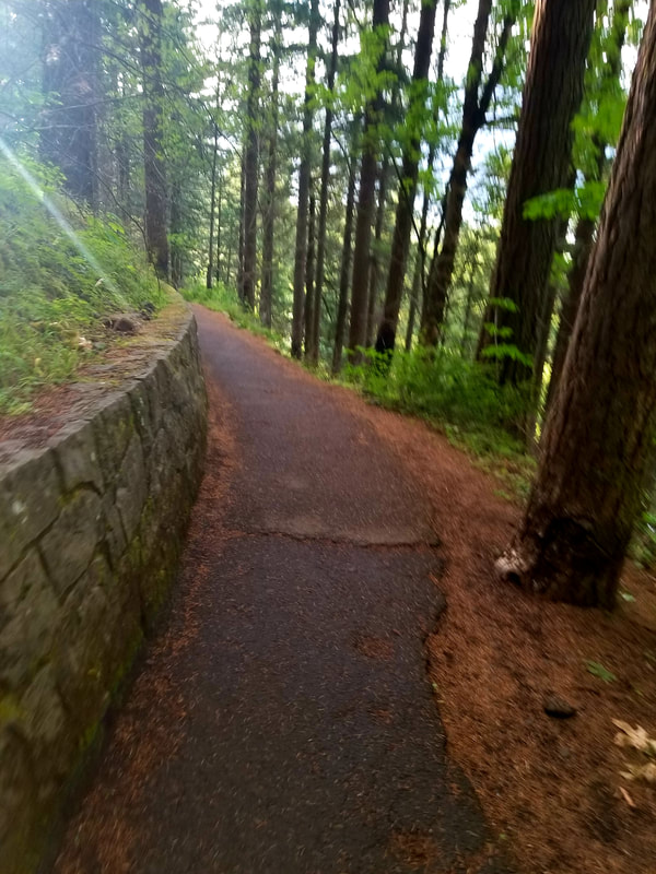
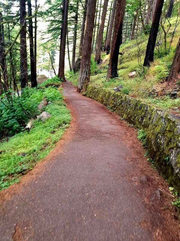
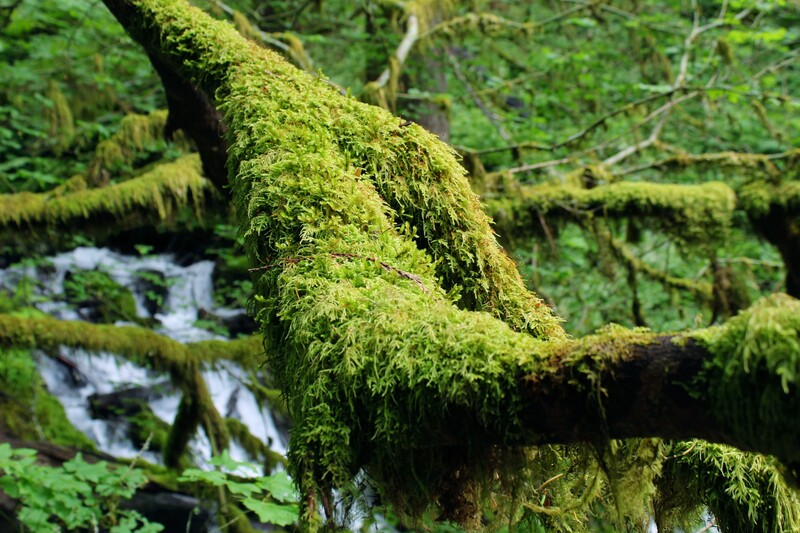
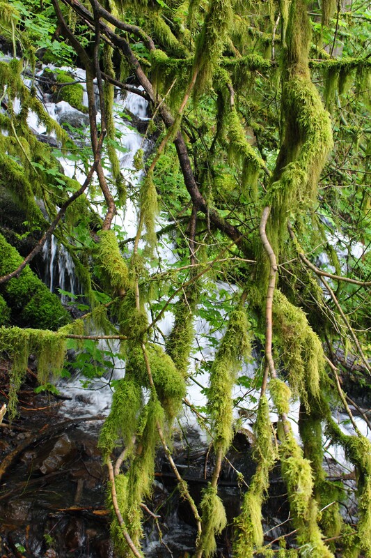
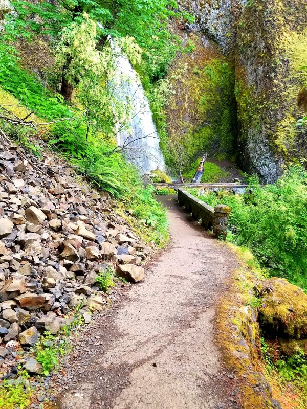
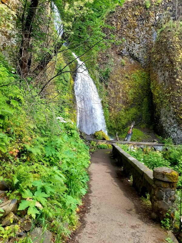
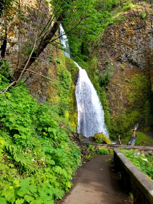
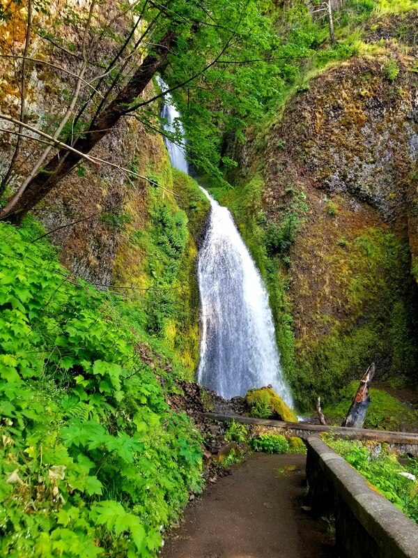
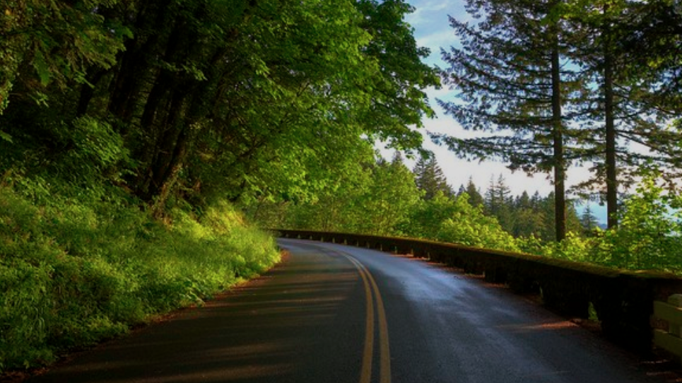
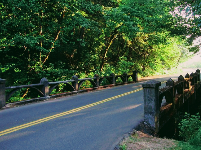
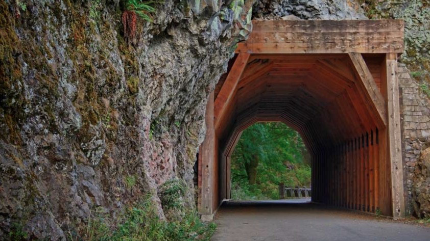
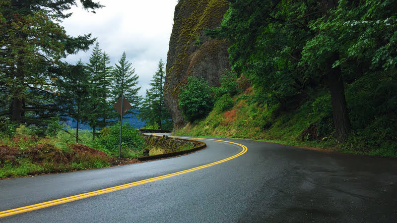
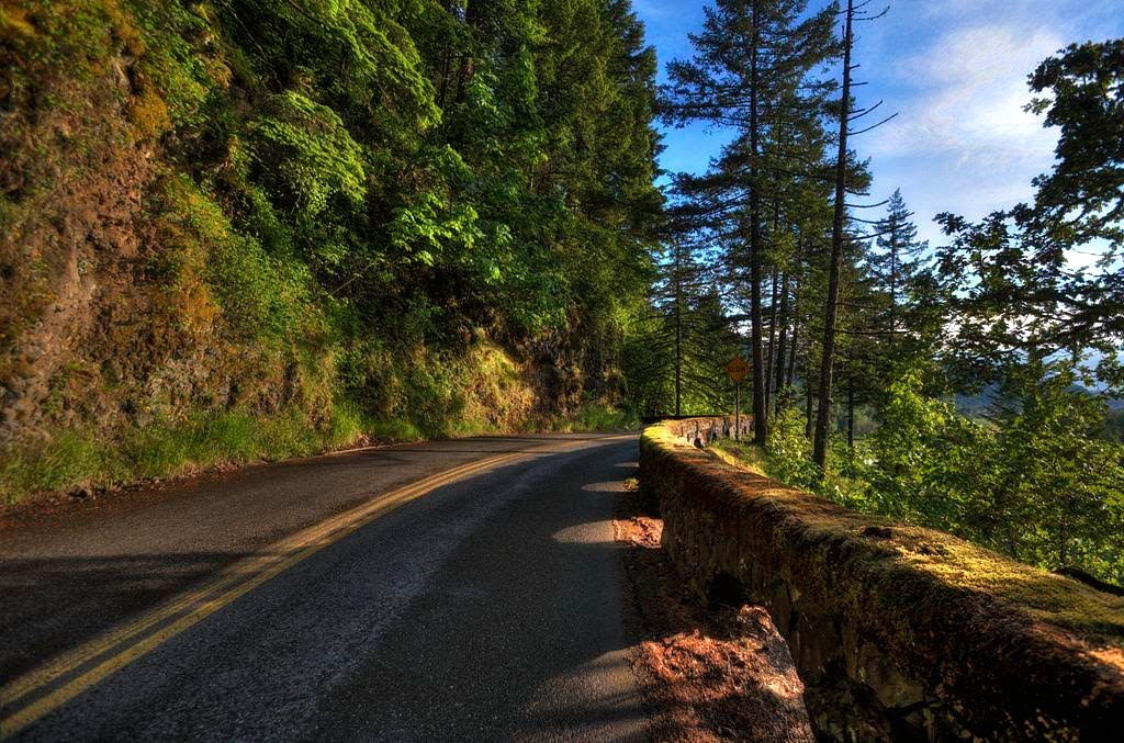
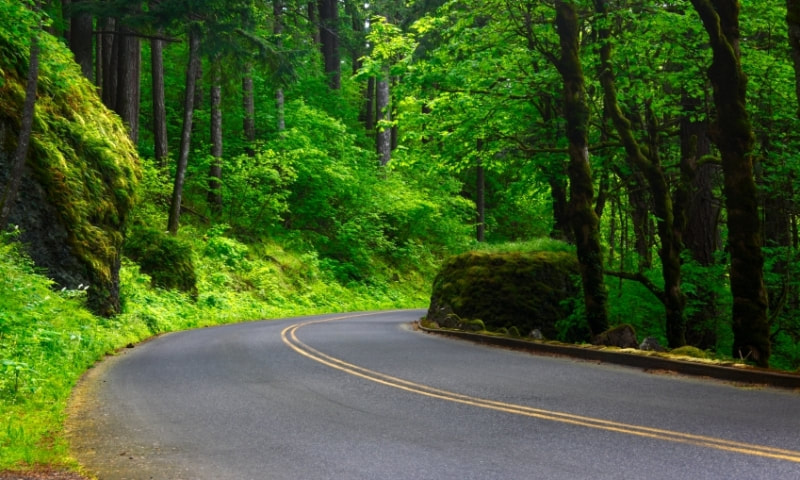
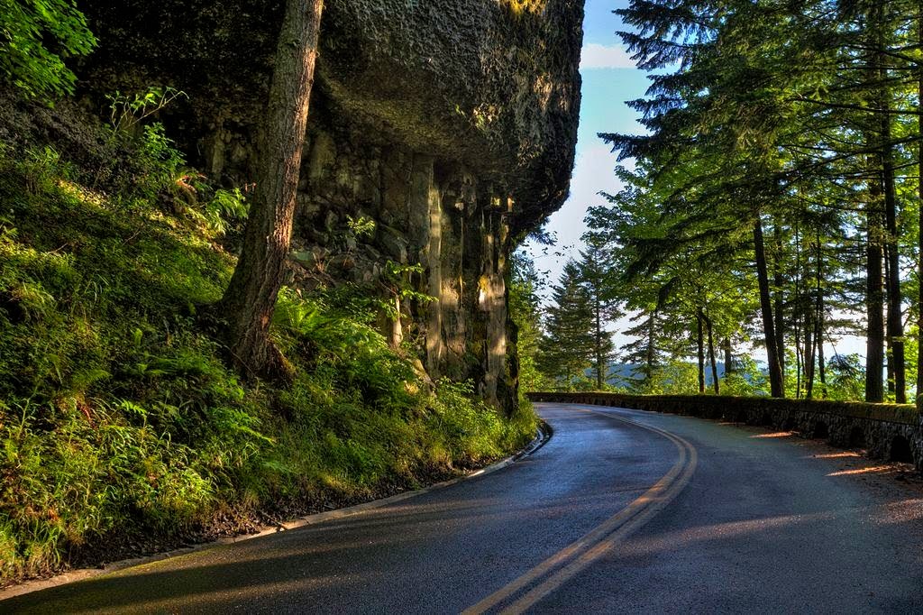
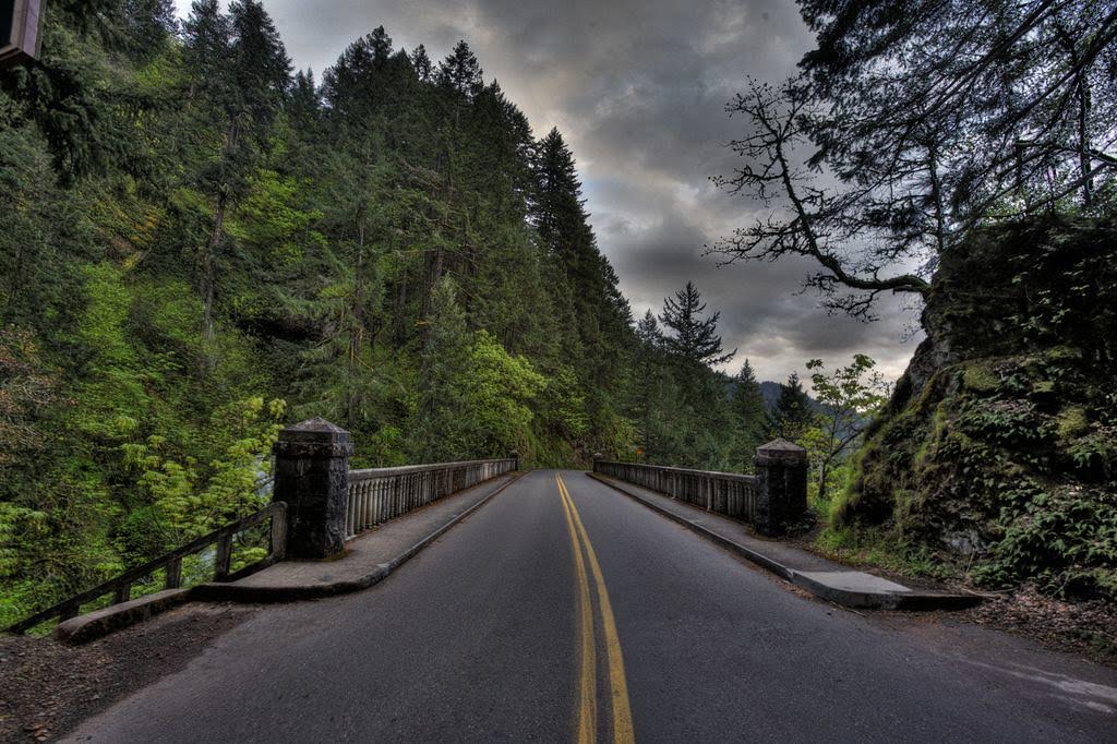
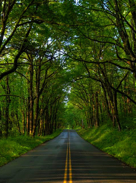
Historic Columbia River Gorge Scenic Highway is such an enchanting ride. Plush, green trees and moss covered boulders and rock formations border the winding road out of the Gorge. Beautiful stone bridges and wood tunnels allow this modern, smooth drive to maintain its natural allure.
By the time we got to Hillsboro, it was really dark. The Air BnB was in wine country and the neighborhoods were not like the suburban neighborhoods of the South. Gravel roads branched off of each other and there were no street lights. The place was a little difficult to find in the dark. The next morning, however, we realized it wasn't that difficult to get to in the daylight.
When we arrived at the Air BnB, the owners of the Air BnB were there to greet us and show us around. It was not long before we were settled in and ready to get a good night's sleep.
Click on each picture below to enlarge the picture and view the whole photo.
- ALBUMS
- THE BUCKET LIST
- 1974 - 1996 - DON
- 1975 - 1996 APRIL
- 1997 - 1999
- 2000
- 2001
- 2002
- 2003
- 2004
- 2005
-
2006
- New Years Day - 2006
- Painting Jackson'a Nursery - 2006
- January 2006 Memories
- Jackson's Birth - 2006
- Bringing Jackson Home - 2006
- Winter Memories - 2006
- Daddy-Daughter Dance - 2006
- Spring Memories - 2006
- Jackson's Baptism - 2006
- Easter - 2006
- Beach Trip - 2006
- Summer Memories - 2006
- Family Reunion - 2006
- Auburn Football Season - 2006
- Hannah's 2nd Birthday - 2006
- Montgomery Zoo Trip - 2006
- Halloween - 2006
- Fall Memories - 2006
- Thanksgiving - 2006
- Alsobrook Fancy Christmas Party - 2006
- Granny's Birthday Party - 2006
- Christmas - 2006
- Winter Memories - 2006
- Portraits - 2006
- 2007
- 2008
- 2009
- 2010
- 2011
- 2012
- 2013
- 2014
- 2015
- 2016
- 2017
- 2018
- 2019
-
2020
- NEW YEARS 2020
- TALLEDEGA NATIONAL PARK 2020
- SIPSEY WILDERNESS HIKE
- 2020 EASTER
- APRIL 2020 MEMORIES
- 2020 COVID PARADE
- JUNE 2020 GIRLS' TRIP NORTH GEORGIA MOUNTAINS
- FATHER'S DAY 2020
- 4th OF JULY IN CARRINGTON LAKES
- CONNOR'S 12th BIRTHDAY
- HANNAH'S 16th BIRTHDAY
- HALLOWEEN 2020
- THANKSGIVING 2020
- Christmas 2020
-
2021
- SKIING IN GATLINBURG
- SPRING BREAK IN SAVANNAH
- 2021 OUTDOOR TRACK SEASON
- NOAH'S GRADUATION PARTY
- JUNE 13 MOSS CREEK HIKE
- FATHER'S DAY 2021
- RIVER RAFTING THE OCOEE
- FAMILY REUNION & BEACH TRIP - 2021
- SUMMER AT THE GRAND
- DON'S 47th BIRTHDAY
- CONNOR'S 13th BIRTHDAY
- HANNAH'S 17th BIRTHDAY
- CONNOR'S BAND CONCERT 2021
- THANKSGIVING 2021
- INDOOR TRACK SEASON 2021
- LORNA'S SURPRISE PARTIES
- CHRISTMAS 2021
- NEW YEARS EVE 2021
- 2022
